Cooler with light falls of new snow.
12th January 2026
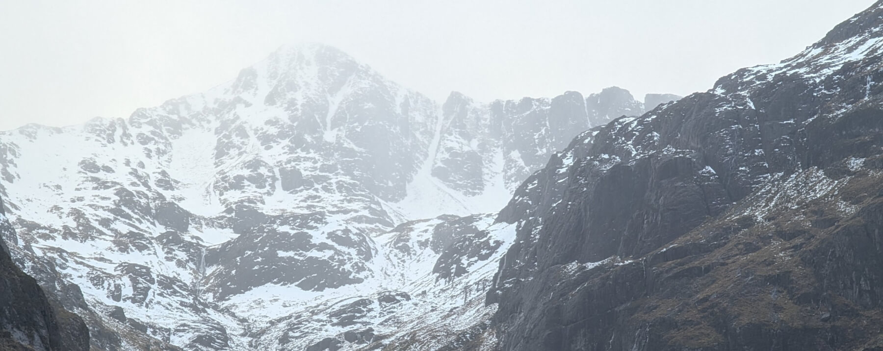
Wet and windy conditions today becoming cooler later in the day. Much of the snow at lower levels has gone, the best accumulations are now in the higher Northerly and Easterly corries.
Becoming cooler with some new snow overnight and through Tuesday, the old snow will start to re-freeze forming a crust in places. Amounts of new snow are not expected to be great but localised areas of unstable windslab will form in wind sheltered areas where some small fragile cornices may also form, check out the report for more details.
Limited visibility again today for photos.
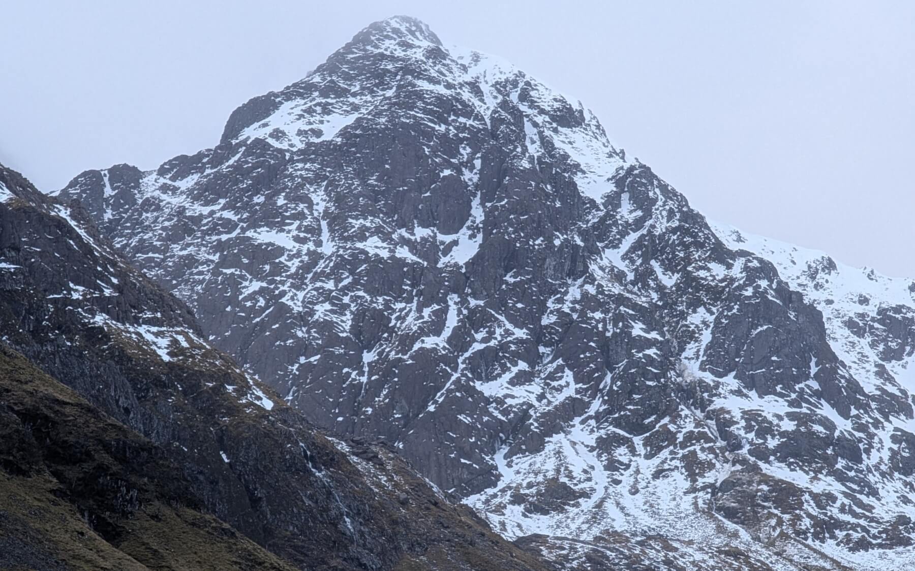
Stob Coire nam Beith.
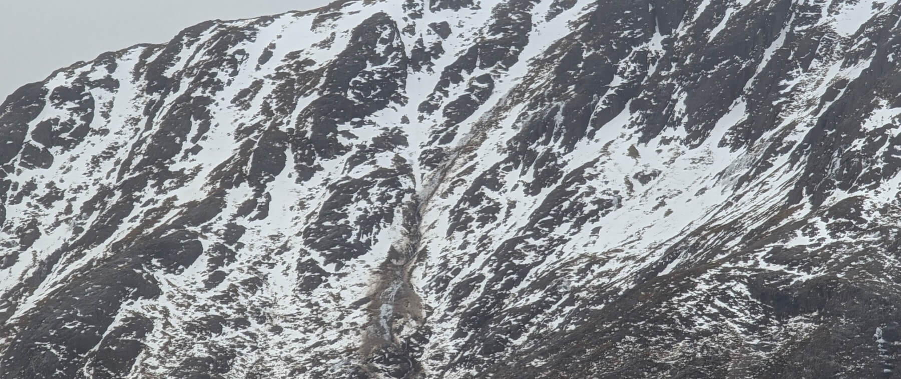
Wet snow/mud avalanche Stob Ghlais Choire
Stob Ghlais Choire.
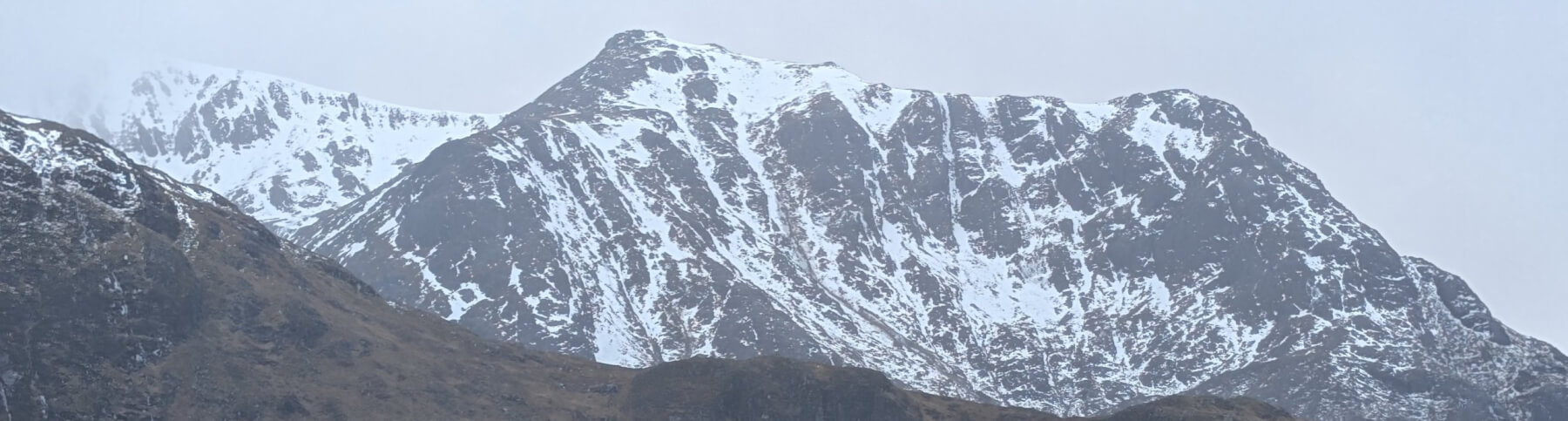
Creise.
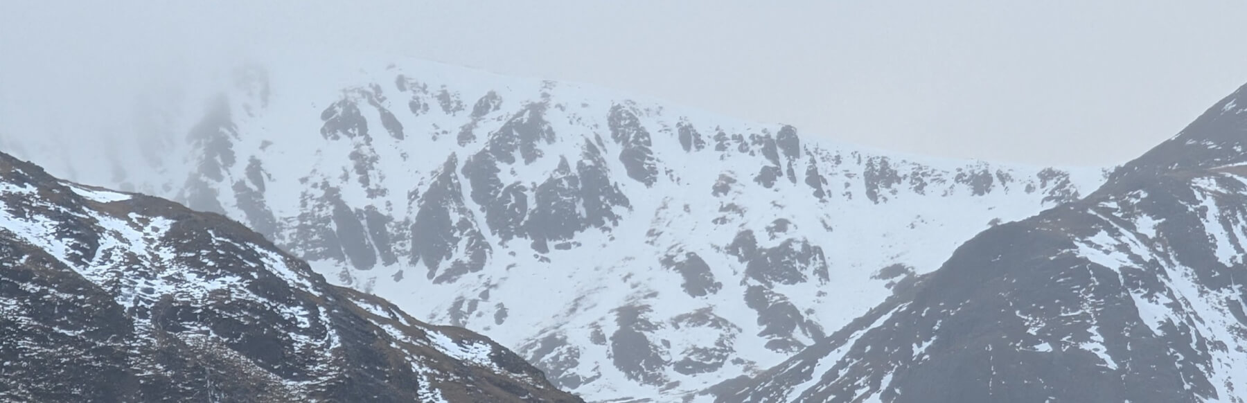
Stob Coire nan Lochan.
Comments on this post
Got something to say? Leave a comment