Isolated Showers
29th January 2026
Continuing South-Easterly winds brought isolated showers today, falling as snow above 700 meters, some of these showers not reaching the far westerly summits of the area. Feeling breezy and cold at summit level much of the snowpack is firm and scoured. Areas of deeper accumulations and reasonably bonded windslab remain in wind sheltered locations, a thin surface crust improving surface stability, these areas are not extensive or wide spread and are mainly on West to North aspects above 950 metres. Cornices can be seen on some ridge flanks and coire rims. Poor visibility during showers but summit views throughout the day.
A dry night with further snow tomorrow, windy again from the South-East. The wintery weather continuing into the new forecast period.
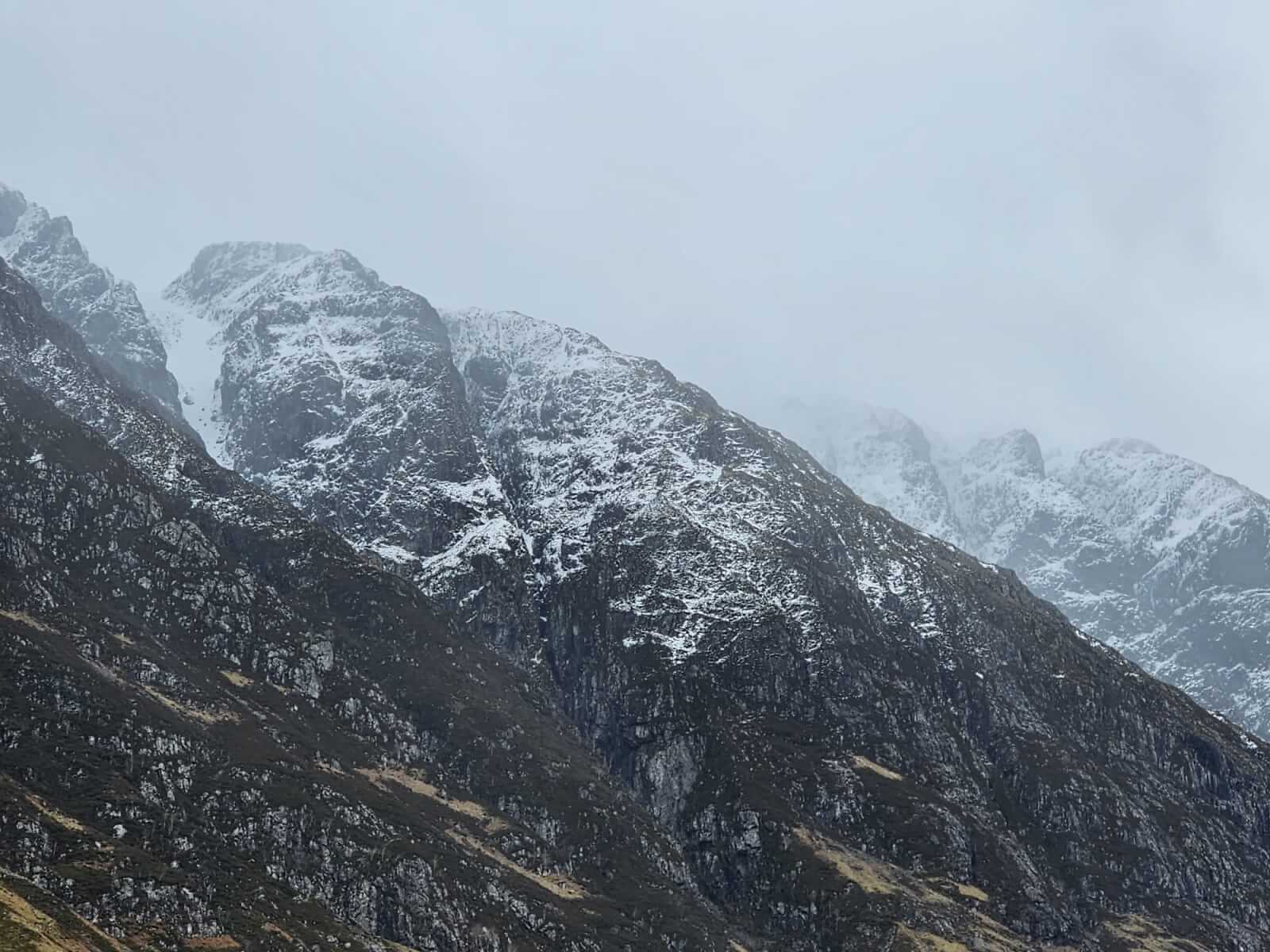
A view along the Aonach Eagach Ridge during one of the light showers during the day.
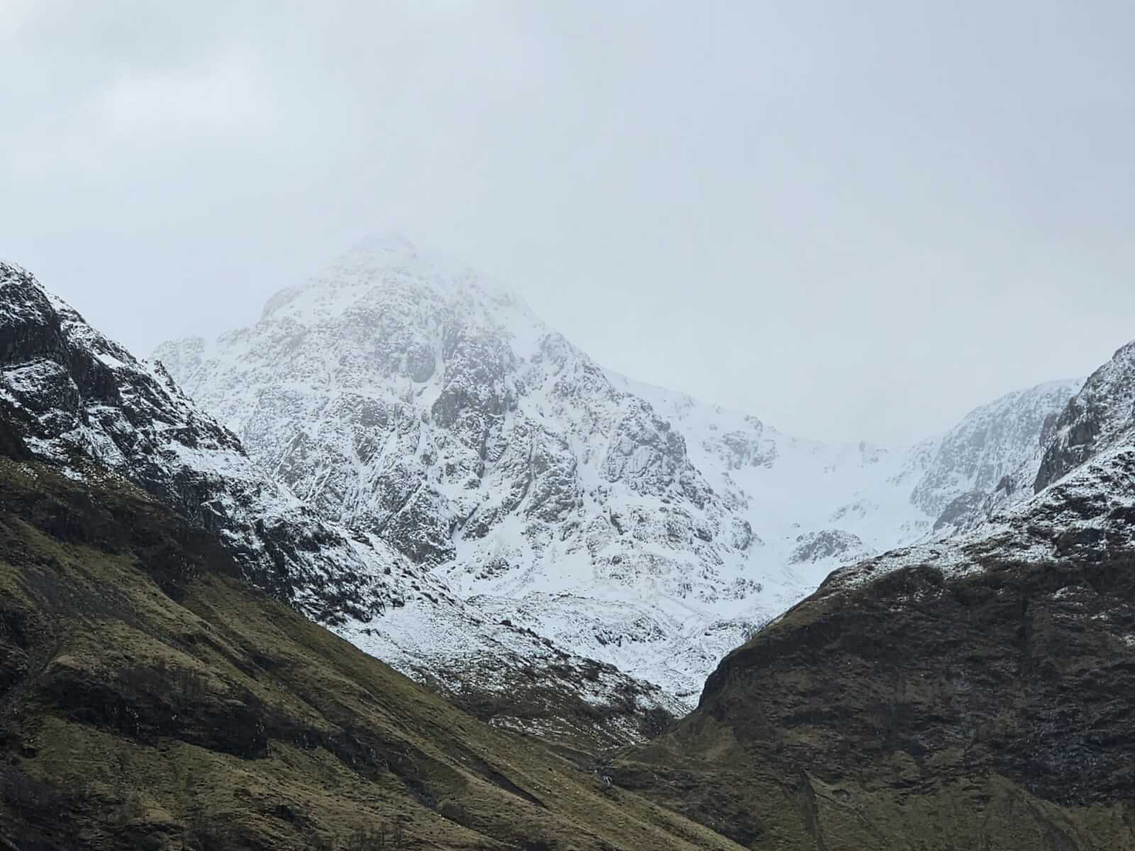
Stob Coire nam Beith, the snowline around 700 metres.

Lairig Eilde and Beinn Fhada.

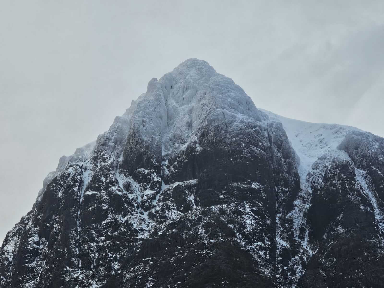
Thick rime ice forming over the last few days on the cold southerly airstream.
The upper elevations of Stob Dearg, Buachaille Etive Mor, a wintery defined Crowberry Ridge and tower.

Distant views into Coire nan Lochan with Gearr Aonach in the fore ground.
Comments on this post
Got something to say? Leave a comment


