Rain then snow
22nd January 2026
After a thaw at all levels rain gradually turned to snow above around 650 metres with very strong East-South-Easterly winds. New snow gradually became deeper through the day with a thaw of snow at lower elevations continuing. Heavy snow is forecast, initially above around 550 metres, for the remainder of Thursday and overnight into Friday. Gale force Easterly winds decreasing slightly during the day on Friday and the freezing level rising to around 800 metres by the end of the day.
Photos are from first thing this morning after the thaw but before precipitation turned to snow. Visibility was very poor on the hill and during precipitation later in the day limiting any photo opportunities. The hills will already look much whiter at the time of writing and given the overnight snowfall are expected to look very different by Friday morning.
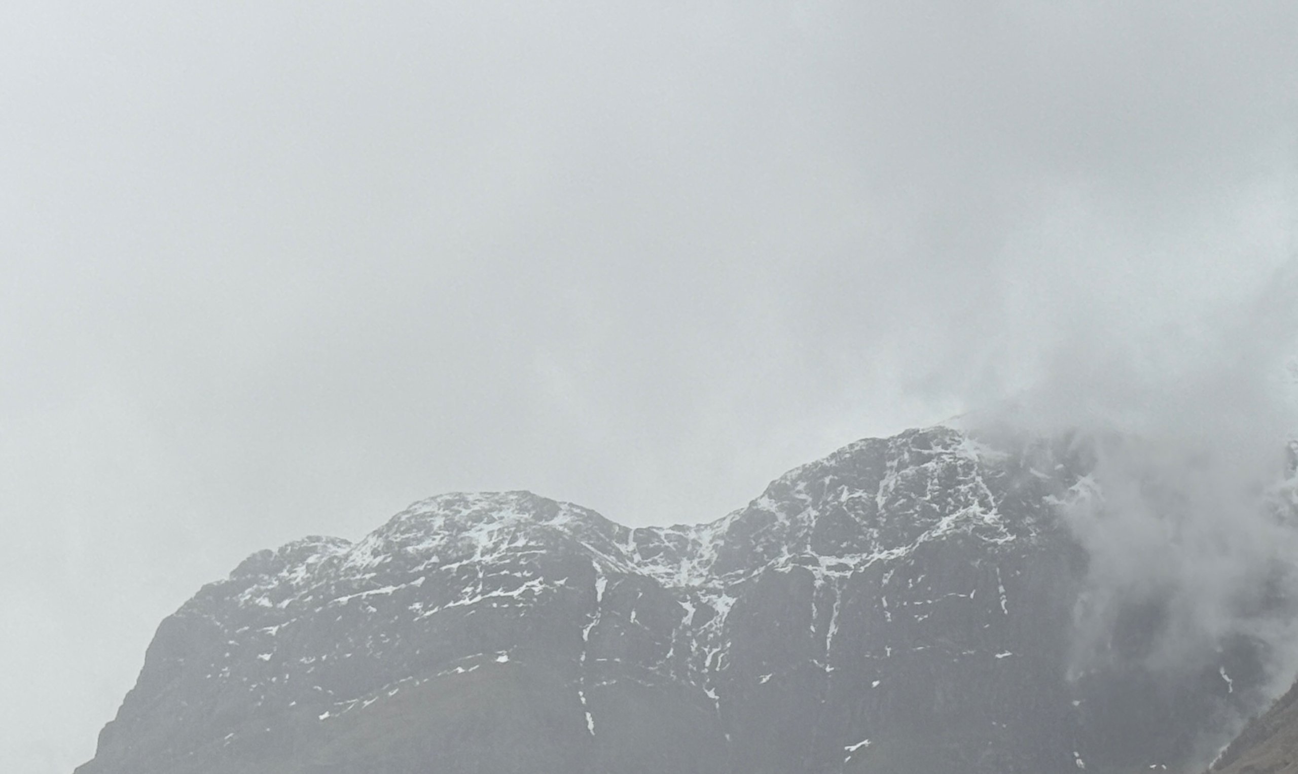
West face of Aonach Dubh this morning
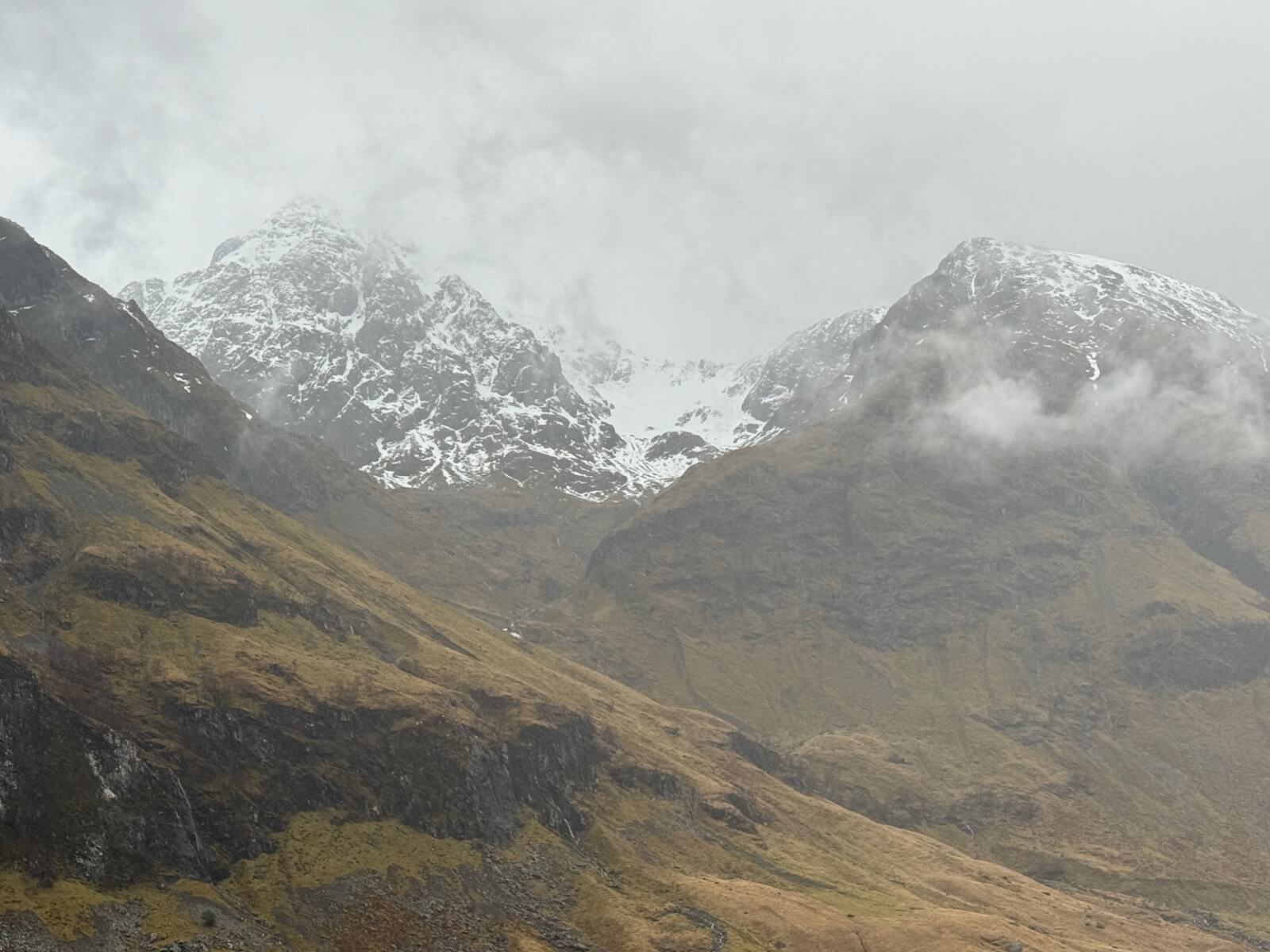
Stob Coire nam Beith, this morning
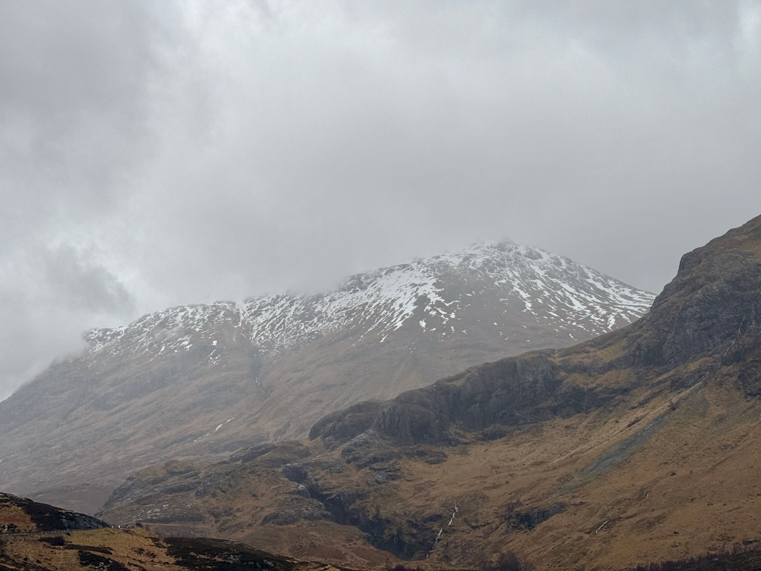
Buachaille Etive Beag, this morning
Comments on this post
Got something to say? Leave a comment


