Showery Snow Top Up
13th January 2026
A showery day with some bright intervals, snow falling above around 600 metres. The existing snowpack has begun to refreeze though at most elevations the crust was breaking through under foot. Localised deposits of poorly bonded soft windslab has formed in wind sheltered areas, mainly north-east to south-east aspects above 850 metres with some northerly aspects also affected. Cornices have also formed on these aspects. West-south-west winds have been light to moderate especially around the higher summits.
Further light snow showers overnight falling on the existing snowpack with strong south-westerly winds will continue to build the localised instabilities but these are not expected to become deep enough or more widespread to justify increasing the hazard, though greater snow amounts are a possibility.
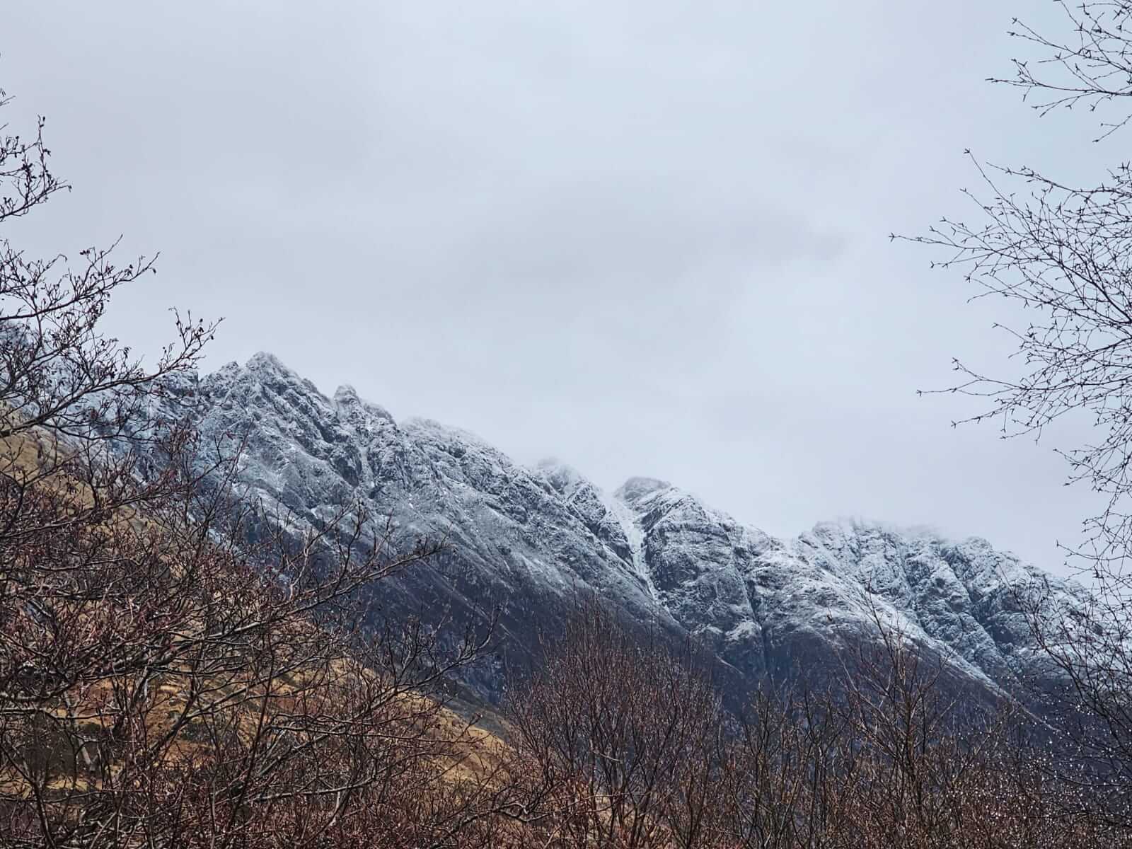
A distinct snow line along the Aonach Eagach ridge with overnight snow above around 600 metres.
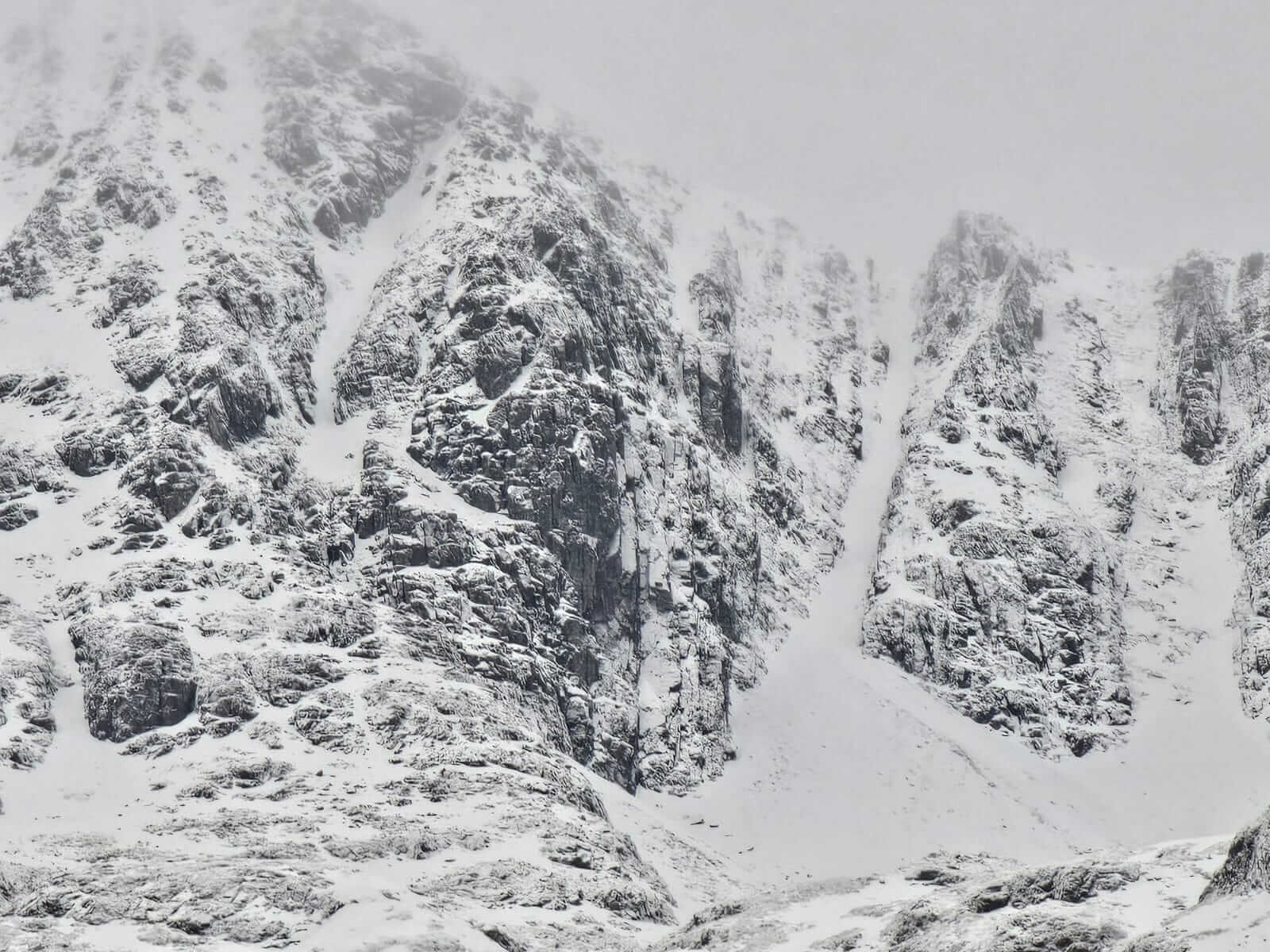
A closer view of Coire nan Lochan, Broad Gully the obvious snow filled route right of centre.
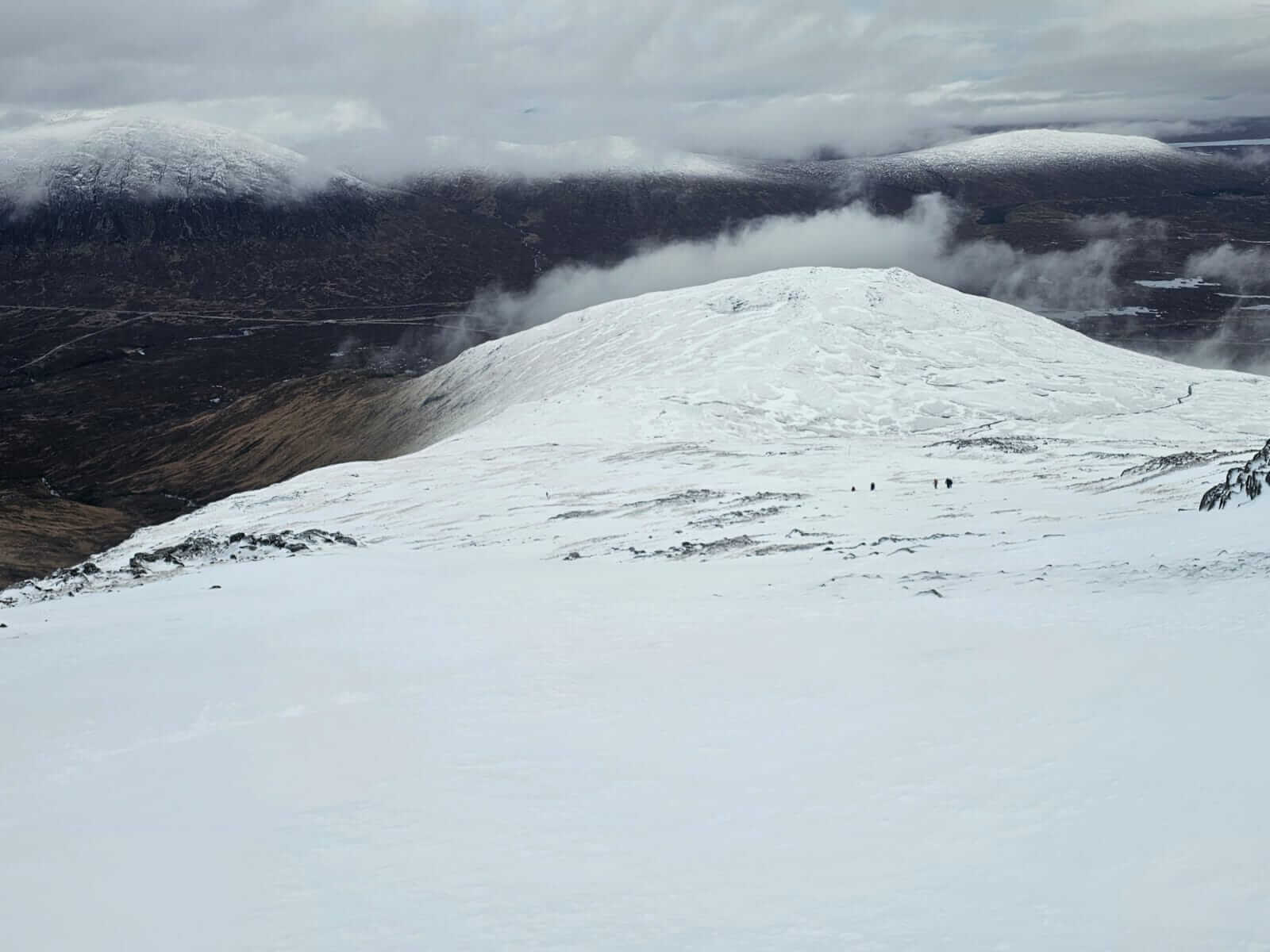
Looking down northerly aspects Meall a Bhuiridh, several groups out walking and skills training today.
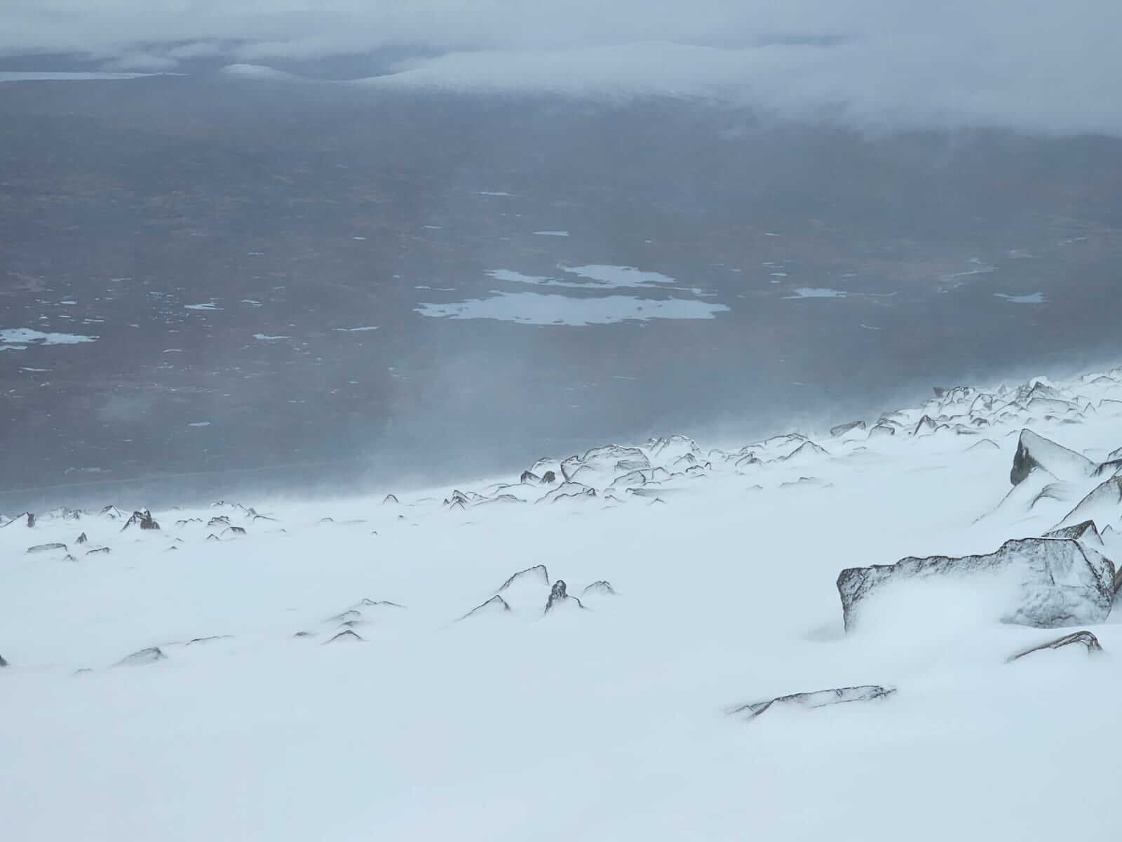
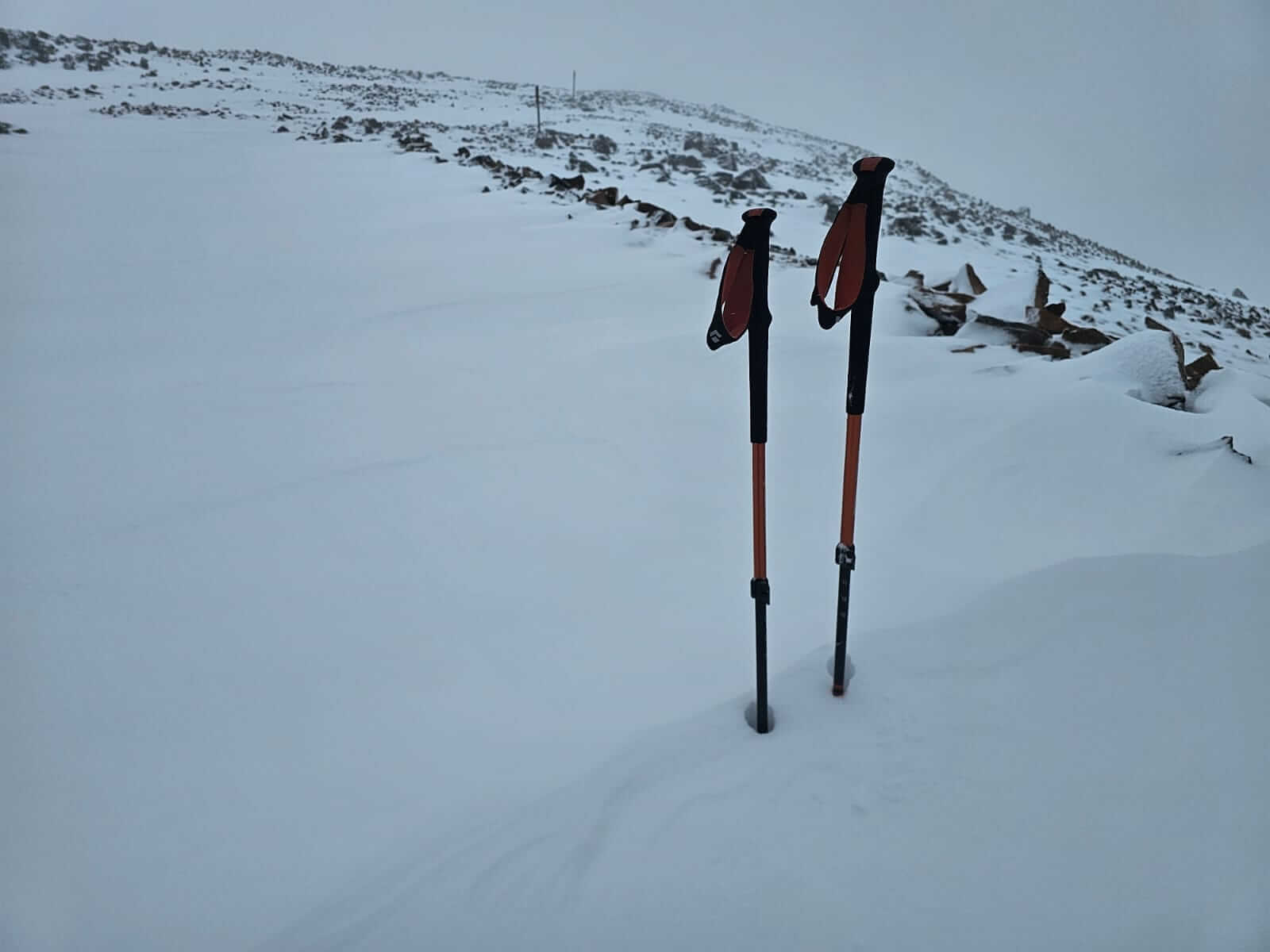
Snow being redistributed in the moderate to fresh westerly winds at higher elevations. 1000 metres on Meall a Bhuiridh.
Deeper drifts forming in some wind sheltered locations. Here on a north aspect, Meall a Bhuiridh.
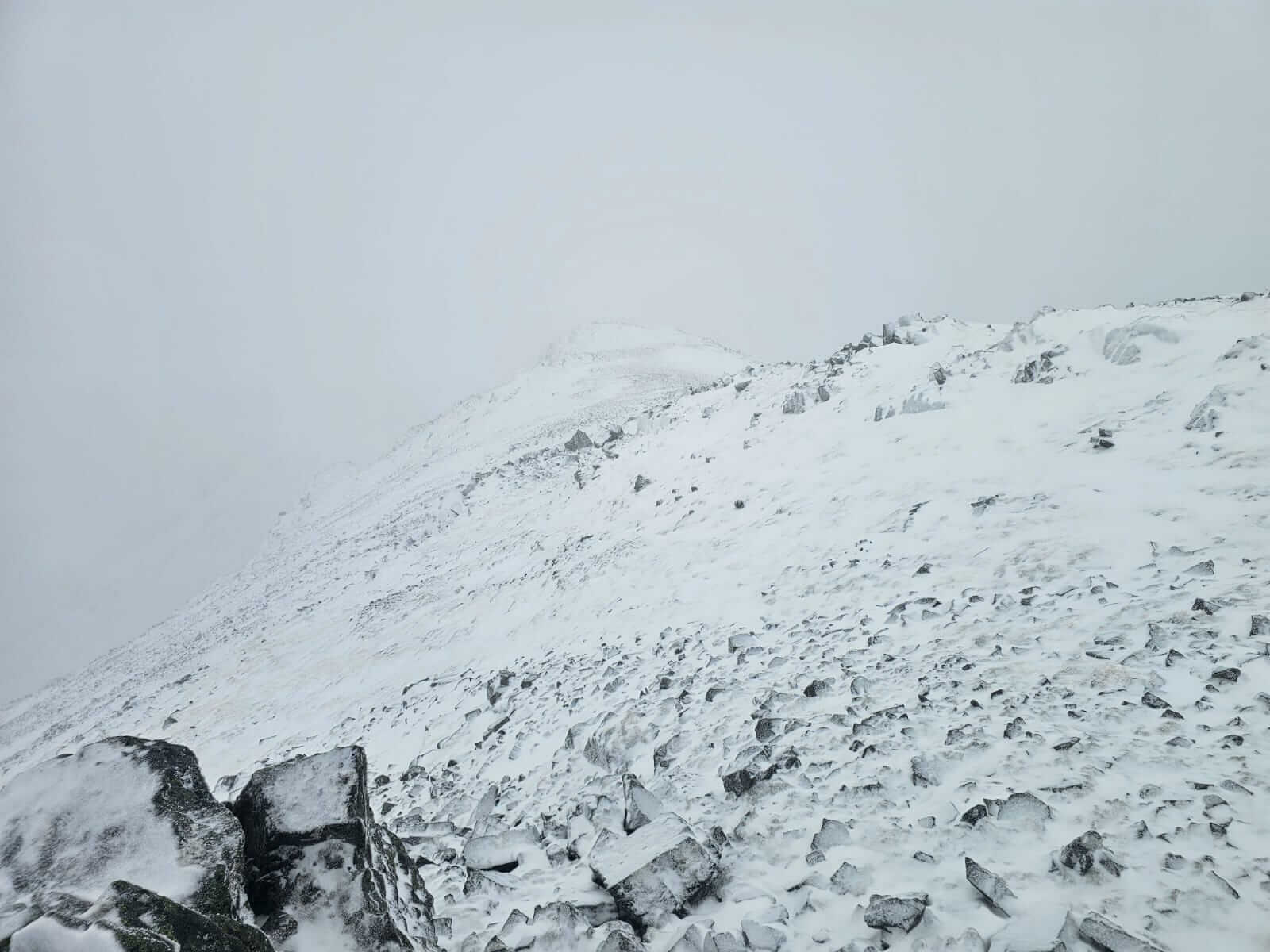
Looking across the bealach from the summit of Meall a Bhuiridh during one of the regular snow showers, Creise hidden in the distance. The slope dropping away is a southerly aspect.
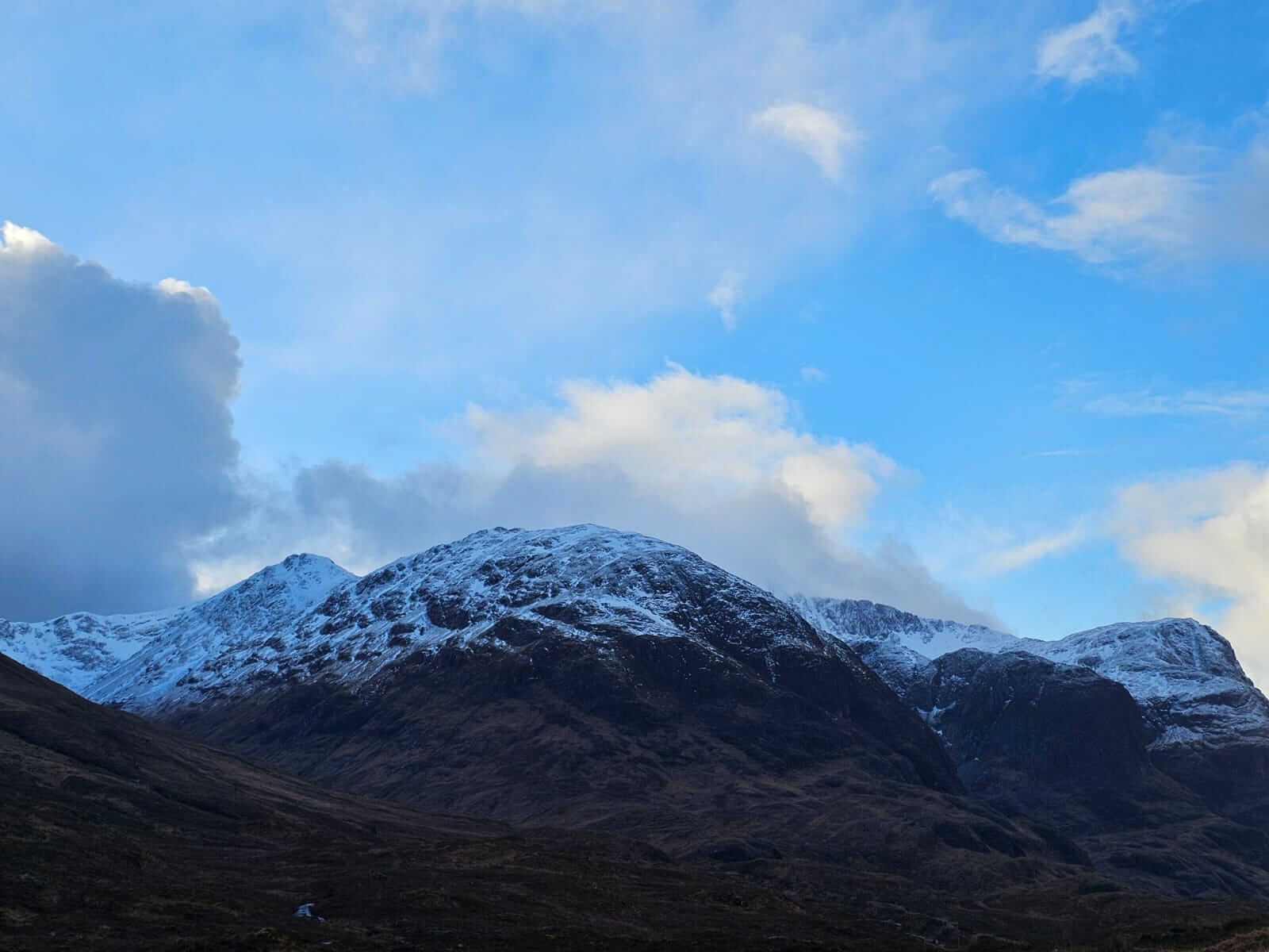
A distinct snowline across the ‘Three Sisters’ with blue skies and cloud. The highest summits of Stob Coire nan Lochan and Bidean nam Bian hidden behind Beinn Fhada.
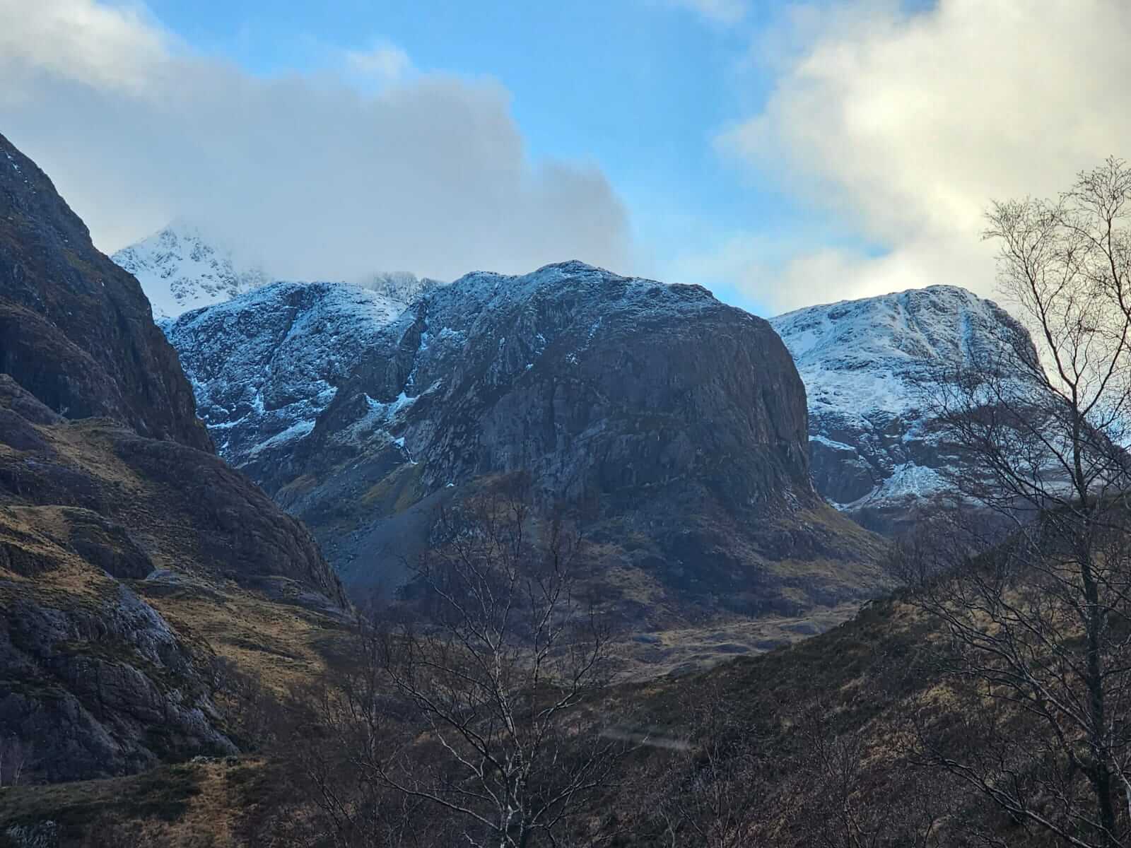
Looking down the ‘Glen’ in one of brighter periods.
Comments on this post
Got something to say? Leave a comment