The White Room this morning.
7th January 2026
Yesterday afternoon rain and sleet fell up around 830 metres followed by a cold night. This left a thin rain crust on the snowpack at lower level wet snow refroze leaving many icy areas. Today was predominantly dry, winds were light to moderate from the North-Westerly direction. The freezing level was around 550 metres. Poor visibility first thing this morning with clearer spells developing as the various photos show. A change in wind direction tomorrow and new snow this will affect the more northerly aspects, see the avalanche reports.
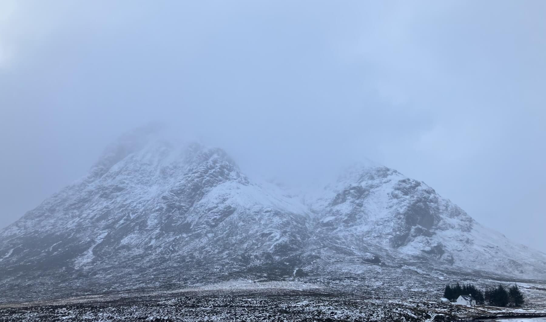
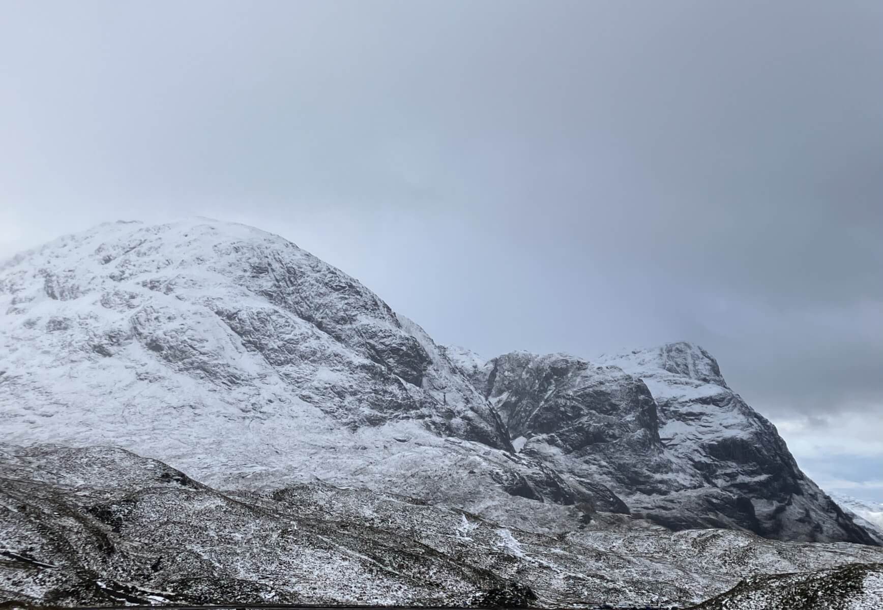
Stob Dearg – Buachaille Etive Mor around 9.30 this morning, see lower photos as it cleared after midday.
Some deep drifted snow pockets are present these are often localised.
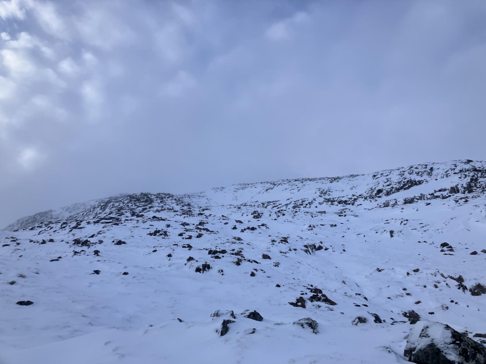
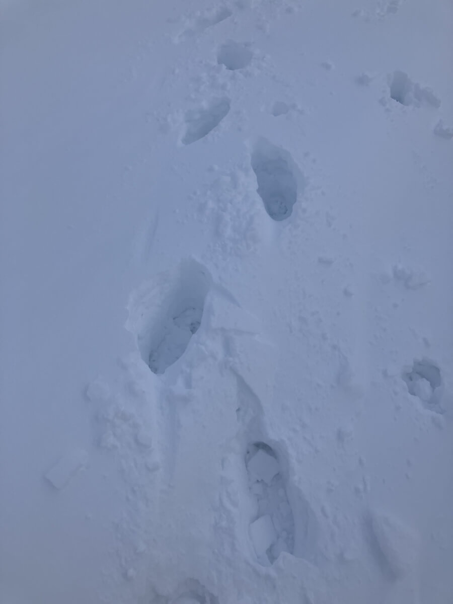
Snow cover here above 850 metres it is still generally unconsolidated breaking through to bare ground.
Again pillows of deep snow where often wind slab exists.
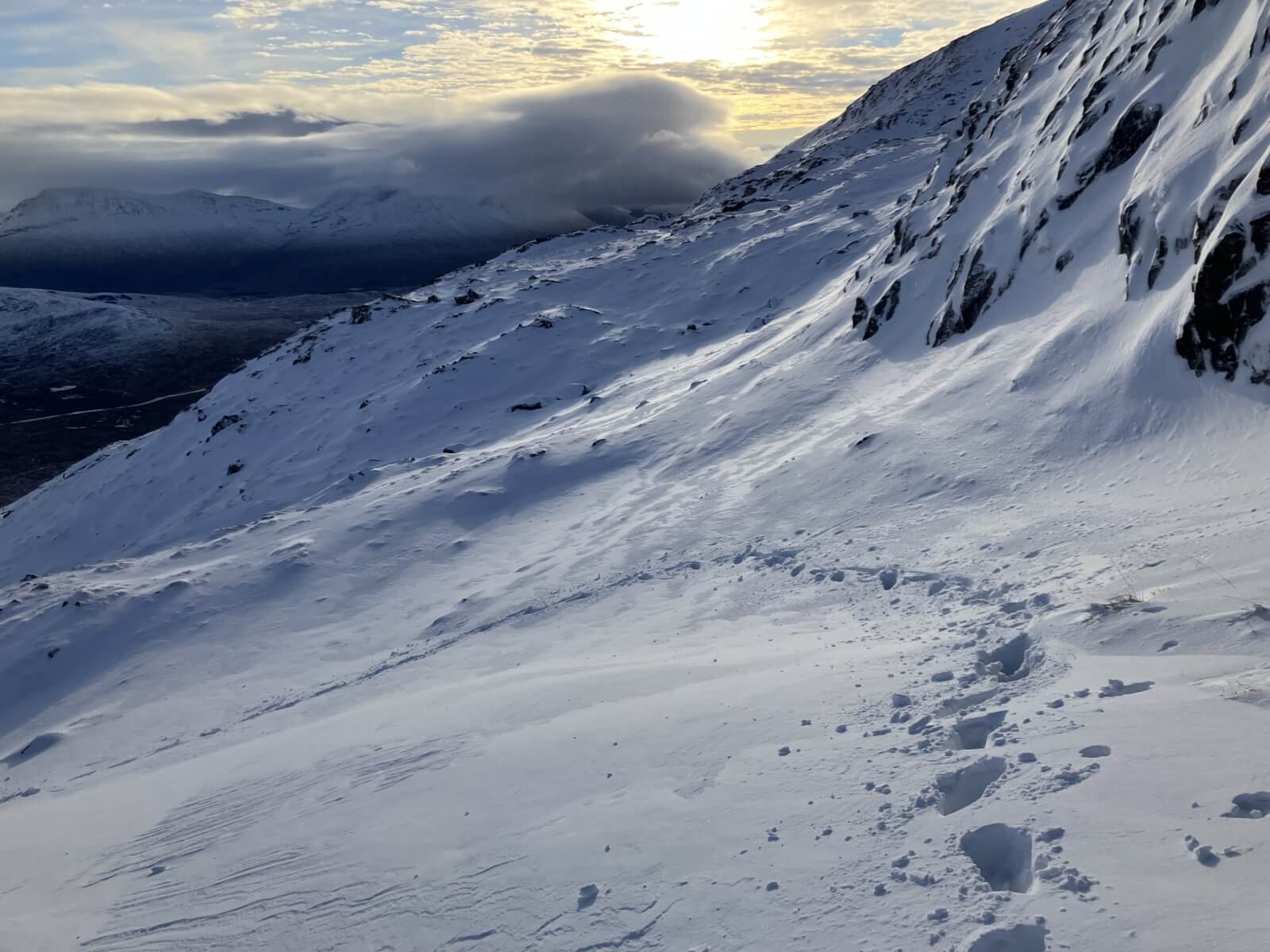
Just 930 metres on Easterly aspects of Meall a’ Bhuiridh.
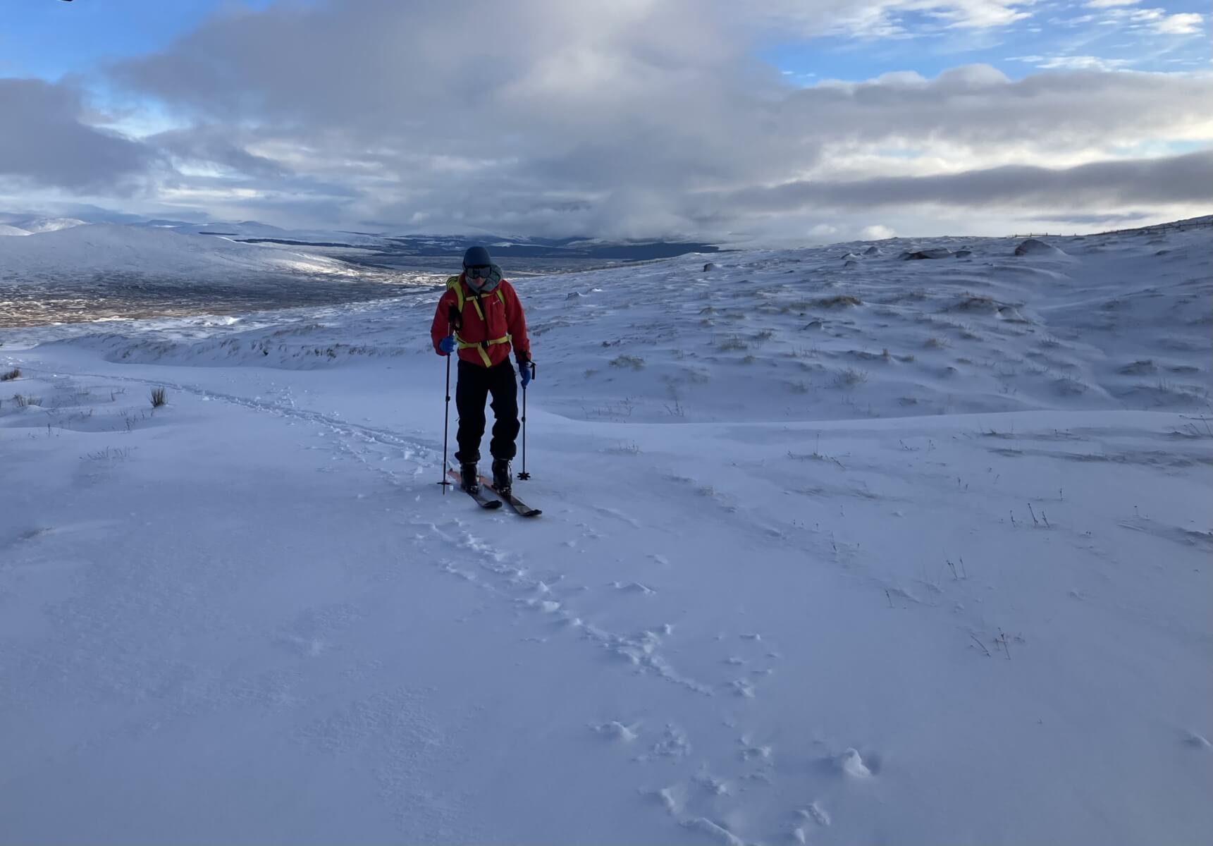
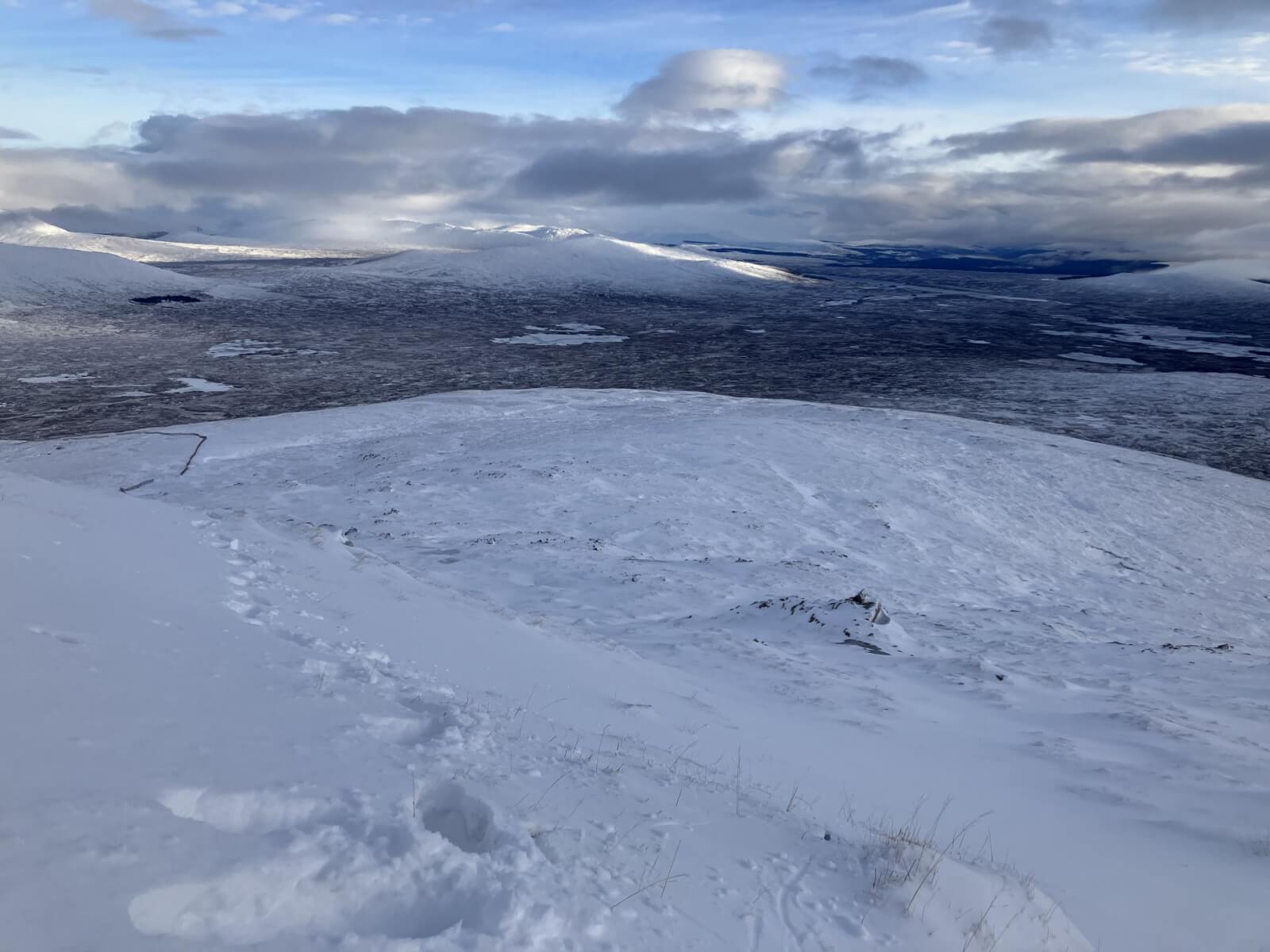
A ski tourer linking the best snow areas.
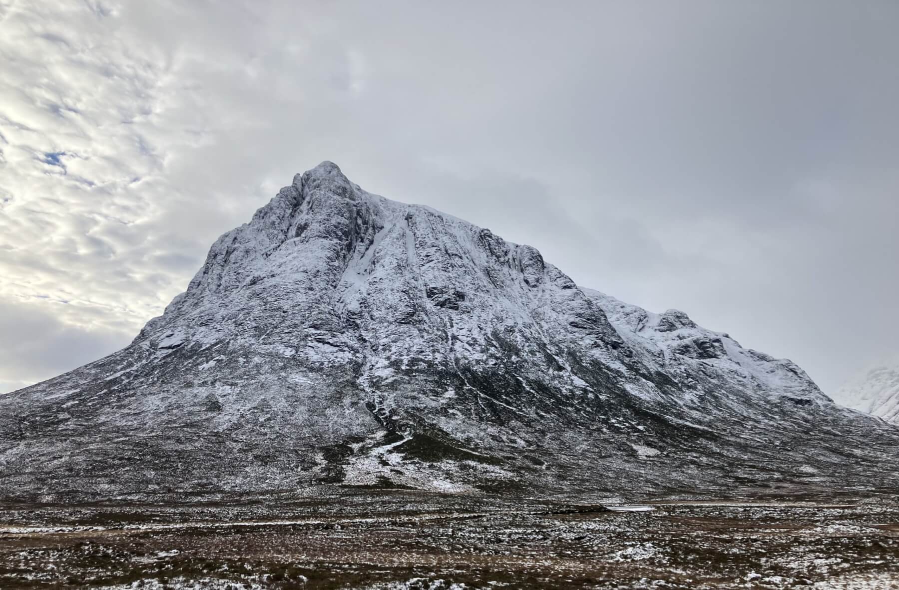
Stob Dearg – Buachaille Etive Mor after midday in clearer conditions.
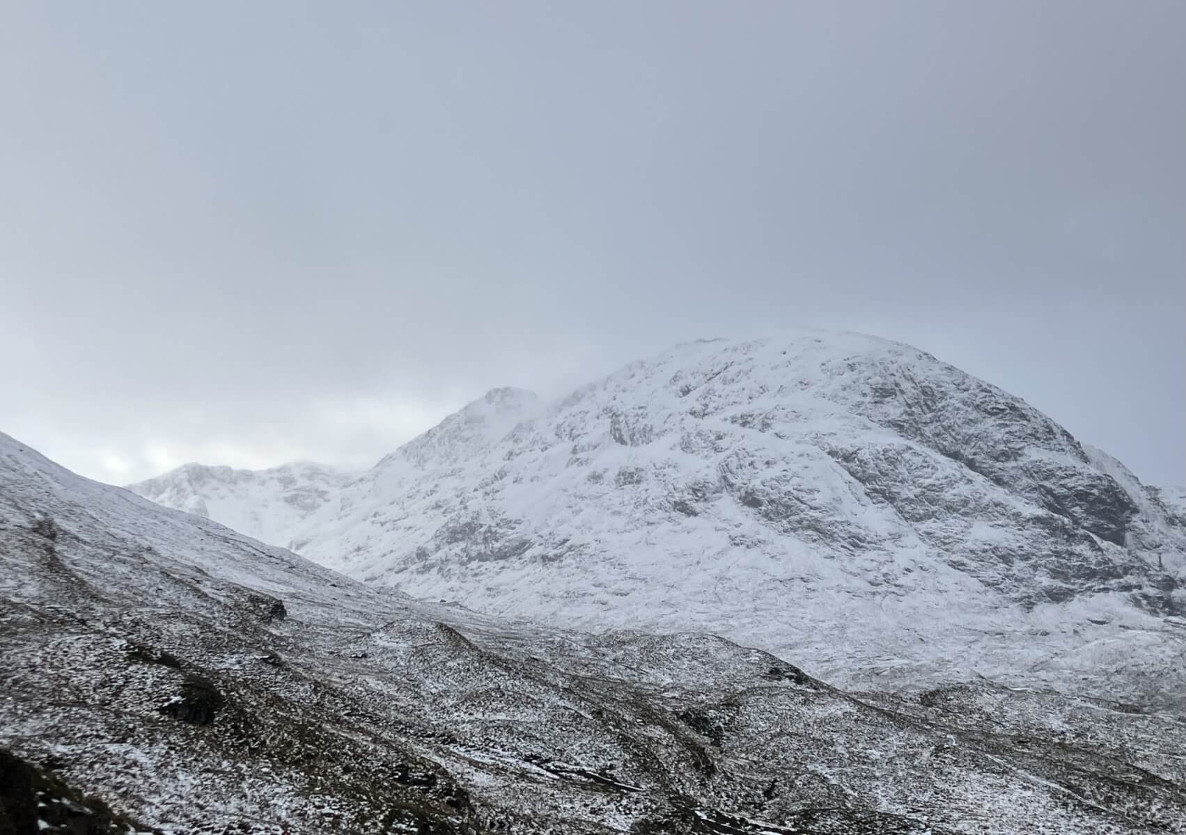
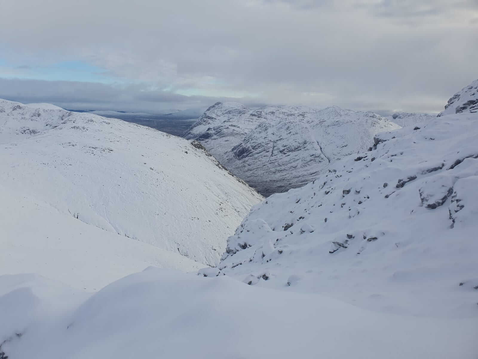
Lairig Eilde and South-Easterly aspect of Beinn Fhada.
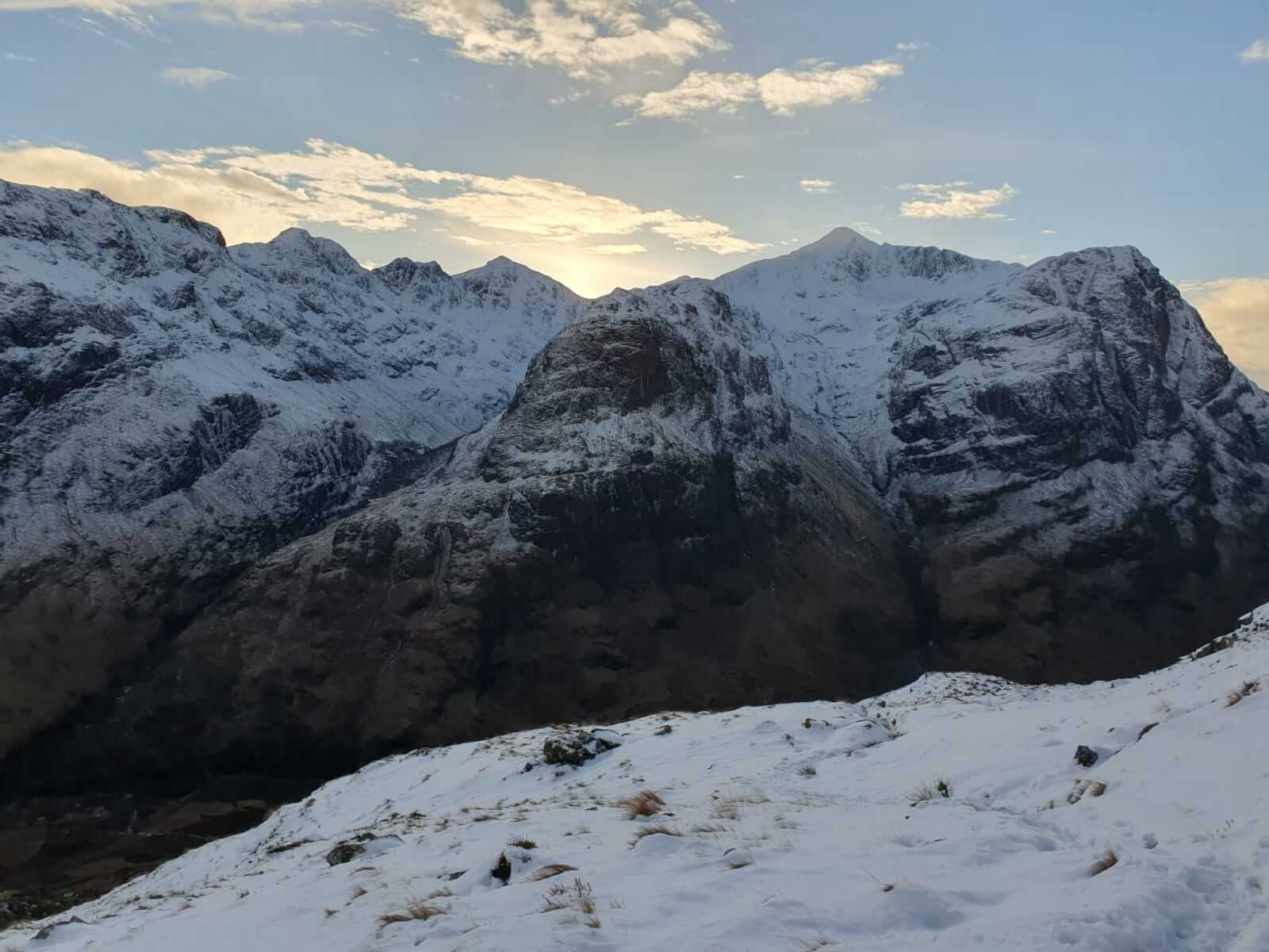
The 3 Sisters of Glen Coe.
Looking from Am Bodach towards Buachaille Etive Mor courtesy of Blair Fyffe – thanks.
Looking across to Stob Coire Sgreamhach and Stob Coire nan Lochan with its various corries. Thanks to Blair again.
Comments on this post
Got something to say? Leave a comment