Thaw conditions
21st February 2026
The snowpack is continuing to thaw and consolidate in the milder conditions. After a drier spell overnight giving some snowpack consolidation, rain set in from around midday accelerating the thaw once again. The diminished snowpack is particularly noticeable at lower elevations with a good cover a wet snow remaining on most aspects above around 700 metres.
Thaw conditions are due to continue at most elevations on Sunday with the snow surface beginning to refreeze above around 1000 metres during the day as the freezing level falls. Given the relatively high freezing level any new snow deposits are expected to be reasonably well bonded, there is some variability in the forecast amounts ,but they are not expected to be extensive. Strong South-Westerly winds are forecast to continue for the next few days.
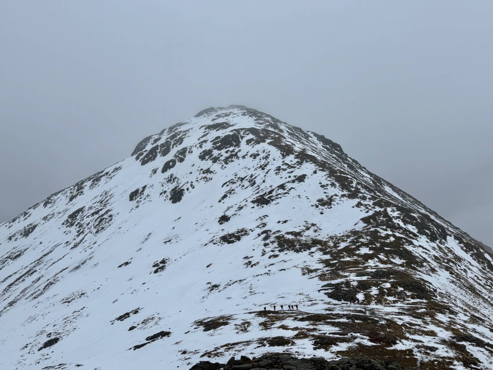
Stob Coire Raineach, Buachaille Etive Beag
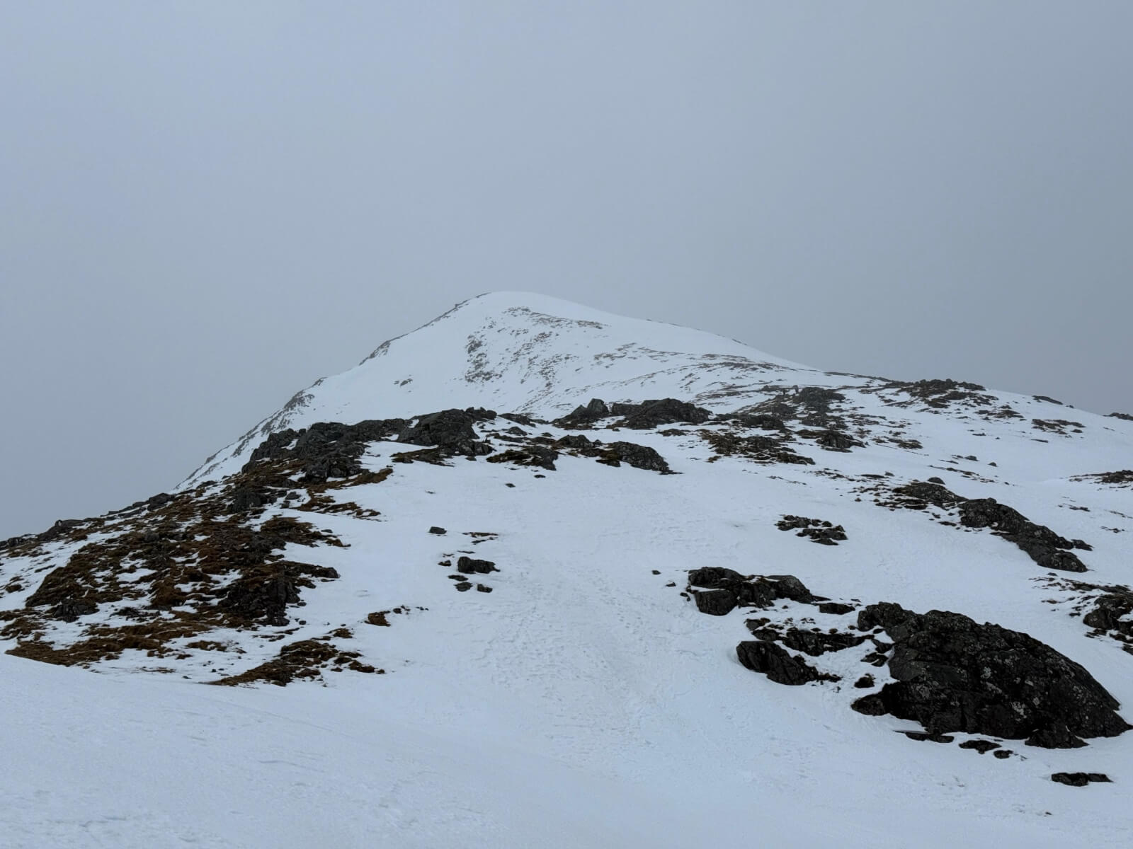
Looking towards the spot height at 902m on Stob Dubh, Buachaille Etive Beag.
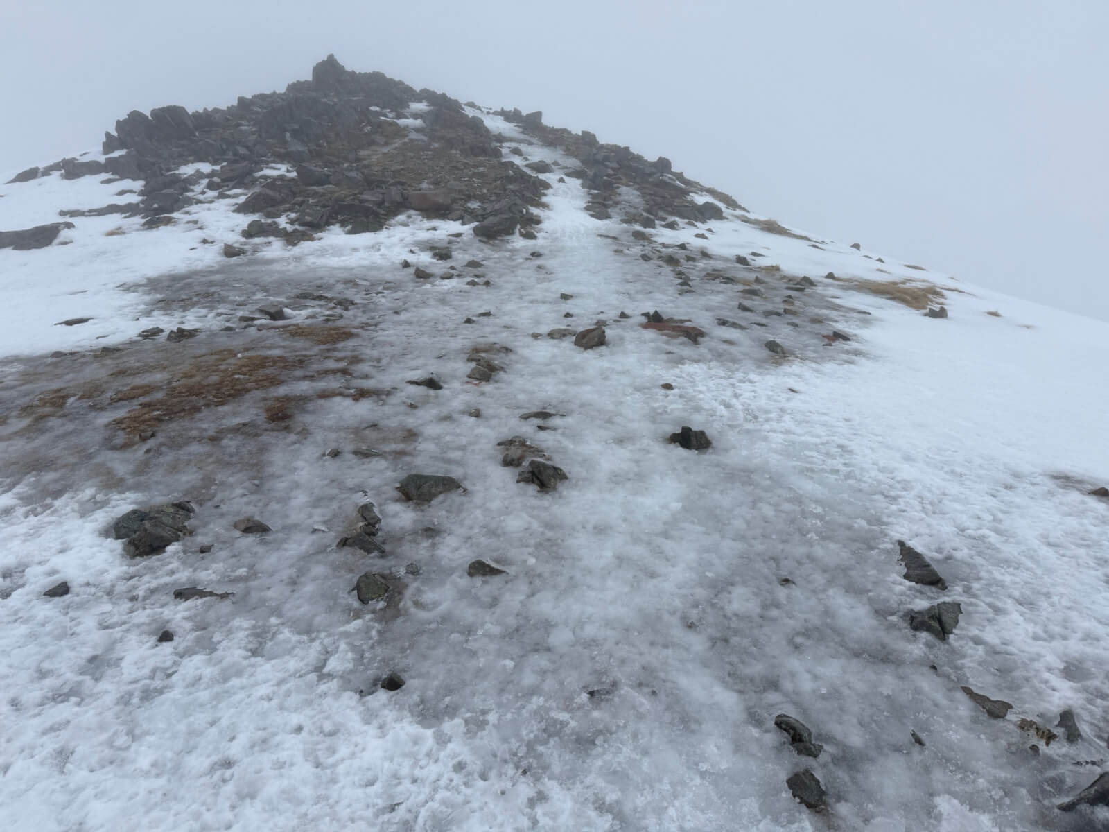
Despite the thaw conditions there are plenty patches of ice around, particularly on paths.
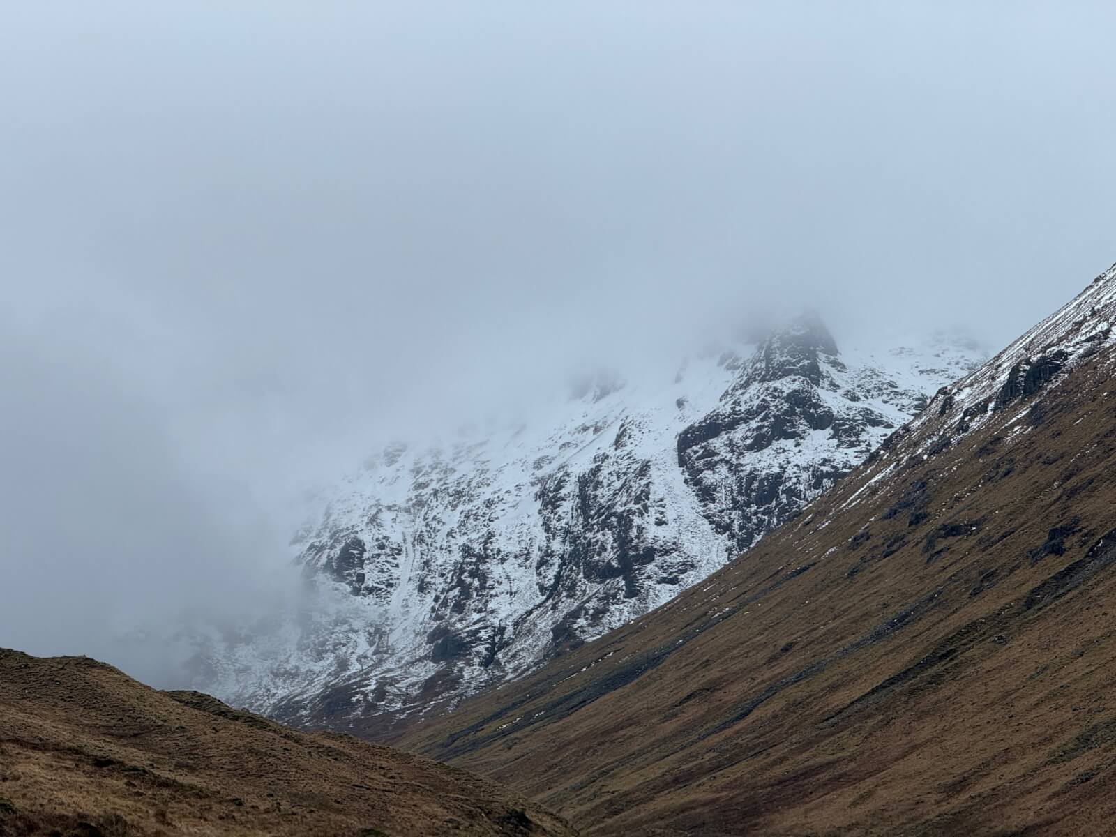
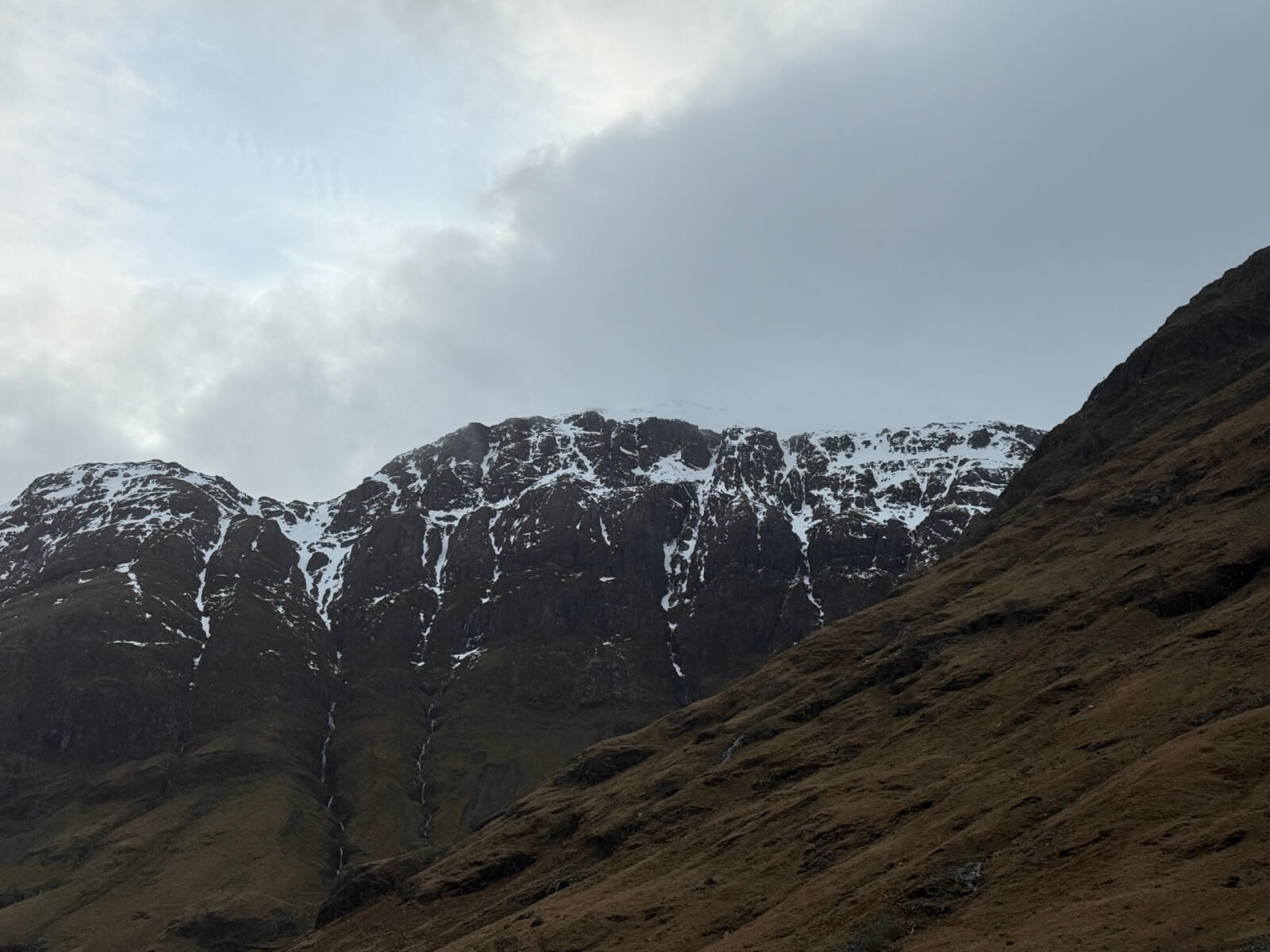
Looking up the Larig Elide towards the summit ridge of Stob Coire Sgreamhach
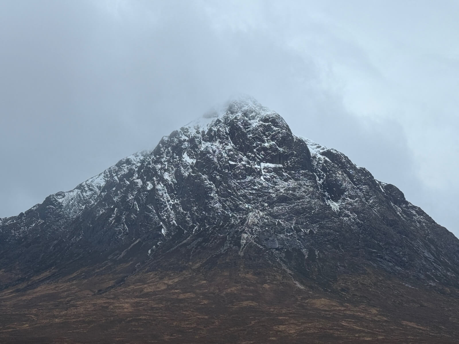
Stob Dearg, Buachaille Etive Mor
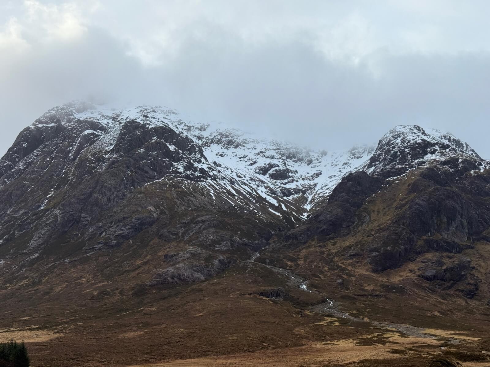
Coire na Tulaich, Buachaille Etive Mor
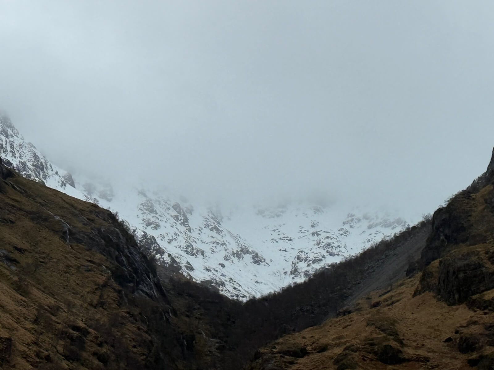
Looking towards the head of Coire Gabhail (The Hidden Valley)
The west face of Aonach Dubh.
Comments on this post
Got something to say? Leave a comment