Mild, Wet and Windy.
1st March 2026
Overnight, the freezing level was around 700 metres, snow showers fell mainly above 650 metres on strengthening Southerly winds. These conditions continued to affect the area in the morning but during the course of the morning the freezing level was rising to be above the summit by midday. The snow showers turned to rain at all levels and the winds became much stronger.
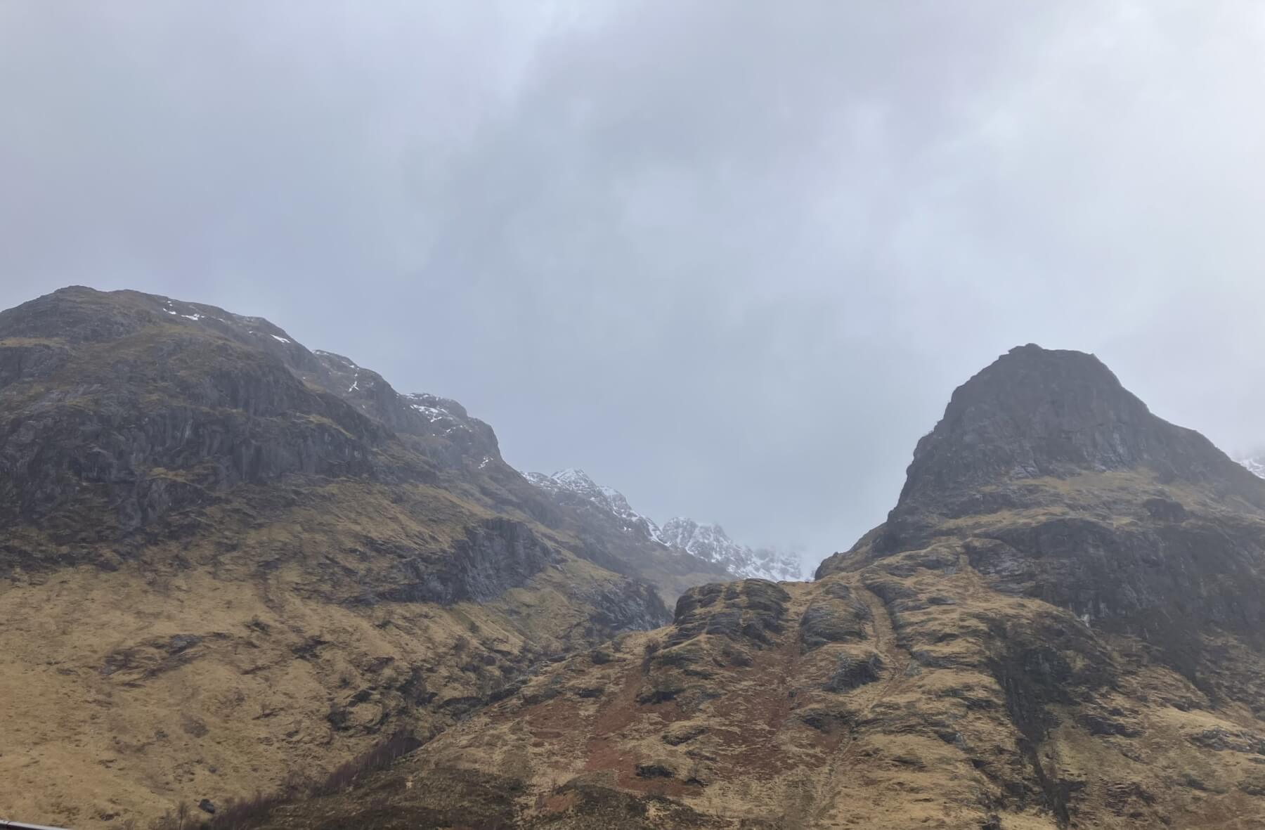
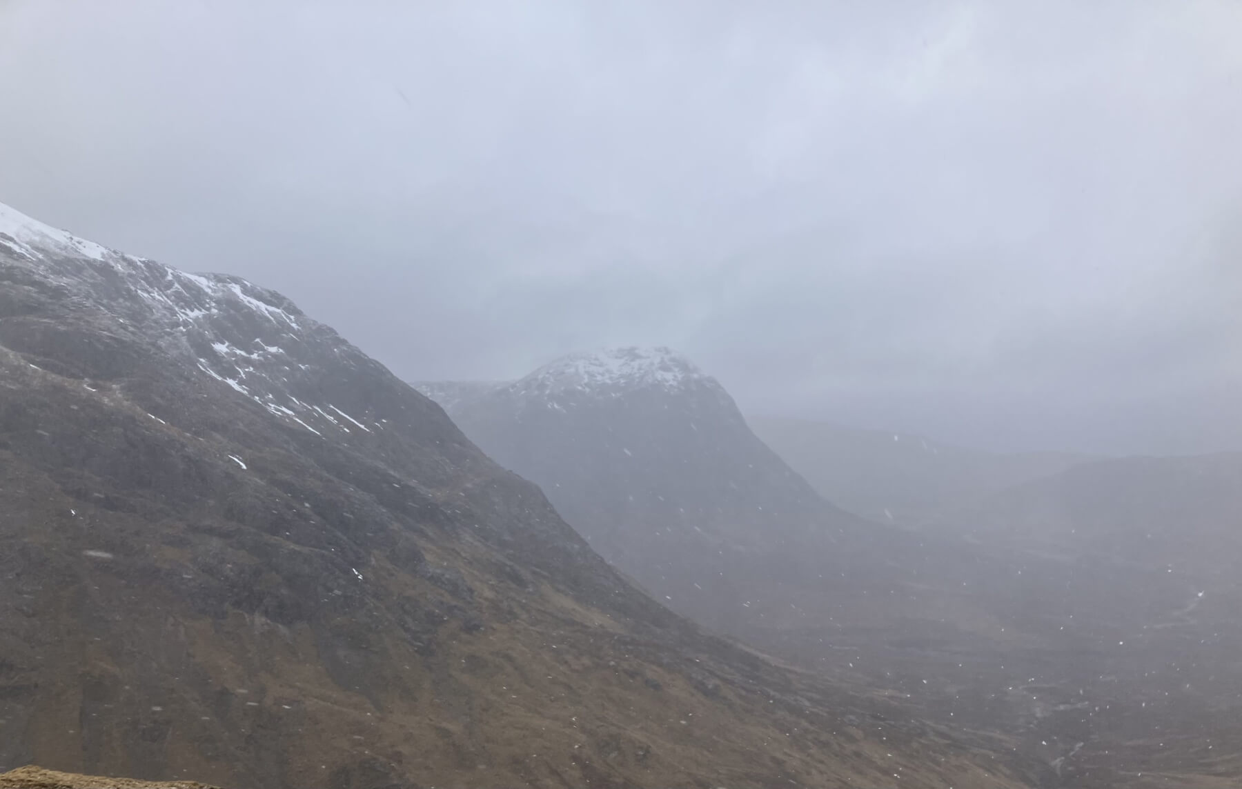
Being Fhada on the left with the snow clad Stob Coire Sgreamhach in the distance and Gearr Aonach on the right these all looked abit gloomy this morning.
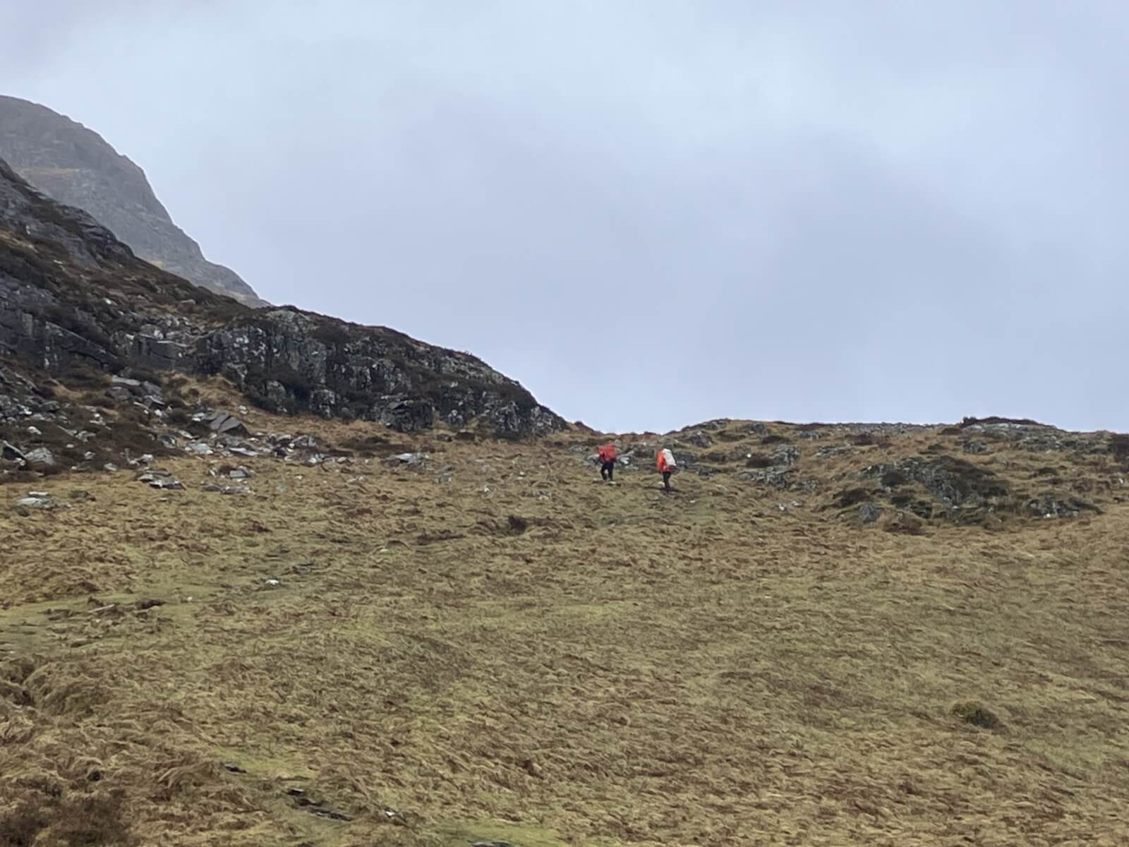
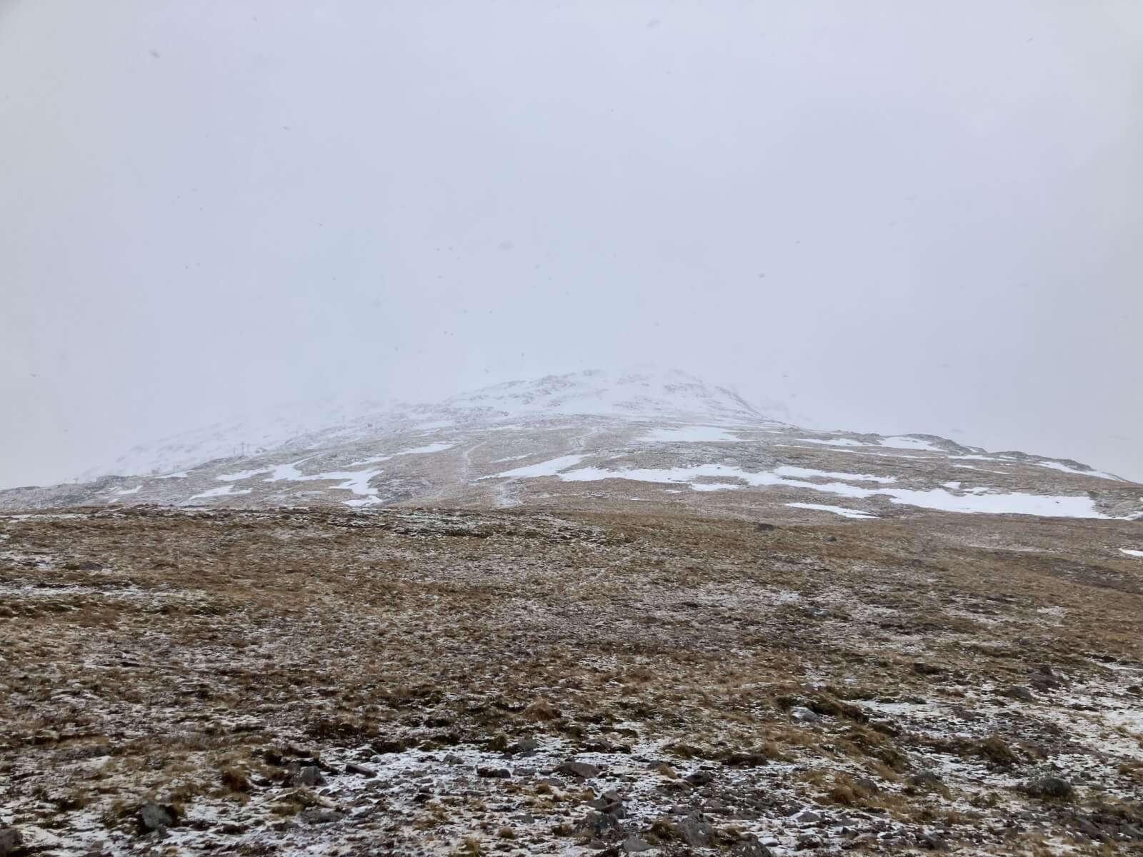
Folk starting up Am Bodach and maybe on to Aonach Eagach ridge.
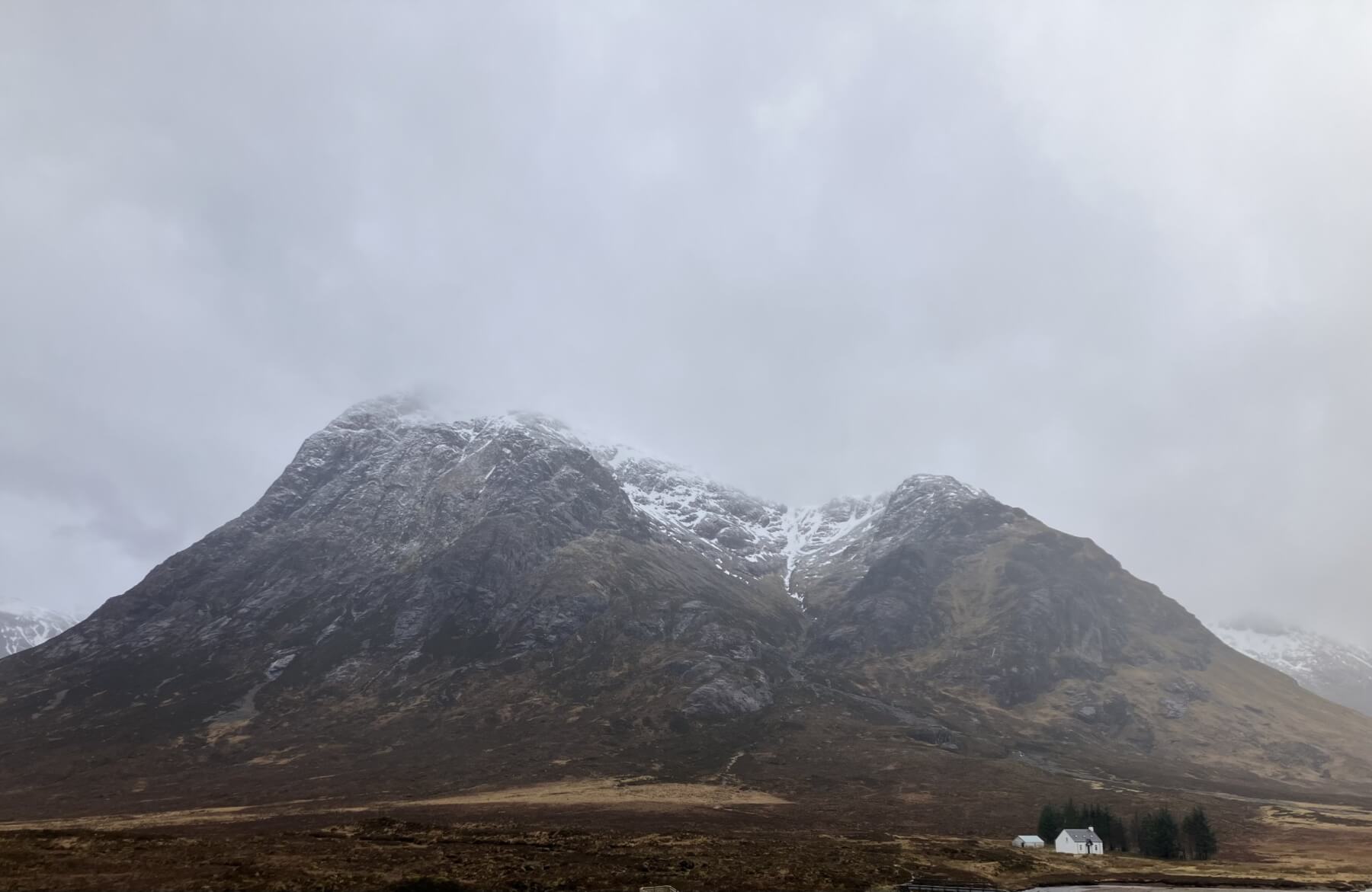
Stob Dearg ~ Buachaille Etive Mor with a dusting of new snow.
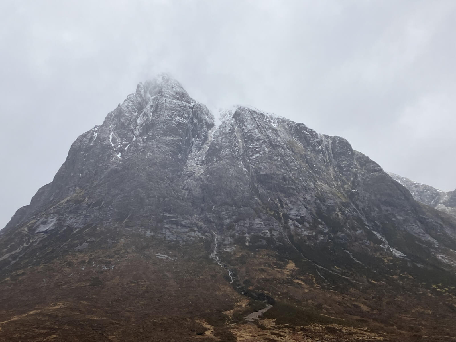
Northerly aspect of Stob Dearg.
Looking across to the shoulder off Sron na Creise and Stob Dearg in the distance.

From Meall a’ Bhuiridh looking at Creise and Stob a’ Ghlais Choire.
North ridge on Meall a’ Bhuiridh.
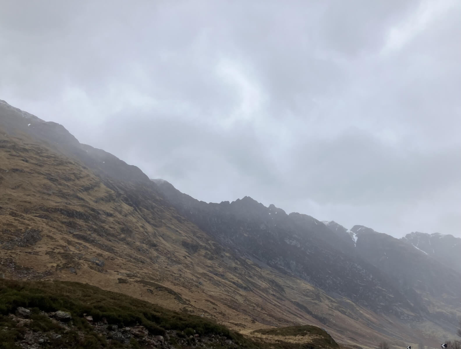
The Aonach Eagach ridge.
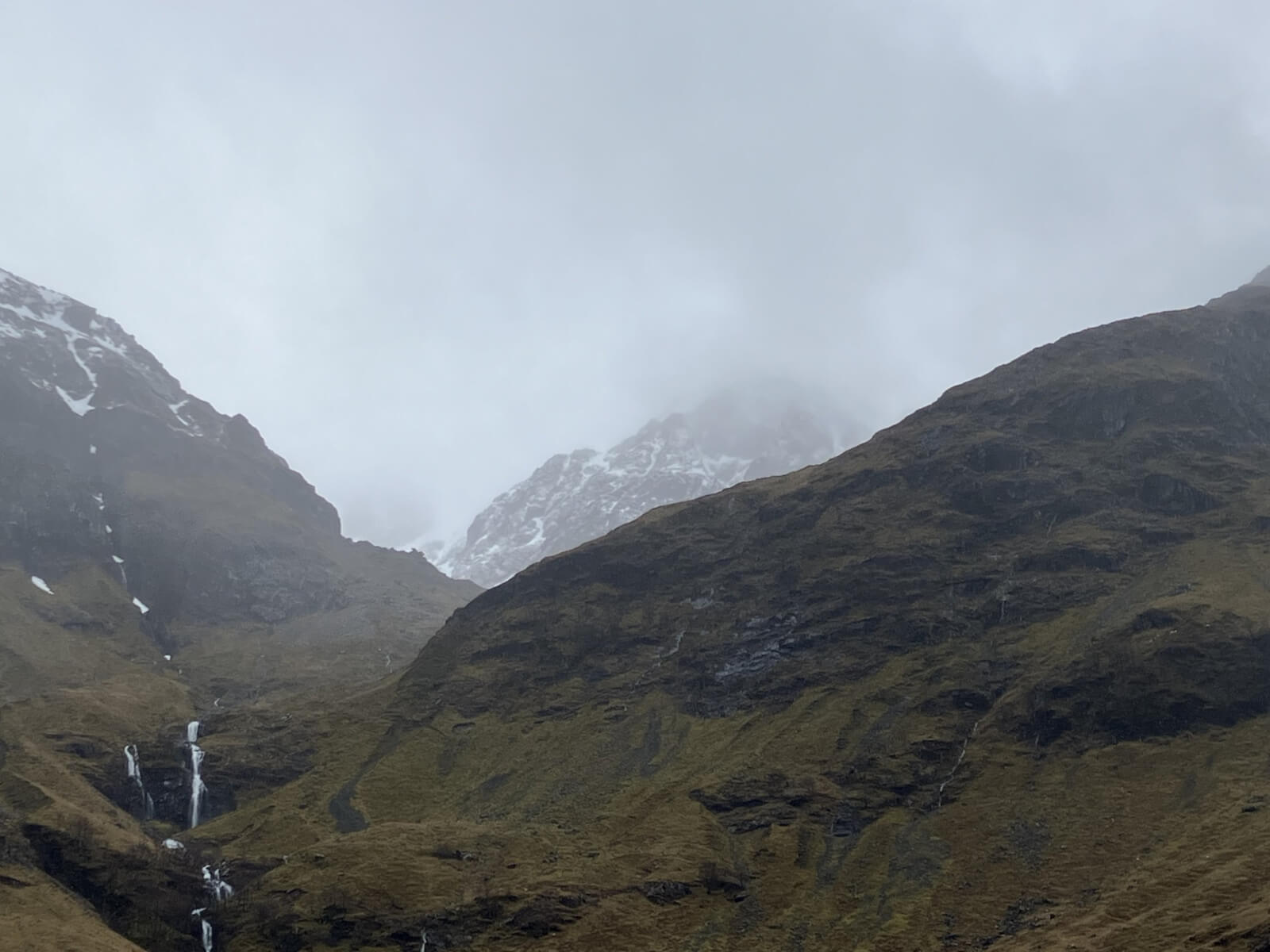
The burns are getting fuller with snow melt, looking into Stob Coire nam Beith.
Comments on this post
Got something to say? Leave a comment