Mild,Wet and Windy…
17th March 2026
Last night and through today the freezing level has been well above the summits the midday summit temperature was plus 2.2 degrees Celsius with plus 13 degrees Celsius at sea level, last night even warmer temperatures affected the area. Rain at all elevations today accompanied by very strong Southerly winds have added to the rapid thaw in the area. Wet snow instabilities were present on all steep slopes especially where deep accumulations of windslab had previously existed. Sheltered gullies and steep slopes with a North-West through North to South-Easterly aspects above 700 metres where mostly affected, Cornices are still prone to collapse. Tomorrow sees the start of a consolidating trend.
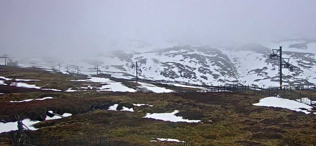
Meall a’ Bhuiridh.
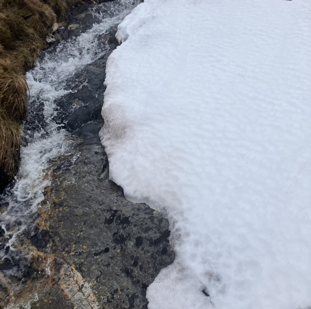
The thawing snowpack as mild conditions affected the area.

Diminishing snow cover at lower elevations.
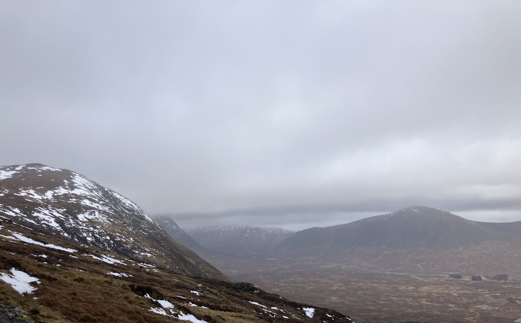
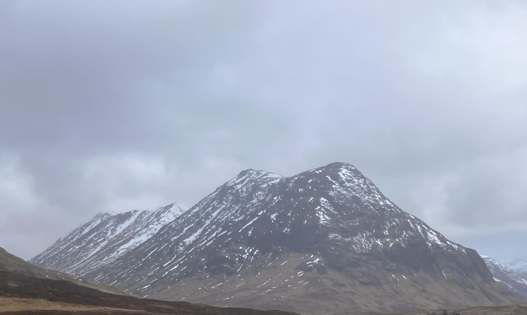
Creag Dhubh 749 metres on the left with Stob Dearg just visible on it right Beinn a’ Chrulaiste on the right.
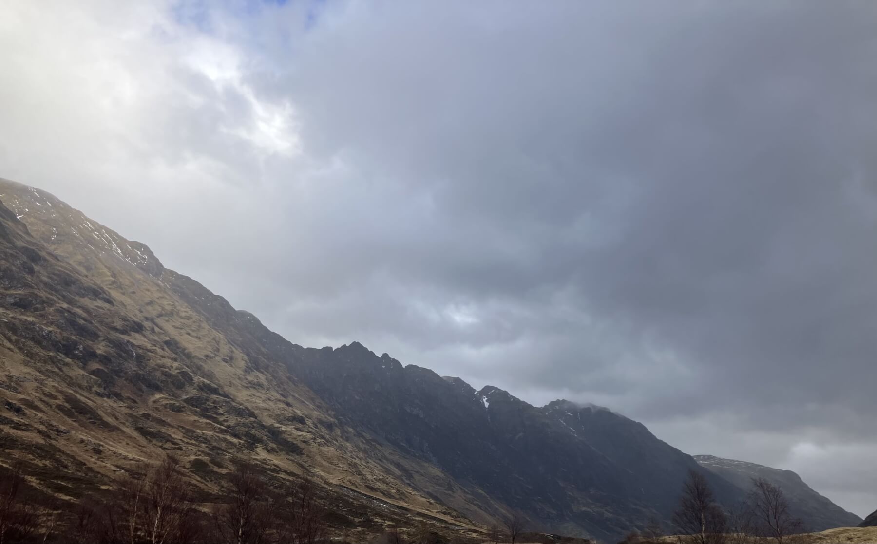
The southerly aspect of the Aonach Eagach ridge.

Gearr Aonach on the left, Stob Coire nan Lochan in the clouds with Aonach Dubh on the right.
Buachaille Etive Beag.
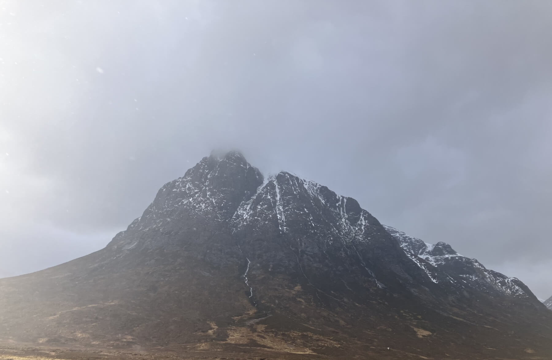
Northerly slopes of Stob Dearg.
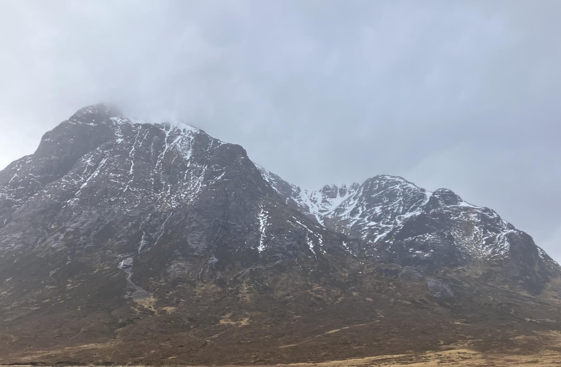
Stob Deag and Coire na Tulaich – Buachaille Etive Mor.
Comments on this post
Got something to say? Leave a comment