Sunshine and Snow Showers
14th March 2026
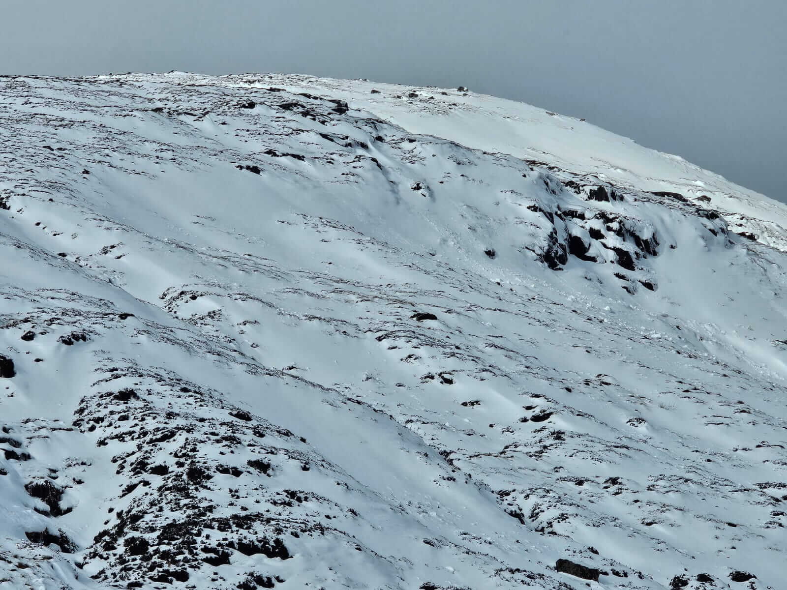
Starting bright this morning with snow showers through the day, some being heavy and prolonged. The mountains are looking very wintery again though much of the lower snow is superficial, lying on bare ground. Above 850 metres accumulations are yet to be extensive but are gaining depth in some steeper wind sheltered locations with poorly bonded windslab easily releasing. In contrast, scoured areas are hard and icy with good stability, though have potential for serious and consequential runouts.
Windslab will continue to form overnight with snow showers and strong to gale force South-Westerly winds. The freezing level rises to around the summits around dawn which generally would create a period of increased instability, though given the brief nature of this thawing and the depth of unstable windslab this increased instability is thought to be minimal, though fragile cornices are expected to be prone to collapse. Further windslab then begins to form through the day.
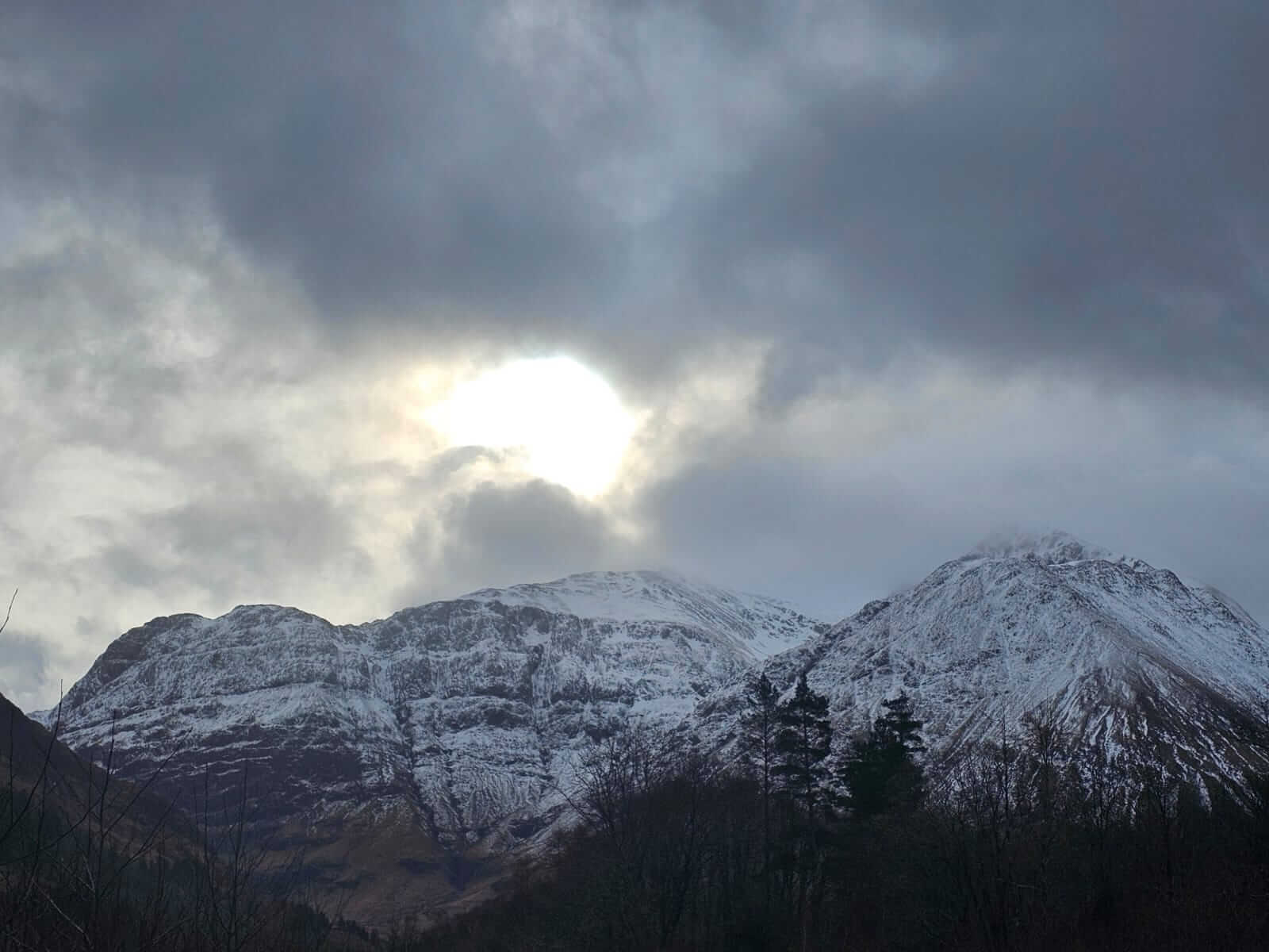
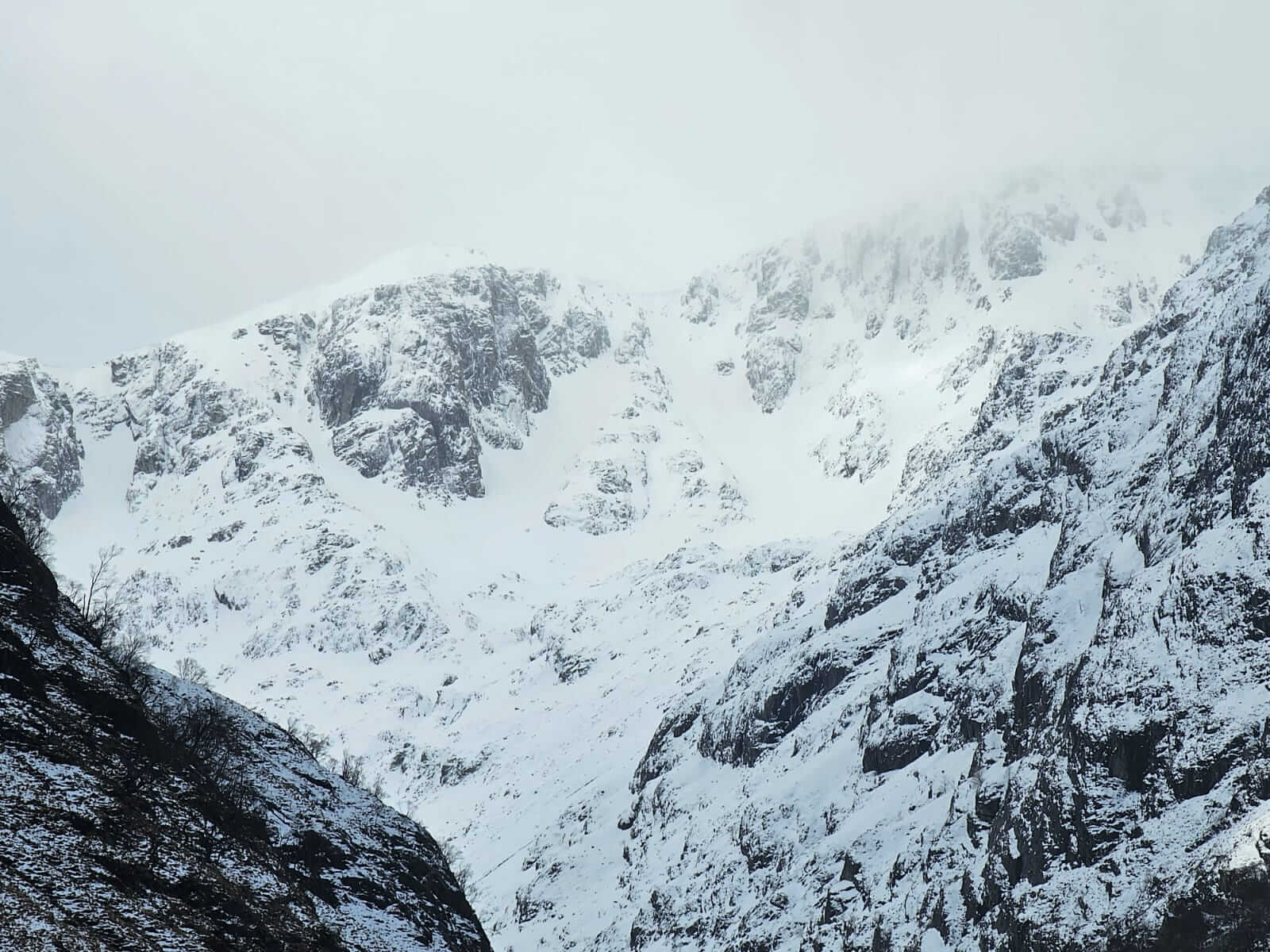
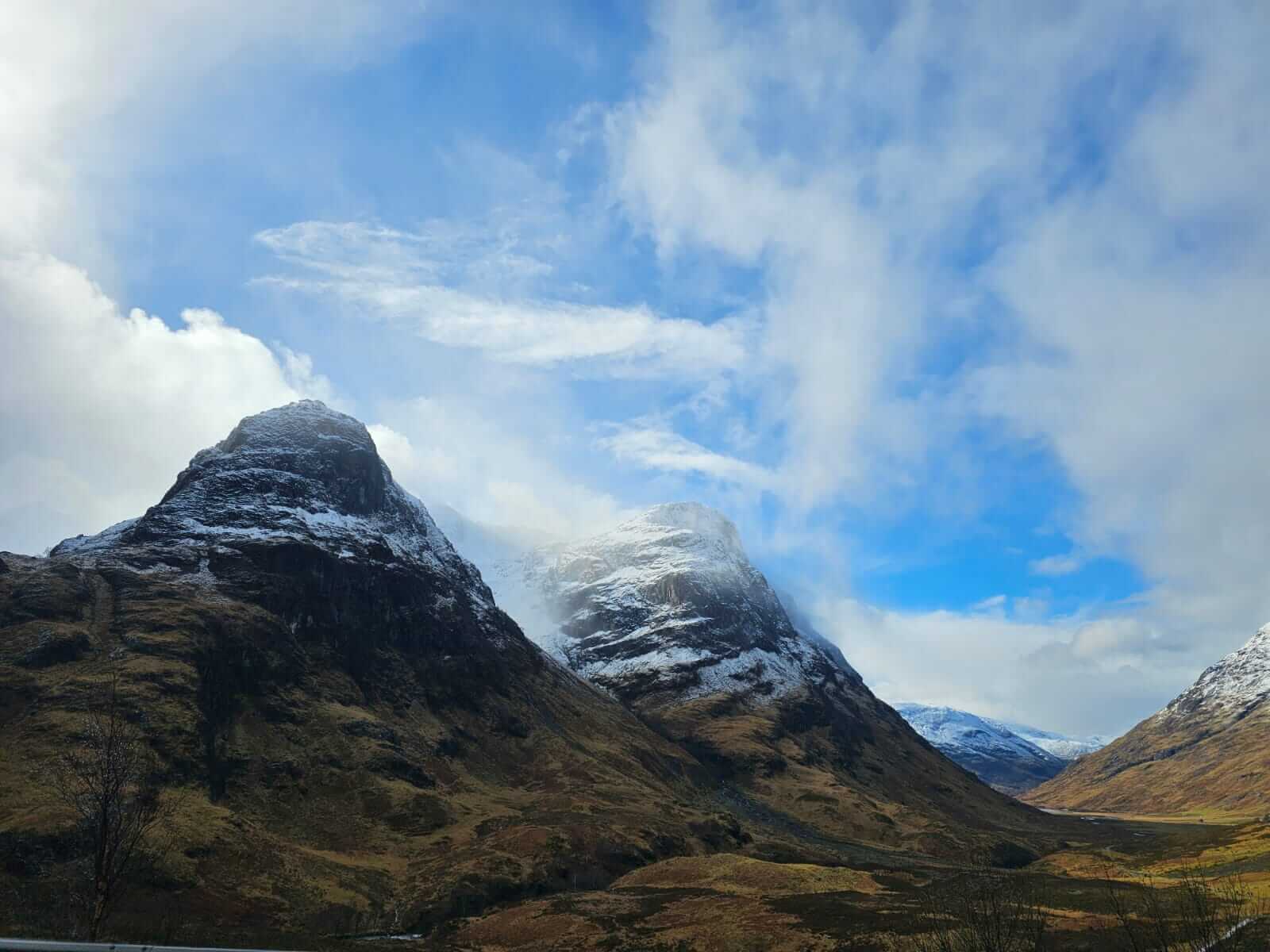
A bright start to the morning with summit views. Stob Coire nan Lochan (left) Stob Coire nam Beith (right).
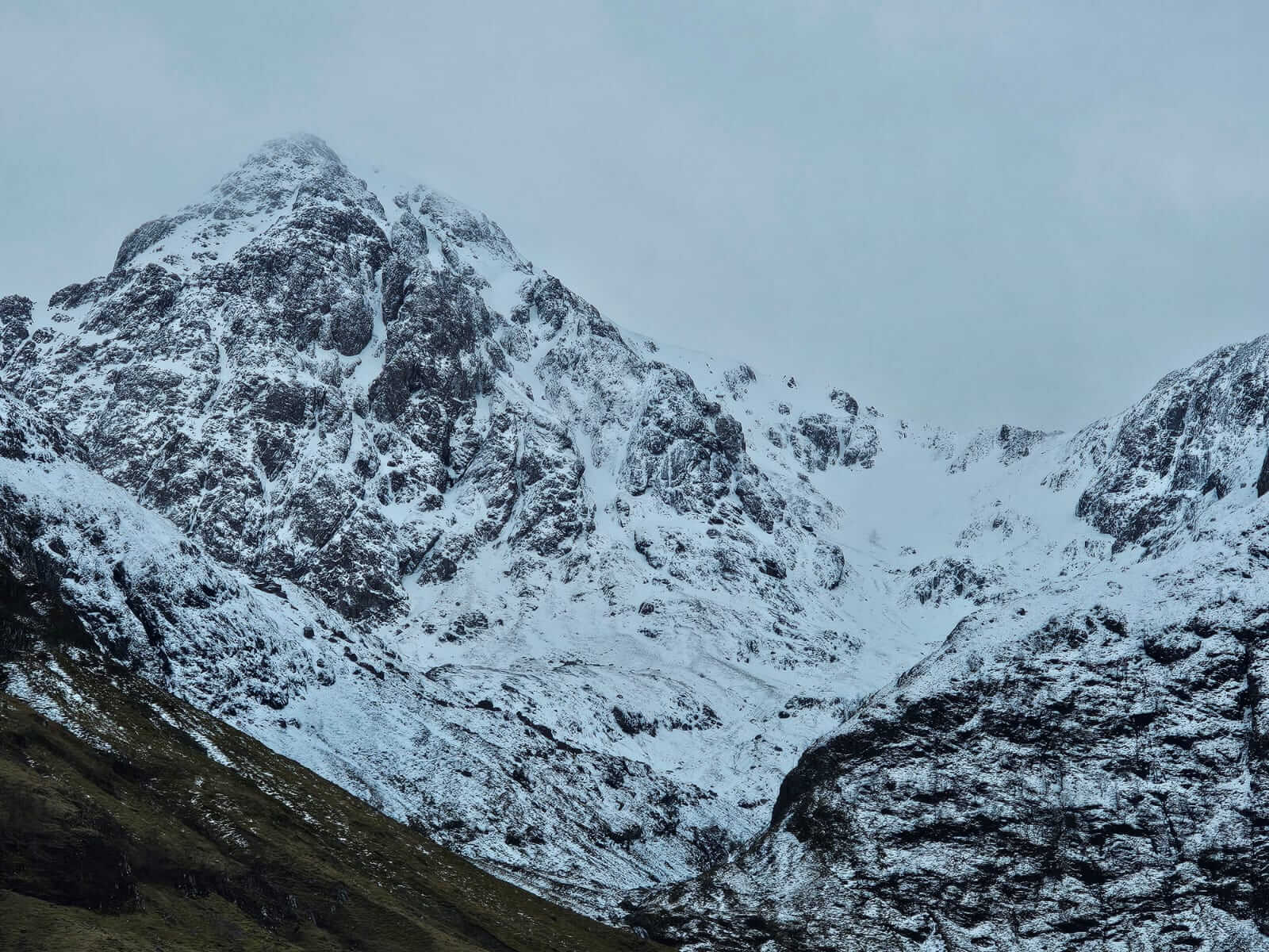
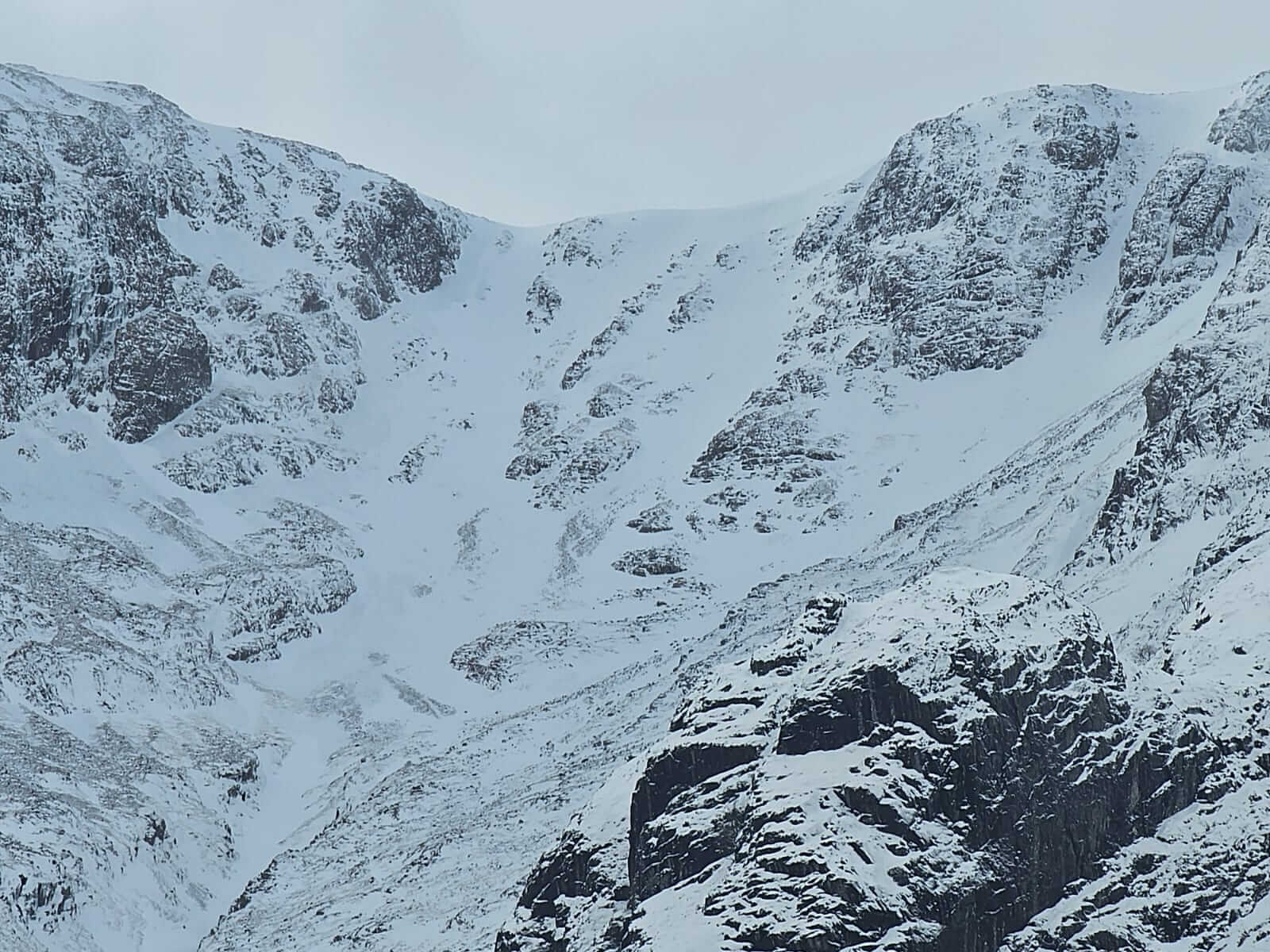
Looking into Coire nam Beitheach.
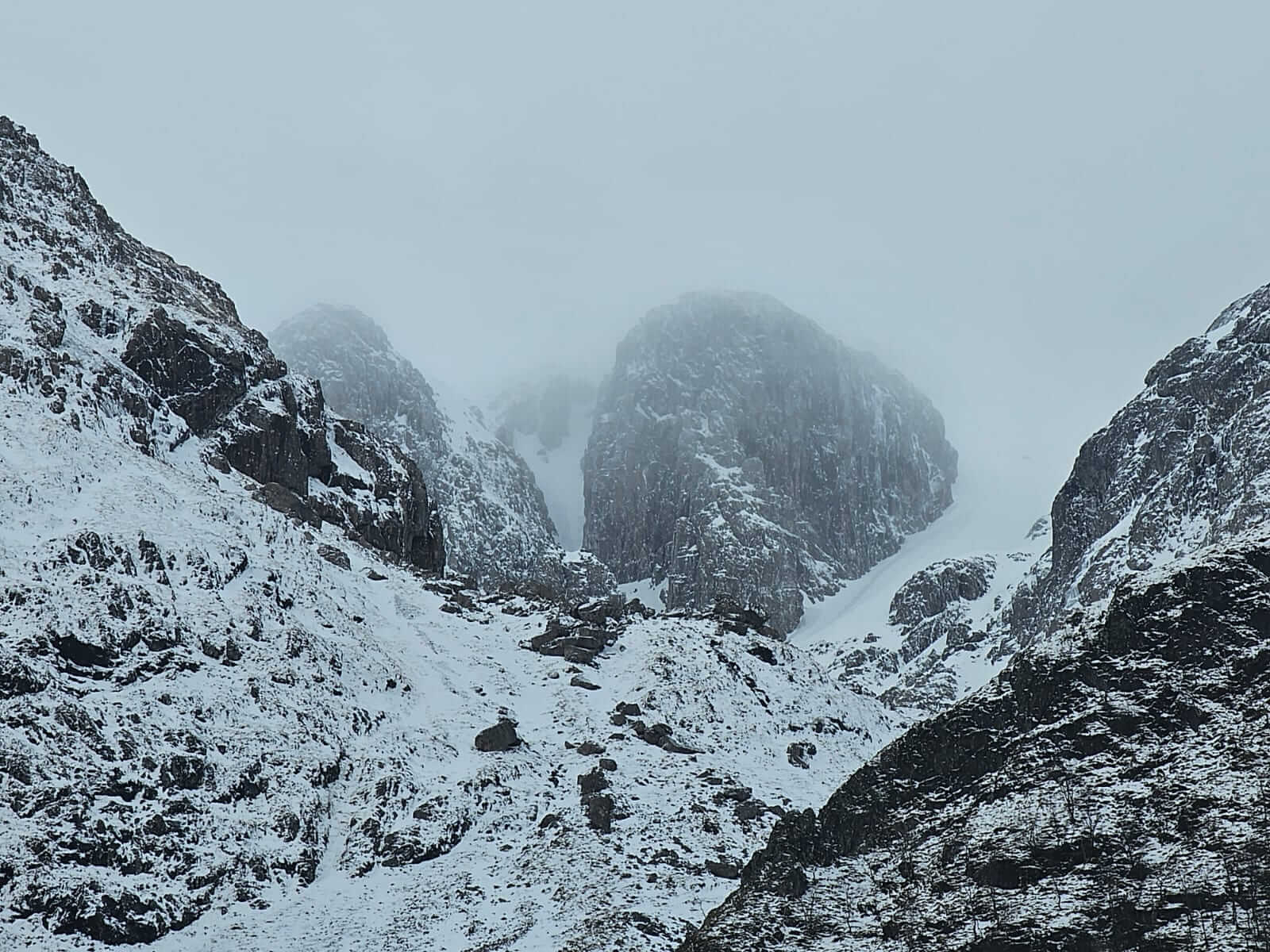
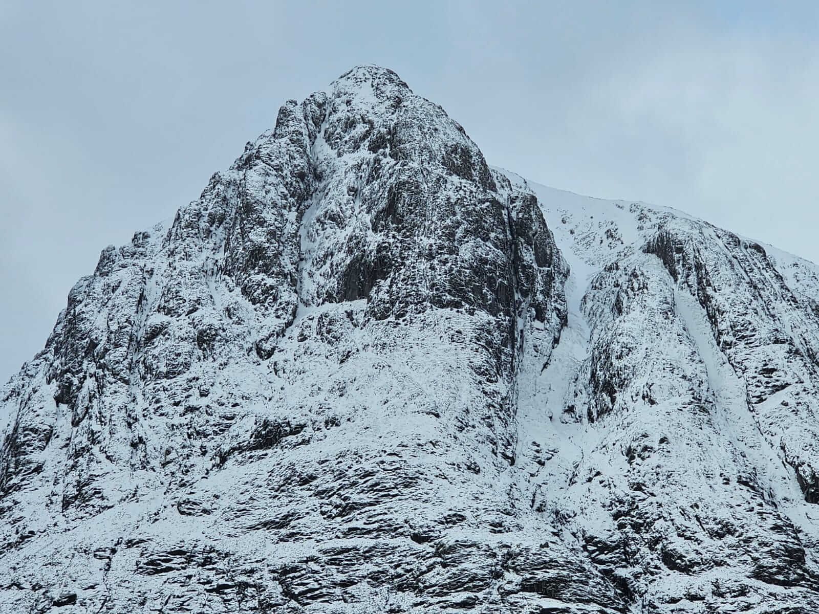
Collie’s Pinnacle and Church Door Buttress, Bidean nam Bian.
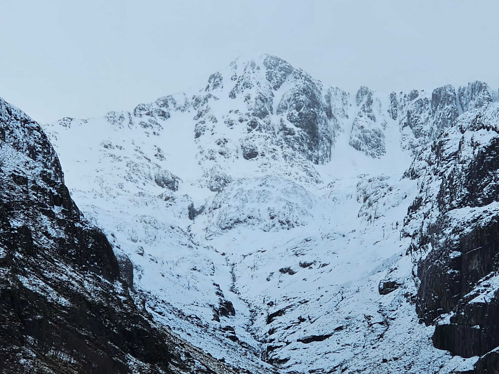
Cornices have formed in some locations around Coire nan Lochan and other similar aspects, mainly North to East.
Lost Valley Buttresses.
Some distinction can be seen between the old icy wind scoured snowpack and the fresh deposits in Coire na Tulaich.
Stob Dearg, Buachaille Etive Mor.
Looking across to Meall a Bhuiridh between snow showers, North to West aspects.
Snowballing from thawing releases off of rocky ground, around 700 metres, North aspects.
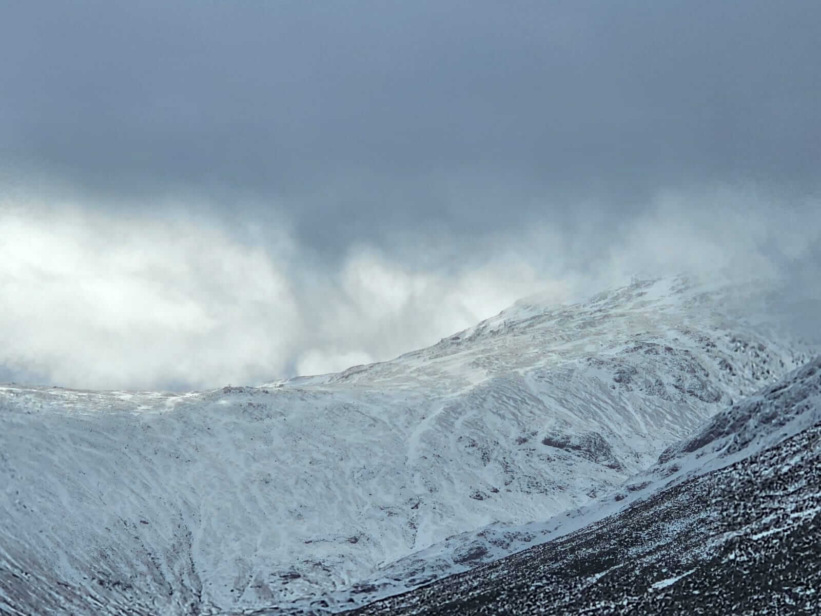
A view back down the Glen between snow showers around the middle of the day.
Comments on this post
Got something to say? Leave a comment