A bright morning more unsettled in the afternoon.
3rd April 2026
Last night the freezing level was above the summits with rain at all levels. In the early hours of the morning the freezing level fell and rain turn to snow showers mainly above 700 metres these fell on South-Westerly winds. This morning was general quite bright, dry with some summer spells. Winds were moderate South-Westerly. The freezing level was around 900 metres. Precipitation started up again around midday falling as snow mostly above 900 metres.
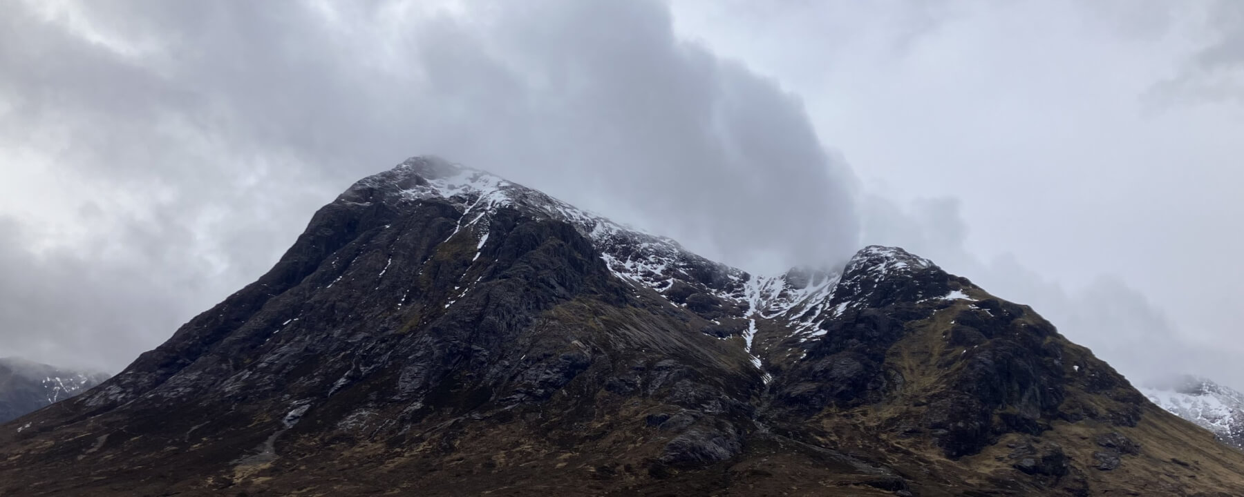
Stob Dearg this morning before some new snow arrived in the afternoon – Buachaille Etive Mor.
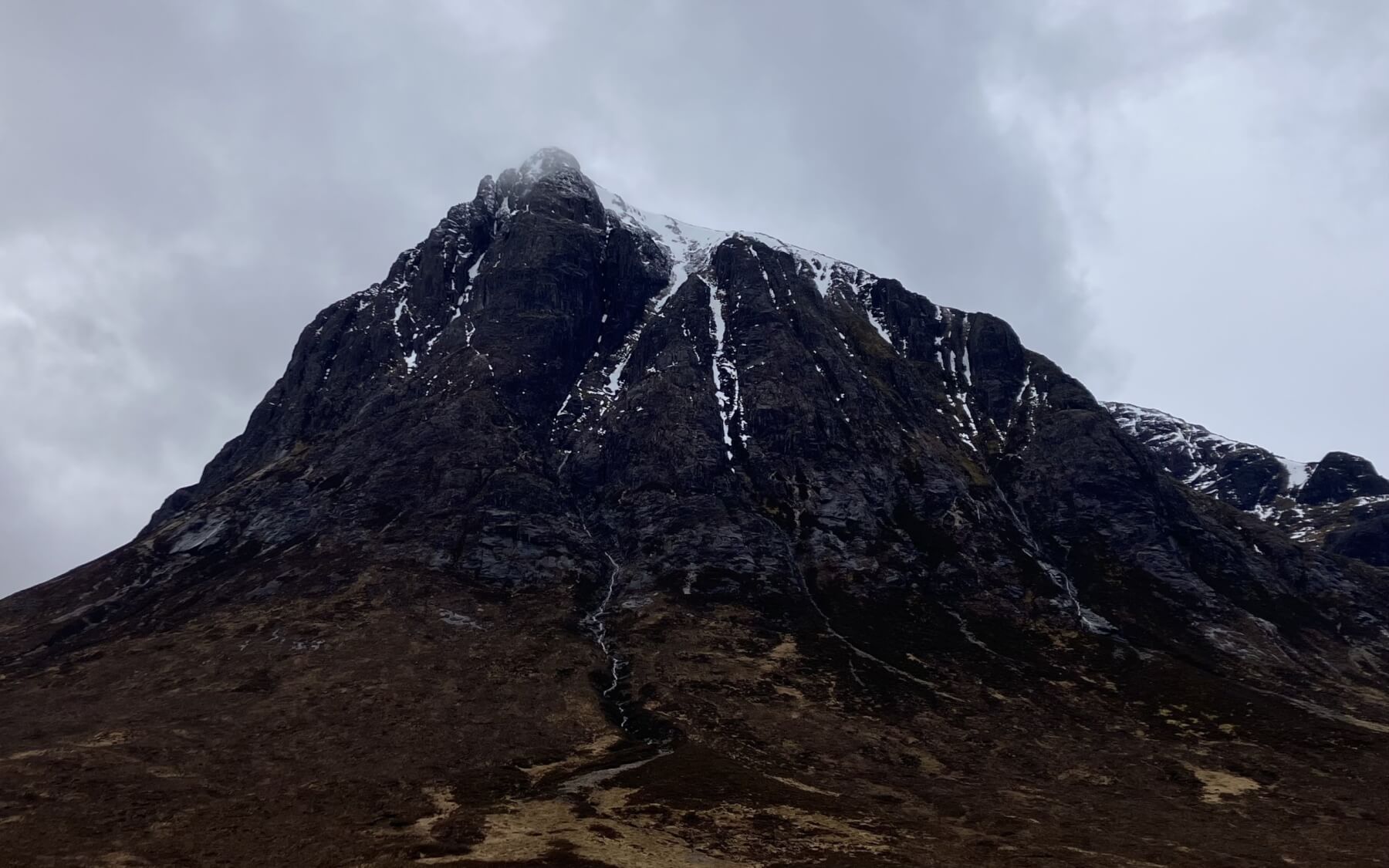
Northerly aspect of Stob Dearg.
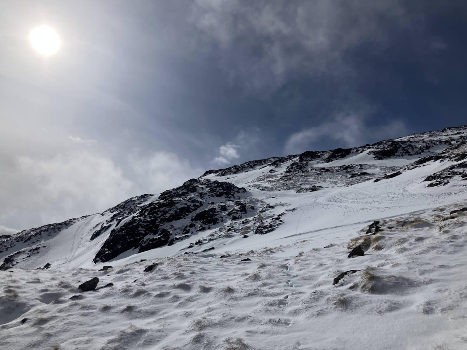
North-Easterly aspects taken from 850 metres on Meall a’ Bhuiridh.
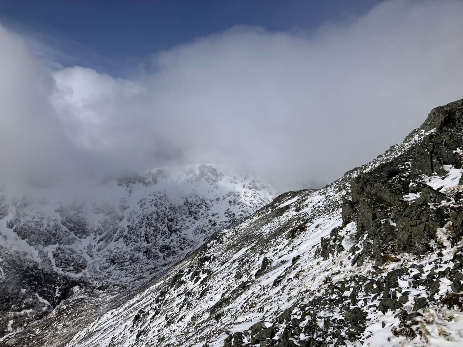
Southerly slopes on the right of Meall a’ Bhuiridh taken at 1050 metres looking across to Clach Leathad which shows some new cornice development.
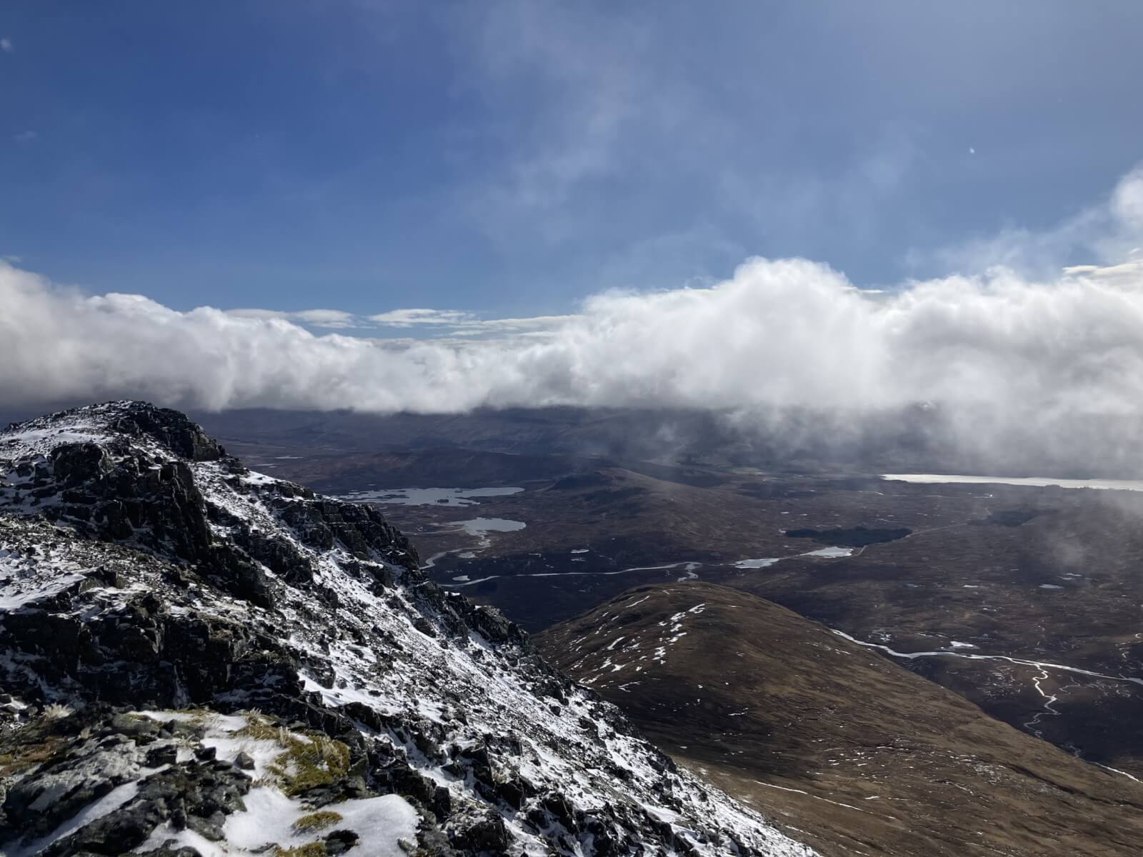
Southerly slopes of Meall a’ Bhuiridh in the foreground looking Southwards towards the Perthshire hills in the clouds..
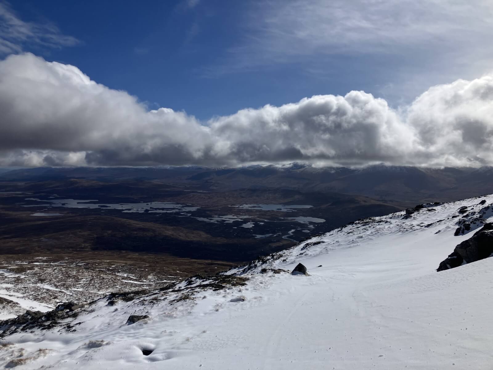
Looking across the Rannoch Moor with snow cover in the foreground at around 850 metres.
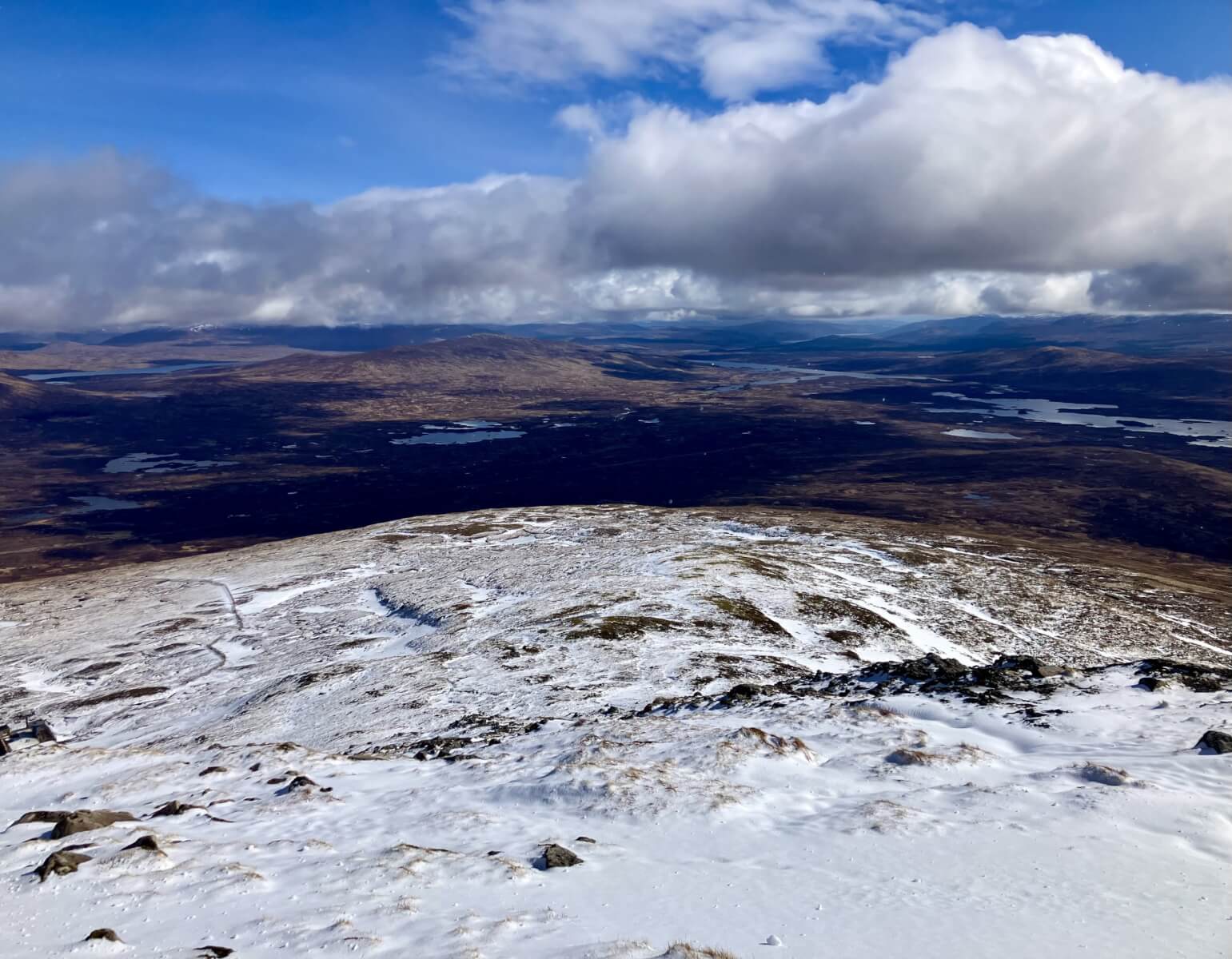
Lower slopes on Meall a’ Bhuiridh snow cover speads down to around 650 metres Rannoch Moor beyond
Comments on this post
Got something to say? Leave a comment


