Change to Snow
31st December 2025
Conditions today had changed as indicated in the forecast, no overnight frost (clear wind screen), cloudy with misty summits and drizzle. And so it remained through the day and up to the summits. Only the slightest trace of falling snow in the air and on close inspection on the ground, above the 950 metre freezing level. The turf remained hard and generally frozen under foot, at lower elevations the ground frost had already or was slowly thawing and the water ice dripping, beginning to trickle. Less so towards the summits with rime forming on rocks and vegetation indicating colder conditions remaining. The temperature near the summit of Meall a Bhuiridh minus 0.7 Celsius. The light to moderate winds feeling cool from the North-West.
Overnight and through the day tomorrow frequent snow showers are expected, initially above 800 metres then from dawn above 400 metres and lower through the day. Strong to gale North-Westerly winds throughout. New snow accumulations on all aspects and most altitudes will form but amounts are uncertain given the showery nature of the precipitation and most landing on bare ground, at least initially. Localised deposits of unstable windslab likely forming up high around gully tops, coire rims and ridge flanks.
Not a great day for photos.
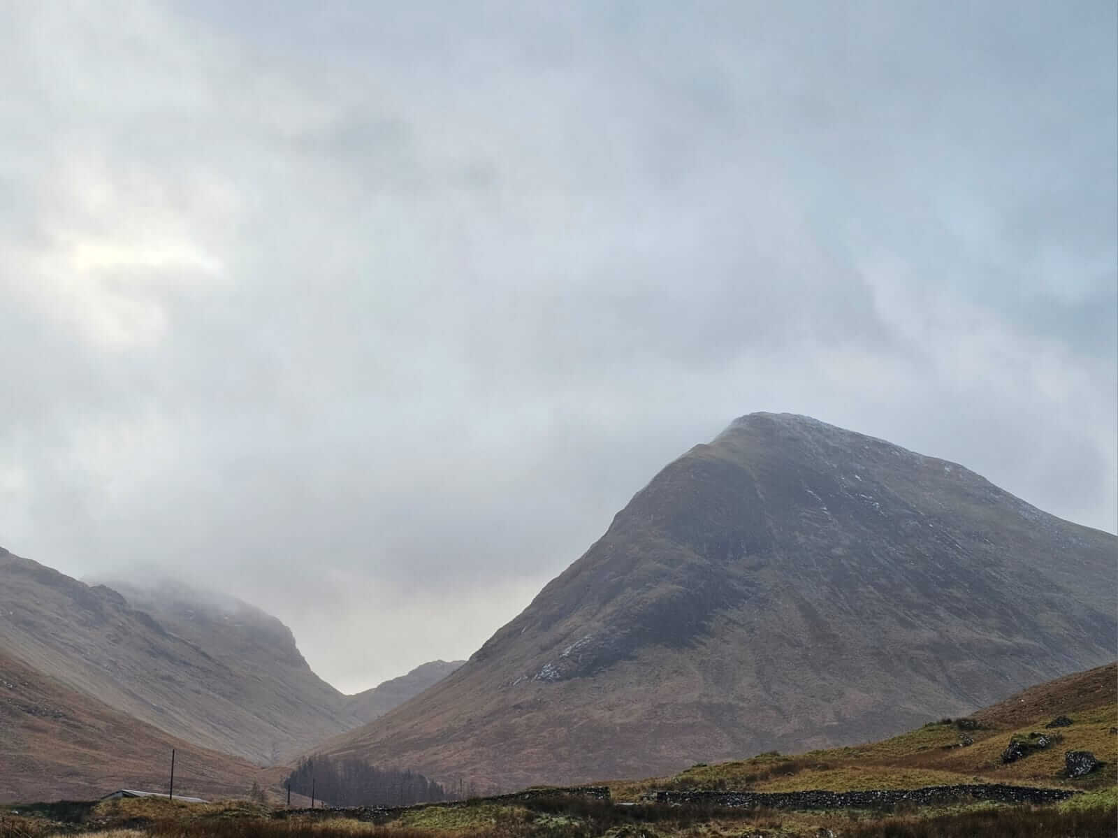
First views up the Glen and potentially the best with persistent low cloud and mist. Looking towards Beinn Moal Chaluim, Bealach Fhionnghaill and Stob an Fhuarain.
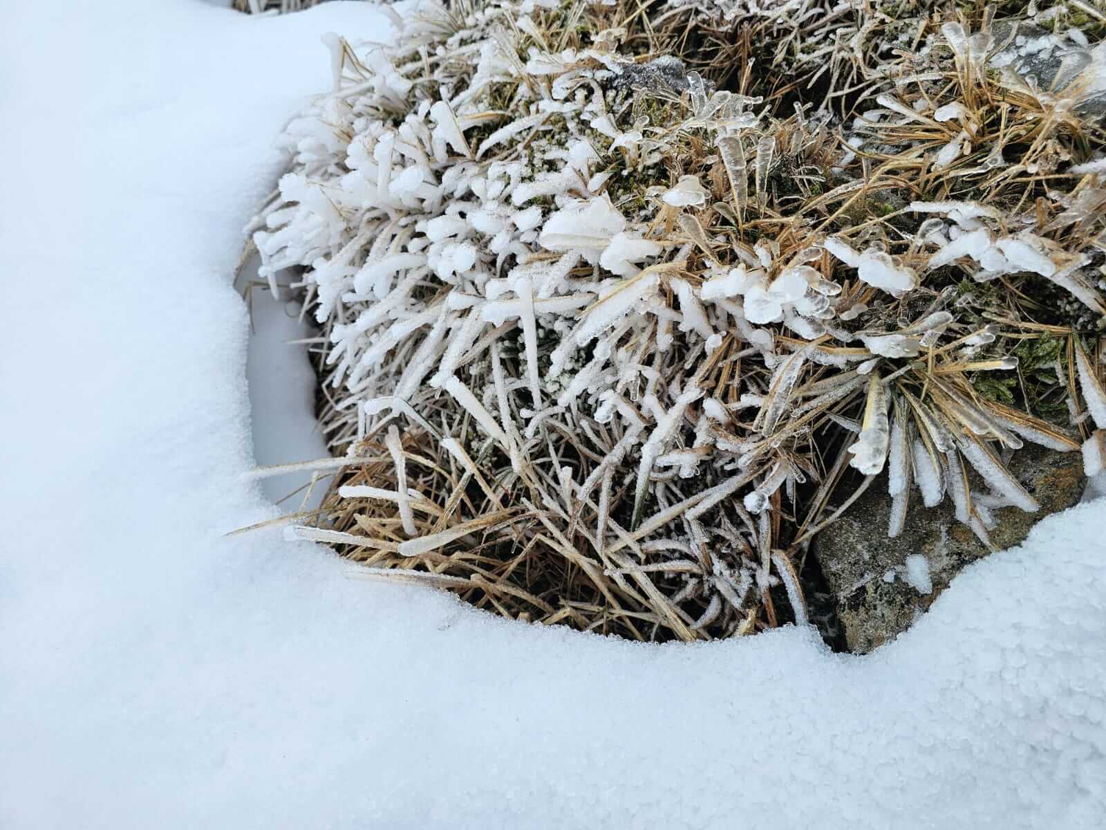
New rime crystals on exposed vegetation surround by existing snow, generally indicating north and north-west winds.
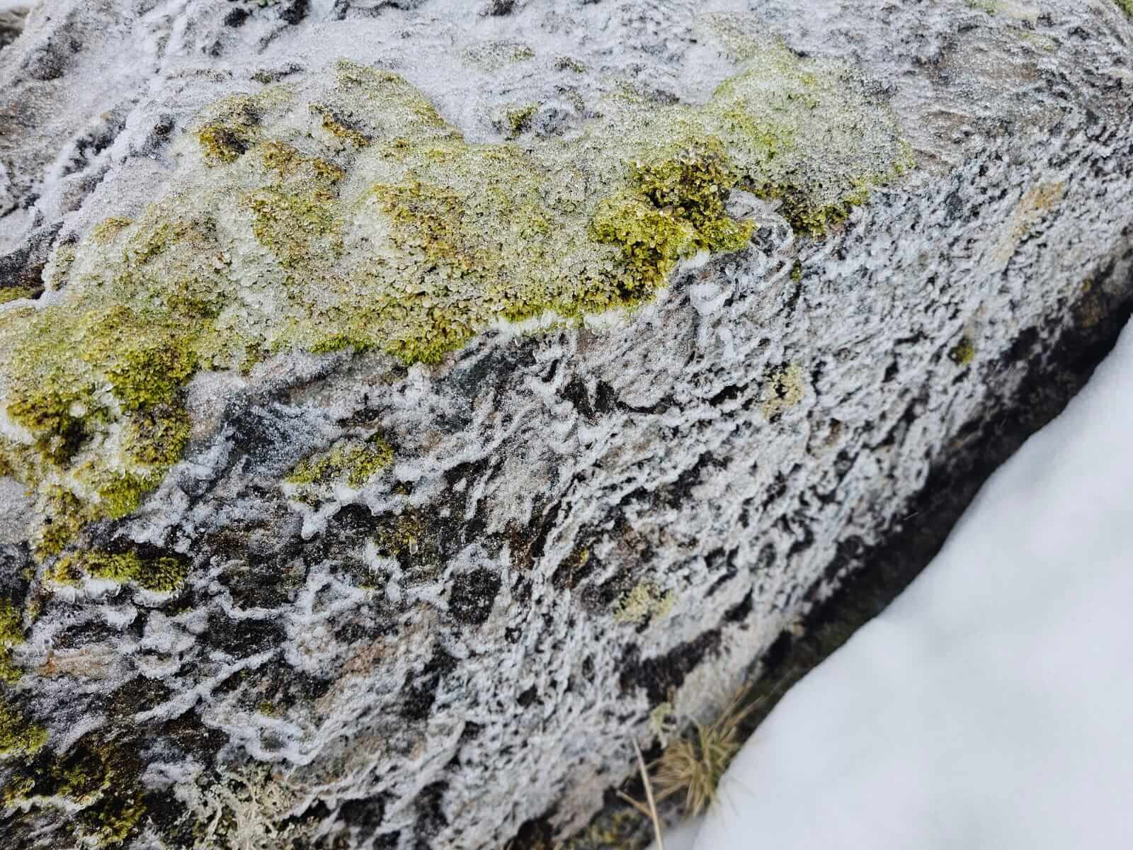
On close inspection, the lightest ‘trace’ of new snow, Meall a Bhuiridh north aspect above 950 metres.
North-East aspects on Meall a Bhuiridh, the ‘Fly Paper’ for skiers.
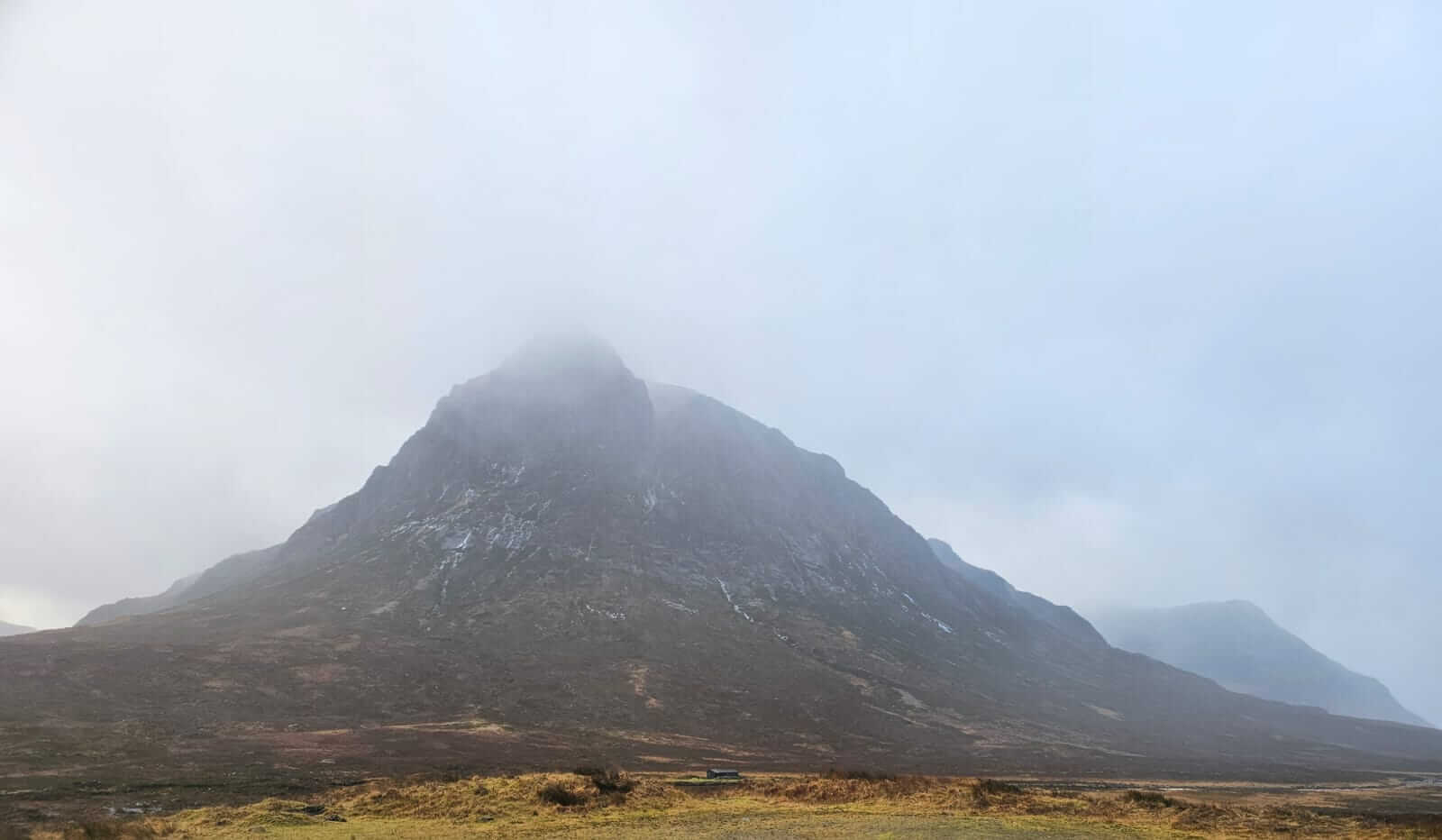
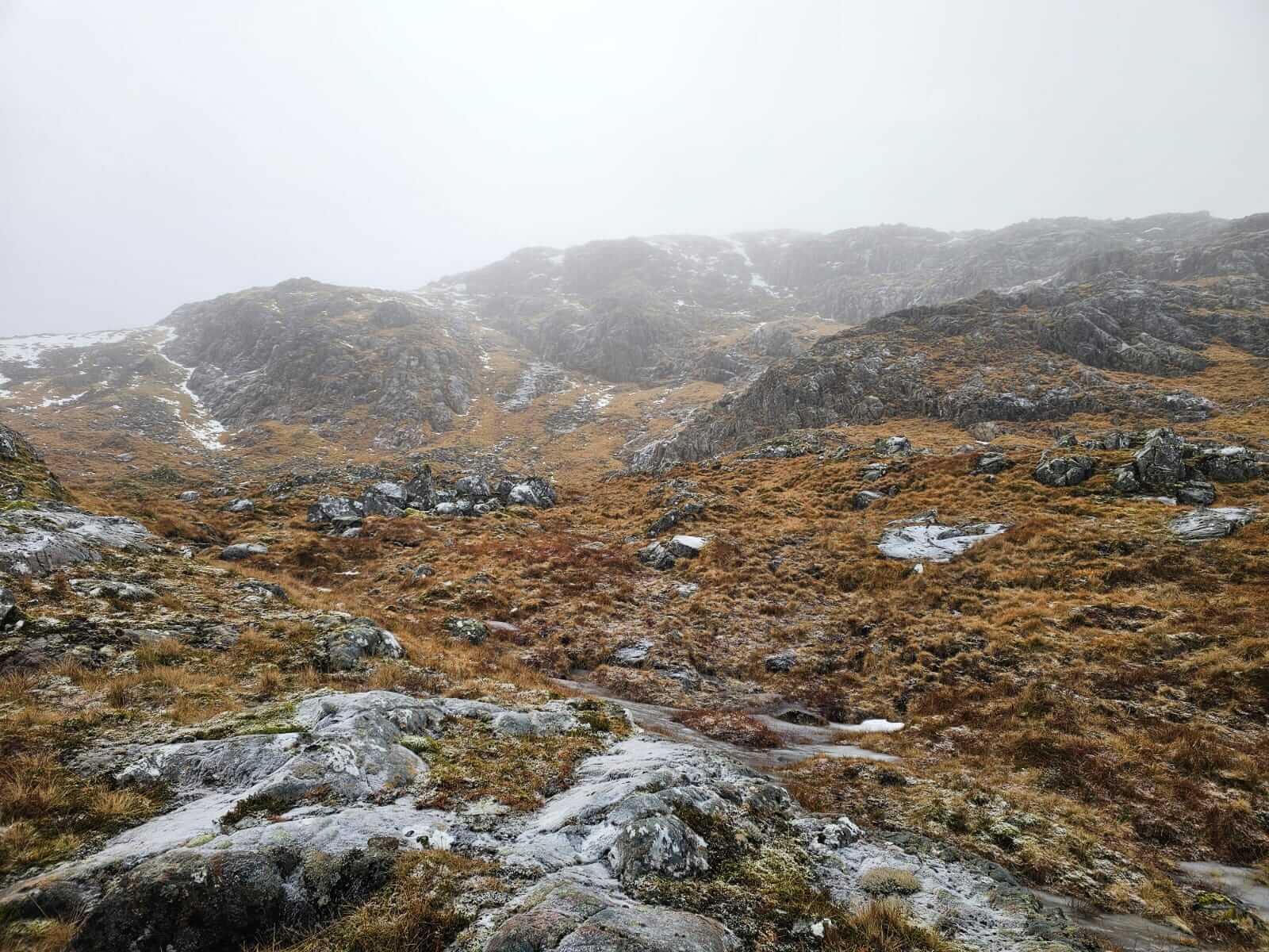
A chance view of Stob Dearg, Buchaille Etive Mor, no snow but still plenty of thawing ice runnels.
Comments on this post
Got something to say? Leave a comment