Very Wintry.
2nd January 2026
Last night snow showers fell at all levels these continued through this morning often heavy at times. The freezing level was around 100 metres and the North-North-Westerly were fresh to strong. Localised deposits of poorly bonded windslab were forming in wind sheltered locations mostly on East to Southerly aspects mainly above 900 metres. Most affected areas are where deeper accumulations have formed on older frozen deposits particularly around gully tops, coire rims and ridge flanks. Fragile cornices were also noted.
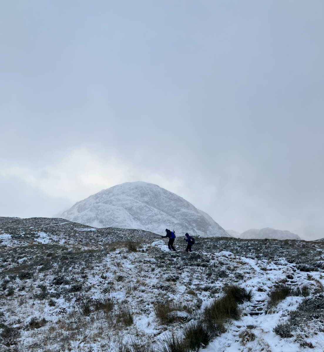
Folks leaving the road heading into Lairig Eilde this morning with a light covering of new snow.
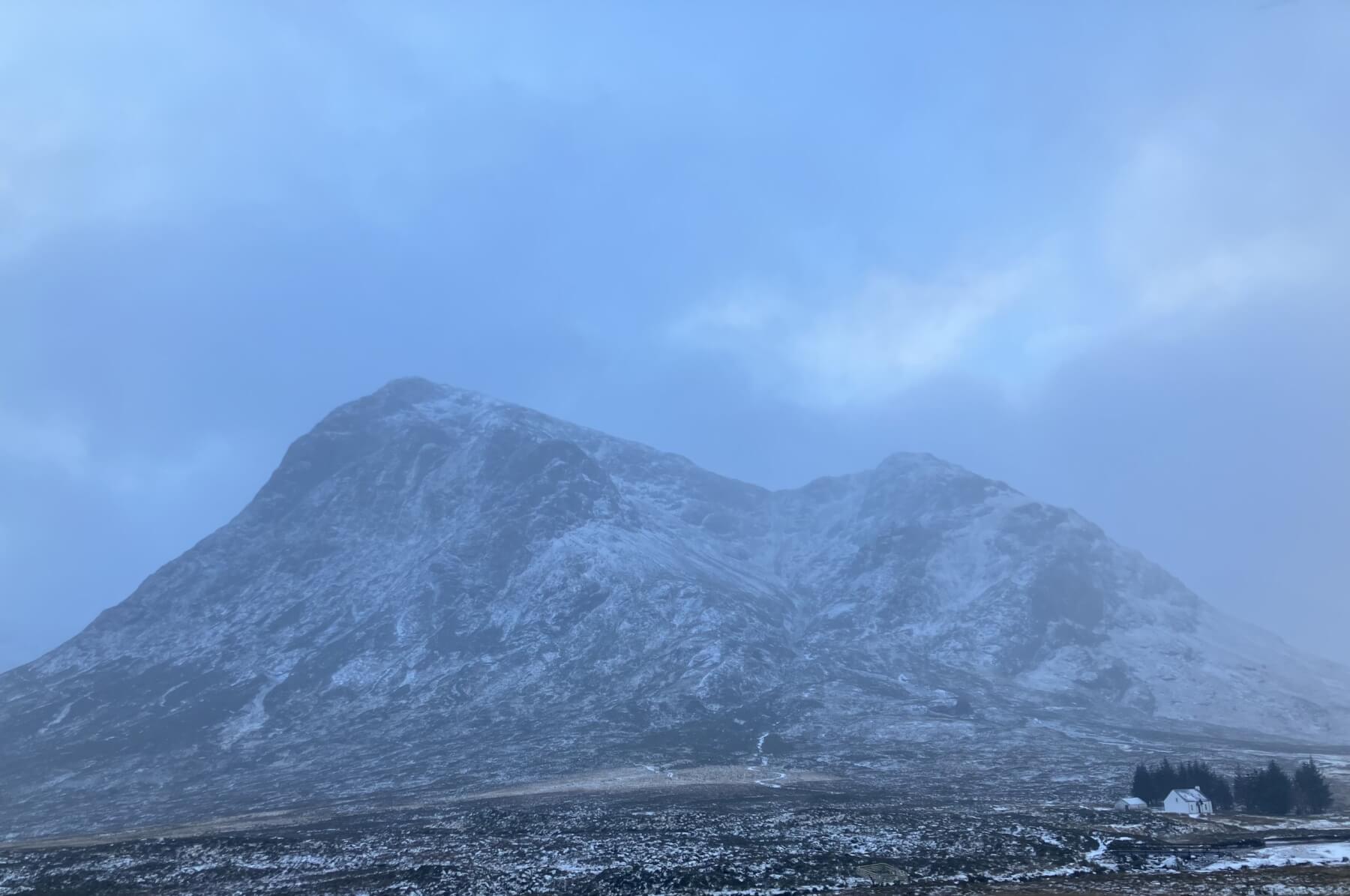
Stob Dearg – Bhuachaille Etive Mor.
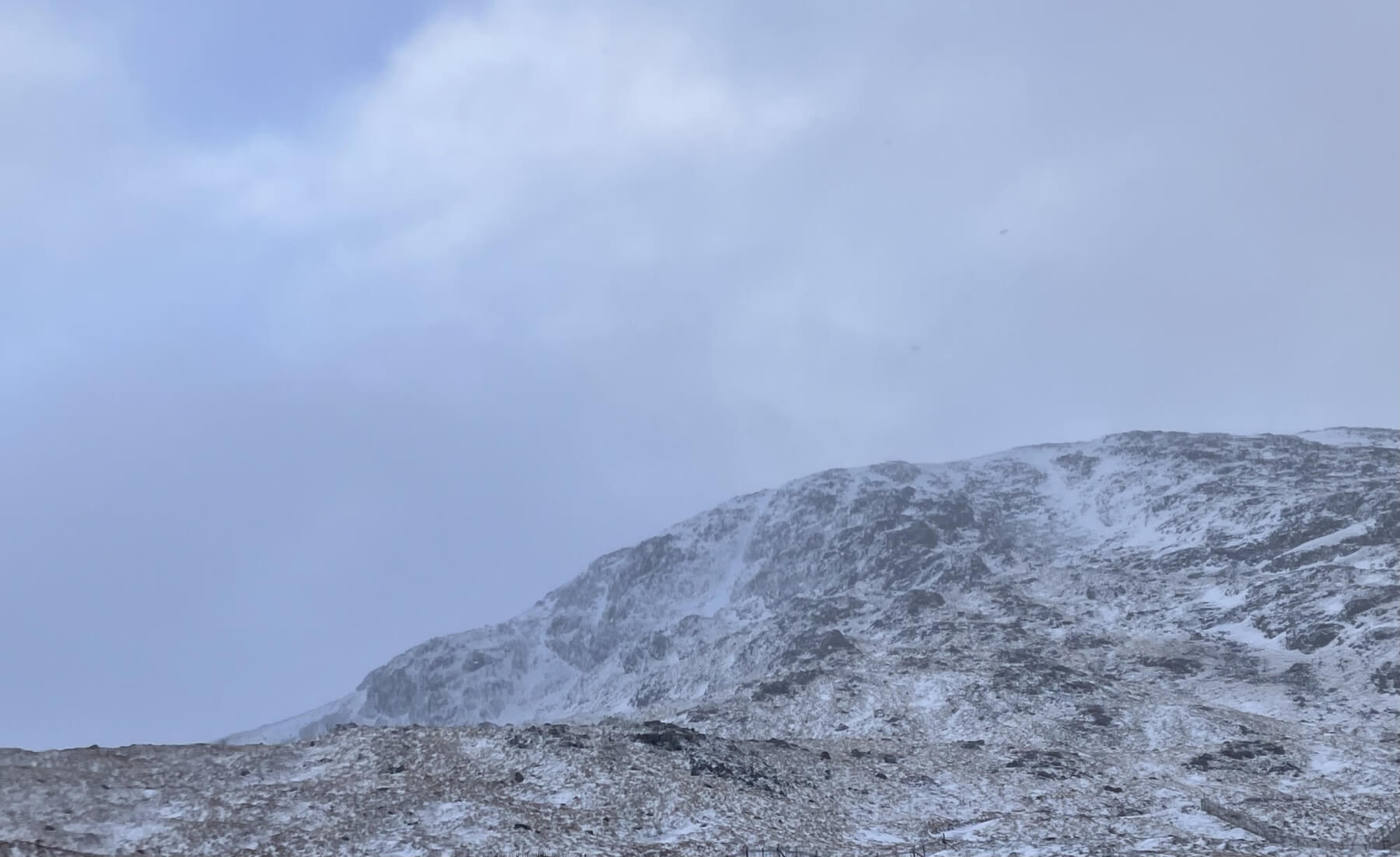
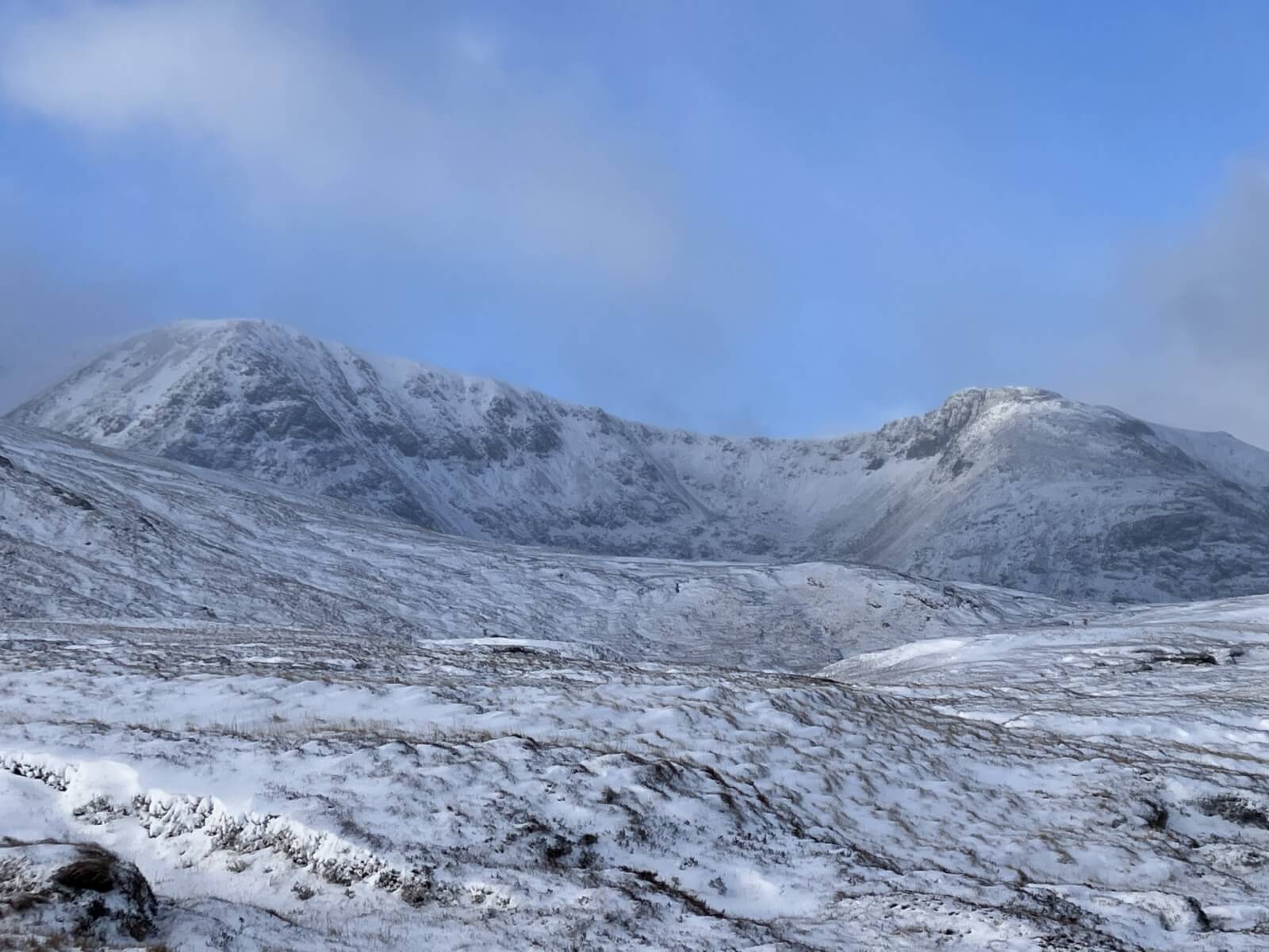
Looking up towards the East ridge of Meall a’ Bhuiridh.
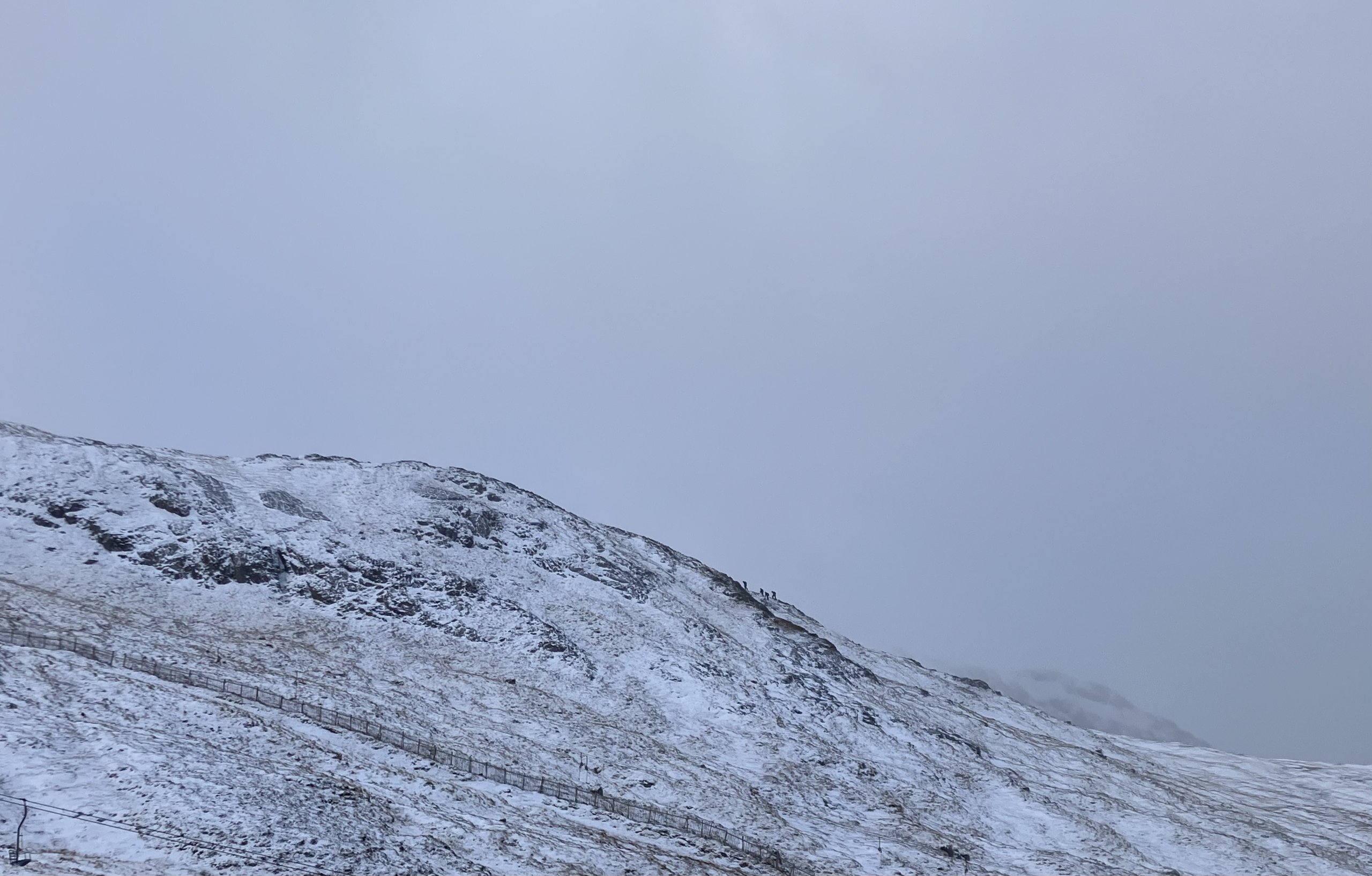
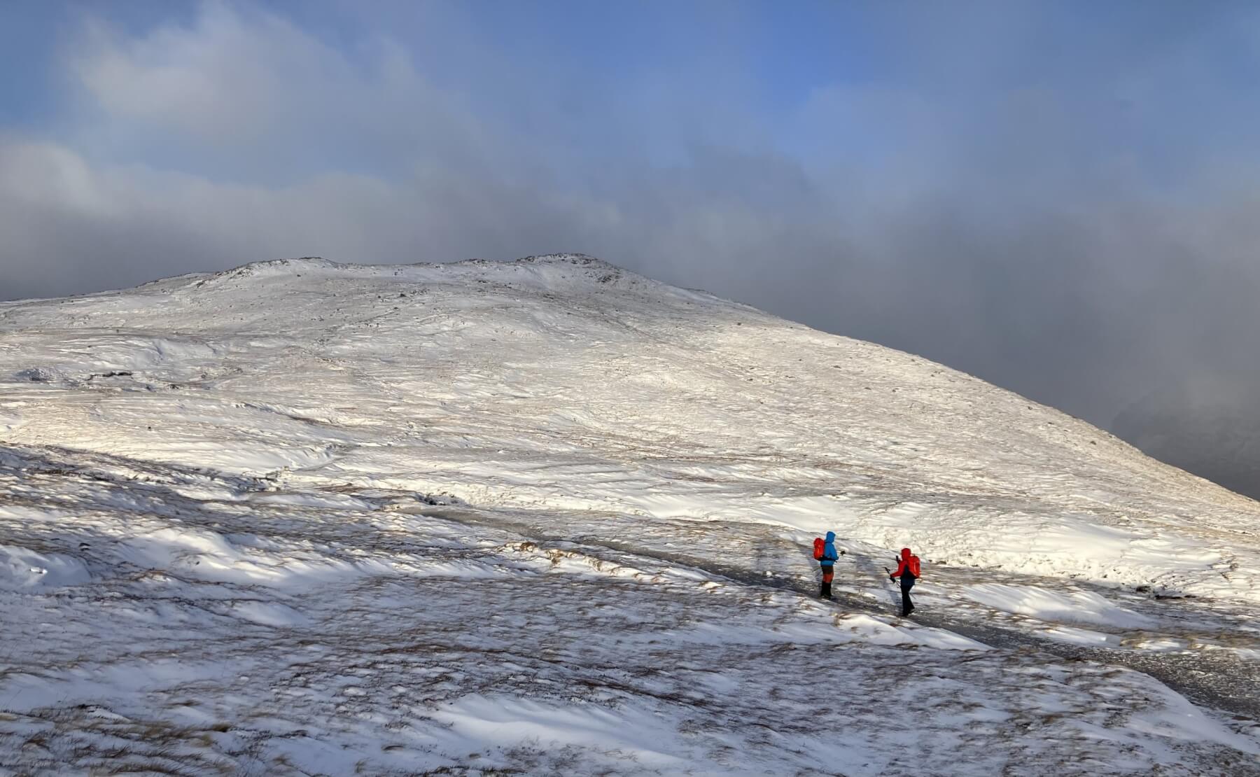
A party climbing the North ridge on Meall a’ Bhuiridh.
Looking across to Sron na Creise.
A team walking out towards Creag Dhubh in the clearing weather.
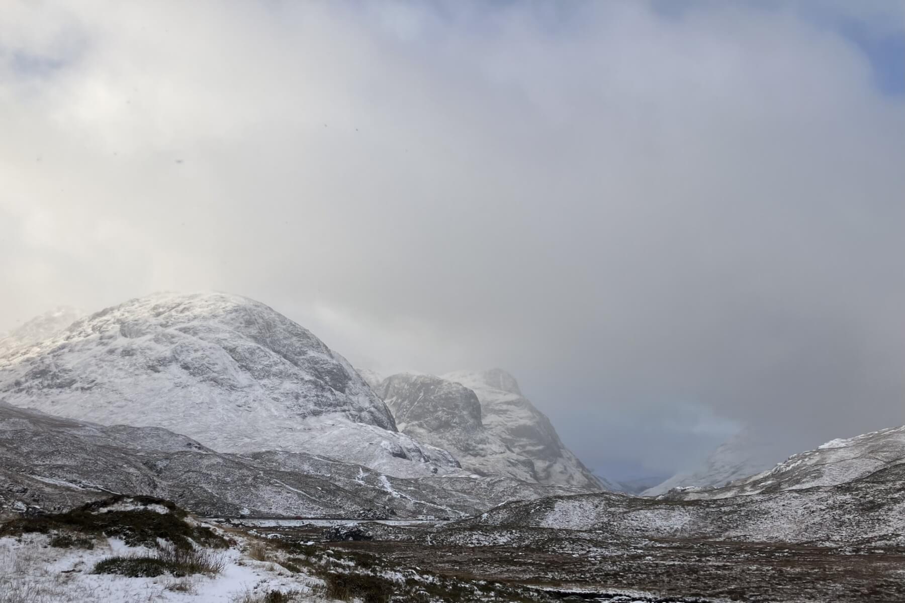
The 3 Sisters of Glen Coe.
Comments on this post
Got something to say? Leave a comment