New snow
10th January 2026
New snow fell overnight with heavier unexpected snowfall affecting the area later in the day, Fresh unstable windslab is forming on Westerly and Northerly aspects. More snow is expected overnight with between 10-20 cm possible, this along with wind transport of existing snow will lead to deep accumulations in gullies and wind sheltered areas. Mild conditions with heavy rain through the day will form wet snow instabilities particularly where deep accumulations of windslab exist on steeper ground. Avalanches and cornice collapse are likely.
Not the best visibility for photos.
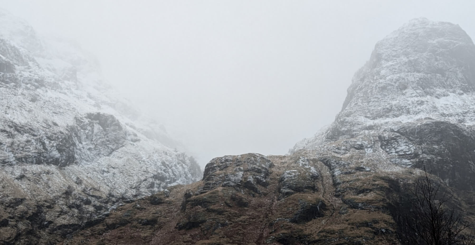
Coire Gabhail.
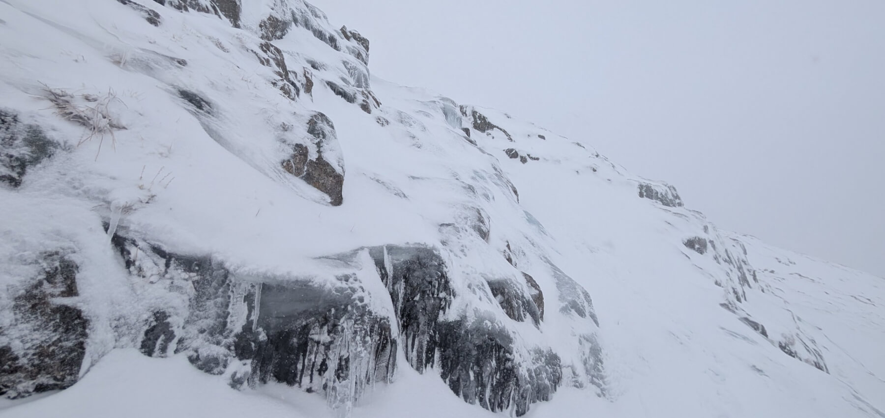
Icy conditions at 950 metres.
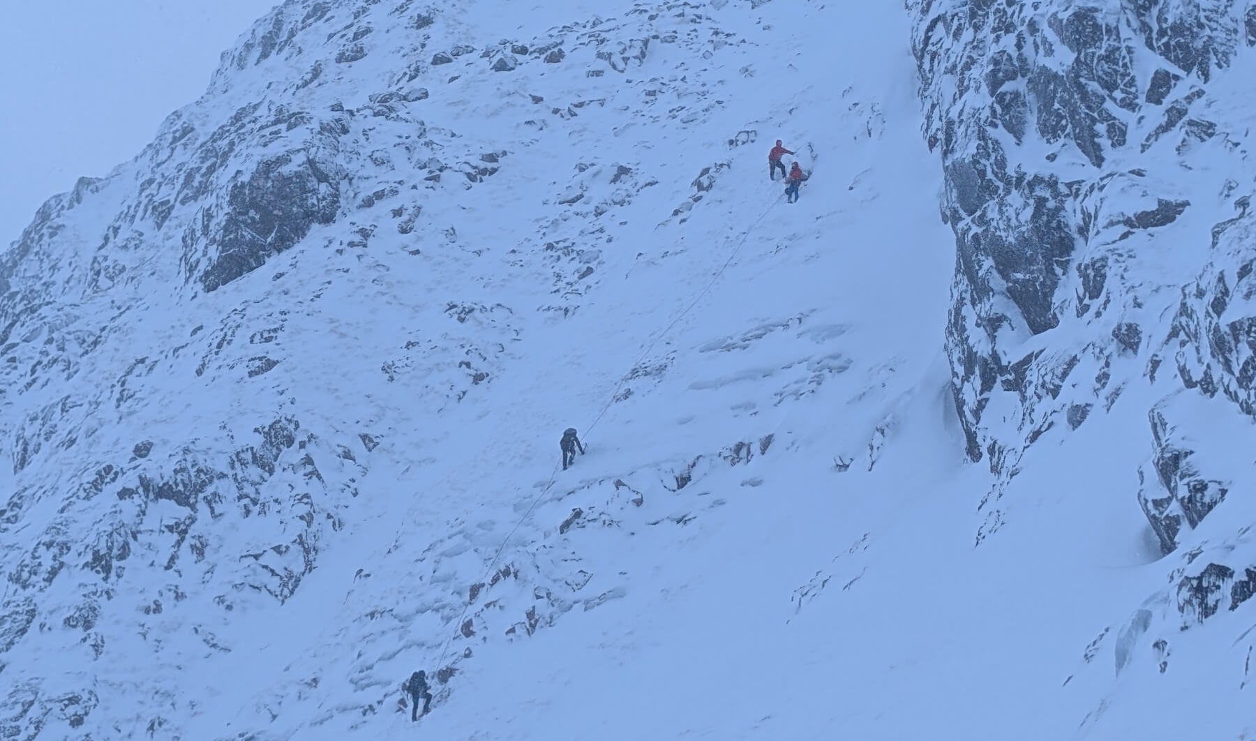
Group climbing on Meall a Bhuiridh, East ridge area.
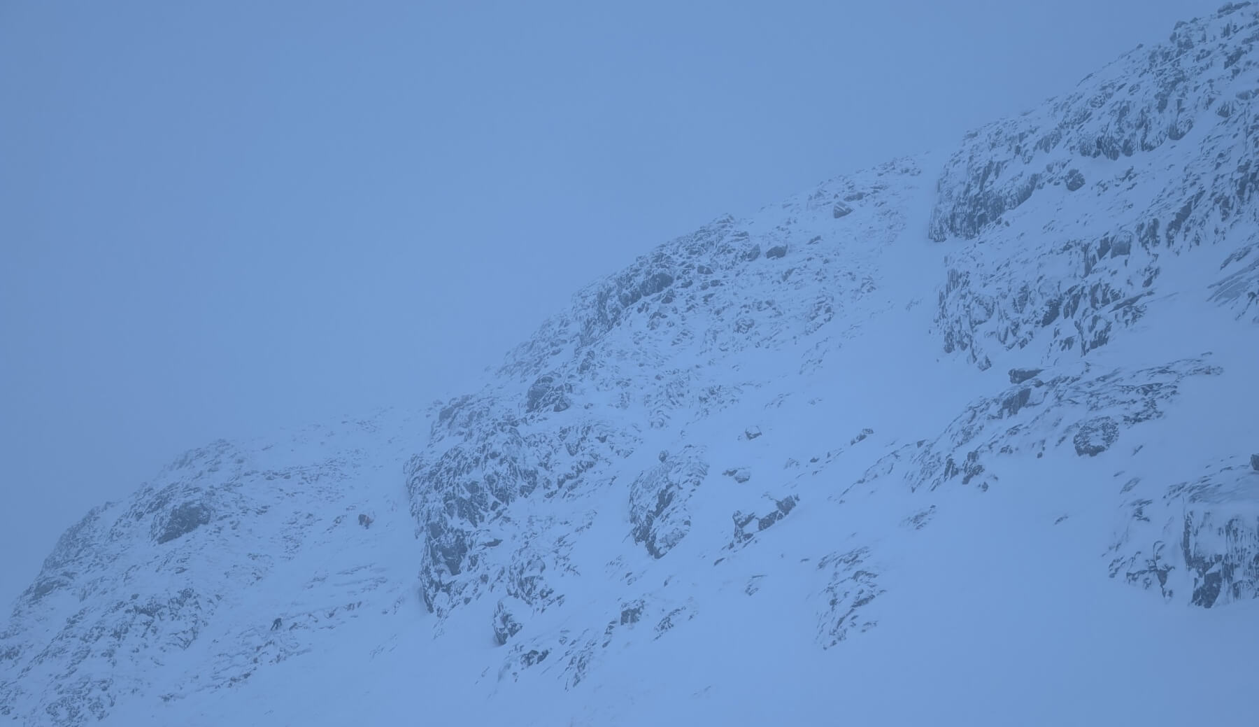
As above.
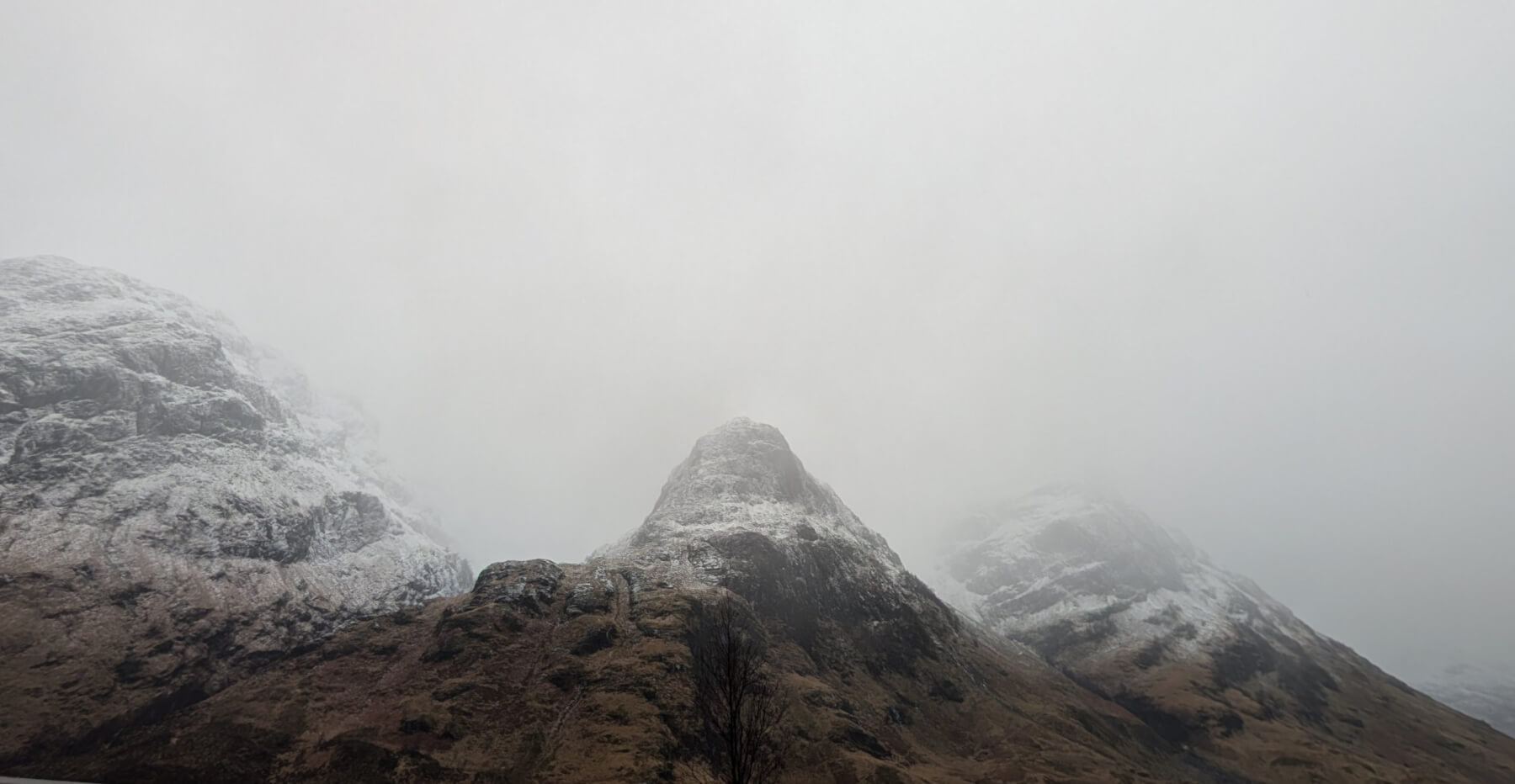
Three Sisters of Glen Coe.
Comments on this post
Got something to say? Leave a comment