Generally Cold with More Snow
15th January 2026
A period of change overnight, with a brief rise in the freezing level affecting all but the highest summits, frequent heavy showers, and fresh to strong South-Westerly winds. The showers continued through the day falling as snow mainly above 700 metres. New snow deposits on all aspects above 700 metres with deeper accumulations in wind sheltered locations at higher elevations above 850 metres. The strong winds overnight only eased slightly through the day, depositing a layer of soft windslab on the top 10cm of the new snow in wind sheltered locations, mainly North to East, above 900 metres. On steep North-East aspects around 900 metres some of the new snow deposits were approximately a metre in depth.
It becomes dryer tonight with only isolated showers tomorrow, remaining cold with the freezing level between 500 and 800 metres and lighter winds from south-easterly directions.
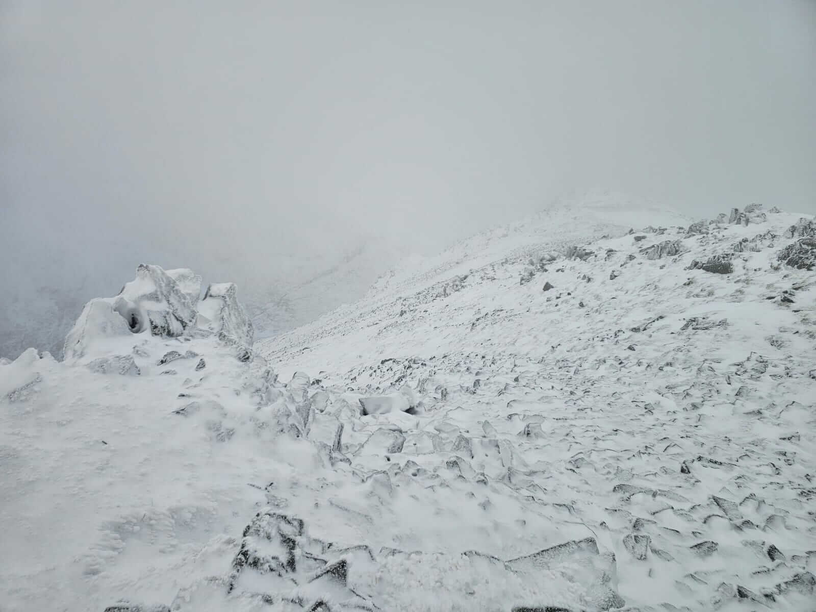
North-west aspect from near the summit of Meall a Bhuiridh looking down into the Cam Ghlinne.
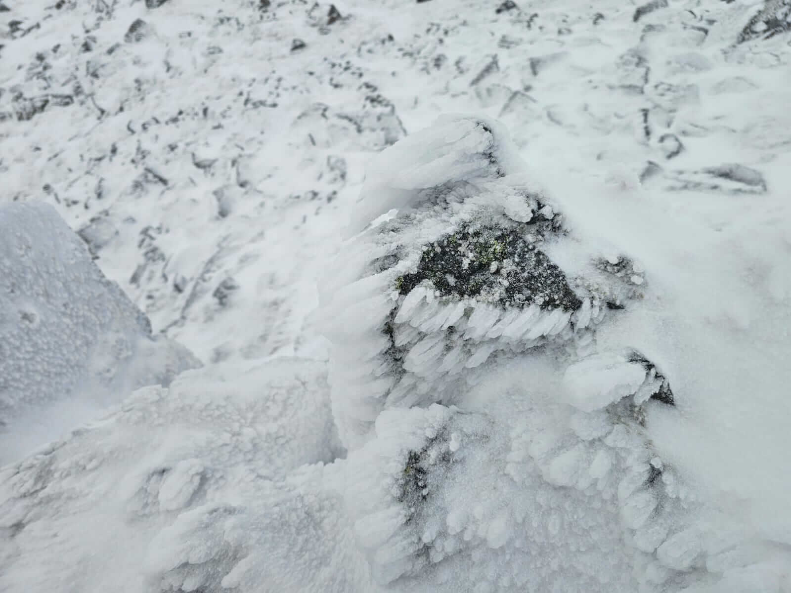
Rime forming on rocks from the south-westerly winds. A clear indicator of overnight wind directions.
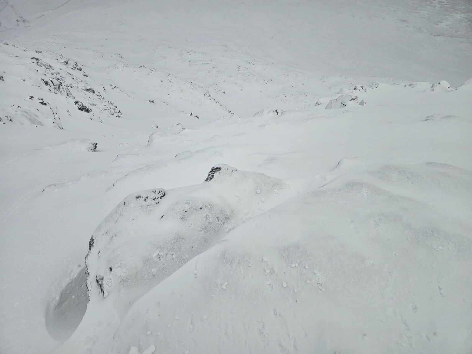
Peering down a north-east aspect with deeper accumulations of mainly soft snow and a layer a soft windslab. Meall a Bhuiridh.
North-east aspect around 900 metres. The Fly Paper area filling in with thigh deep soft snow in places.
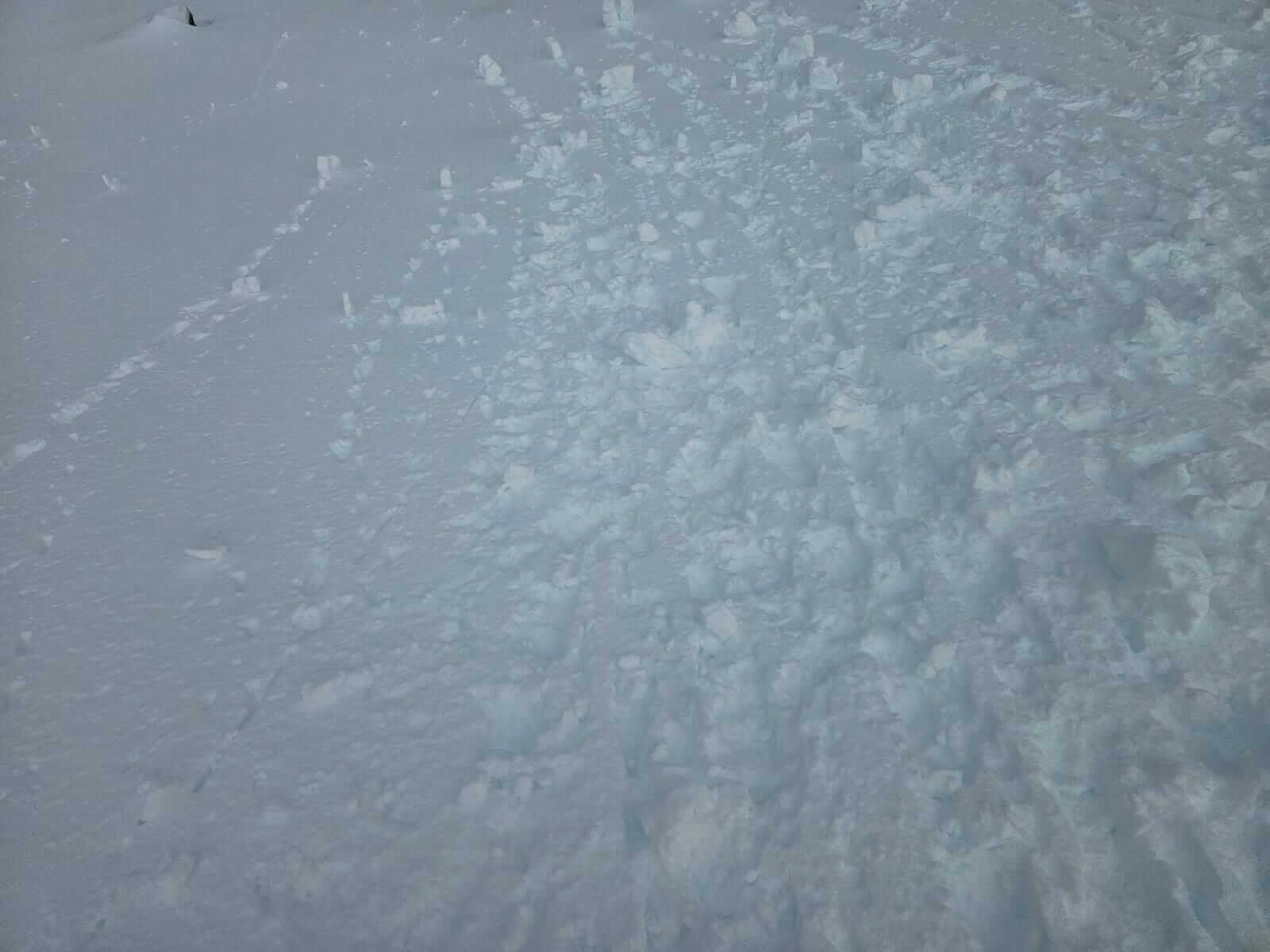
Snowballing whilst walking and wading down steeper snow on the Fly Paper.
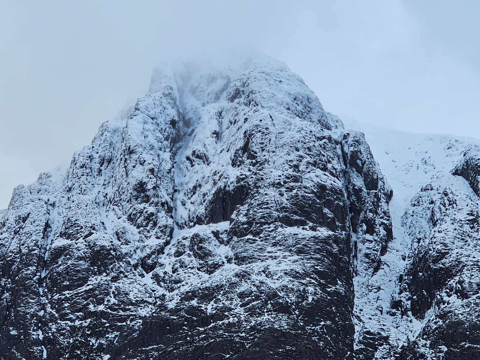
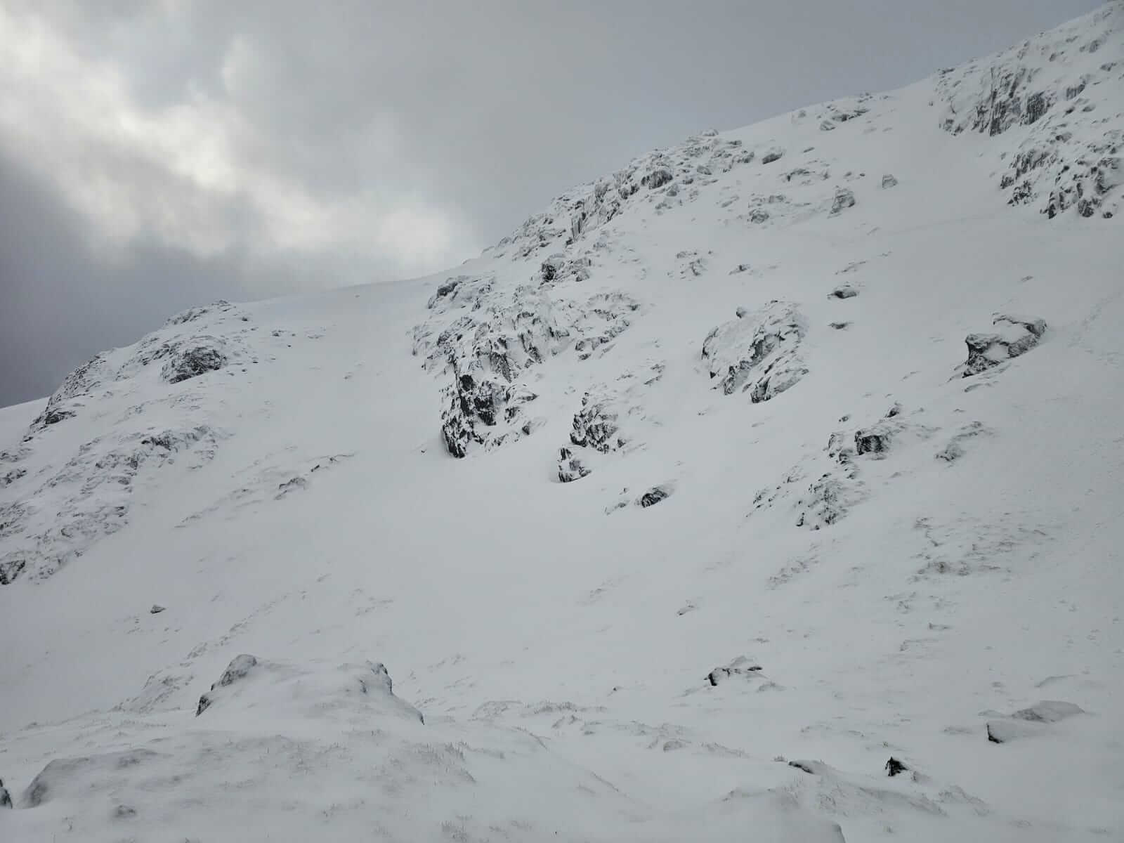
The summit of Stob Dearg, Buchaille Etive Mor. The classic ridges and gullies, Curved Ridge, Crowberry Ridge, North Buttress, Crowberry and Great Gullies.
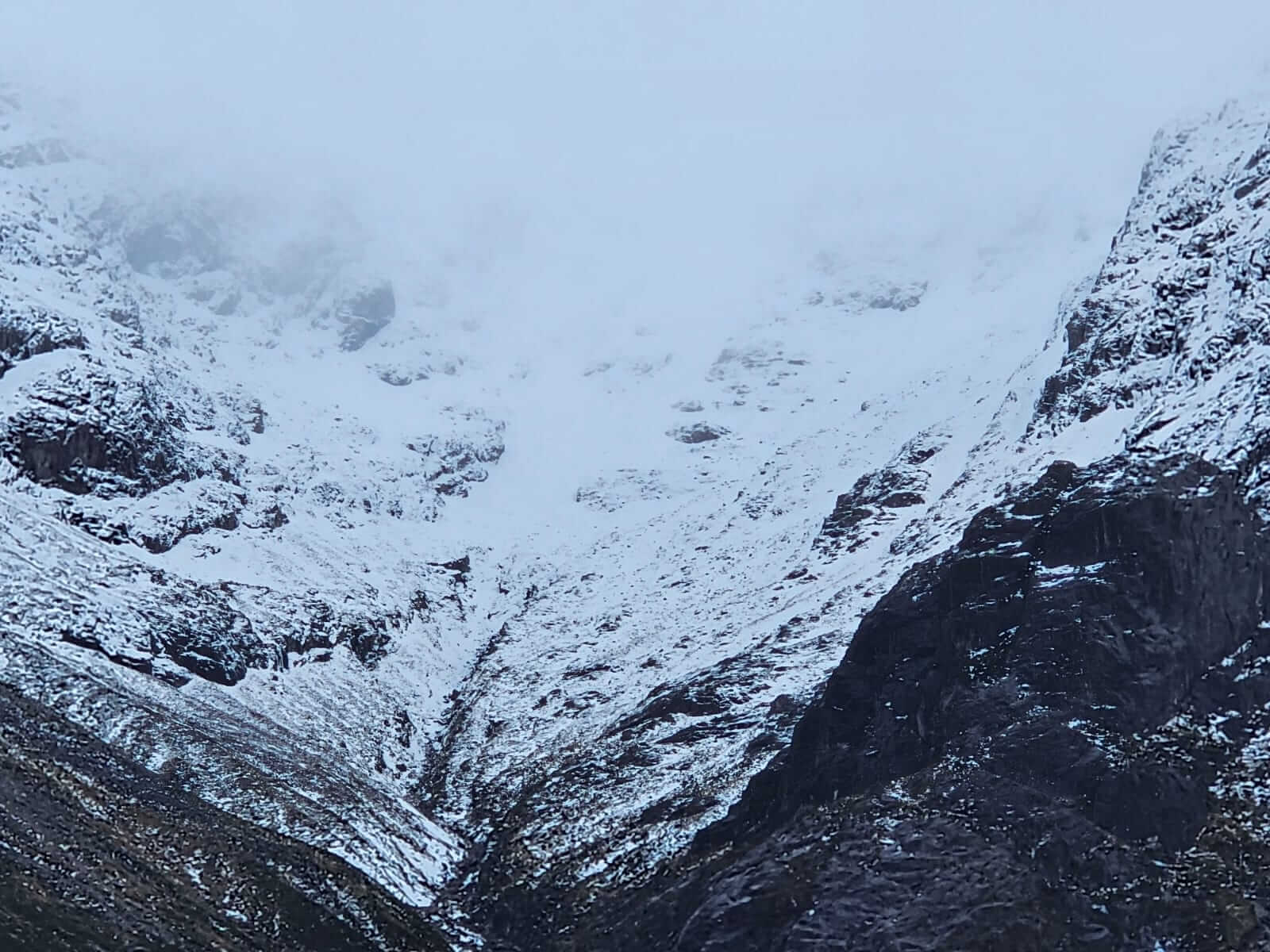
Coire na Tulaich, Buchaille Etive Mor.
Comments on this post
Got something to say? Leave a comment


