Snowfall to lower levels.
23rd January 2026
The recent mild conditions of early yesterday left the snowpack moist at most levels this refroze last night. New snow arrived mainly last night and early this morning on very strong variable Southerly winds and deposited a lot of the new snow to lower elevations. Today the freezing level was around 750 metres with scattered snow showers. Winds were mainly South-South-Easterly and strong of the higher summits. These strong winds have scoured many exposed areas leaving a hard icy surface. Soft unconsolidated snow at lower elevations. Not a great day for photos but here’s a flavor of the conditions.
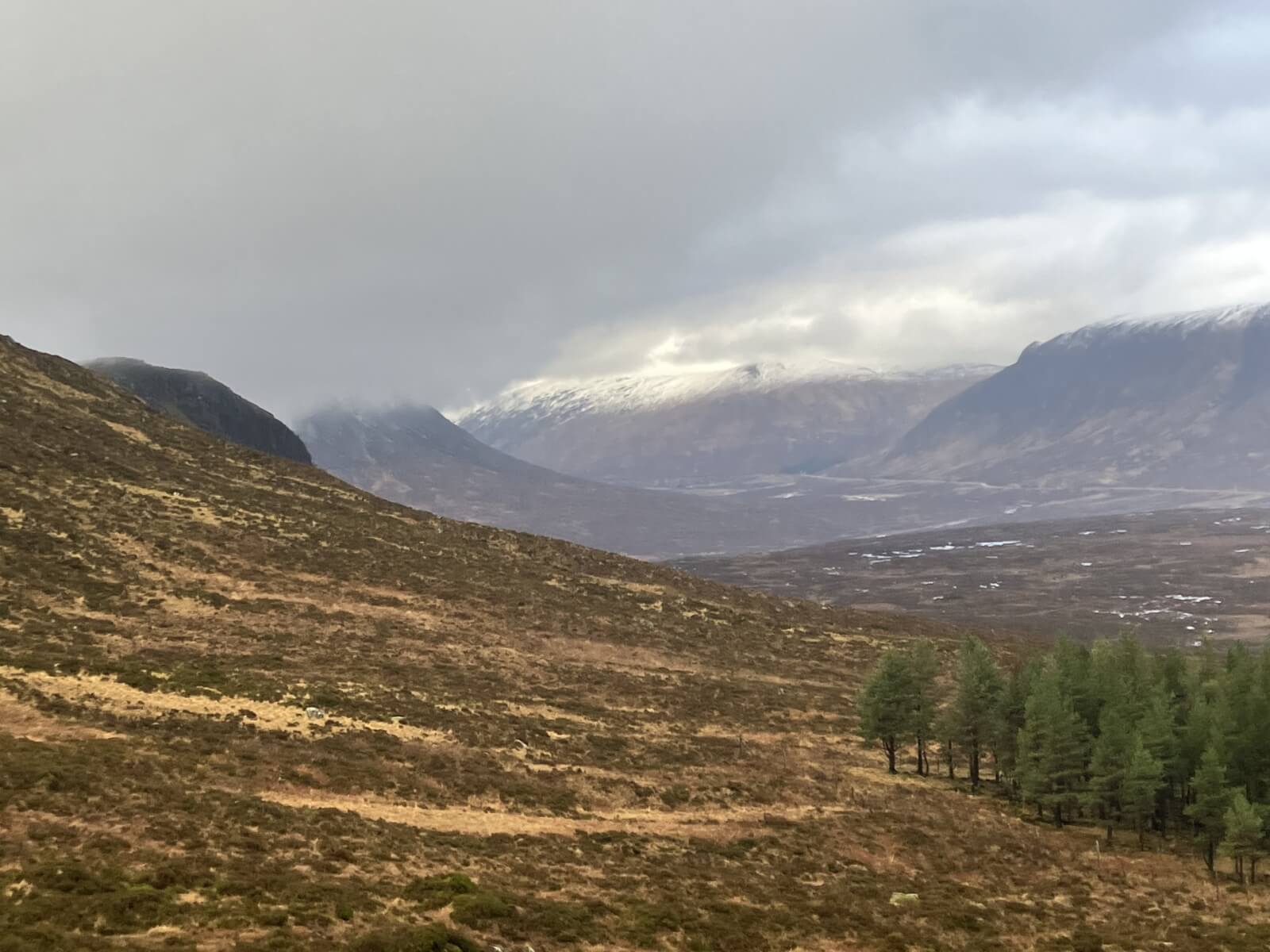
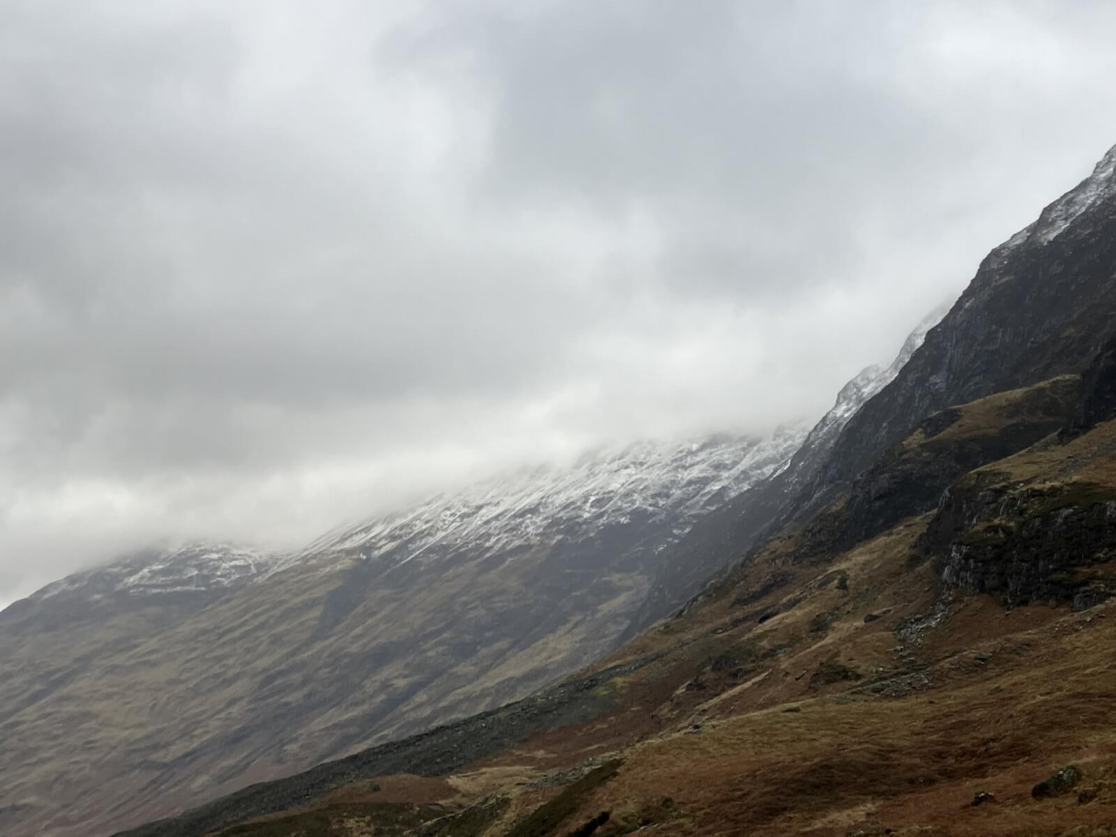
The first view of the day. New snow fell mainly above 450 metres looking towards Glencoe the summit of Stob Mhic Mhartuin 706 metres just beyond Altnafeadh seen with some black rocks below its top, Stob Dearg lurking in the mist to left.
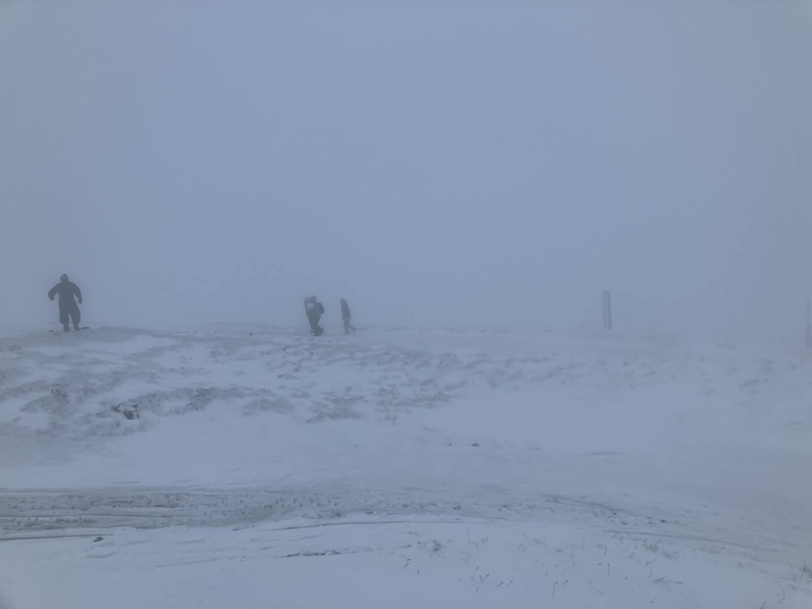
Very poor visibility today so not good for photographers here crossing Meall a’ Bhuiridh plateau area at around 700 metres.
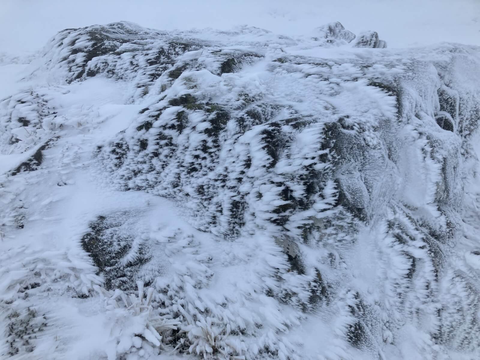
Lots of rime ice forming into the wind on many rocks.
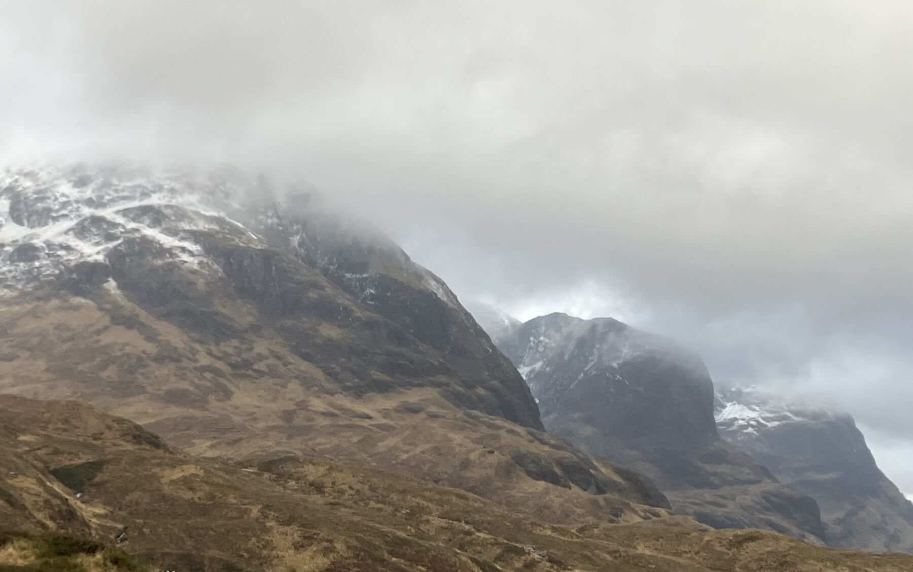
The 3 Sisters of Glencoe.
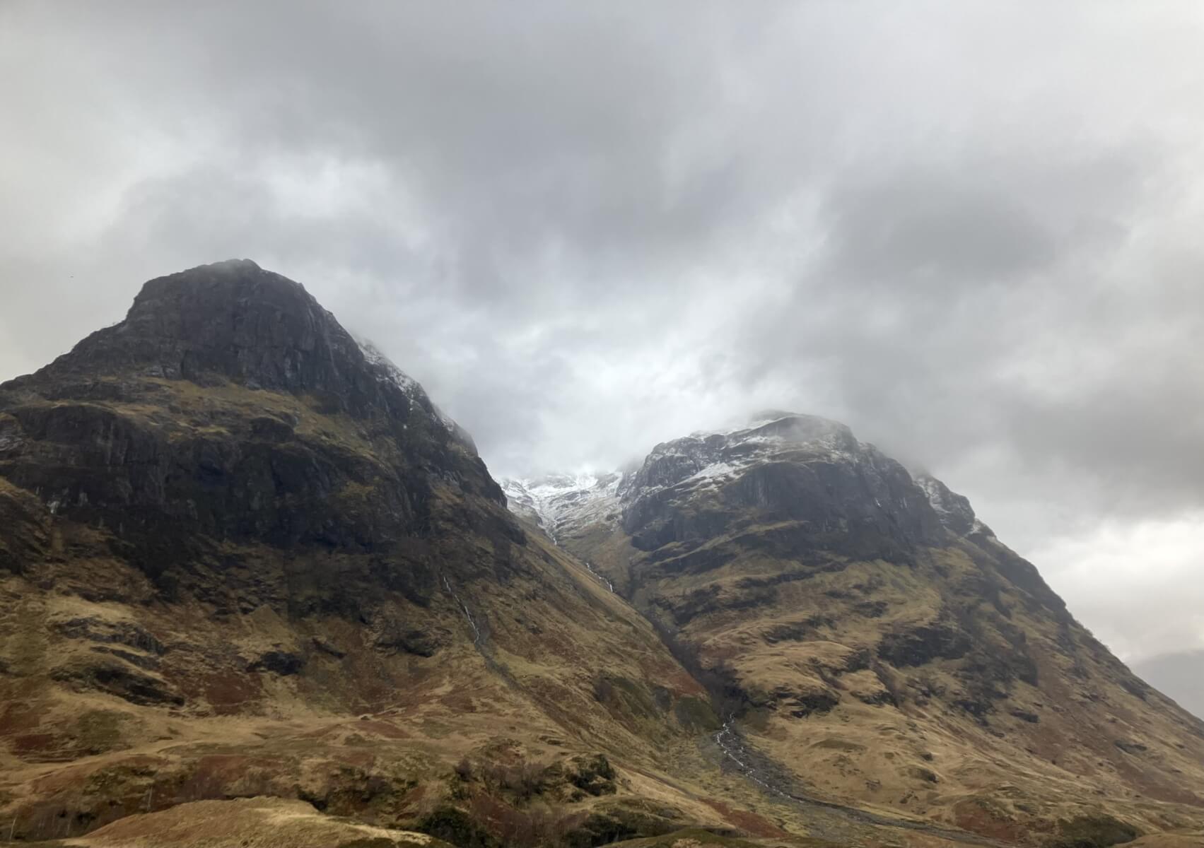
Gearr Aonach and Aonach Dubh with Stob Coire nan Lochan in between.
Southerly aspect of the Aonach Eagach ridge.
Comments on this post
Got something to say? Leave a comment