Easterly Gales and Showers
5th February 2026
Damp and cloudy with showers falling as snow above 700 metres, some dryer and brighter spells. Very windy at higher elevations, strong to gale force from the East. Following a period of consolidation overnight the snowpack was already refrozen and firm above 750 metres with good stability. Very small accumulations of fresh and redistributed snow are beginning to reform in wind sheltered locations on mainly Westerly aspects though amounts are not significant. Below 750 metres the snowpack remains softer and moist.
It will be dry tonight and tomorrow with the freezing level about 500 metres. Easterly winds will remain strong to gale force, easing slightly through the day. Little change is expected in the snowpack which will be firm and stable.
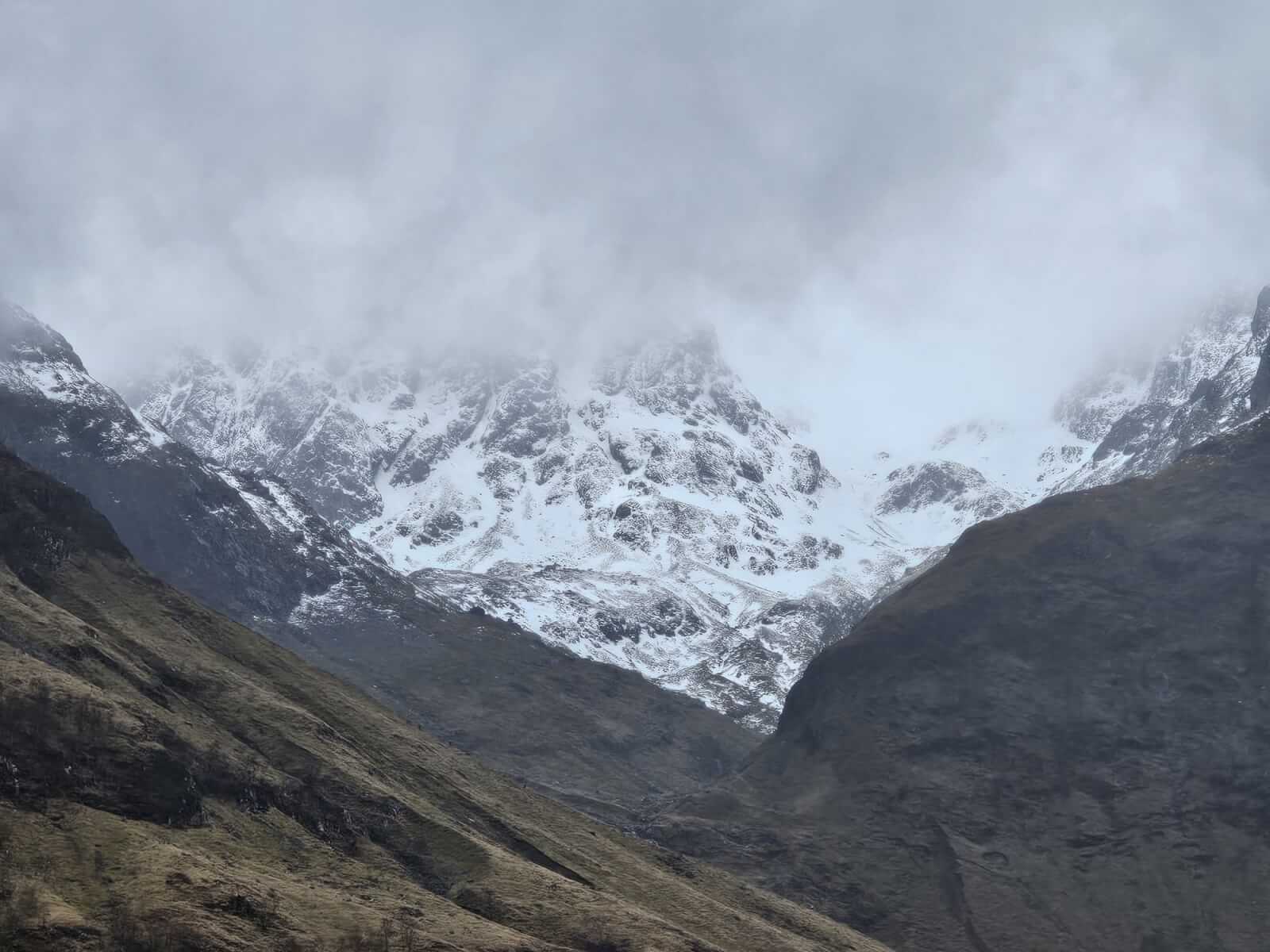
Limited views into Coire nam Beith. Summit cloud stayed around all day with some higher glimpses in brighter periods.
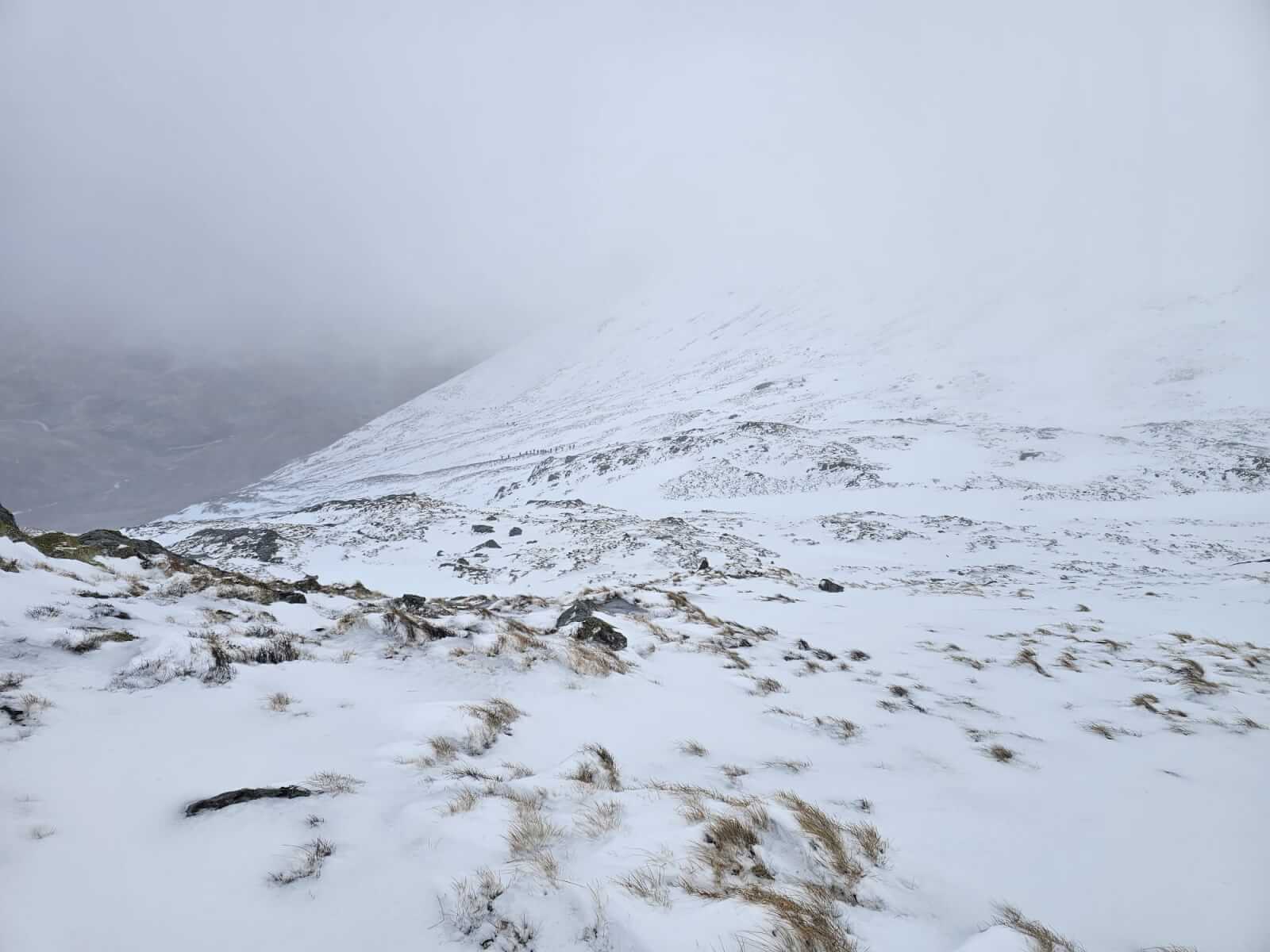
Quite a few groups heading onto Buachaille Etive Beag. The ridge line was very windy with Easterly gale force winds.
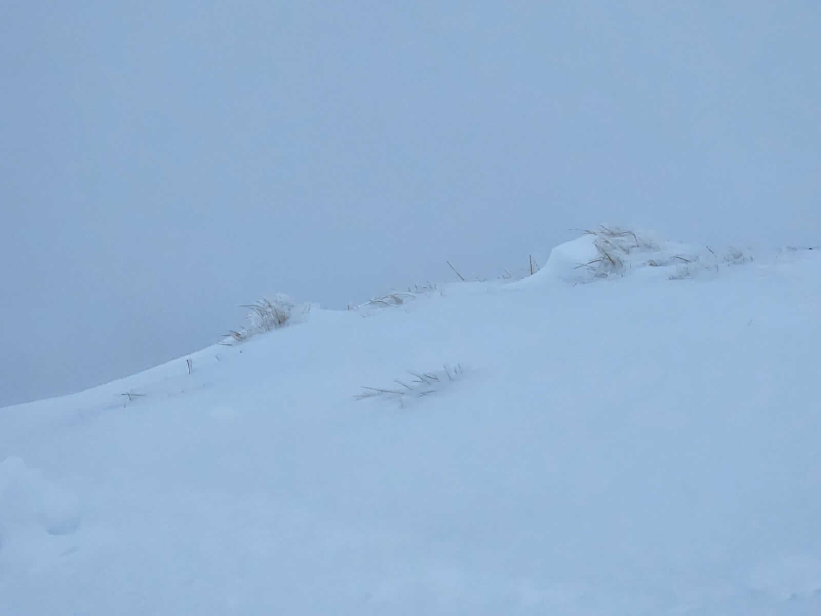
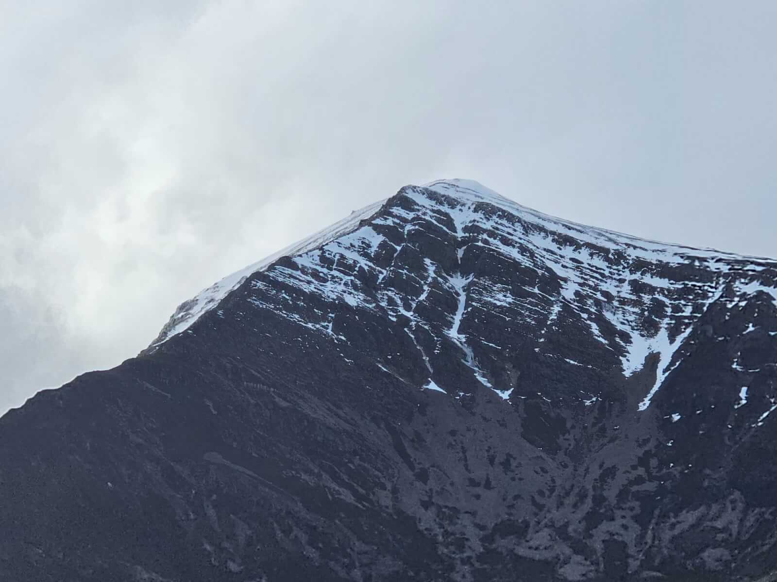
Doesn’t really show it, but strong buffeting and poor visibility during showers, difficult to tell between redistributed snow in the gale force Easterly winds and showers falling as snow.
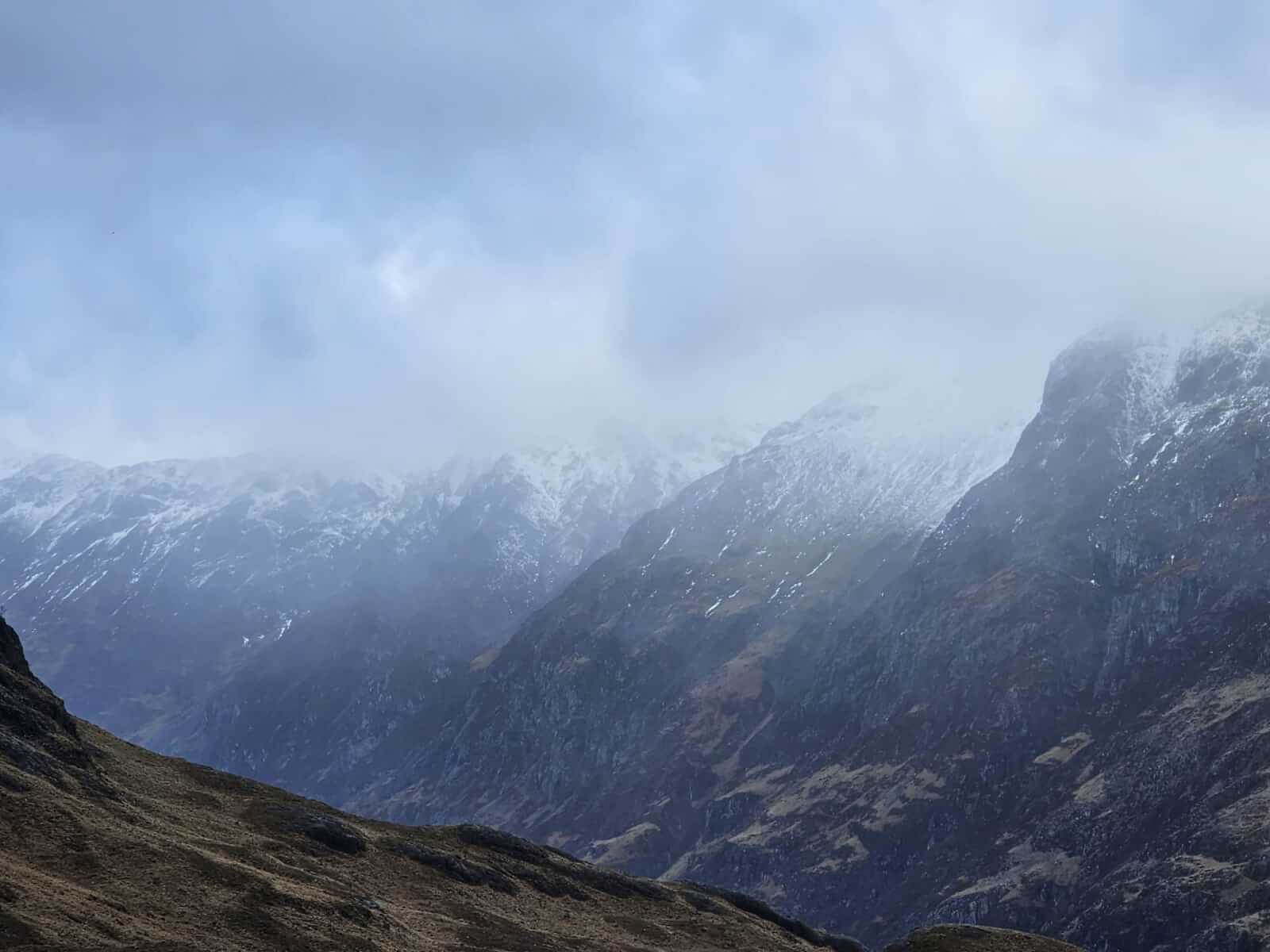
Glimpses along the Aonach Eagach ridge in a brighter spell.
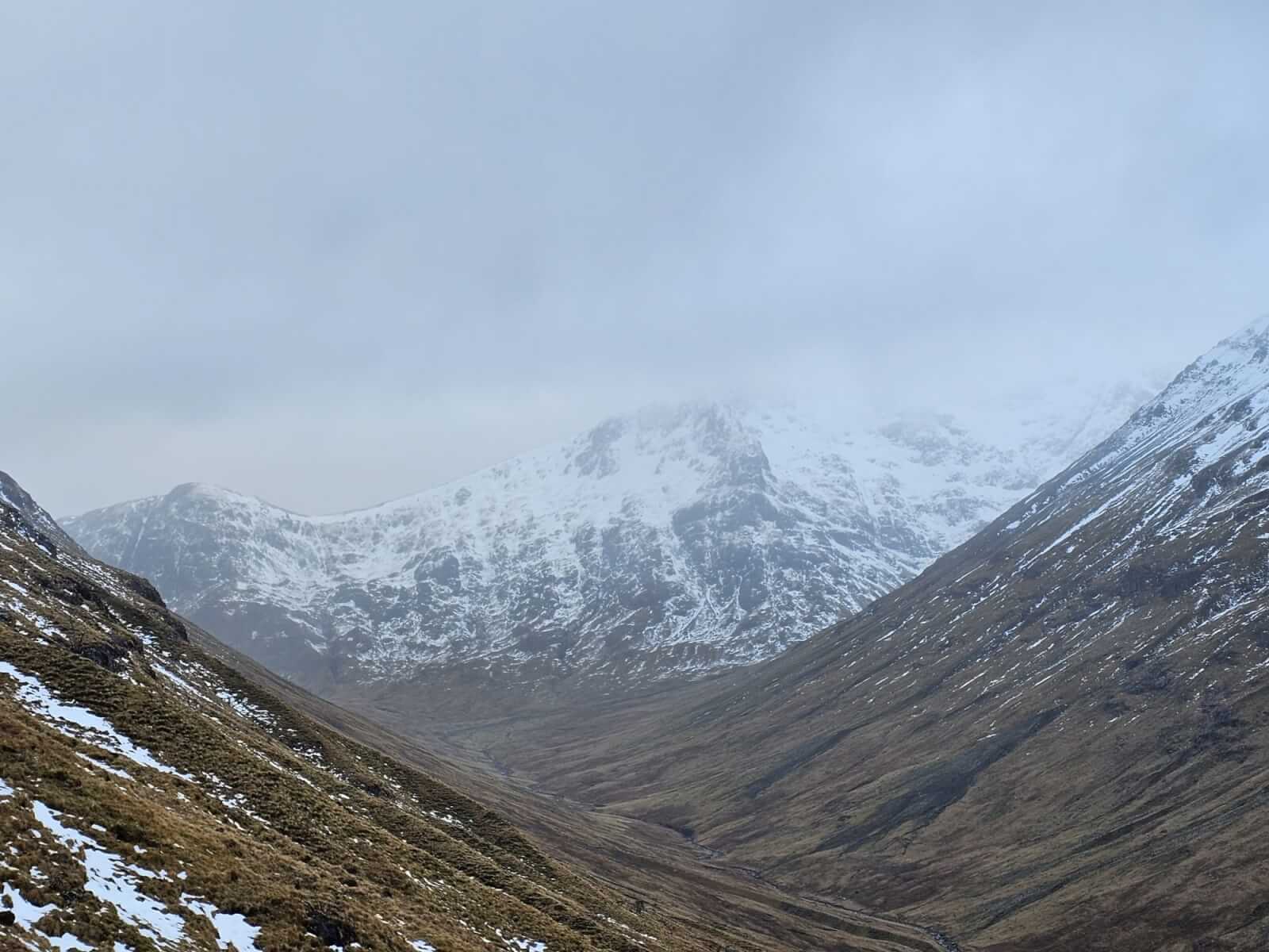
Lairig Eilde, Sron na Lairig and Coir Eilde.
School House ridge above Ballachulish onto Sgorr Bhan.
Comments on this post
Got something to say? Leave a comment


