New Snow and Windslab
11th February 2026
Colder today with cloudy summits and showers through the day, snow falling above around 600 metres. Winds were fresh to strong from variable South-Easterly directions blowing snow around and drifting in places. Poor visibility during the showers.
Fresh snow accumulations have continued to form through today above around 600 metres, landing mostly on the existing snowpack which has started to refreeze and is generally firm and stable. Walking was a mix of a breakable crust, to kicking steps and at higher elevations crampons becoming useful if not essential. Above around 800 metres the fresh accumulations were gaining some depth with areas of unstable soft windslab forming in steep wind sheltered locations, mainly on Westerly aspects. These accumulations have continued to build through the day with the hazard increasing.
Further showers this evening, becoming dry but with continuing Easterly winds.
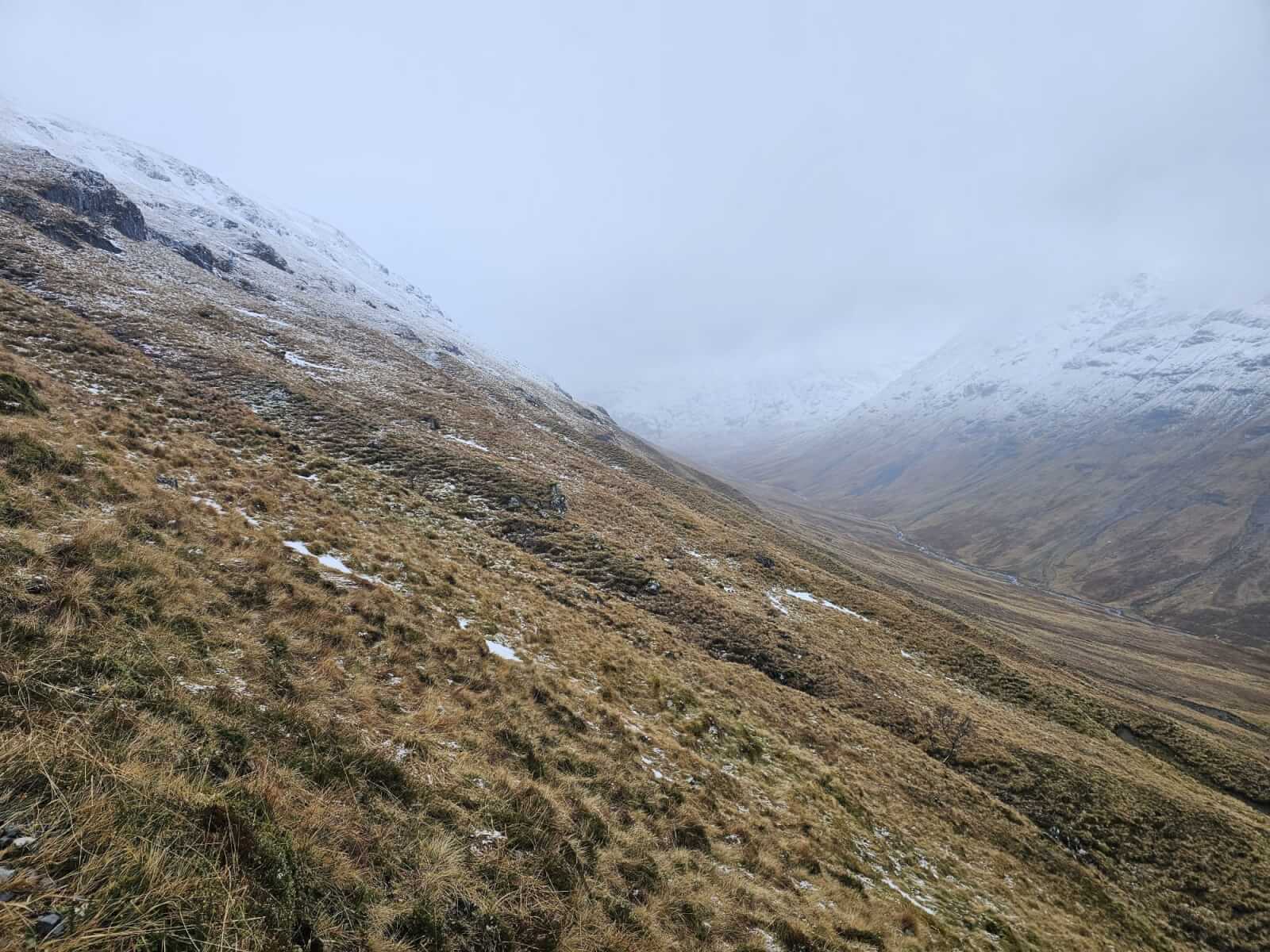
With a lower freezing level today, snowfall was settling above around 600 metres. Here looking along Allt Lairig Eilde. Another cloudy day…
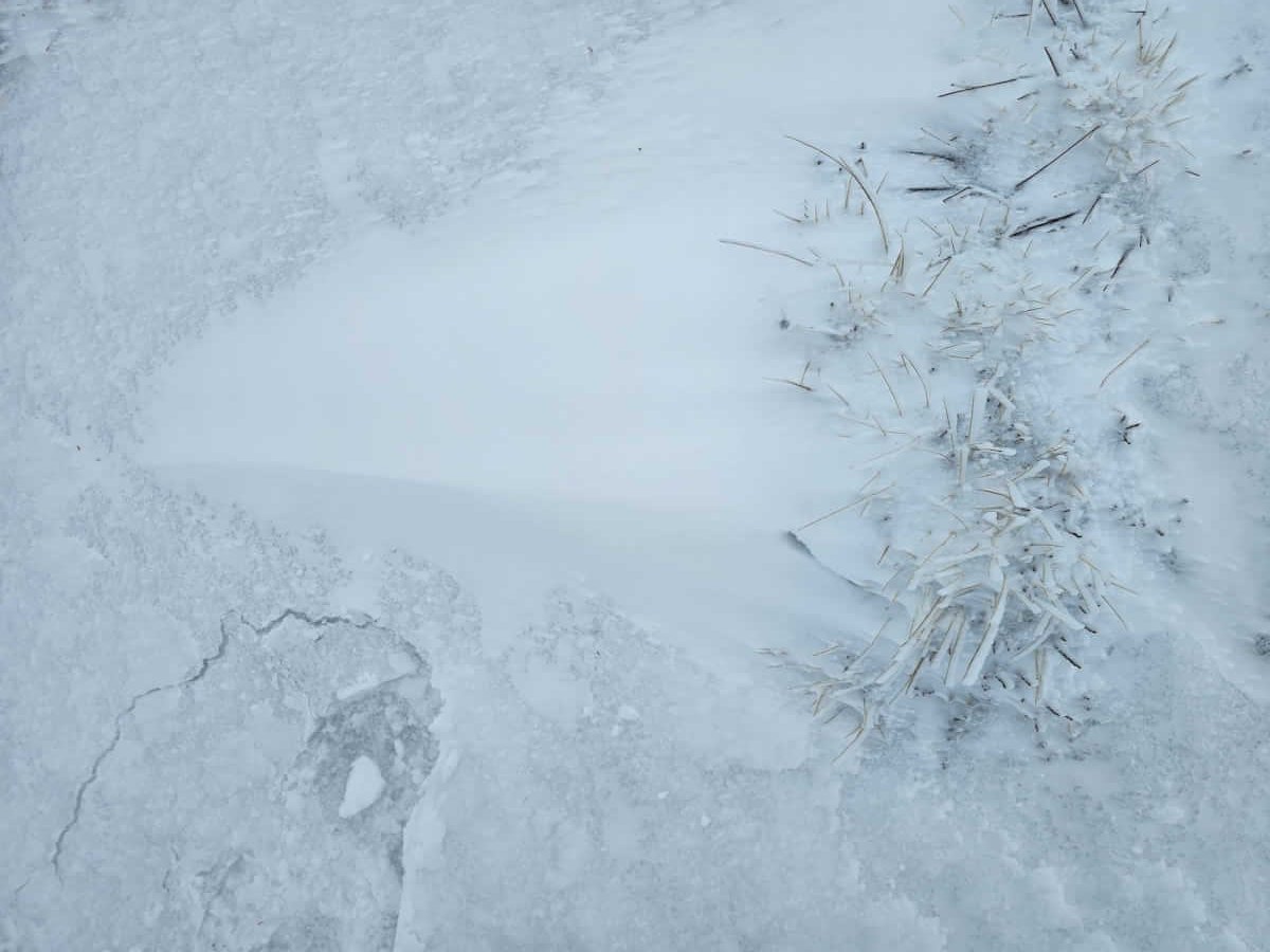
A refreezing existing snowpack, with a thin breaking crust, new snow gathering in the sheltered lee of the vegetation and new rime on the windward aspects of the grass.
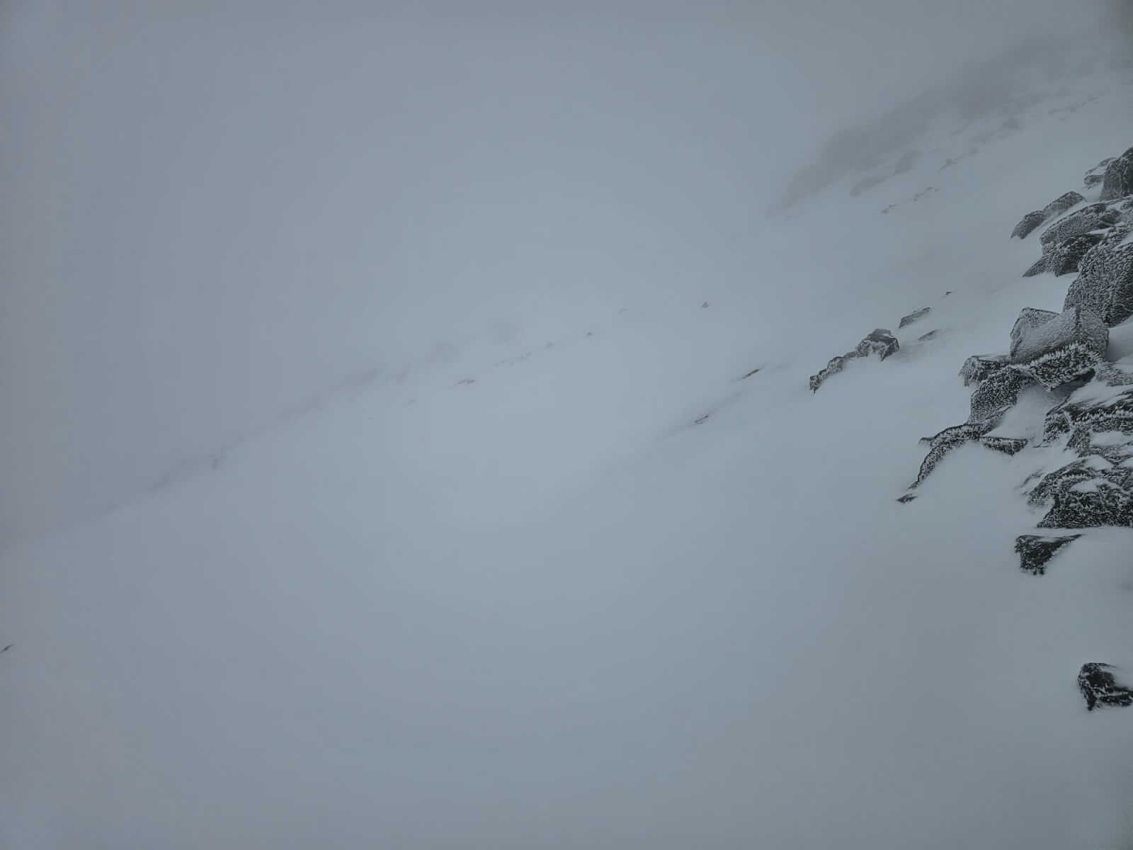
Higher elevations on Stob Coire Raineach, westerly aspects around 880 metres. Poor visibility, new snow on a frozen firm base.
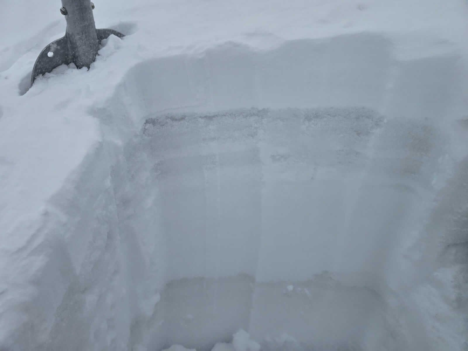
Some obvious layering in the snowpack around 880 metres, a good 10cm of fresh new snow.
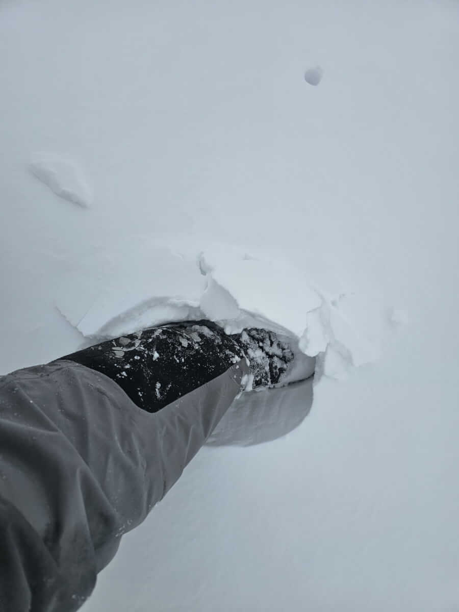
Some soft surface slab forming with the new snow especially in deeper accumulations, the new snow being reasonably bonded to the frozen crust of older wet snow.
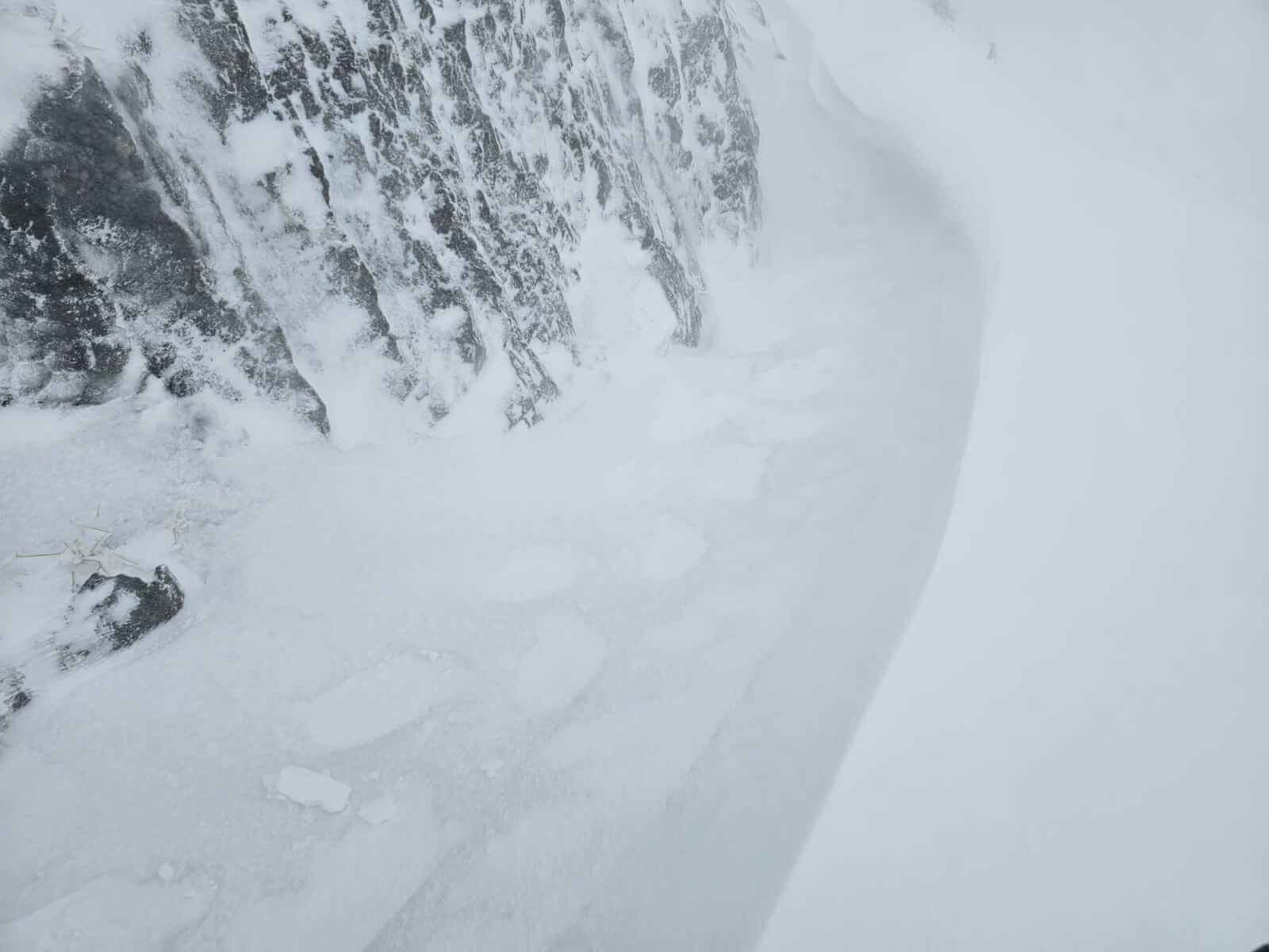
A wind sculpted drift formed around a small buttress from the variable wind directions at higher elevations. Here the wind was blowing uphill from a south-westerly direction.
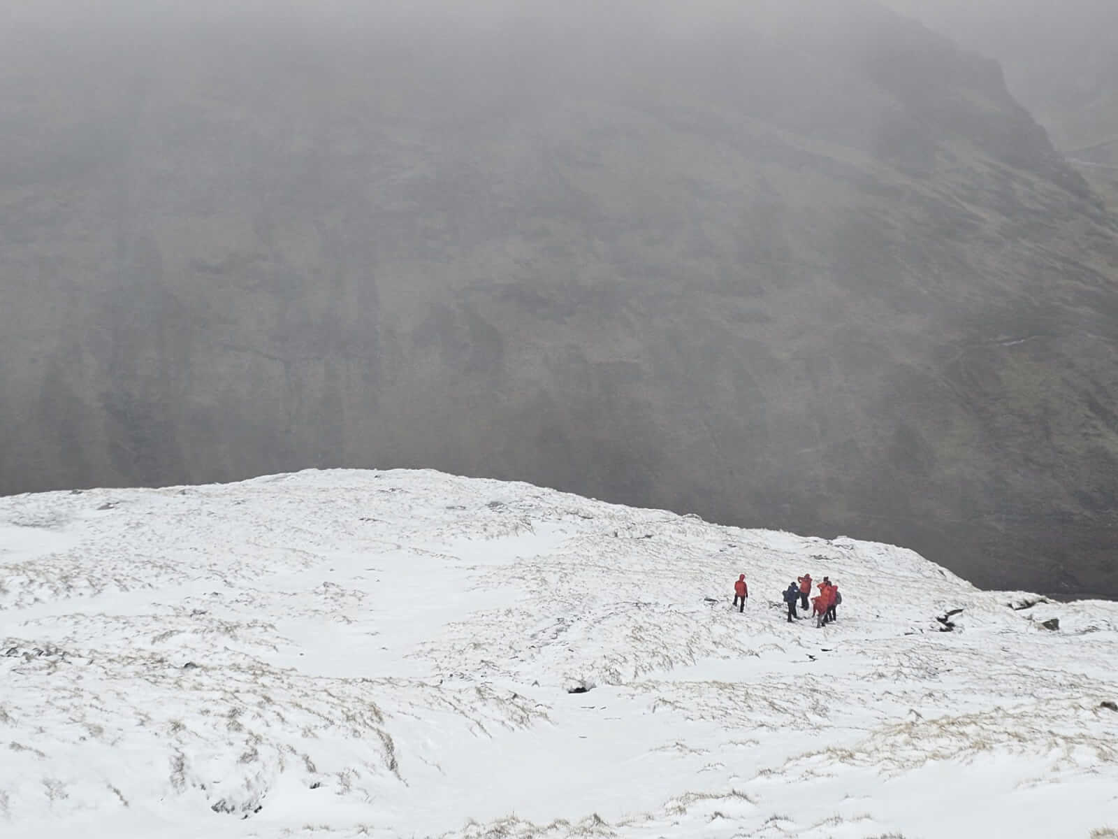
Several groups out and about on Buachaille Etive Beag. Good to meet team ‘Mountain Equipment’, who support the avalanche service, out with Plas Y Brenin.
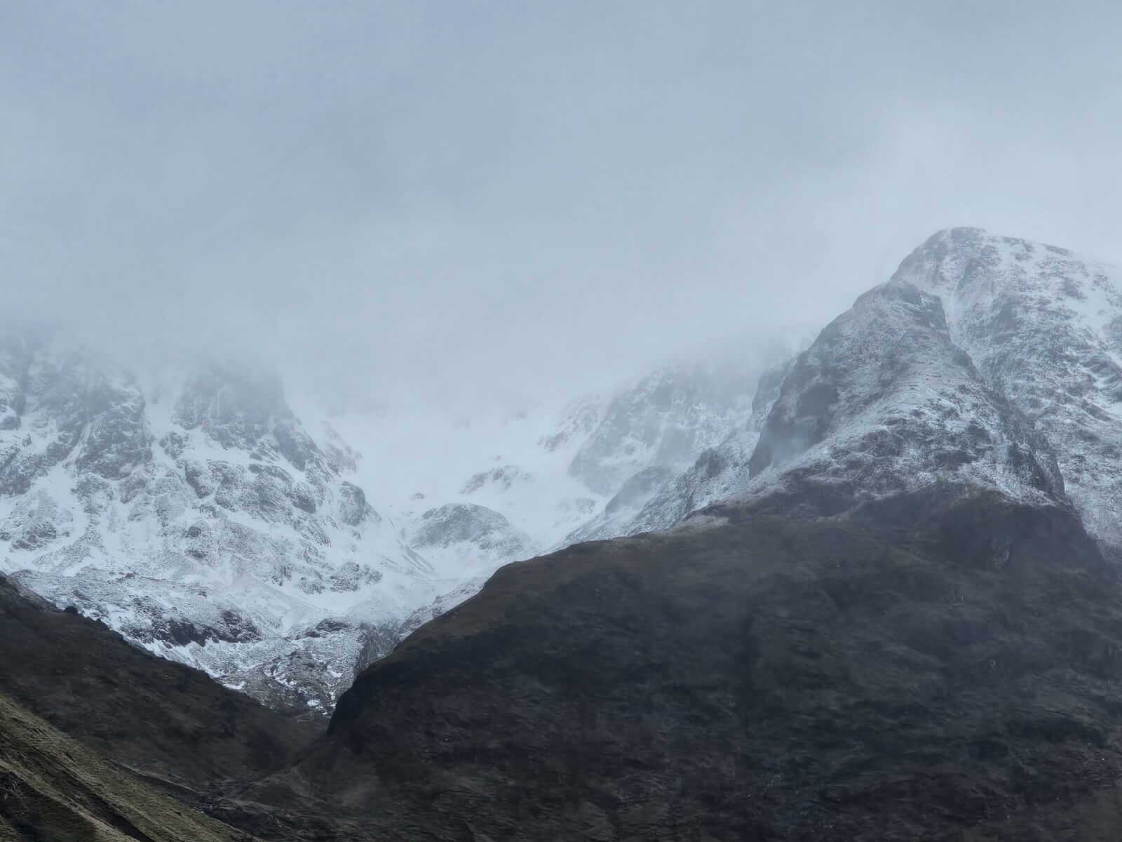
Glimpses into Stob Coire nam Beith around lunch time. Swirles of windblown snow around the corrie.
Comments on this post
Got something to say? Leave a comment


