Milder today
20th February 2026
After some fresh snow on strong South-westerly winds last night, today was a lot milder than recent days with the freezing level rising to around 1100 metres. However precipitation above around 950 metres fluctuated between snow and rain through much of the afternoon. Some avalanche debris was observed on the East aspect of Stob a Ghlais Coire, this most likely occurred when precipitation turned to rain. After some consolidation overnight heavy rain is forecast to all levels tomorrow, further wet snow instabilities are possible on steep slopes, particularity in the event of cornice collapse and all remaining cornices will be unstable.
Milder conditions than we have has recently are forecast to continue for the next few days although the freezing level is due to fall back to around 1000 metres on Sunday.
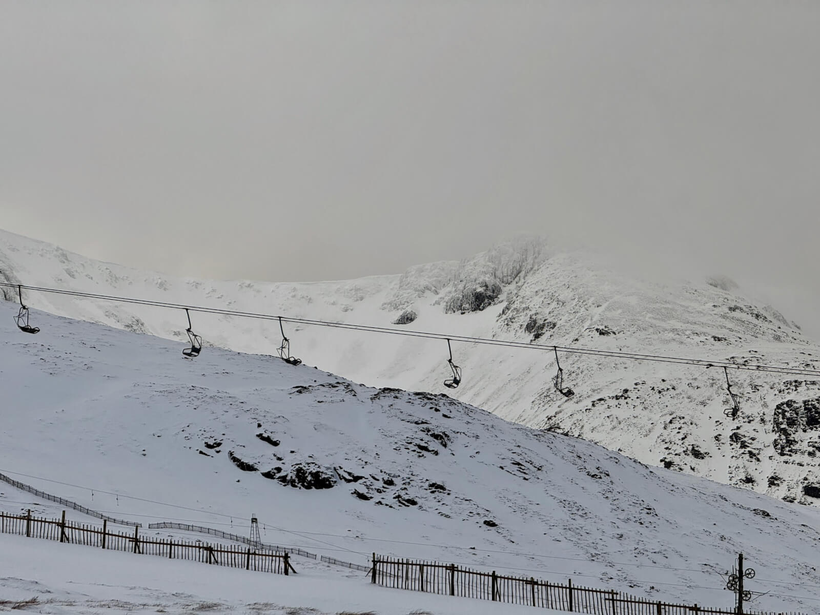
Looking past the chairlift to the East face of Stob a’Ghlais Choire, debris from 2 avalanches visible in the centre and cornices visible round the coire rim.
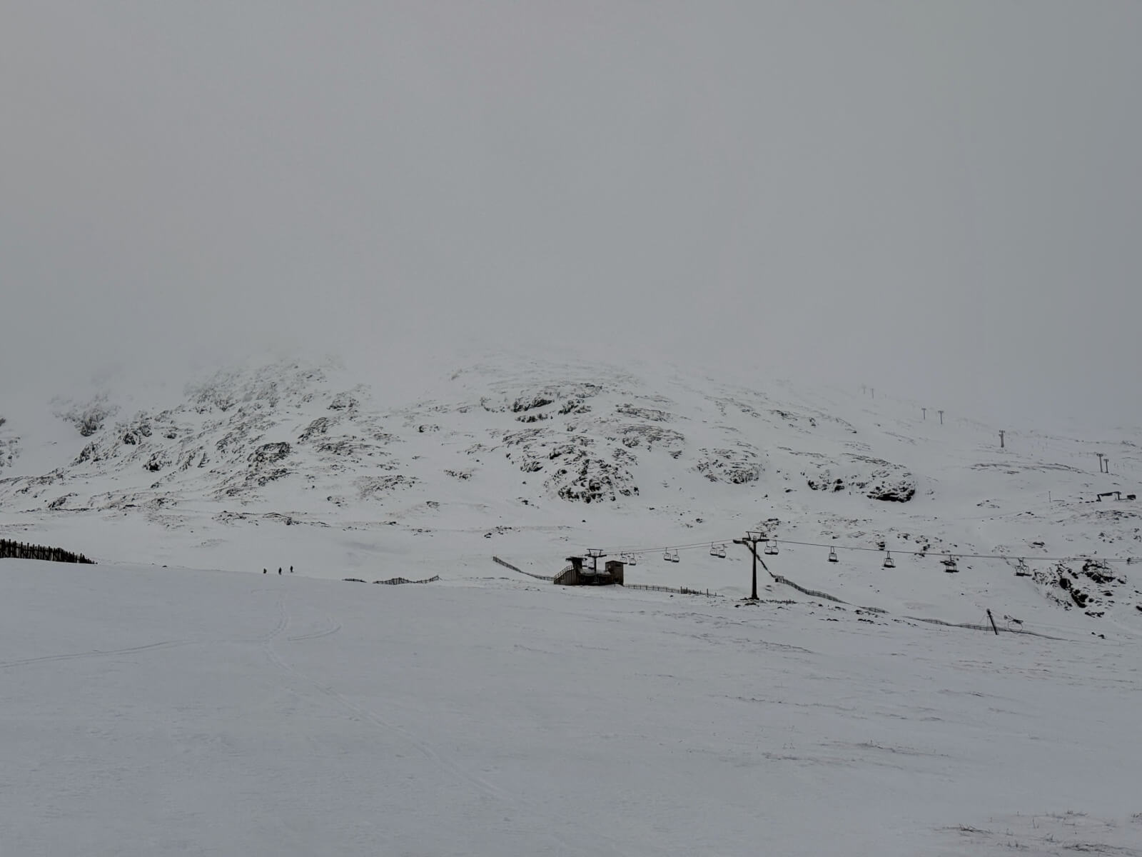
Looking up though the ski area at Meall a Bhuiridh the spring run in the centre and the main basin t bar on the far right.

The North-East face of Stob a Ghlais Coire

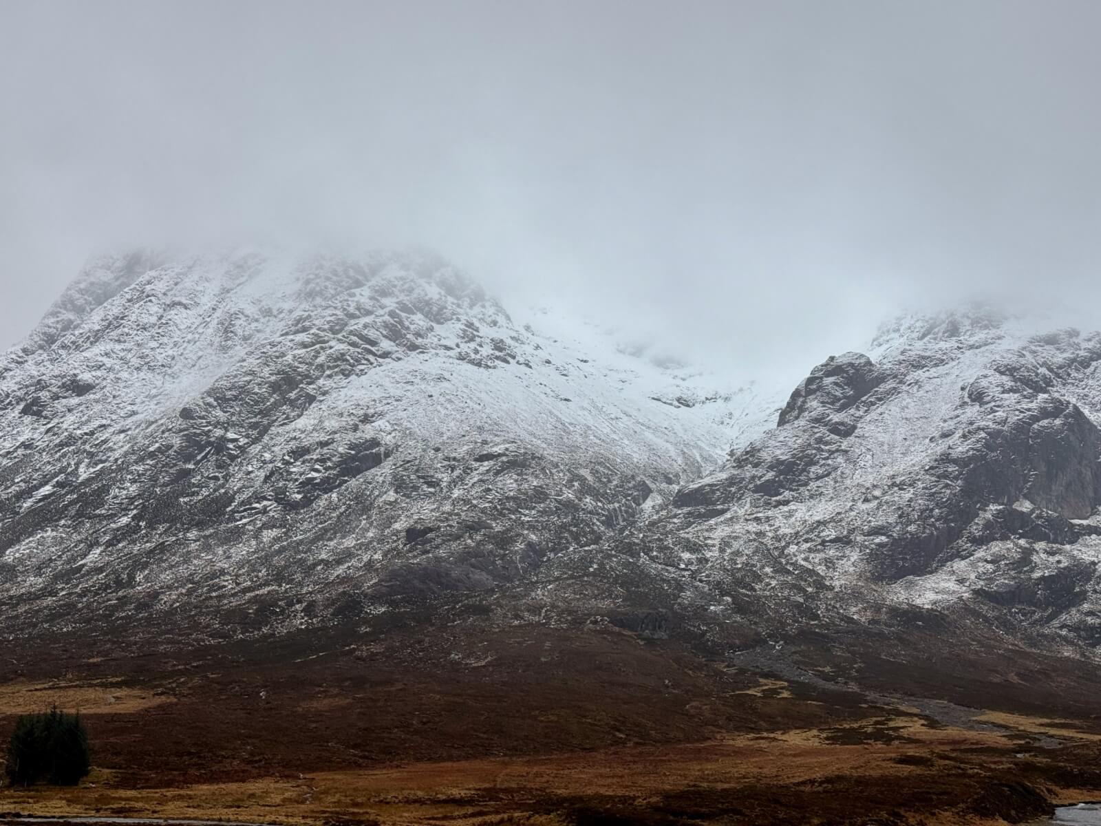
Stob Dearg on Buachaille Etive Mor
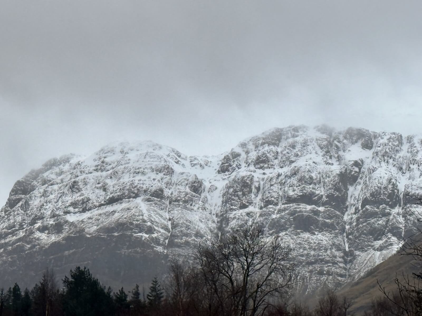
Coire na Tulaich, Buachaille Etive Mor
West face of Aonach Dubh
Comments on this post
Got something to say? Leave a comment


