Higher Freezing Level
8th March 2026
Dry and overcast today with some brighter spells, again persistent summit cloud. Not as cold with the freezing level around the highest summits, at 11am zero degrees at 1100 metres. Moderate South-Easterly winds. As expected with the higher freezing level, the snowpack is beginning to soften though given the notably hard and frozen snowpack from recent conditions, this change is slow. At higher elevations about a centimetre of soft wet snow, lower down maybe a couple of centimetres, on top of hard and icy. Stability is generally good.
Thawing conditions continue into tomorrow with patchy rain and sleat on the high summits.
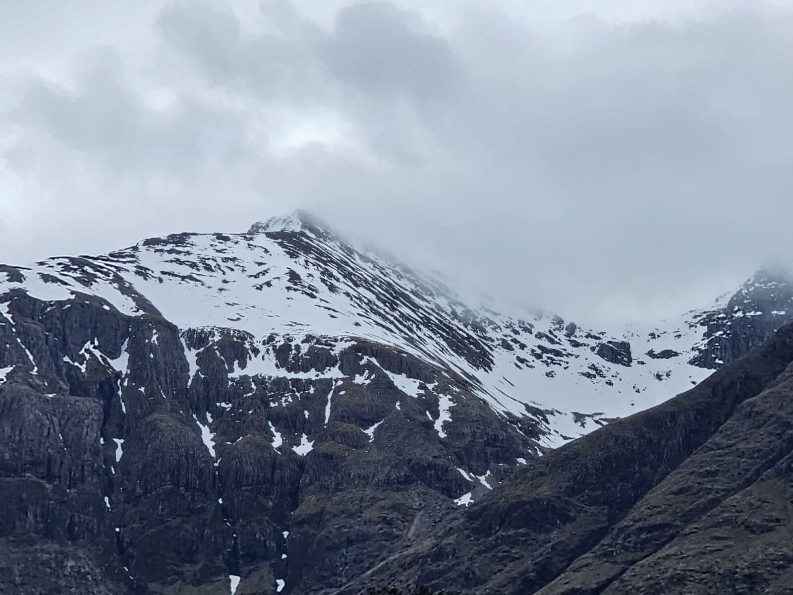
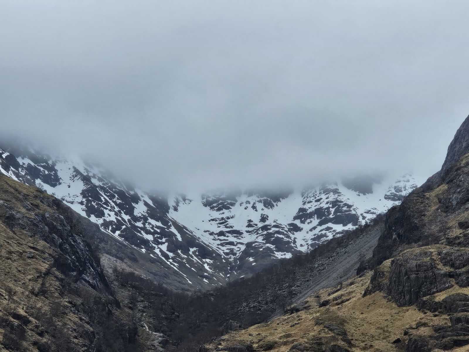
Summit of Stob Coire nan Lochan across the bealach to a cloudy Bidean nam Bian. West and North-West aspects.
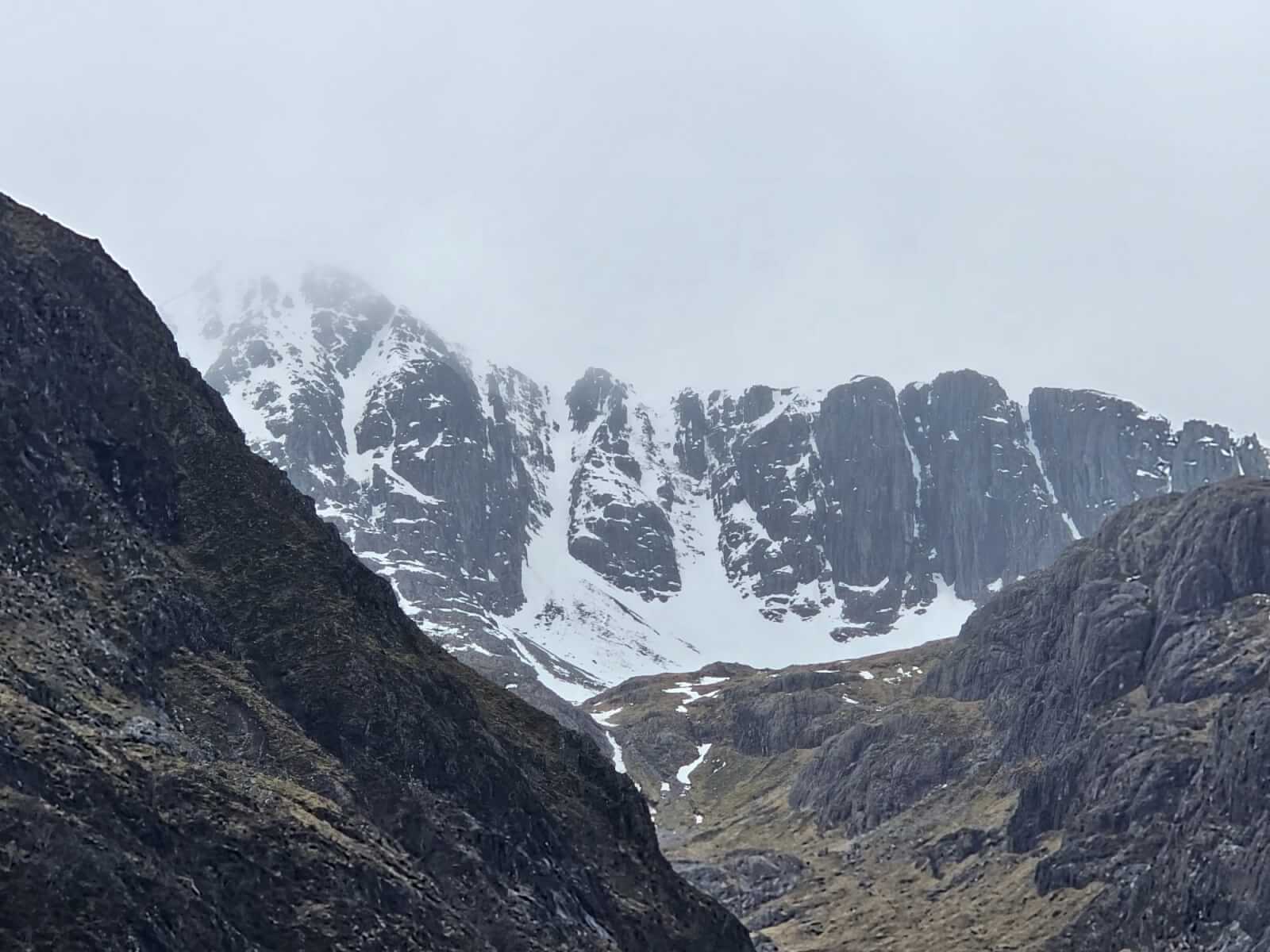
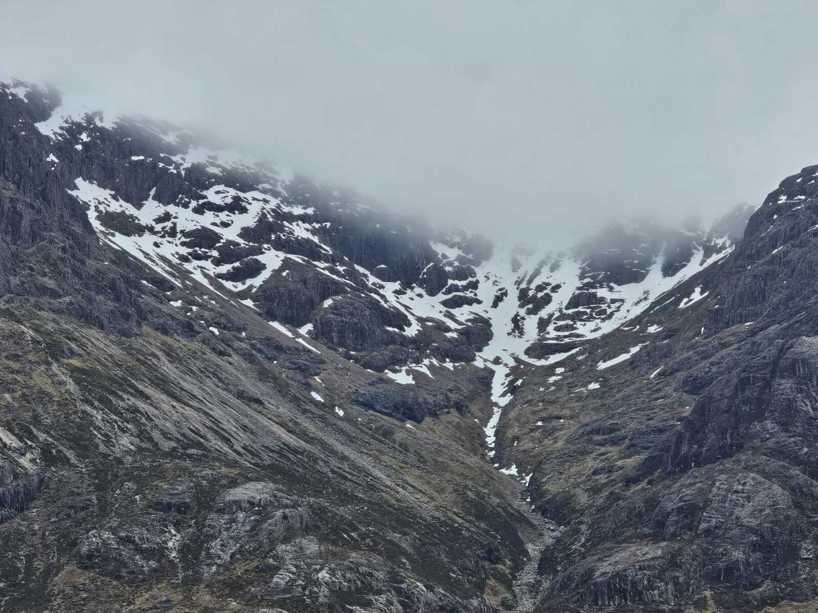
North-East aspects into Coire nan Lochan, again today higher summits remaining generally cloud covered.
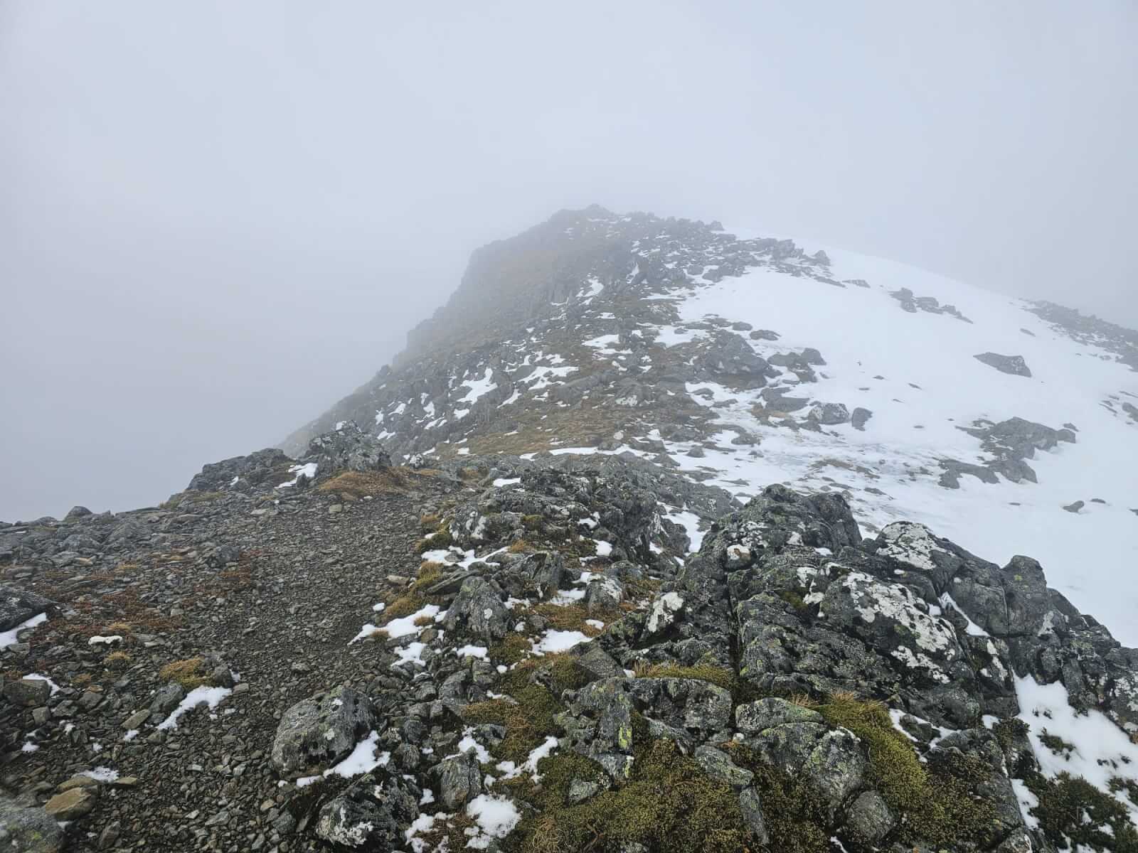
No change on the summit of Meall a Bhuiridh except some surface softening.
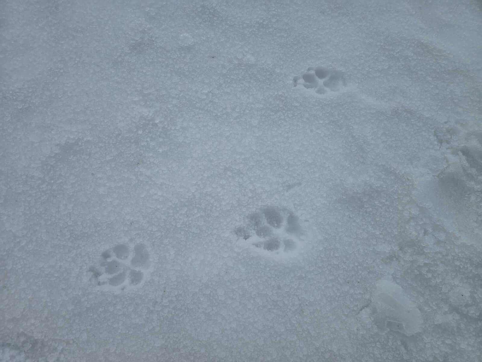
Some fresh doggy footprints in the softening surface. 1100 metres around the freezing level.
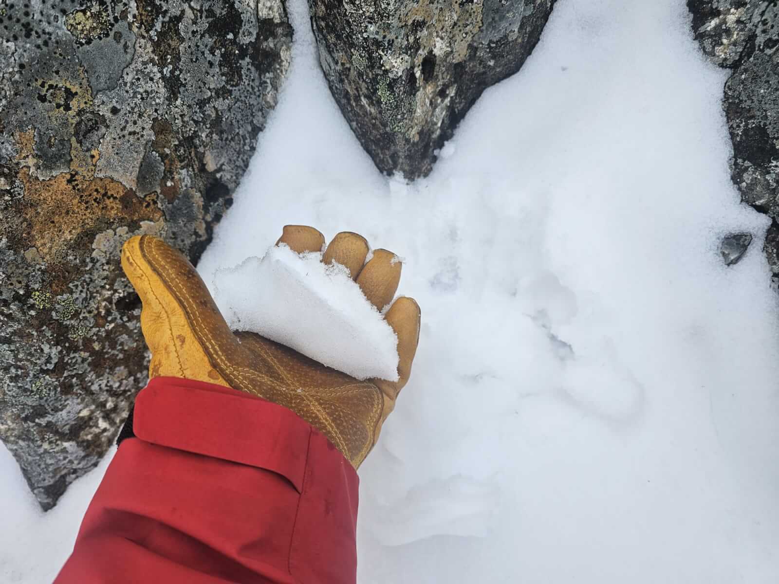
Yesterday’s pockets of soft snow now consolidating and becoming wetter. Good snowball snow.
Coire na Tulaich.
Lost Valley buttress’s.
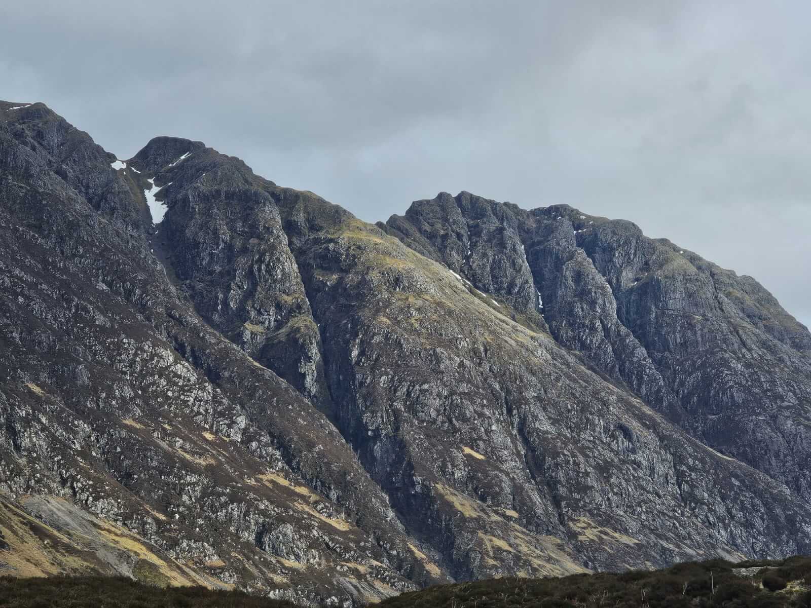
Only limited remaining snow patches on the Aonach Eagach ridge.
Comments on this post
Got something to say? Leave a comment