Firm despite the rain.
10th March 2026
Firm snow above 900 metres, despite the rain softening the snow surface. A notable trace of new wet snow above 1000 metres.
A milder and damper day than yesterday with the clouds shrouding the high coires. The snow will no doubt be hanging on at higher levels, the largest continuous areas being found on North-West through North to East aspects above 870 metres.
On Wednesday the freezing level will lower to around 800 metres this will start to refreeze the moist snowpack leaving it firm and icy in many places with serious consequences in the event of a slip or trip.
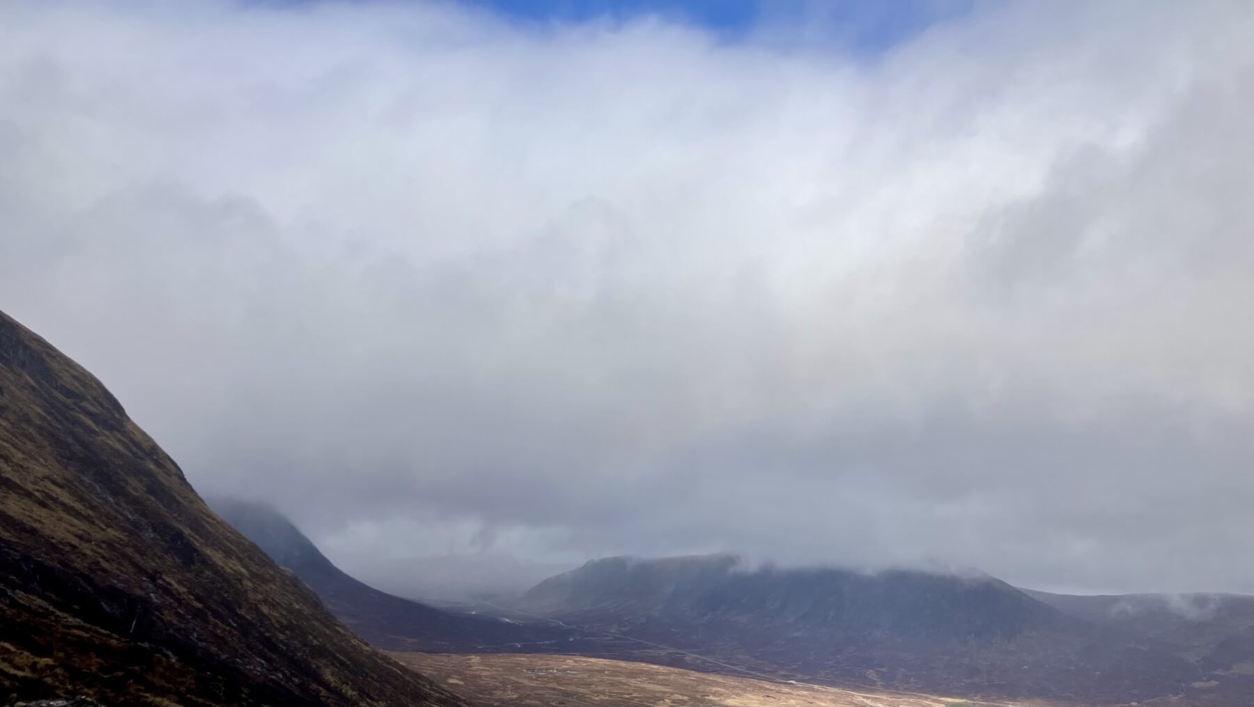
The view down to Altnafeadh and the Devil’s Staircase on Stob Mhic Mhartuin. A marked contrast between the breaks in the cloud over the Rannoch Moor and today’s pervasive dreich of Glencoe.
The Aonach Eagach viewed from the Achnambeithach Bridge.

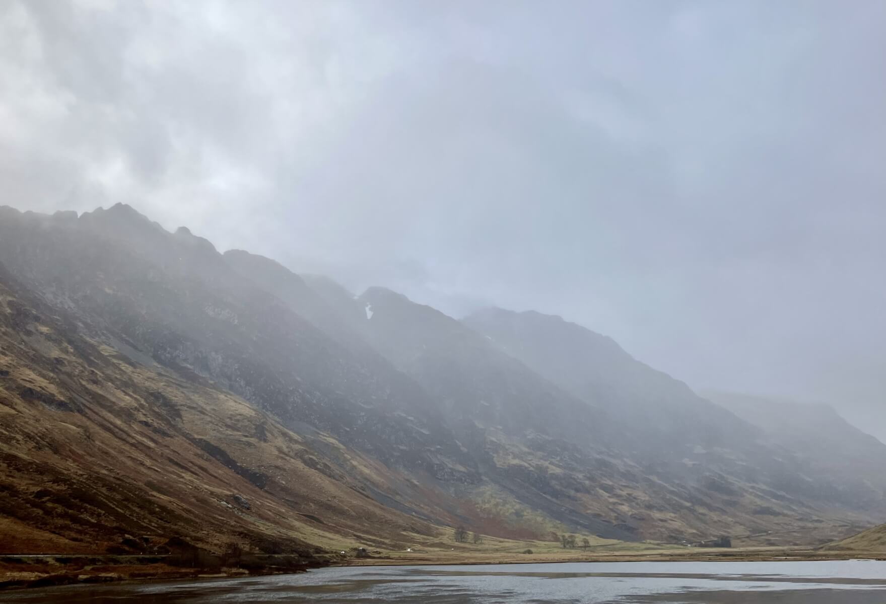
A similar shot to yesterday looking towards Stob Coire nam Beith.
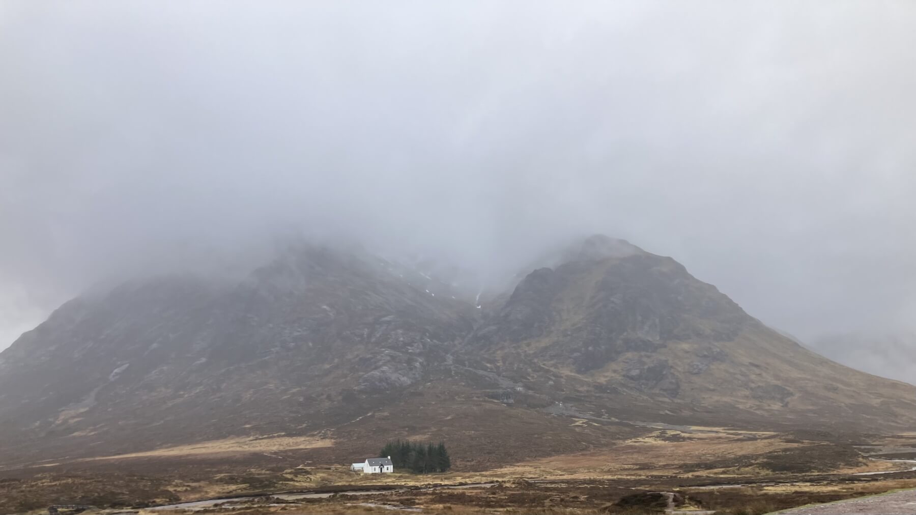
Lagangarbh and Coire na Tulaich.
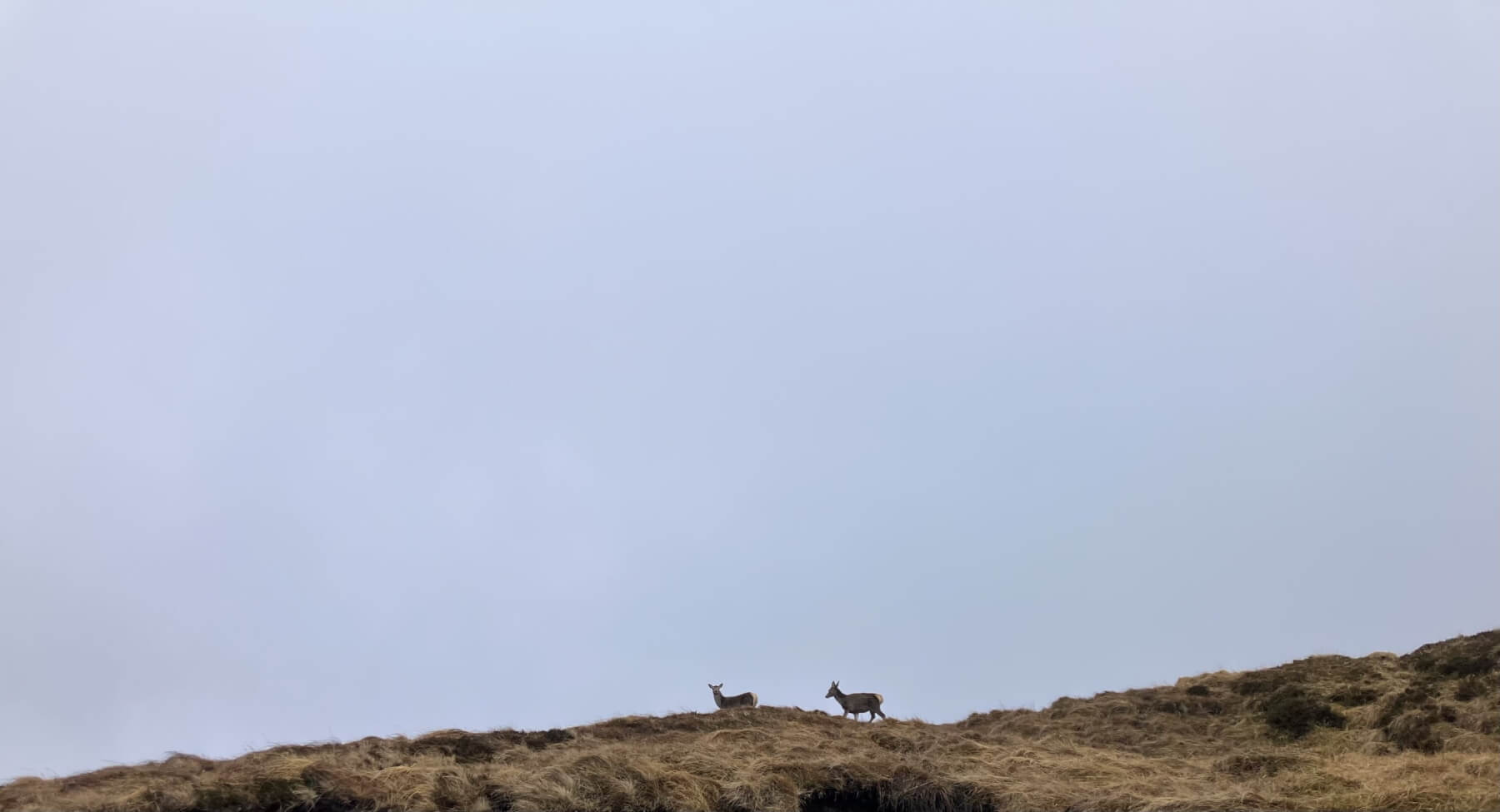
Deer on the lower slopes of Meall a’Bhuiridh.
Comments on this post
Got something to say? Leave a comment


