Back to Winter?
12th March 2026
Mild conditions with rain and sleet overnight affected the area. A return to colder conditions through the afternoon saw the freezing level lower to around 800 metres. It will remain cold overnight and through Friday with new snow and generally South-Westerly winds. Unstable windslab will form in wind sheltered locations with potential for fragile cornices in similar areas.
With a return to colder conditions the older snow will re-freeze becoming firm and icy in places. Uncontrolled slips and falls could have serious outcomes.
See report for more details.
Limited photo opportunities due to poor visibility.
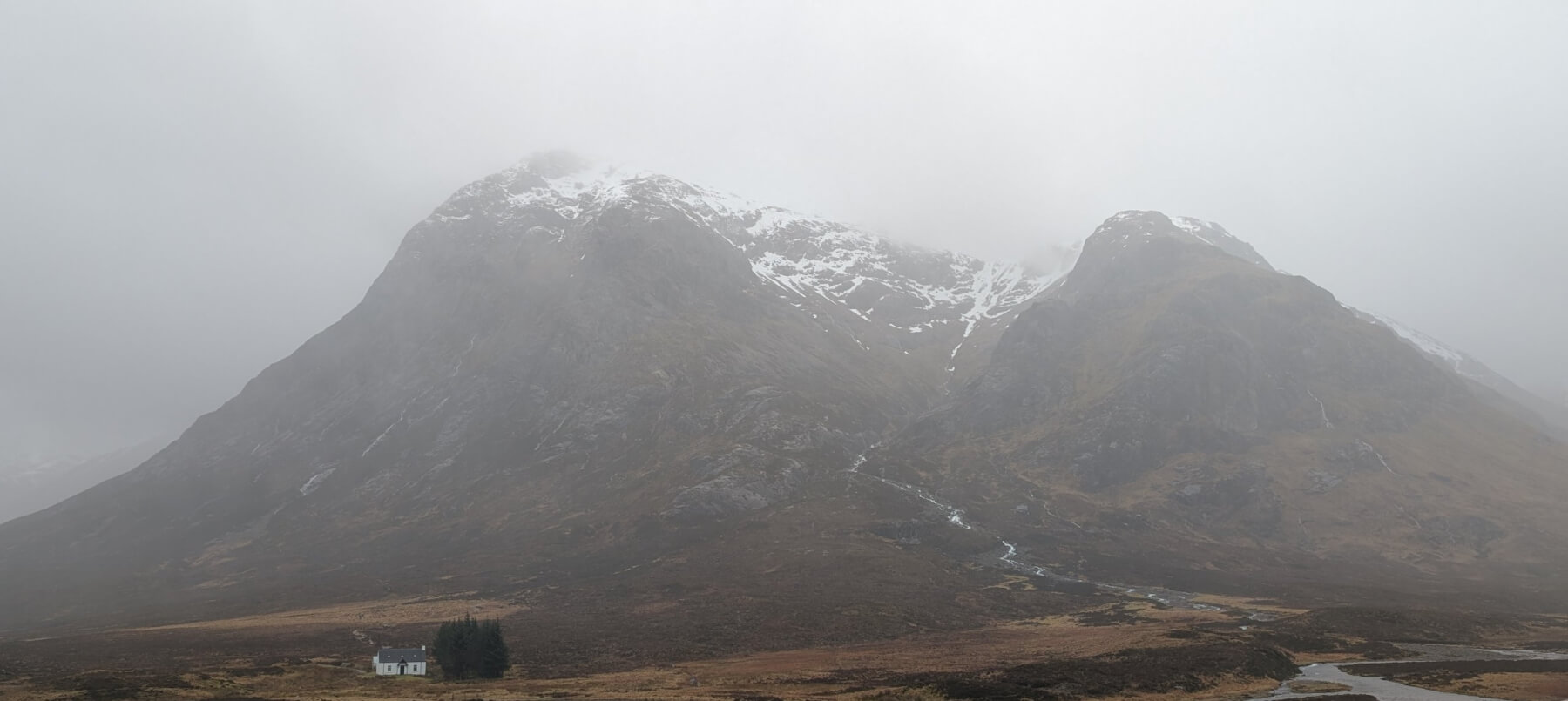
Stob Dearg, Buachaille Etive Mor and Coire na Tulaich.
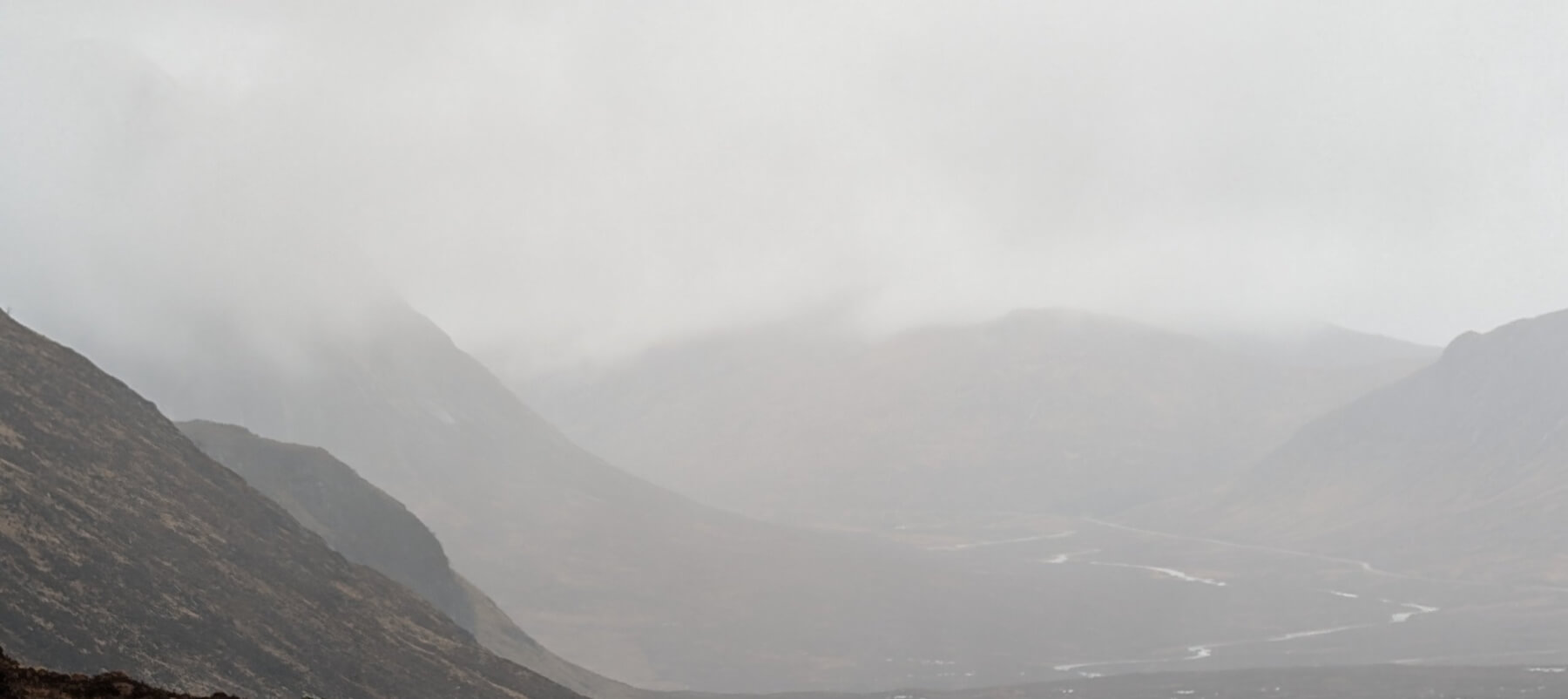
Looking westwards towards Glen Coe with Stob Dearg, Buachaille Etive Mor on the left.
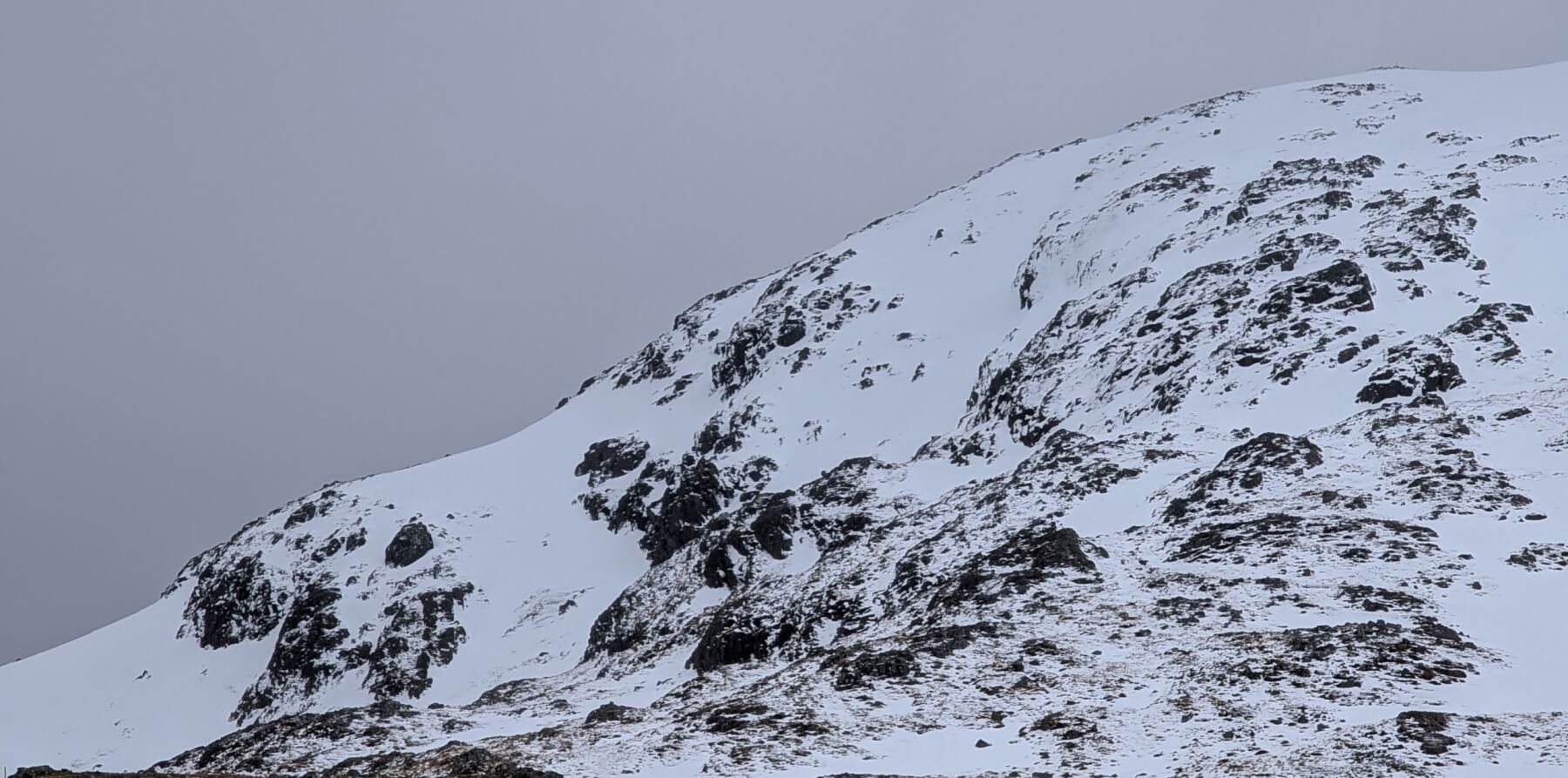
Easterly aspects of Meall a Bhuiridh.
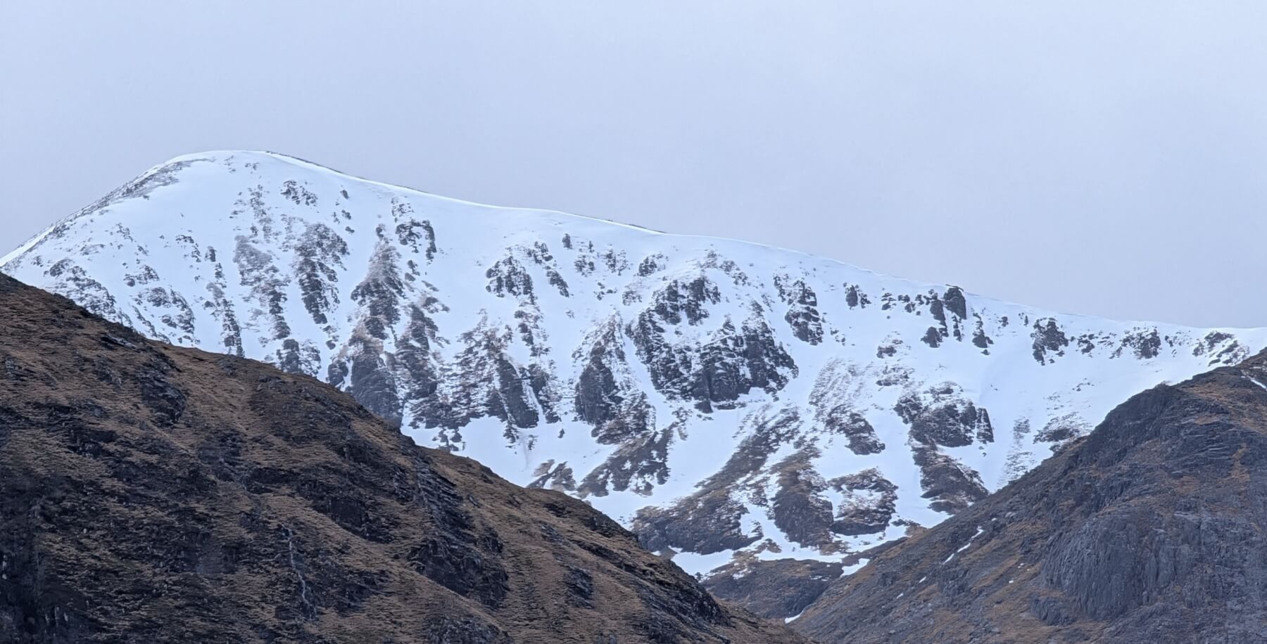
Creise.
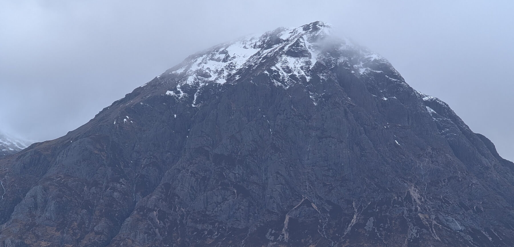
Stob Dearg, Buachaille Etive Mor..
Comments on this post
Got something to say? Leave a comment


