New snow and strong winds.
13th March 2026
New snow fell overnight and today, strong winds mainly from the South-West have formed some deep drifts and areas of unstable windslab in wind sheltered locations mainly above 800 metres. Outlook is remaining cool with more snow overnight and on Saturday. Windslab will remain unstable where deeper accumulations exist. The older snow where exposed is firm and icy in places.
See report for more details.
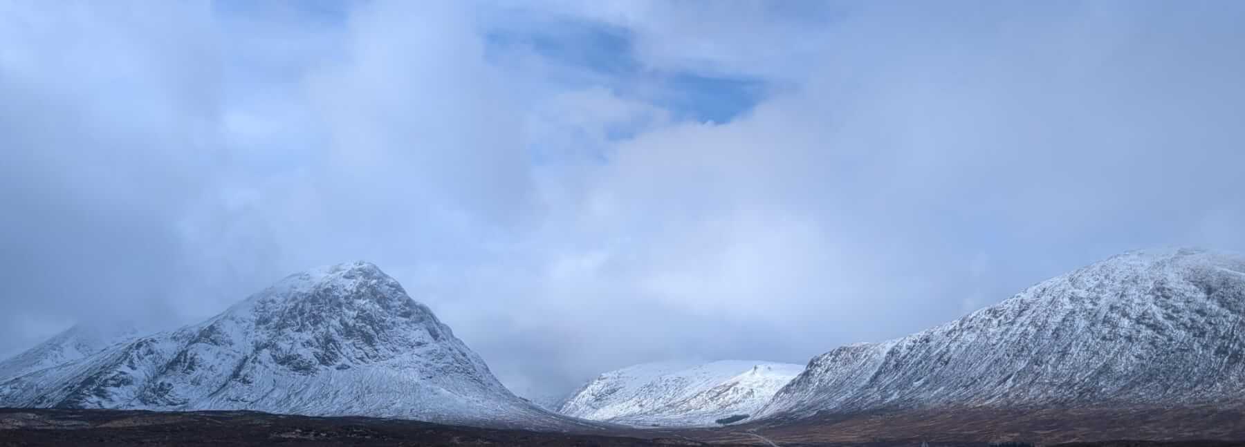
Stob Coire Raineach, Buachaille Etive Beag.
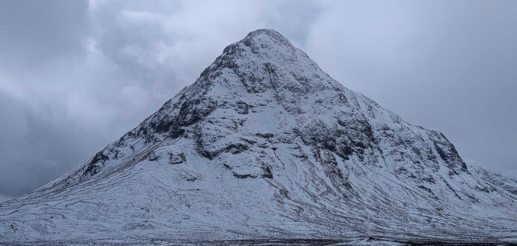
Stob Dearg, Buachaille Etive Mor on the left.
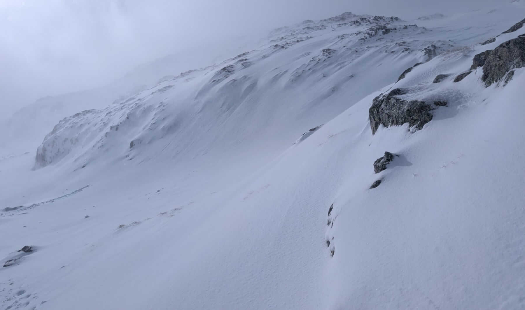
Drifting snow at 900 metres Meall a Bhuiridh.
Three Sisters of Glen Coe.
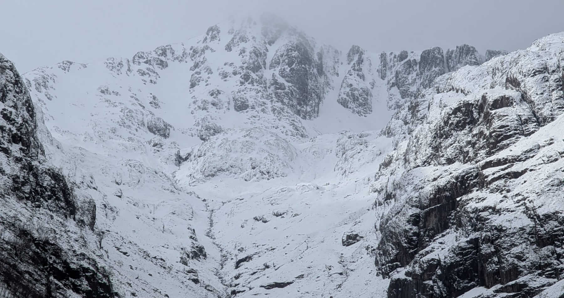
Stob Coire nan Lochan.
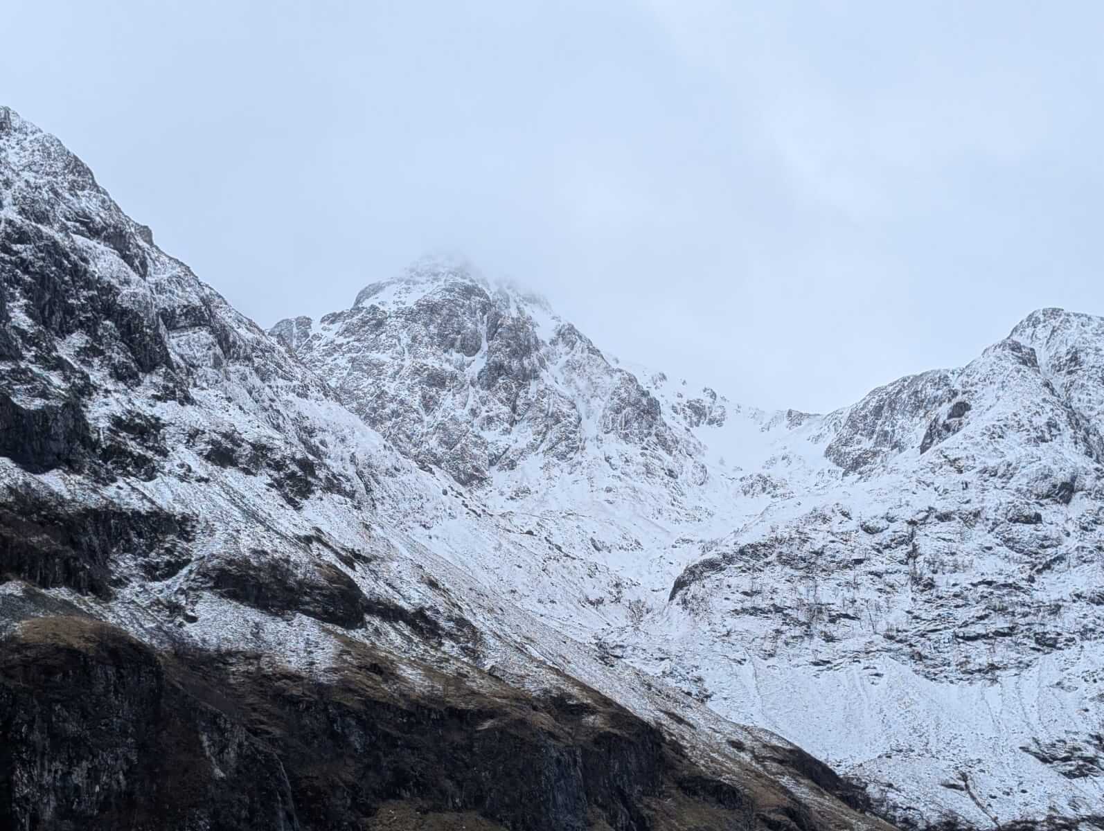
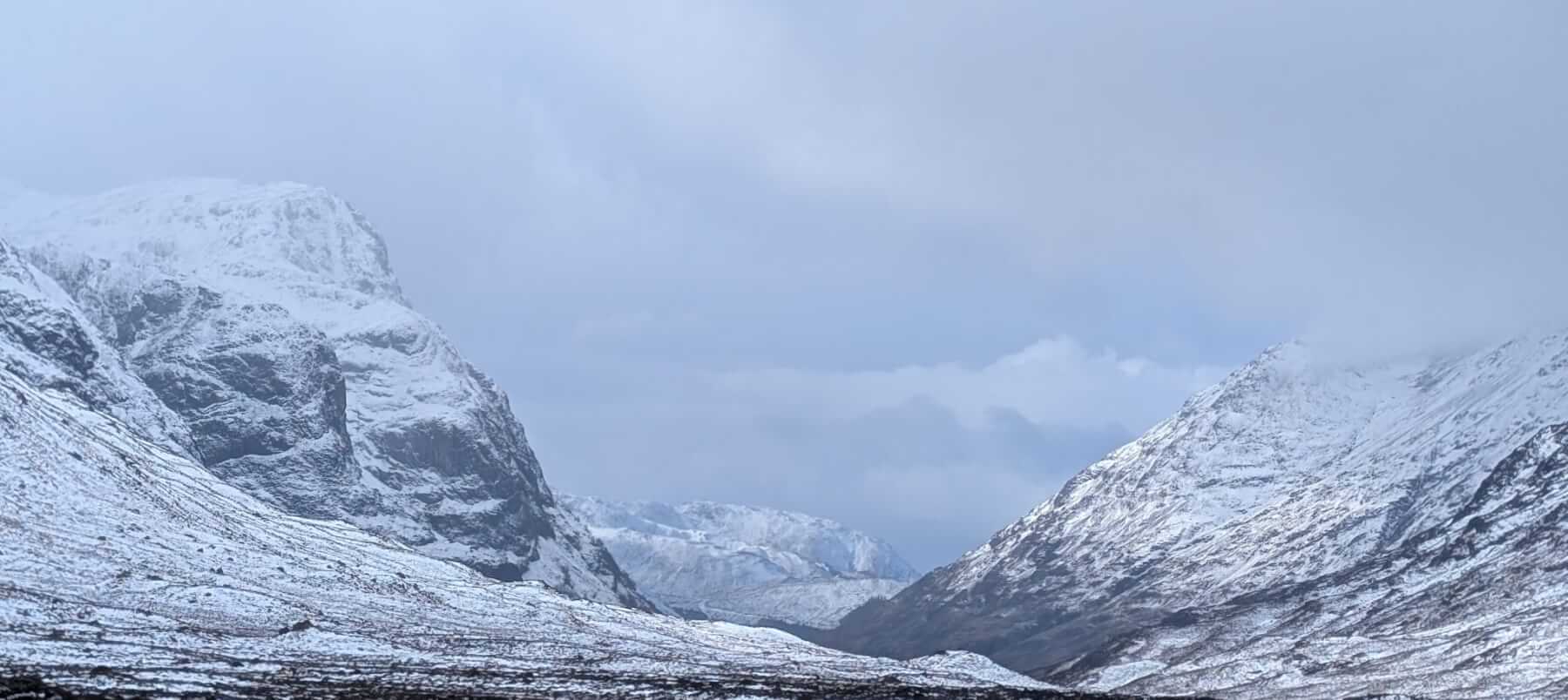
Stob Coire nam Beith left An-t-Sron right.
Comments on this post
Got something to say? Leave a comment