Quick Thaw Followed By New Snow
15th March 2026
Damp today with rain and wet snow showers at most elevations, some brighter intervals between the showers. The freezing level dropped back to around 600 metres following a rise above the summits around dawn. Winds were fresh to strong from the South-West. The snowpack was wet and generally soft at all elevations, significantly thawing and diminishing at lower elevations. Snow showers were depositing new snow on most elevations with the strong gusty winds redistributing snow into wind sheltered locations, steeper aspects on ridges and around corrie rims. Whilst the existing snowpack had thawed and consolidated with generally improved stability, in deeper accumulations, existing windslab instabilities remain where the thaw had not penetrated, deeper snow temperatures being colder than the surface.
Further fresh windslab into the forecast period will continue to build from showers and redistribution. During the afternoon, as the freezing level again rises above the summits with rain at all elevations, there will be increased wet snow instabilities. Cornices will be fragile and prone to collapse as they become saturated.
Rain Monday night into Tuesday for the area. UK wide temperatures are getting warmer by the middle of the week.
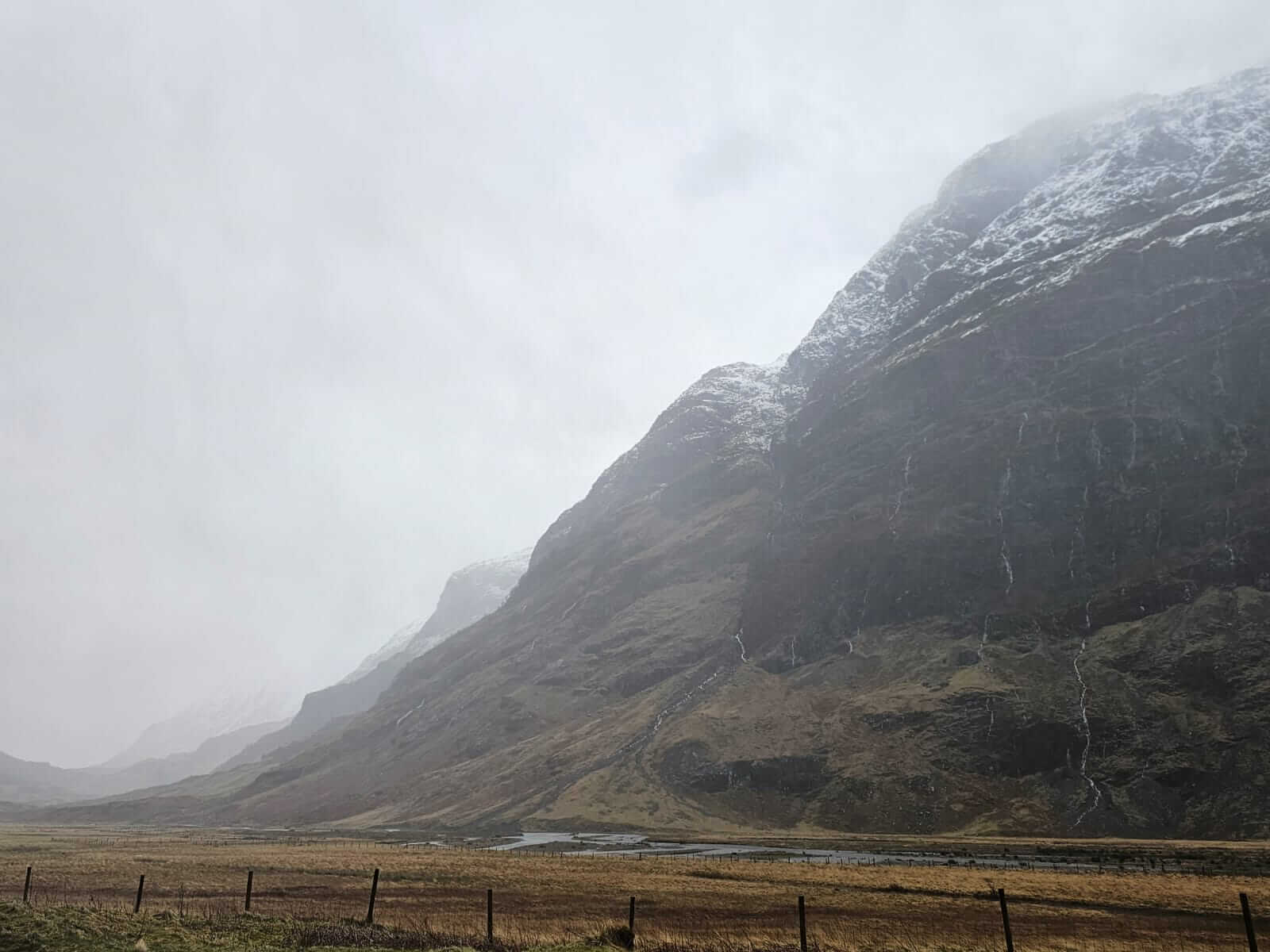
A dreich start to the day, cloudy with rain at lower elevations.
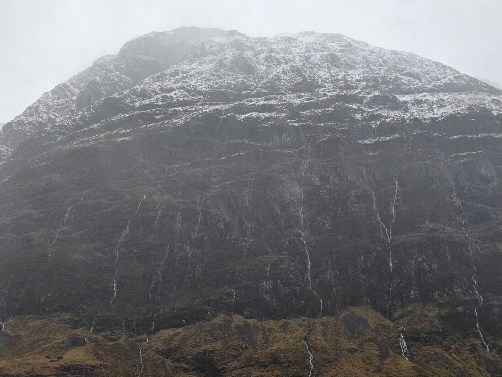
Ribbons of rain and melt water, new wet snow accumulations above, Aonach Dubh.
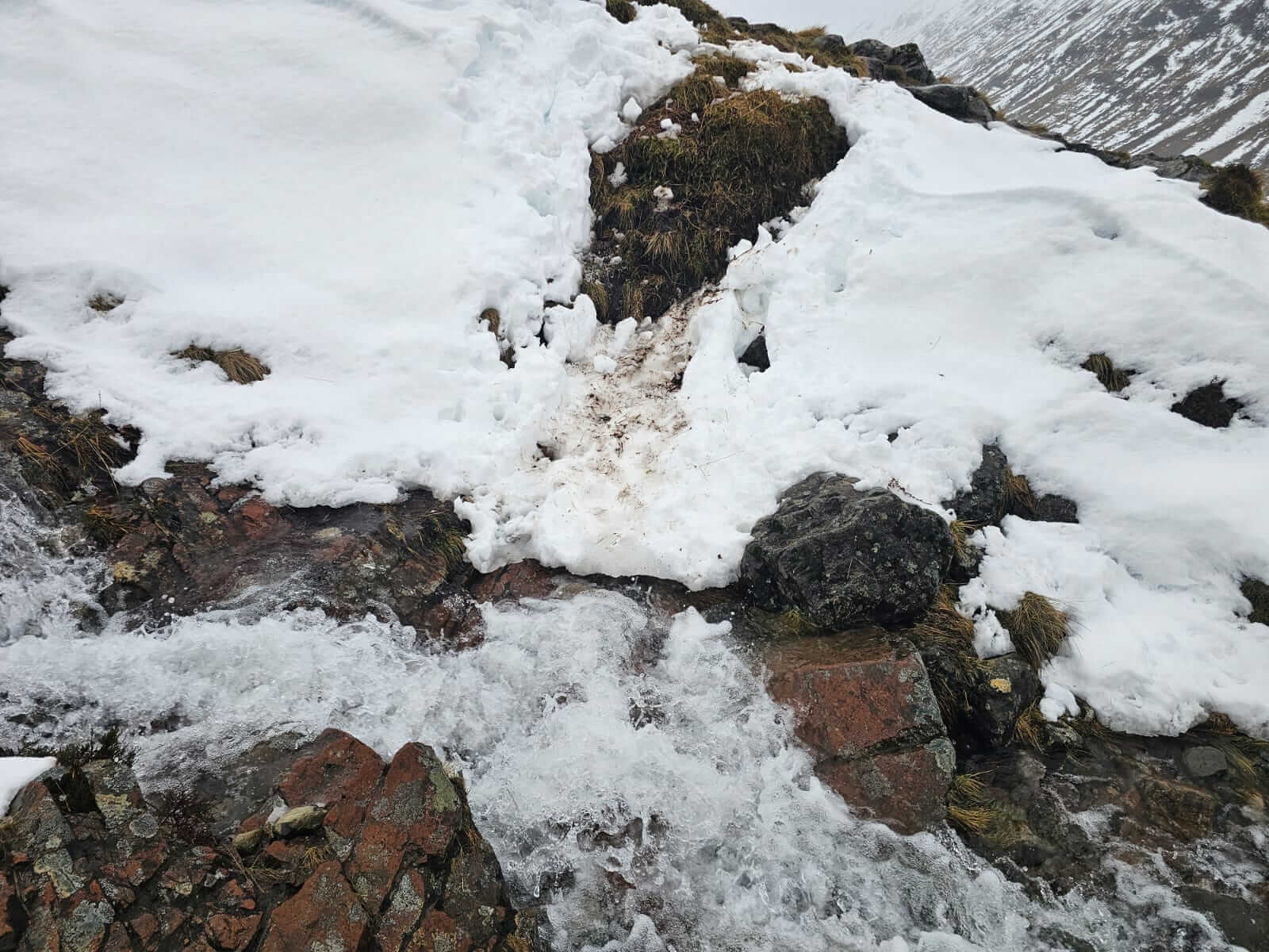
Thawing snow from the last few days making stream crossing unpredictable with collapsing snow and increased flows.
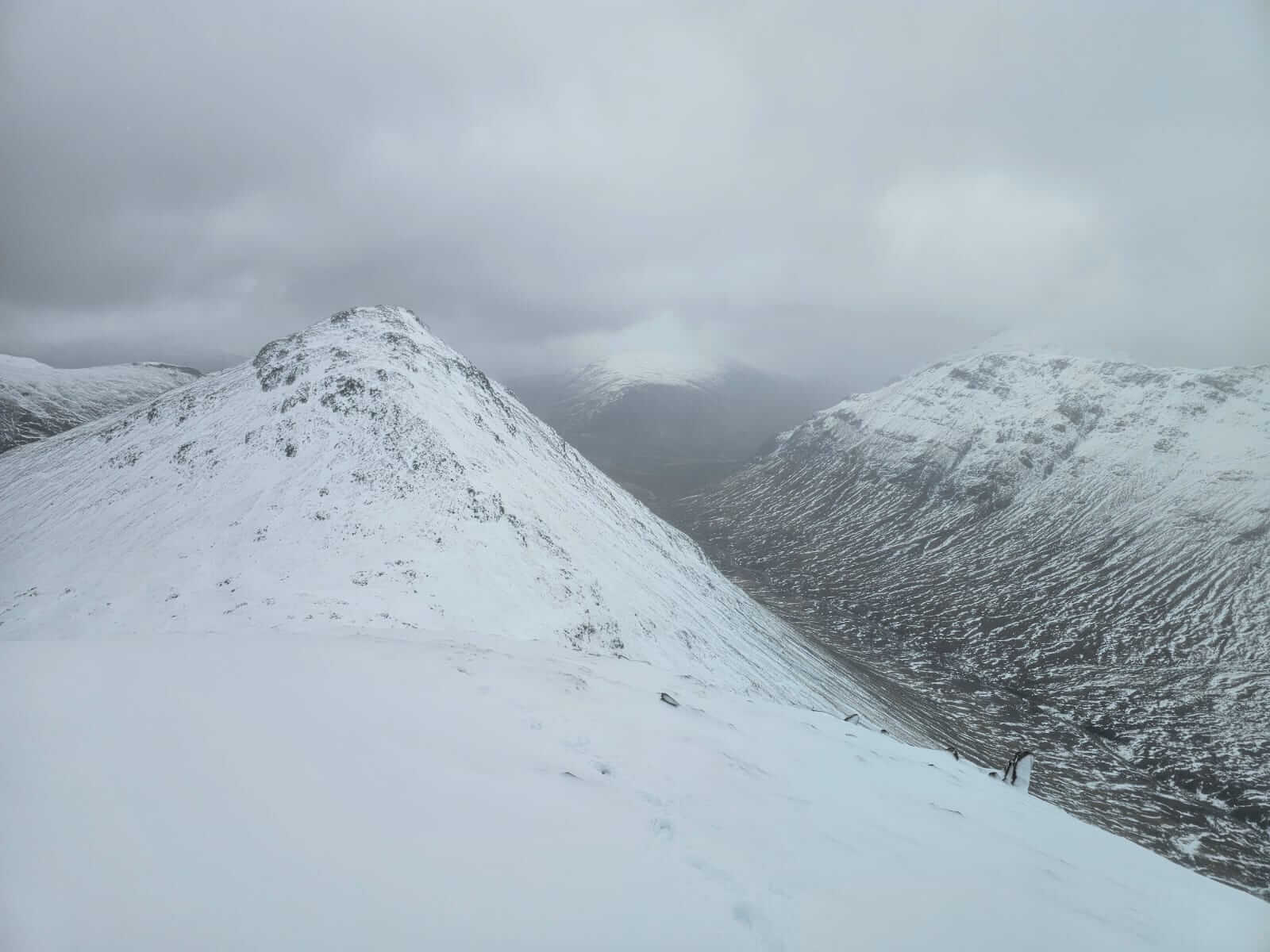
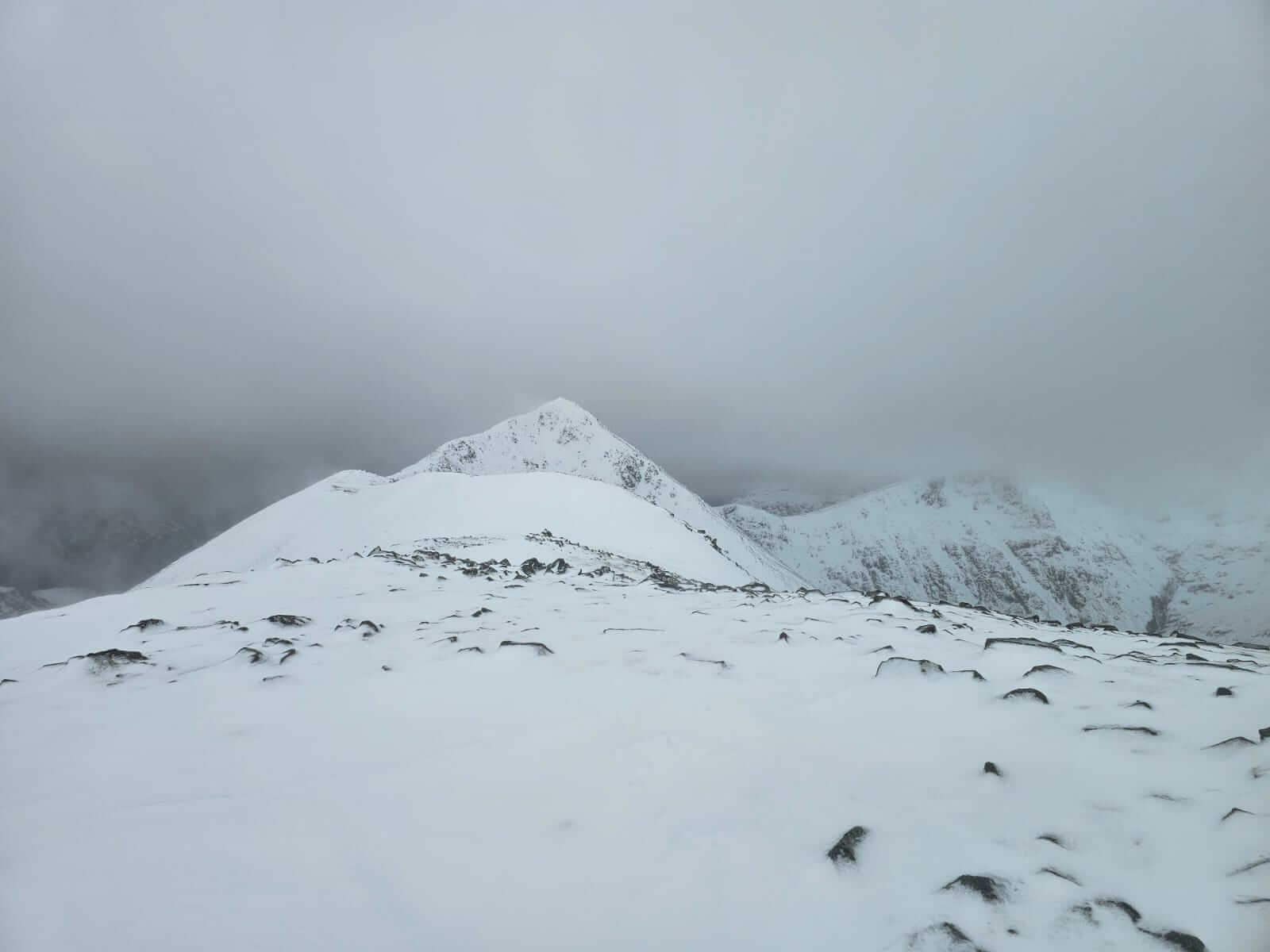
Looking back towards Stob Coire Raineach, Buachaille Etive Beag…
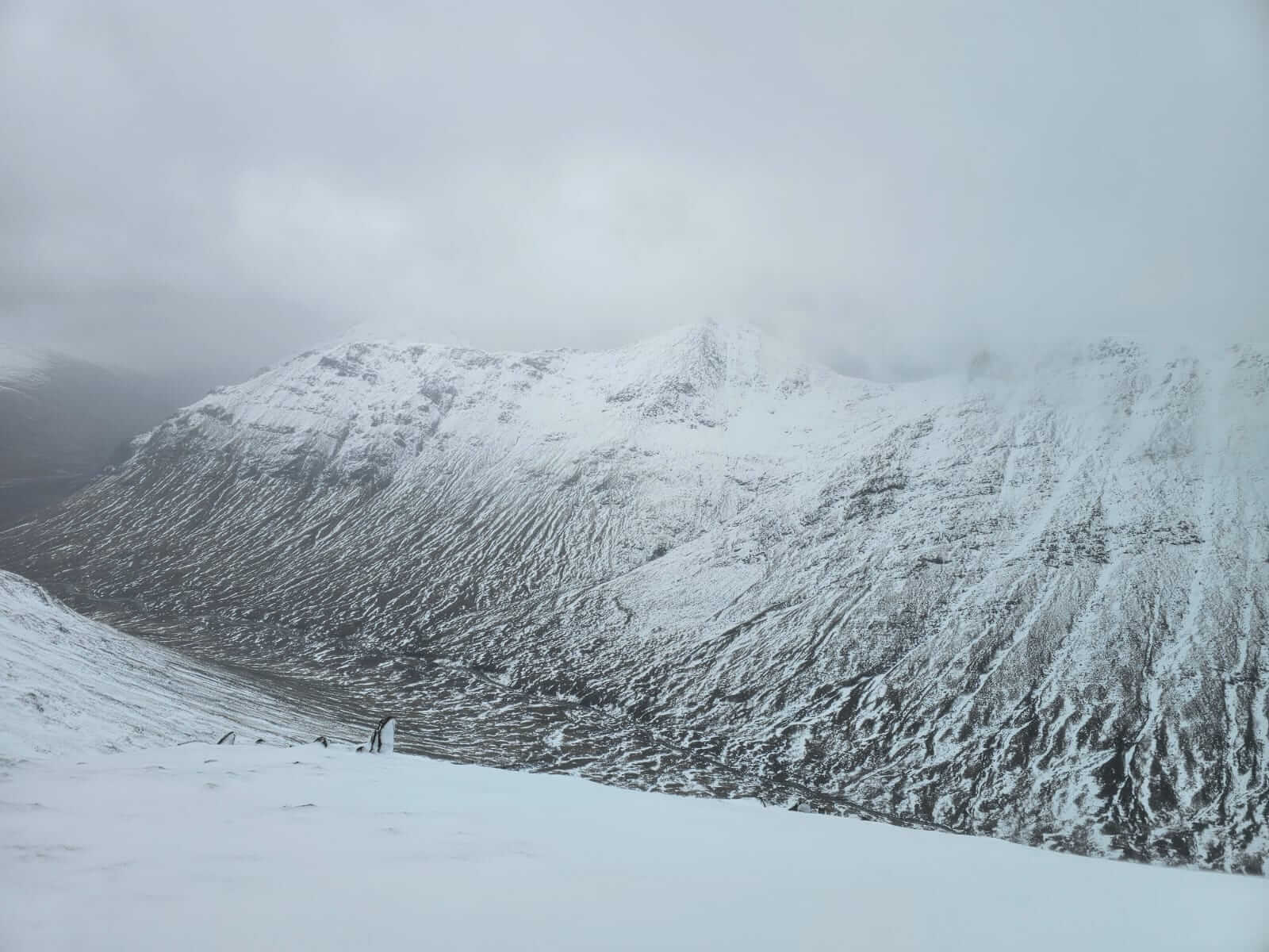
…and on towards Stob Dubh, Buachaille Etive Beag. A generally wet snow pack with fresh accumulations forming. Not obvious on the picture but plenty of spin drift over the ridge.
View across to Buachaille Etive Mor.
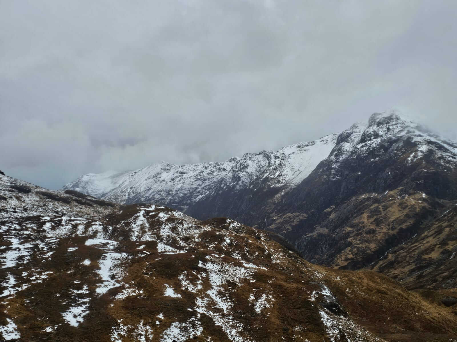
Back down the Glen along the Aonach Eagach ridge.
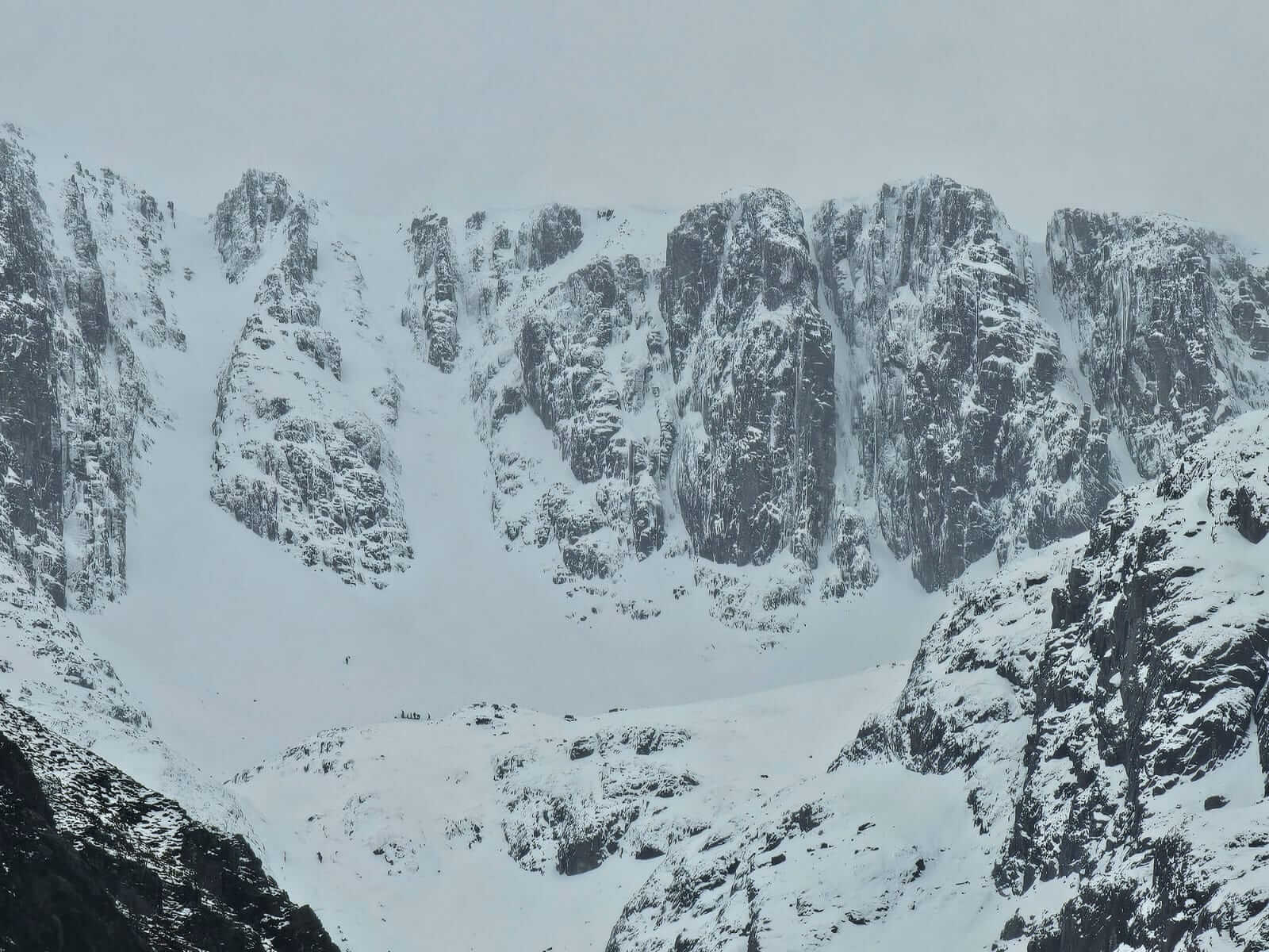
Gullies and Buttresses in Coire nan Lochan with climbing parties kitting up.
Comments on this post
Got something to say? Leave a comment