Colder conditions.
23rd March 2026
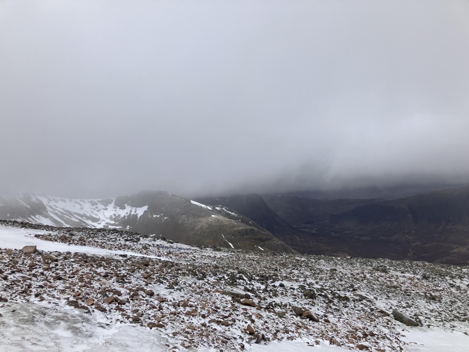
Last night the moist soft snowpack refroze and a dusting of new snow fell mainly above 800 metres. Cloudy above 900 metres today with fresh to strong Southerly winds. The freezing level was around 800 metres. Last nights new snow accumulations were not significant merely a dusting above 800 metres. The old moist snowpack refroze and is firm and icy in all locations and elevations. Largest continuous areas of snow remain on mainly North to East aspects above 900 metres, increasingly patchy below this level.

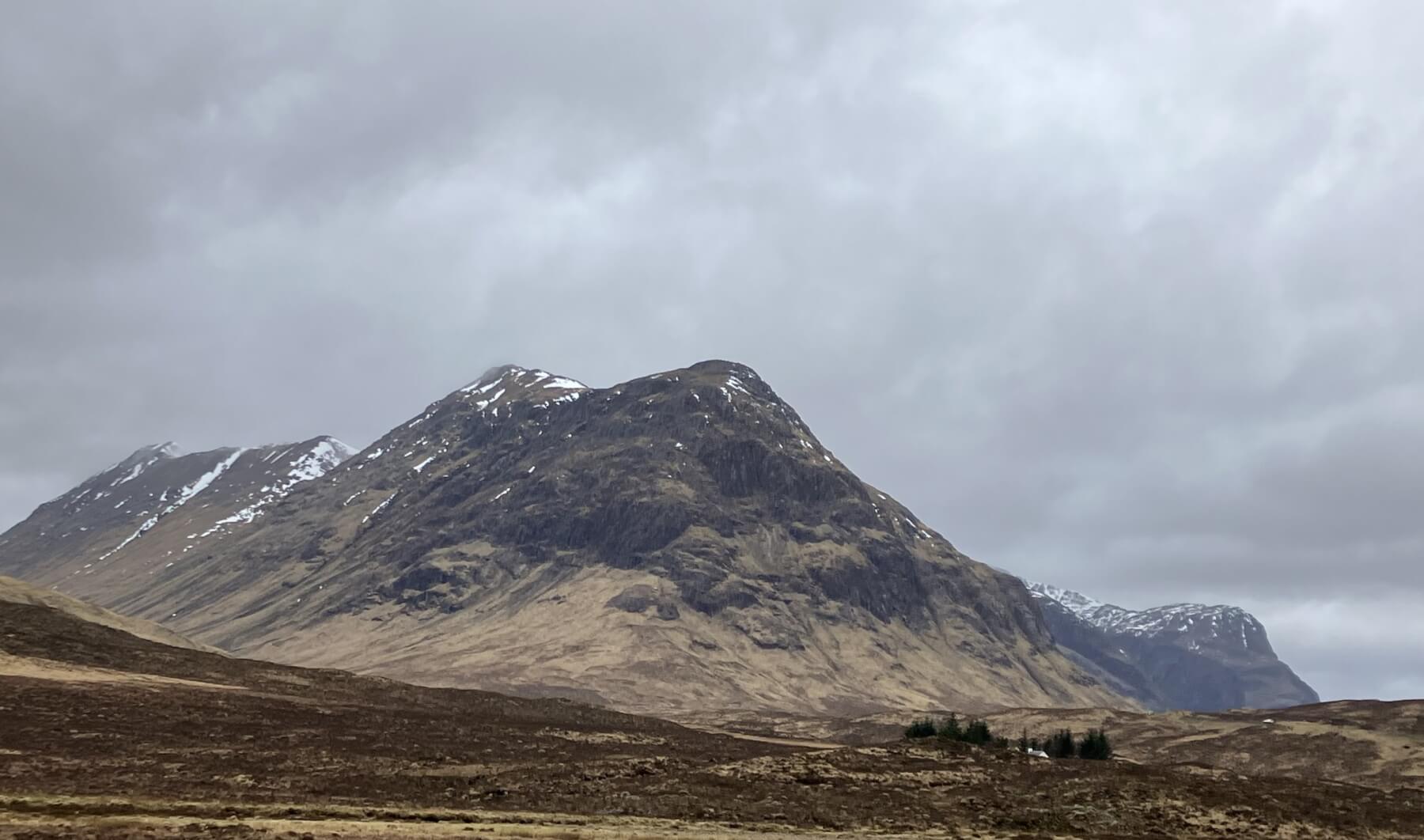
Looking across Lochan na h-Achlaise to Clach Leathad on the left and Meall a’Bhuirid on the right.
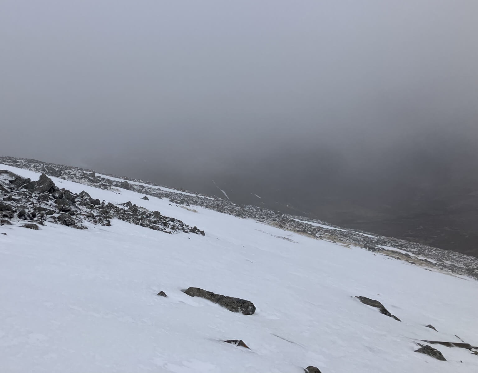
At around 1000 metres on a North aspect on Meall a’Bhuirid.
Patchy snow cover on North-West aspect looking across to Sron na Creise.
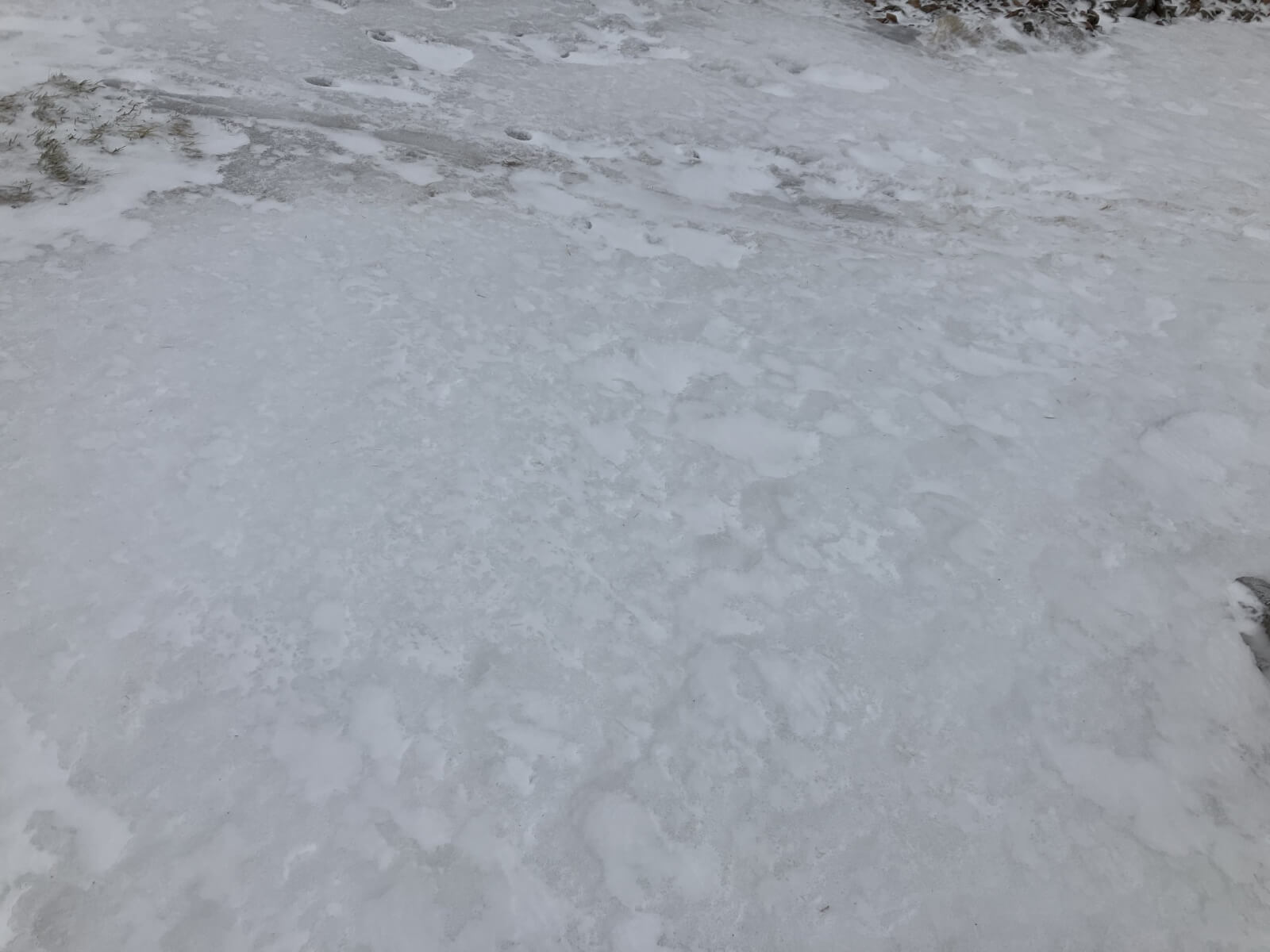
Yesterday’s soft moist snowpack frozen firm.
Buachaille Etive Beag.

Stob Dearg and Coire na Tulaich – Buachaille Etive Mor.

Stob Coire nam Beith and An-t-Sron.
Comments on this post
Got something to say? Leave a comment


