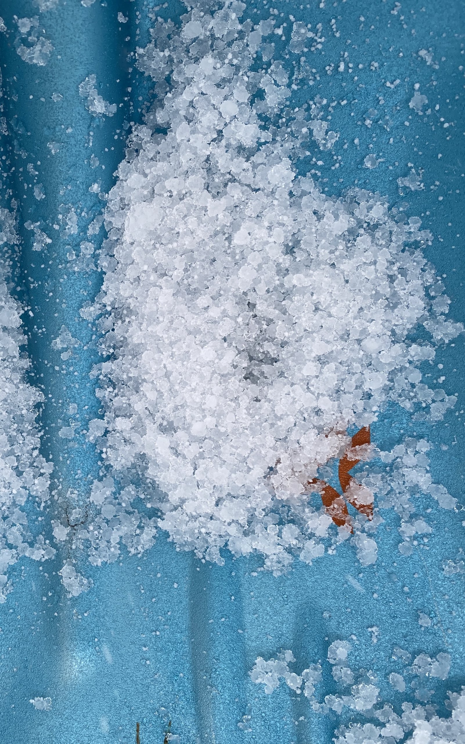
Looking ahead.
24th January 2024
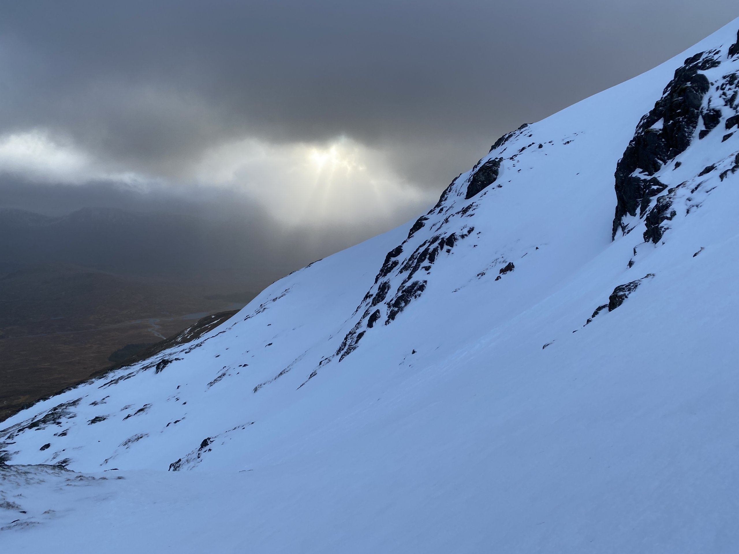
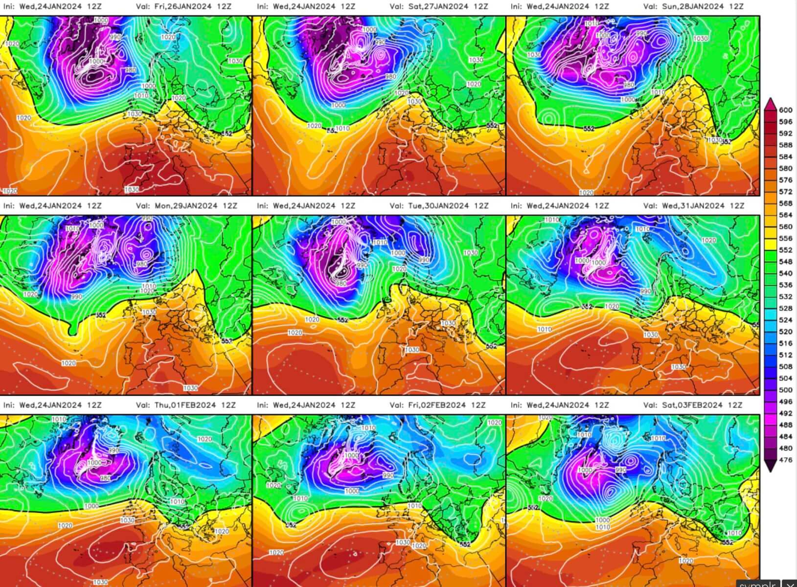
The snowpack is slowly consolidating due to the recent temperature cycles. Looking ahead, we seem likely to remain in a similar situation over the next several days. See the final picture in the blog.
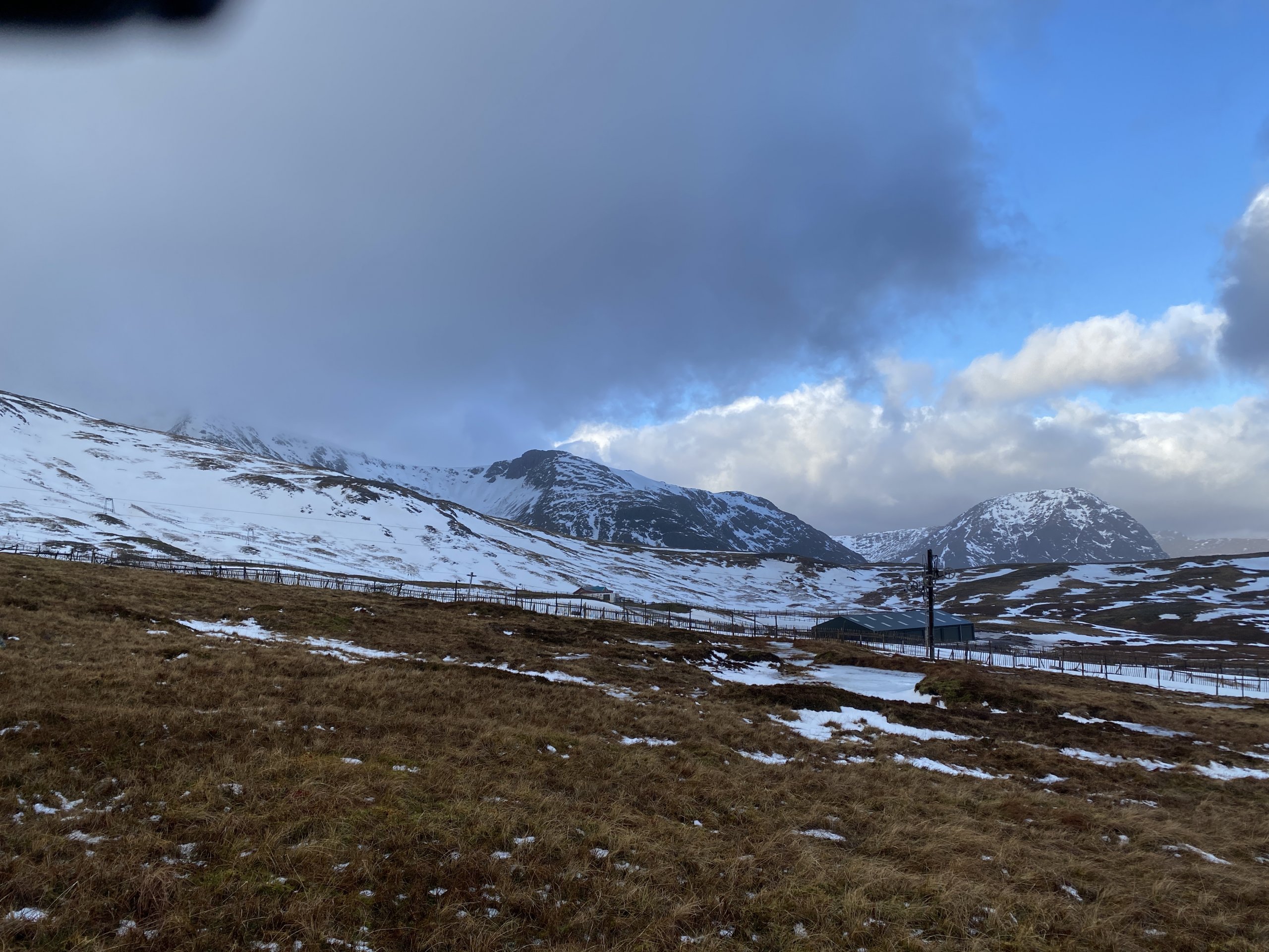
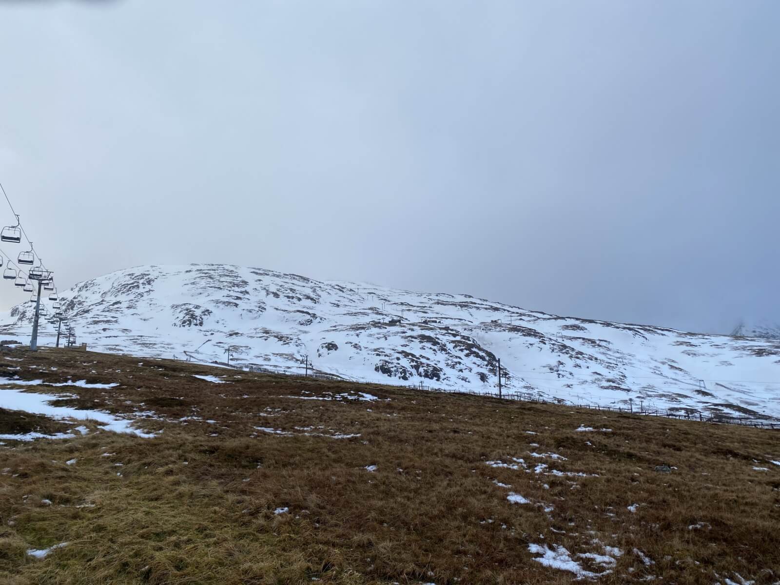
The snowpack is diminishing, but thanks to the significant snowfall early last week, decent cover can still be found on North to East aspects above 800 metres.
Tomorrow we will again have rising temperatures and rain from mid morning, which may give rise to some wet instabilities within the snowpack. It’s likely these will only affect very steep locations and at the highest elevations. Please see the main avalanche report for details.
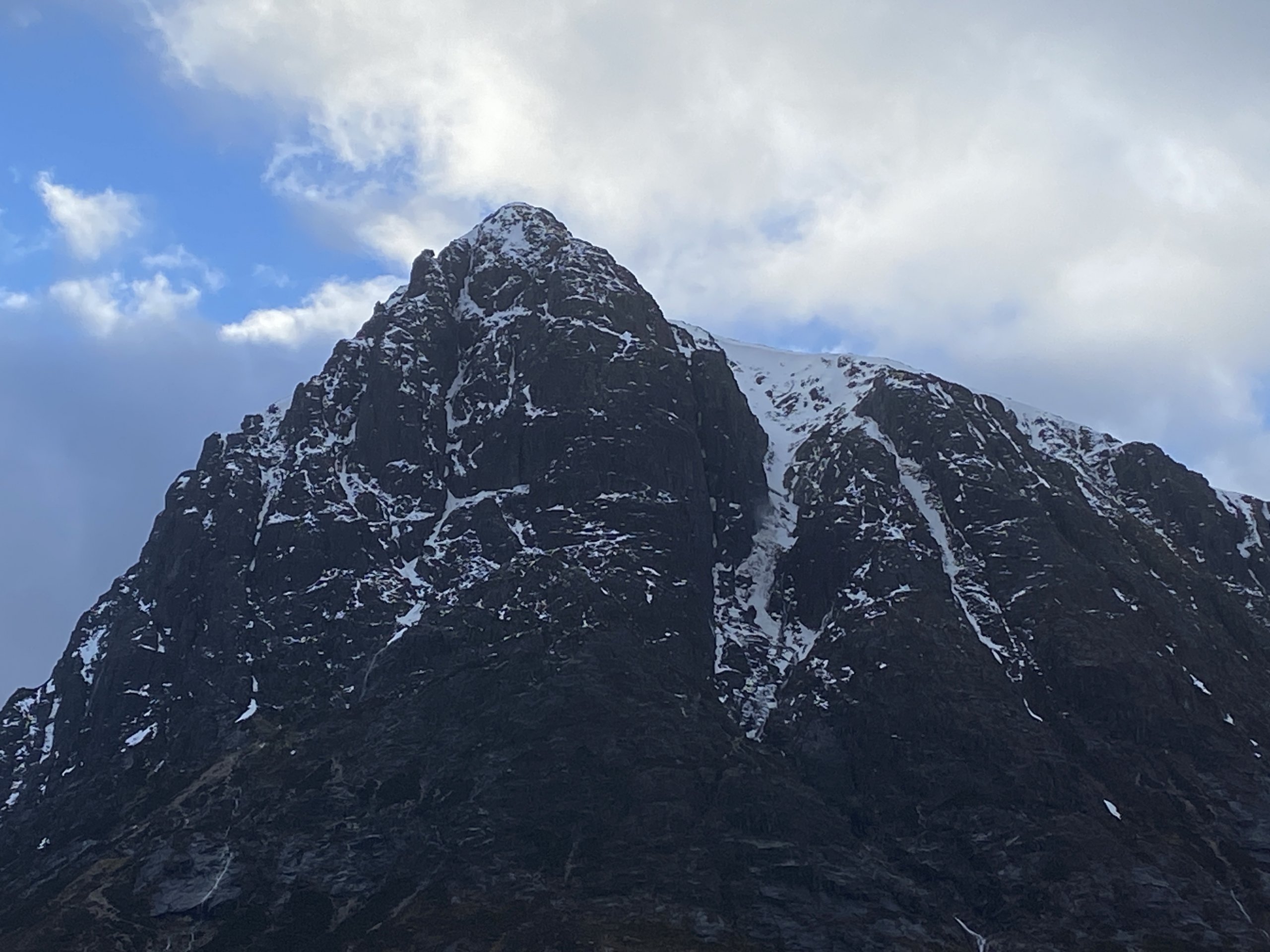
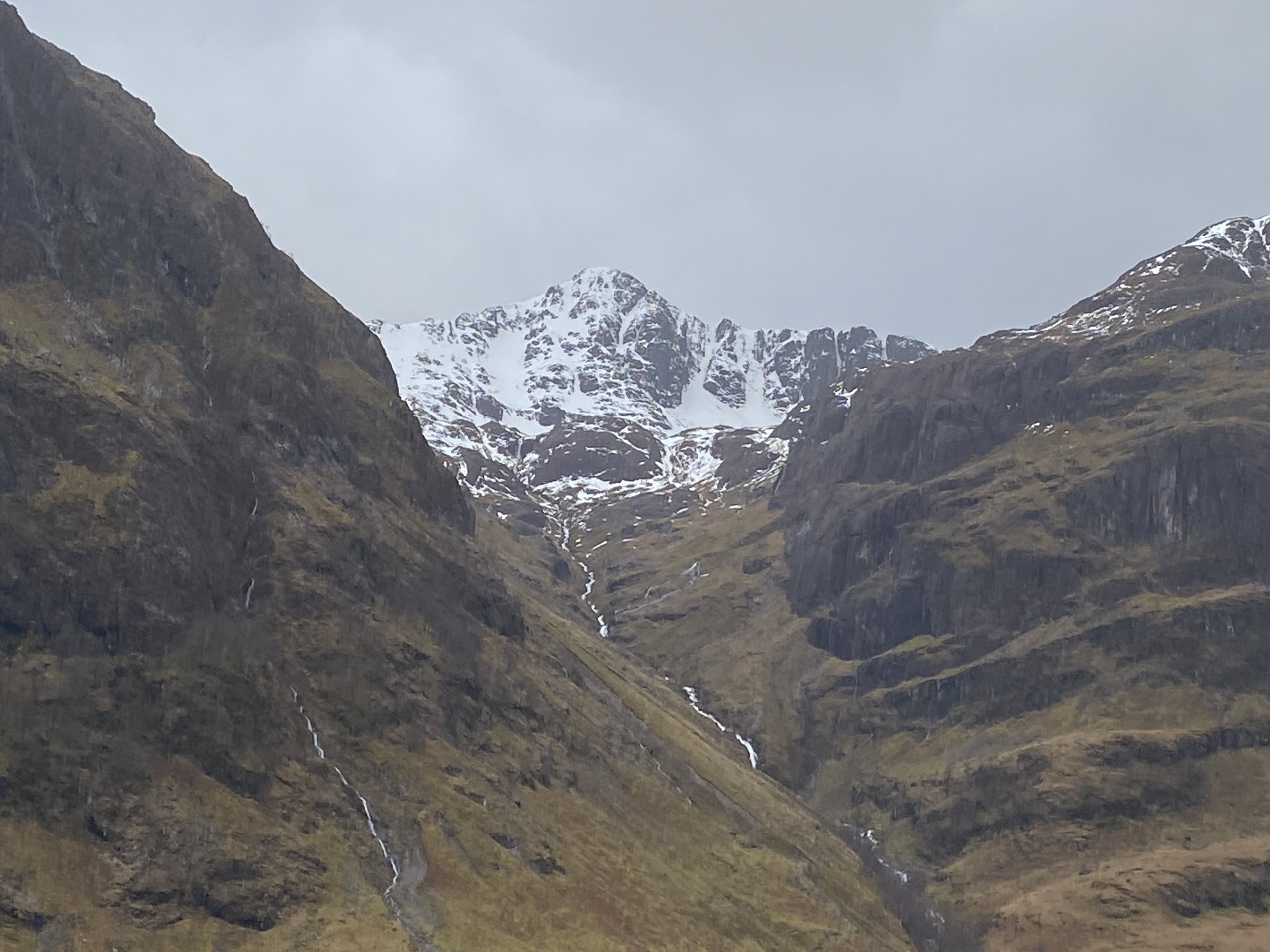
Great gully on Stob Dearg. Avalanche debris can be seen in the gully from yesterday afternoons rain and temperature rise.
I find the above charts useful to have a very general look ahead. They indicate which way the temperatures are likely to go, and where the UK will sit in relation to the ongoing “bunfight” between colder arctic “Polar cell” air, and the warmer “mid latitude” air. The above suggests we will continue to have temperature cycles in the mountains, with no significant cold spell.
But remember, its all just a forecast, and the further we look ahead, the more uncertain they become.
Comments on this post
Got something to say? Leave a comment
