Weakly bonded new snow
11th February 2018
Overnight, snow showers fell to sea level. West-North-Westerly winds were fresh to strong above 800 metres. It was a dry bright morning followed by further snow showers often heavy at times in the afternoon. The freezing level was around 300 metres. This has led to the formation of new areas of windslab, mainly on East to South-East aspects above 800 metres. These deposits are unstable, field tests showed Touchy to Reactive shears on similar aspects, particularly where they overlay a melt freeze crust. North and North-East also aspects maintain older deposits of windslab. Cornices are soft and unstable. Exposed and windward aspects are firmer and often icy. The avalanche hazard is Considerable.
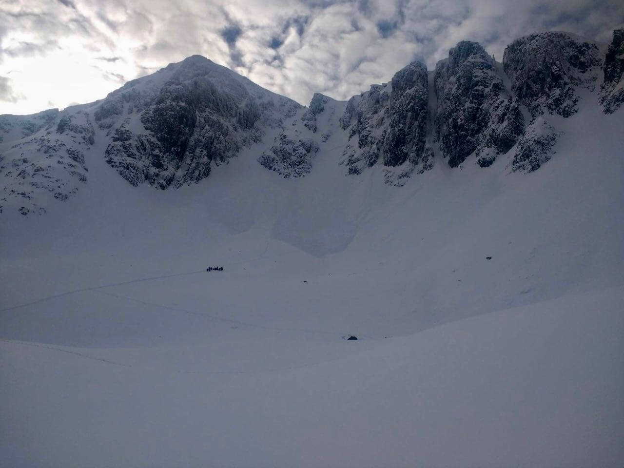
This photo was sent in by a climber who was in Stob Coire nan Lochan yesterday. It shows avalanche debris that most probably occurred earlier that morning mainly on a North-Easterly aspect.

More evidence of Avalanche activity from yesterday on an Easterly aspect. Photo taken today so the debris is slightly covered in new snow.

Glen Coe this morning
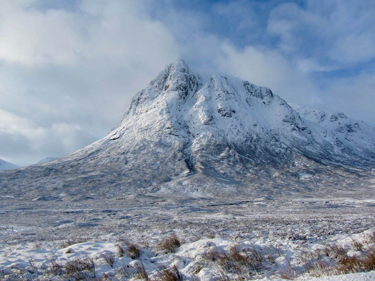
Buachaille Etive Mor from the road this morning
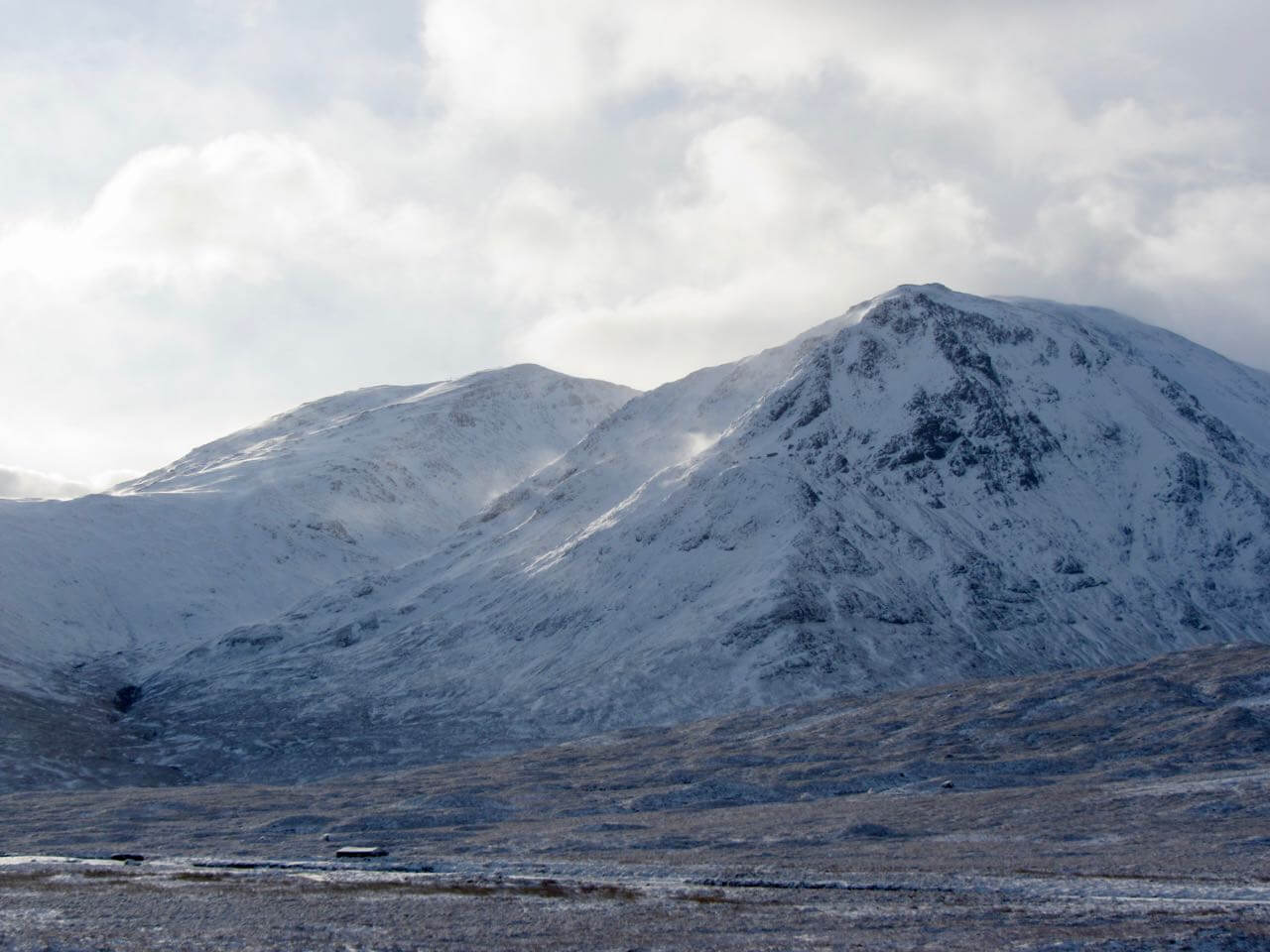
Meall a Bhuiridh (left) and Sron na Creise – note the plumes of snow being scoured off the hill sides of Creise

North-East face of Sron na Creise

From near the summit of Meall a Bhuiridh looking Southward down into Coire an Easain with the sun glinting off Loch an Easain

Looking North-West towards the Mamores, with Sron na Creise in the foreground then Buachaille Etive Mor

Shooting cracks underfoot today these give an indication of weakly bonded windslab
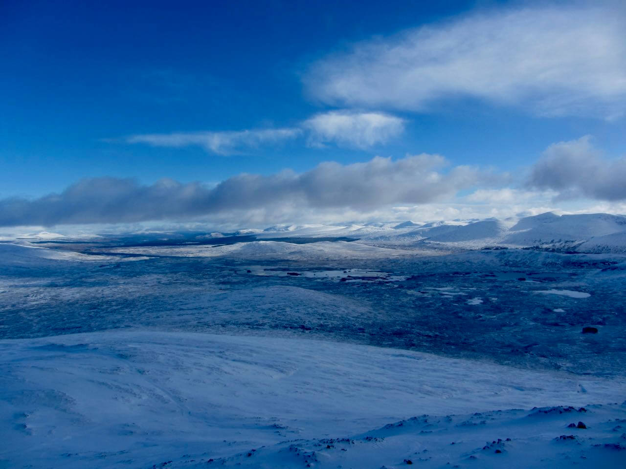
Looking across the Rannoch Mor towards the Perthshire hills
Comments on this post
Got something to say? Leave a comment


Julian Martindale
11th February 2018 9:31 pm
Excellent photos , very useful to have recent activity documented and their aspects. Great job you guys do. Thanks
glencoeadmin
12th February 2018 4:03 pm
Thanks
Mabails
15th February 2018 5:50 pm
Hi
Great blog, very useful. Just checking my understanding… If there is a strong west wind will snow / wind slab be deposited on the East face of the hill?
Thank you.
glencoeadmin
16th February 2018 3:11 pm
Hi Mabails, Glad you find the blog useful. You are generally correct, a strong West winds will generally deposit snow on the North-East to North-West aspects. However, sometimes due to topographic effect you can get pockets of deposition on other aspects.