Wet and windy for the last blog report of this winter season.
13th April 2024
The freezing level was above the summits at first but it was slowly falling, plus 1.5 degrees celsius at mid-day minus 1.5 at 1600hrs. Rain fell at all levels during the morning, often quite persistent, scattered showers in the afternoon interspersed with brighter spells and some light snow above 650 metres. Summit winds were strong from the South-Westerly direction.
Overnight and through the day localised areas of windslab will develop mainly on North to Easterly aspects above 900 metres. Areas most affected will be steep coire headwalls and sheltered gullies exits, particularly where the windslab overlies the old snowpack. Elsewhere the new snow will generally fall on bare ground and will not be a significant avalanche hazard. New cornices will will be soft and fragile. The avalanche hazard will be Moderate.
The West face of Aonach Dubh with the summits of Bidean nam Bian and Stob Coire nam Beith seen in the centre, An t Sron on the right.
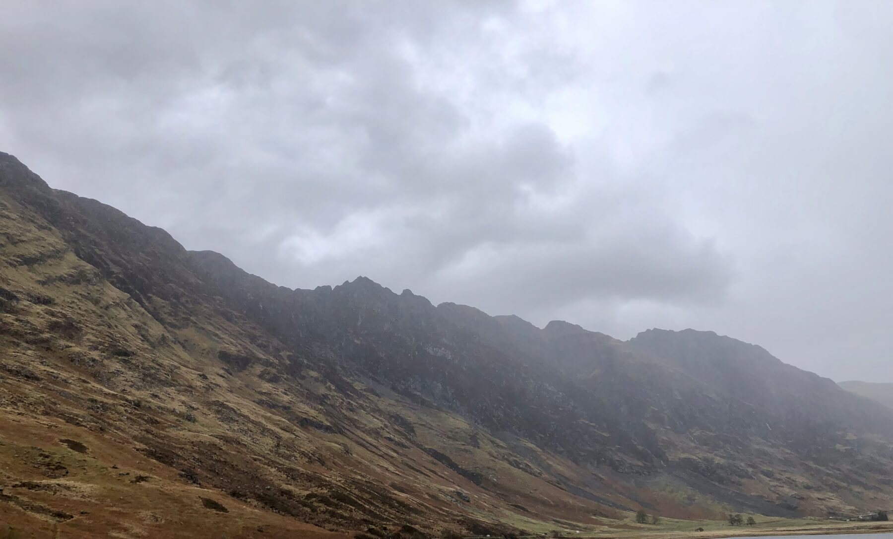
The Aonach Eagach Ridge.
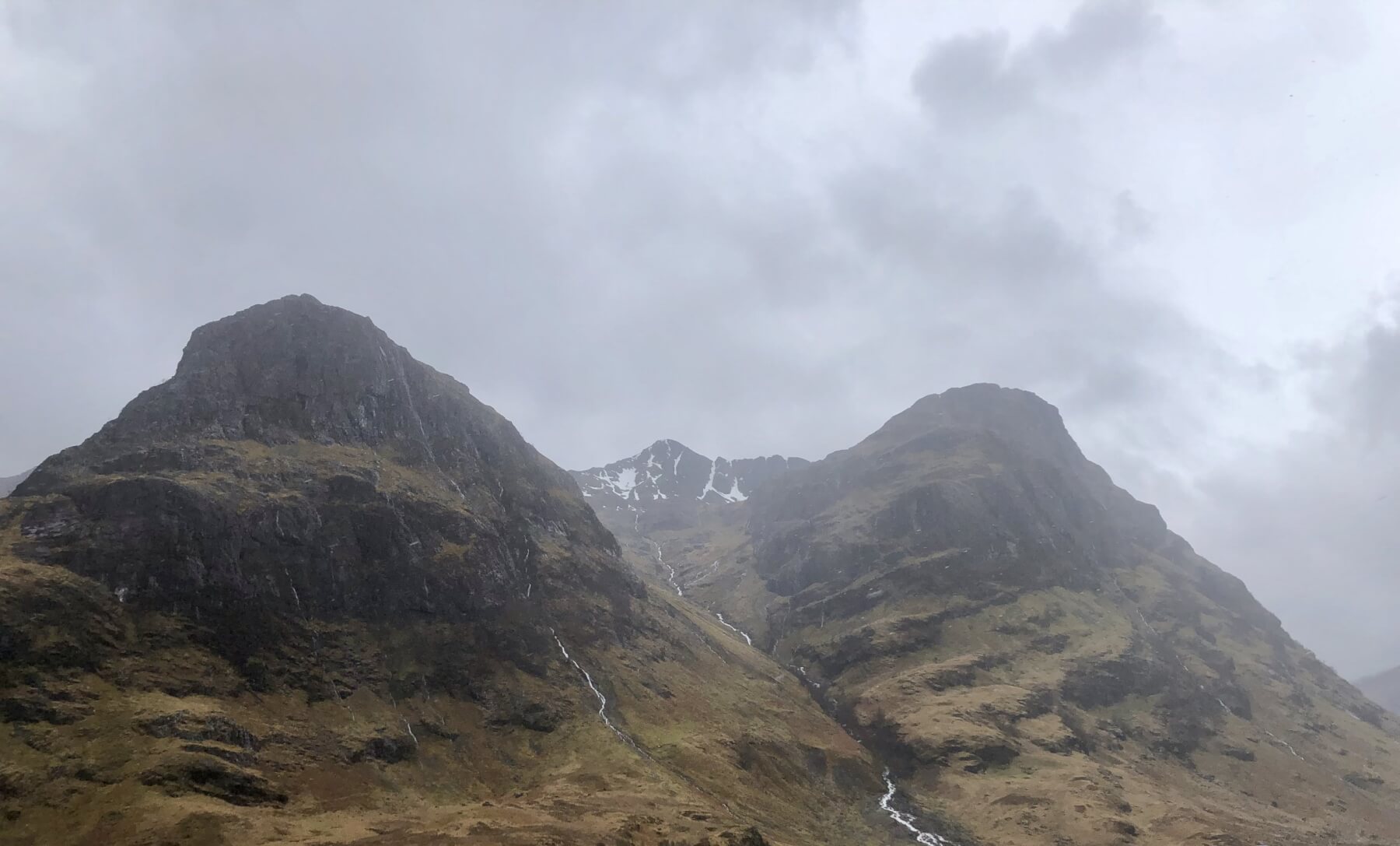
Rivulets of rain running down the Northerly aspect of Aonach Dubh with Stob Coire nam Beith seen with small patches of snow.
Stob Dearg and Coire na Tulaich.
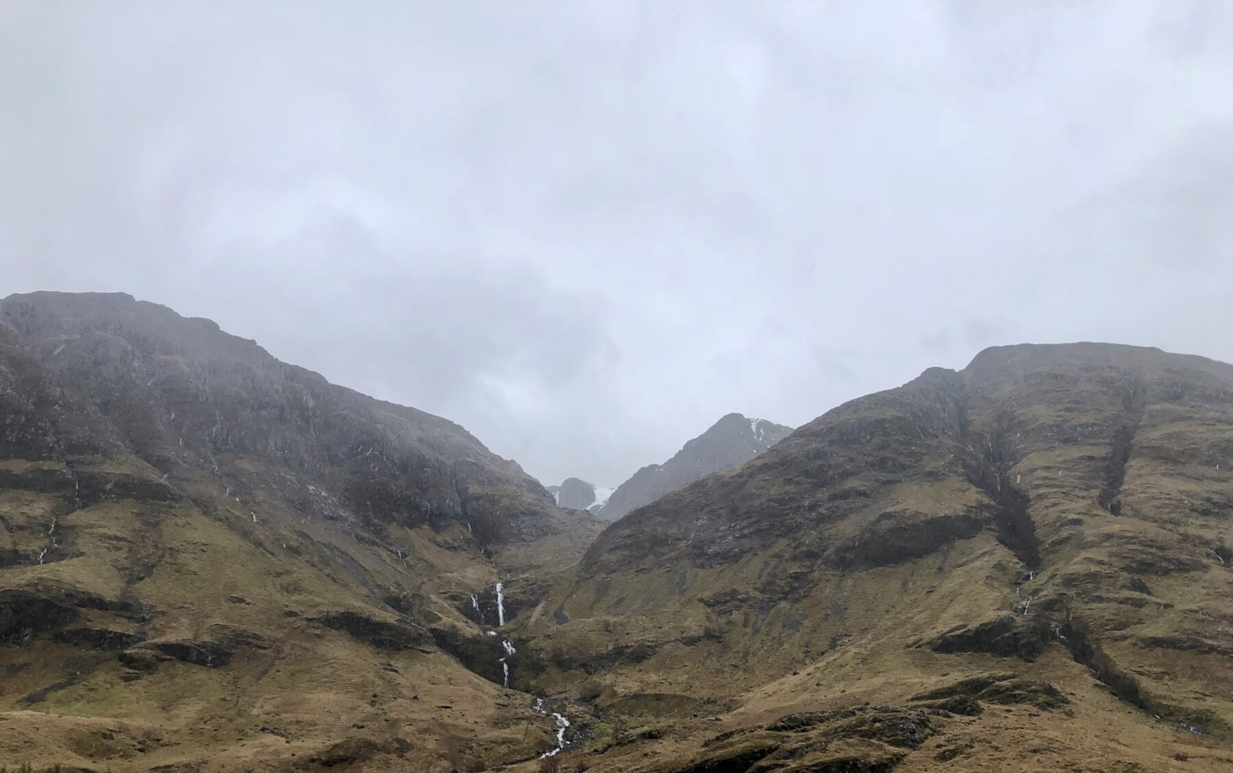
Looking into Coire Gabhail (lost valley) and part of the cliffs of Stob Coire nan Lochan on the right. Note also the rivulets of rain water pouring off the steep faces.
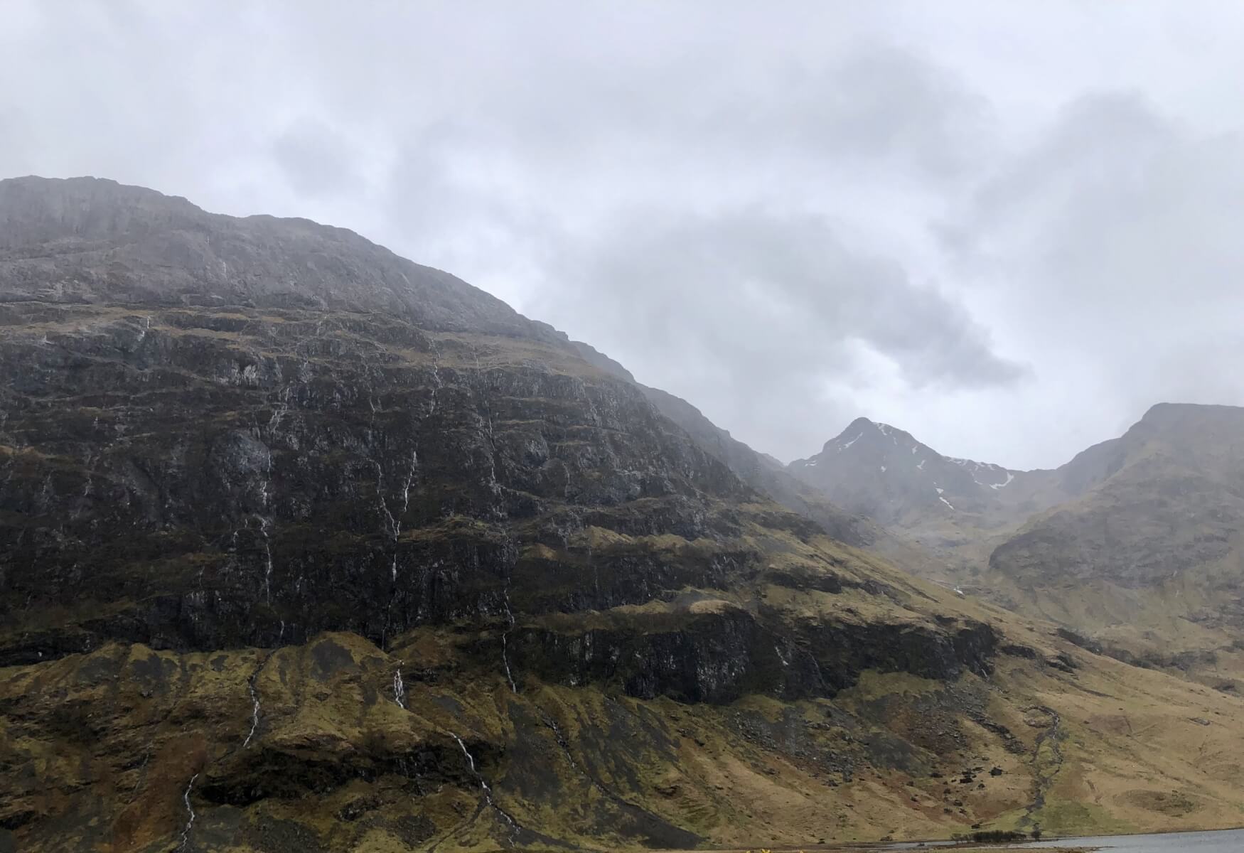
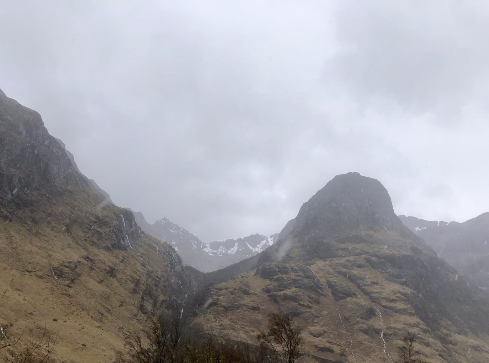
Gearr Aonach and Aonach Dubh with Stob Coire nan Lochan in between.
Enjoy the summer months, thank for looking and reading. More blogs and reports appearing as winter returns towards the end of the year.
Comments on this post
Got something to say? Leave a comment


