Mild Misty Mountains….
12th April 2024
After a little overnight rain it was a dry morning, rain started to fall at all levels around mid-day. The freezing level was well above the summits and winds were strong from the South-Westerly direction.
The snowpack is moist at all elevations and has diminished a little further and is generally now quite patchy. However, stability remains generally good in most locations. Greatest snow amounts are present on North to Easterly aspects above 900 metres.
The existing old moist snowpack will consolidate. New snow amounts are not expected to be significant mainly a light dusting, lying mostly on bare ground. Stability will generally remain good in most locations. Localised areas of shallow windslab will form in wind sheltered locations, mainly around the tops of summit gullies and steep scarp slopes with an North to Easterly aspects above 900 metres. These accumulations are not expected to be deep or extensive. The avalanche hazard will be Low.
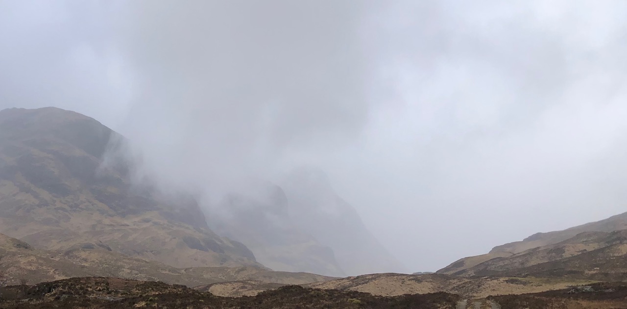
The Sister’s of Glencoe lurking in the mist.
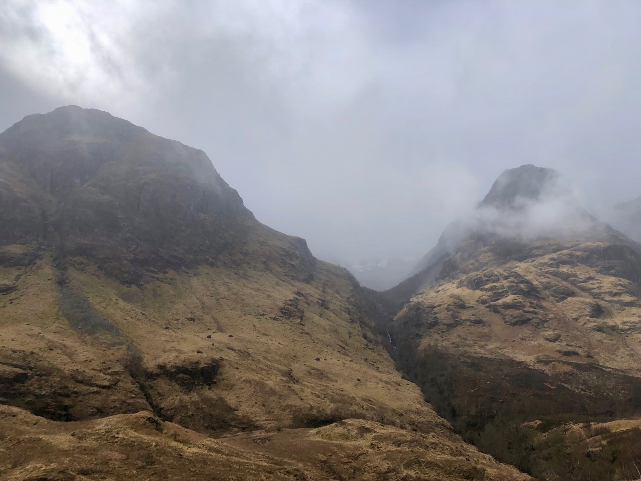
Beinn Fhada on the left, you can just make out the remaining snows in Coire Gahail (lost valley) with Gearr Aonach on the right.
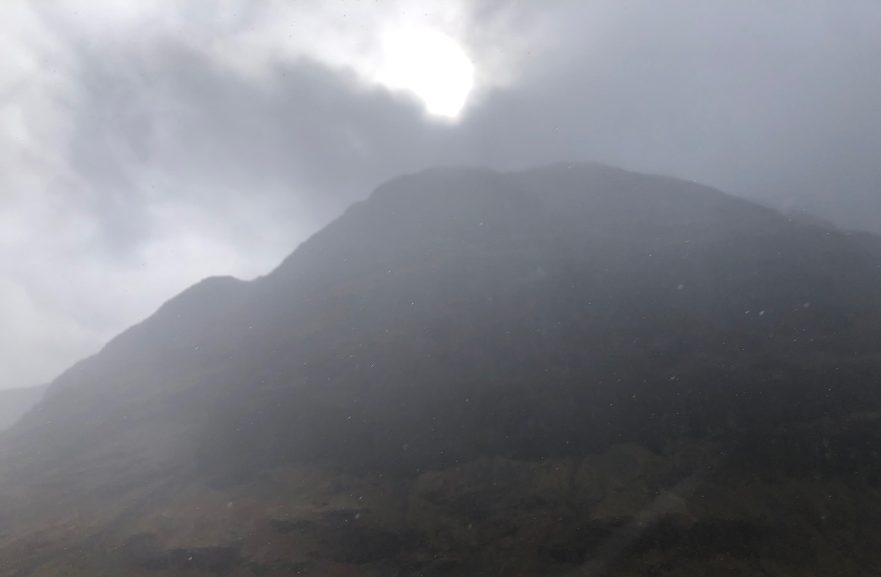
Gloomy North face on Aonach Dubh.
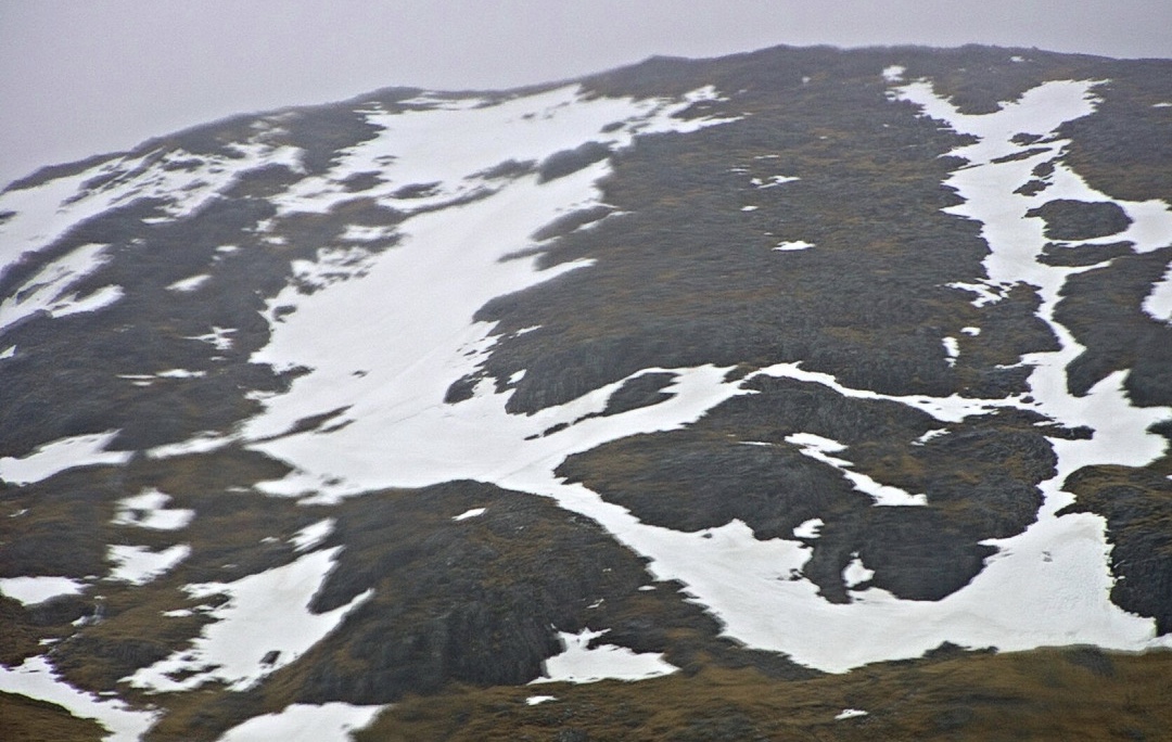
Remaining patchy thawing snow cover on the North-Easterly aspect of Meall a’ Bhuiridh at around 850 metre and above.
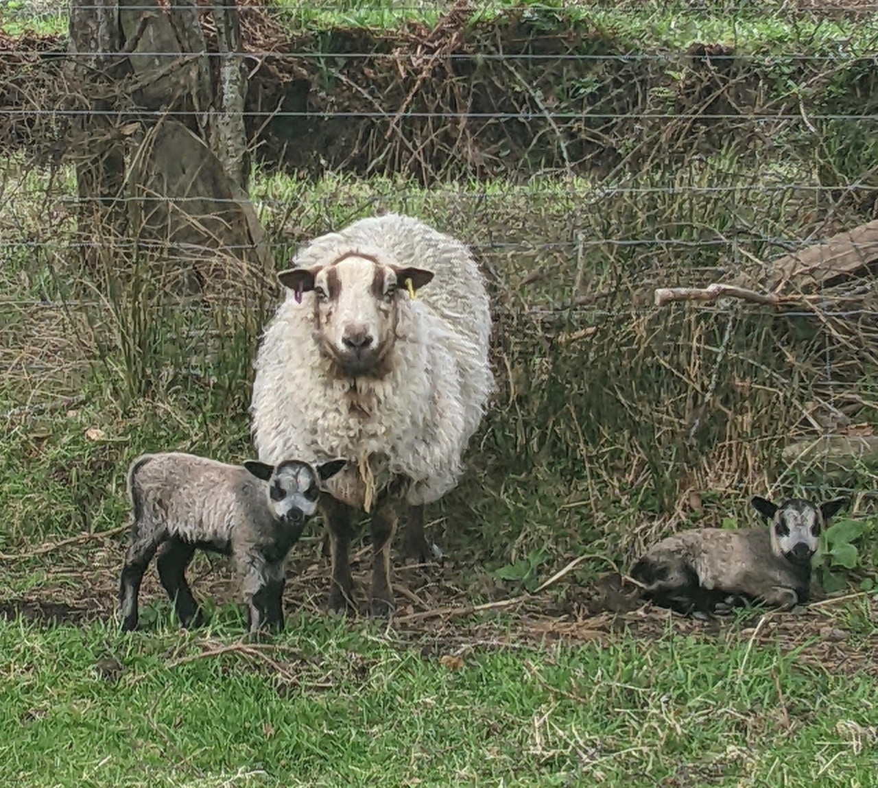
Spring has definitely arrived new lambs just born on Arthur’s farm.
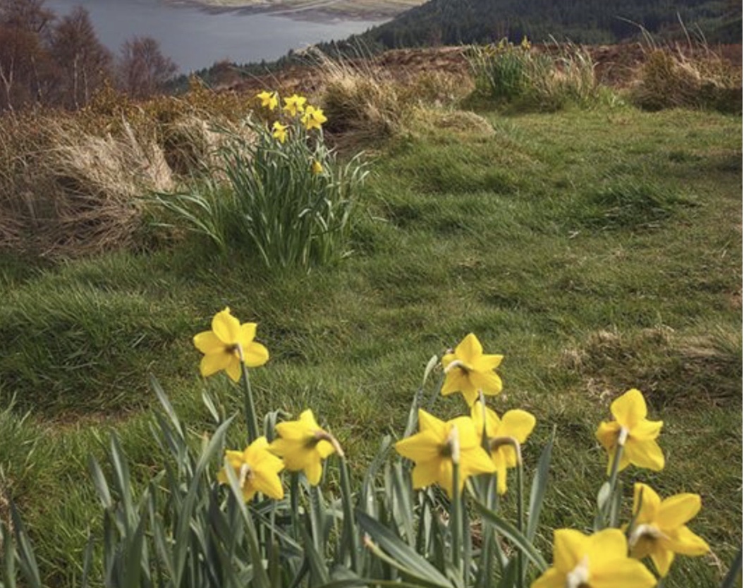
Colours are a changing …..
Comments on this post
Got something to say? Leave a comment


