Wintry in the strong Westerlies
3rd February 2020
Overnight, the freezing level rose to around 1200 metres along with heavy rain and strong gale force winds. Today, very strong Westerly winds and intermittent snow showers the freezing level was around 500 metres. It was pretty cold walking into the wind today it felt really wintry. Last night the recent new snow accumulations were consolidated and depleted at lower levels. Very strong Westerly winds were scouring and drifting snow forming poorly bonded windslab in wind sheltered locations. Greatest amounts are on North through East to South-Easterly aspects above 850 metres. Other aspects have localised instabilities due to cross loading. The avalanche hazard is Moderate.

Stob Coire nan Lochan on the left with the West summit of Bidean on the right.

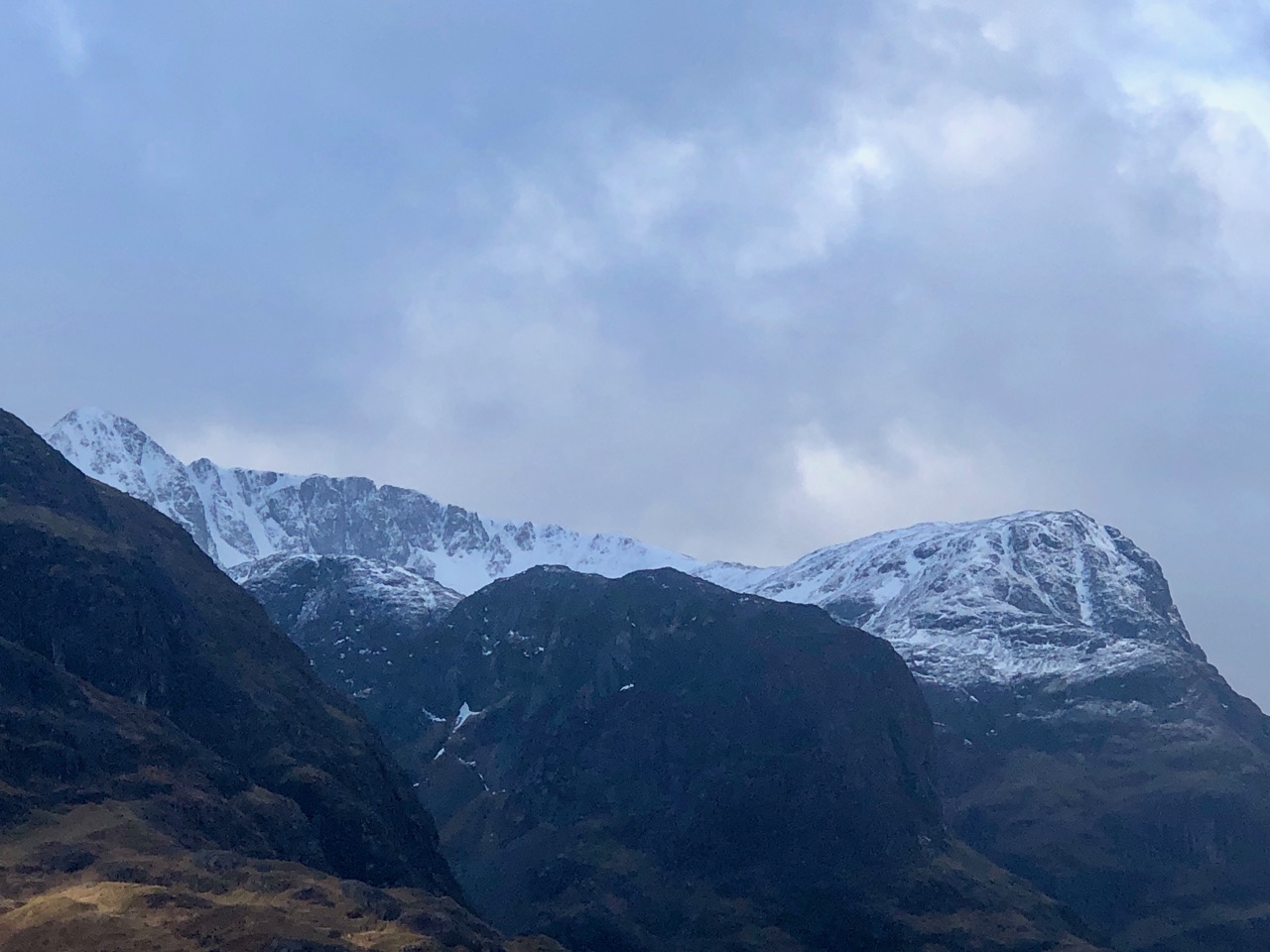
Diamond and Church Door buttresses on the left, the main summit of Bidean nan Bian is just over and beyond these buttresses. West summit on the right.

The southerly aspect of the Aonach Eagach ridge.

Stob Coire nan Lochan looking nice and wintry.
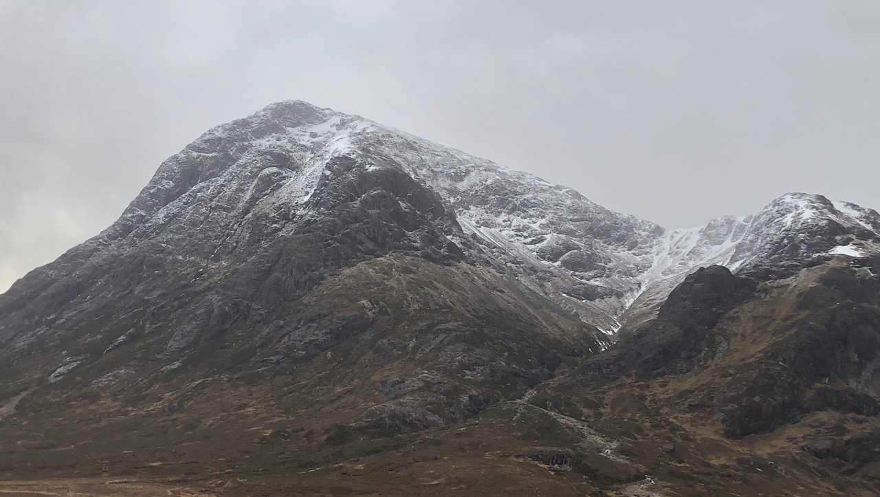
Buachaille Etive Mor and Coire na Tulaich.
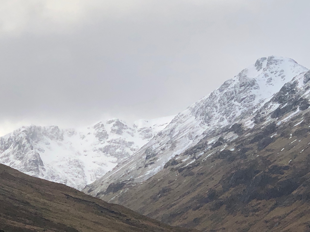
Sron na Lairig seen on the left with Beinn Fhada on the right.
The 3 sisters of Glencoe in the fore ground with the pointed summit of Stob Coire nan Lochan on the left.
Comments on this post
Got something to say? Leave a comment


