After the rain, wintry showers
18th February 2021
Covid -19
The Scottish Avalanche Information Service issues information to support permitted activity under current Scottish Government guidance.
Please be aware of current mandatory travel restrictions in Local Authority areas within Scotland and respect local communities by referring to Scottish Government guidance and safe route choices for exercise.
This blog is intended to provide hazard and mountain condition information to help plan safer mountain trips.
Overnight, rain fell at all levels then the freezing level slowly fell to around 700 metres with wintry showers above this height. The winds were strong from a Southerly direction. Accumulations of moderately bonded windslab is present in wind sheltered locations, mainly on North-West to North-East aspects above 850 metres. Localised instabilities also exist on West and East aspects. Steep sheltered locations, gully exits, coire rims and scarp slopes are mostly affected. Cornices are soft and fragile. The avalanche hazard is Moderate.

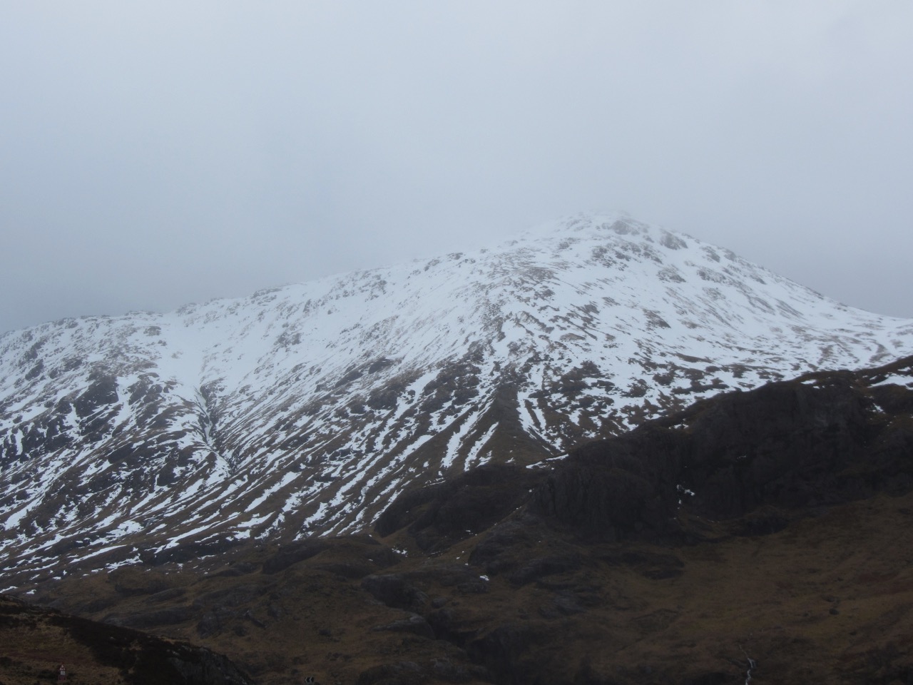
Westerly aspect of Beinn Fhada 931 metres.
North-Westerly aspect of Stob Coire Raineach 925 metres.
Freezing level rising to around 1700 metres tomorrow. Outlook: Mild or very mild with further rain on Friday night and Saturday. Southerly gales or severe gales at height. Drier, cooler conditions developing early on Sunday, winds easing.
Comments on this post
Got something to say? Leave a comment


