West coast drizzle
22nd March 2021
Covid -19
The Scottish Avalanche Information Service issues information to support permitted activity under current Scottish Government guidance.
Please be aware of current mandatory travel restrictions in Local Authority areas within Scotland and respect local communities by referring to Scottish Government guidance and safe route choices for exercise. For further guidance please refer to the following information for hillwalkers and climbers and snowsports on ski and board.
This blog is intended to provide hazard and mountain condition information to help plan safer mountain trips.
A mainly dry day with some drizzle and light rain on occasions. The freezing level was generally above the highest summits and the winds were fresh from the South-West.
The snowpack is generally well bonded and stable. Some isolated wet snow surface instabilities were present on steep terrain. The snowpack continues to slowly thaw with the snow cover depleting below 850 metres.

(Above) Looking on to the North-East aspect of Buachaille Etive Beag at around 750 metres.
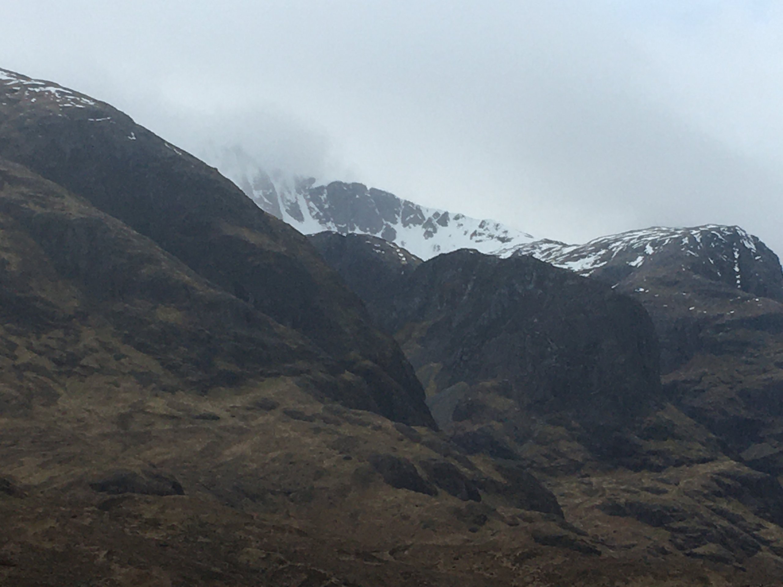
(Above) Stob Coire nan Lochan during a break in the cloud.
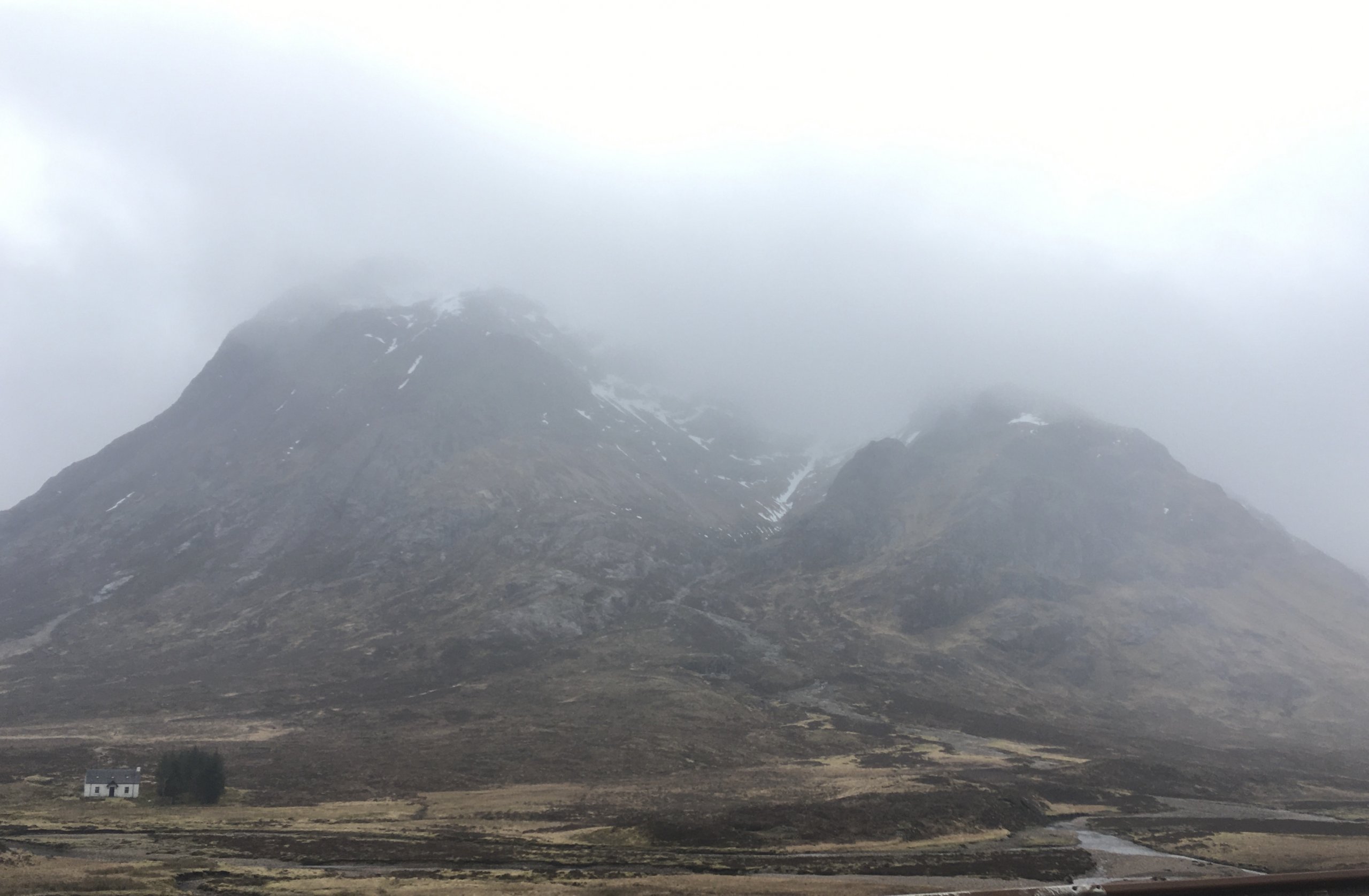
(Above) Buachaille Etive Mor looking moody.
Comments on this post
Got something to say? Leave a comment


