Much milder today…
8th April 2021
Covid -19
The Scottish Avalanche Information Service issues information to support permitted activity under current Scottish Government guidance.
Please be aware of current mandatory travel restrictions in Local Authority areas within Scotland and respect local communities by referring to Scottish Government guidance and safe route choices for exercise.
This blog is intended to provide hazard and mountain condition information to help plan safer mountain trips.
Last night a mild South-Westerly airflow affected the area and the freezing level rose to around 1000 metres. The winds strengthened and became West-South-Westerly. Light snow showers fell above 700 metres with rain at lower levels. Much of the lower snow accumulations have become wet and have disappeared  it was generally a gloomy day will poor visibility. The snowpack has softened at most levels. New localised accumulations of windslab were developing mainly on North to East aspects above 800 metres. Currently these accumulations are shallow, wind sheltered locations such as gully tops and coire rims are most affected. Cornices are starting to reform over steeper lee slopes. Much of the lower snow accumulations have thawed and disappeared. The avalanche hazard is Low.
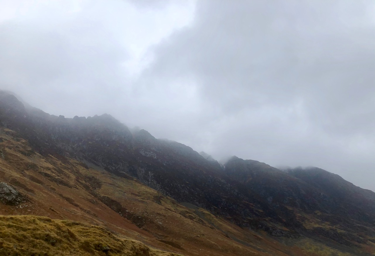
The Southerly aspect of the Aonach Eagach ridge.
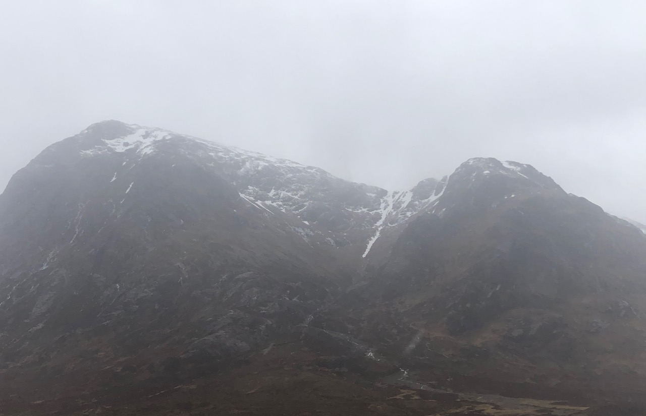
Buachaille Etive Mor.

Stob Coire Altruim.
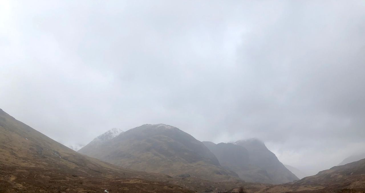
On the left with snow Stob Coire Sgreamhach then the 3 sister’s of Glencoe.
Comments on this post
Got something to say? Leave a comment


