Slightly colder but cloudy….
25th January 2022
Today it was mostly dry with the occasional short spells of drizzle and quite cloudy in the morning. The freezing level was around 950 metres with moderate South-Westerly winds.

Poor visibility on Meall a’ Bhuiridh.
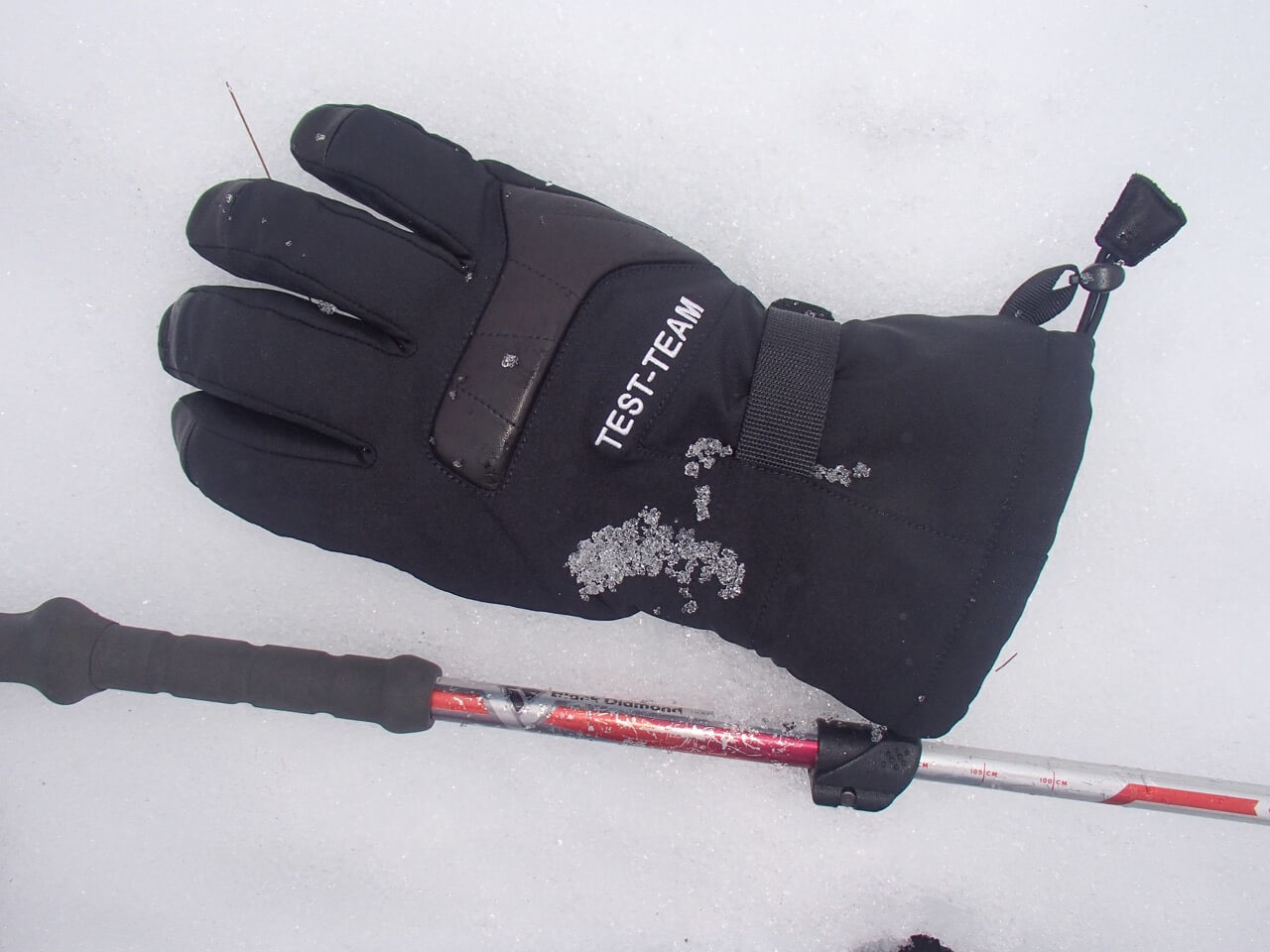
The patchy snowpack is well bonded and made up of ‘melt forms’ with rounded poly-crystals as seen on the Goretex test glove.

Clouds slowly lifting revealing the patchy snow cover on Meall a’ Bhuiridh.
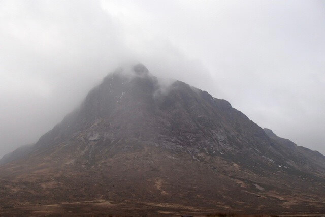
Northerly aspect of Stob Dearg.
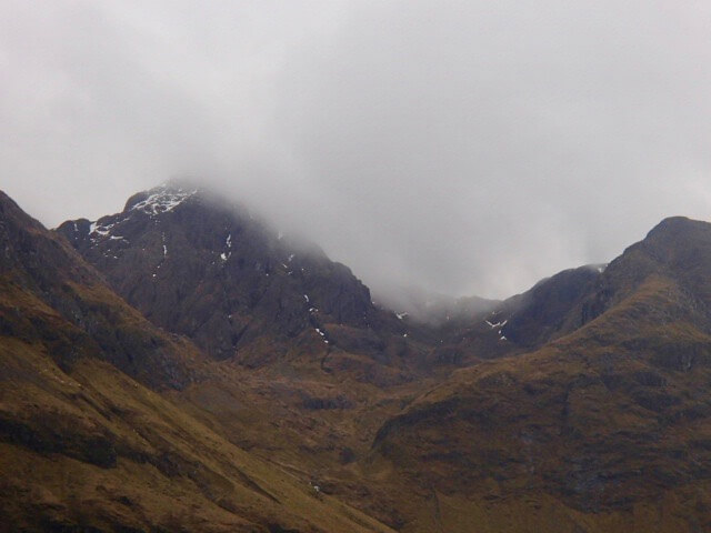
Stob Coire nam Beith and the West summit of Bidean nam Bian.
Forecast Influences: The freezing level will rise to well above the summits. Rain falling at all levels becoming gradually more persistent through the day. Fresh, West-South-Westerly winds will back and strengthen to be South-Westerly.
Forecast Snow Stability and Hazard: Snowpack stability will remain generally good in all locations. Snow cover will be limited and patchy with greatest accumulations in the higher North and Easterly corries. The surface of much of the snowpack will begin to soften as rain and milder conditions take effect. The avalanche hazard will be Low.
Comments on this post
Got something to say? Leave a comment


