Wintry wind chill and Windslab
6th February 2017
Mainly dry today with strong winds which were scouring and transporting snow forming areas of unstable windslab. The strong winds were also forming fragile cornice over shelter ridges. Field tests showed weakly bonded layered windslab failures. Views from today generally don’t show high amounts of snow but in high sheltered locations deep accumulations and drifts are present.

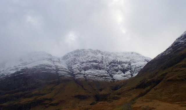
Aonach Eagach ridge
Looking up into Stob Coire nam Beith

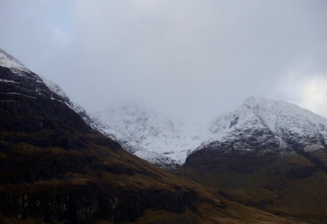
Between the two sisters is Stob Coire nan Lochan
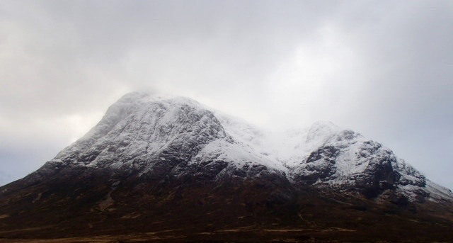
Buachaille Etive Mor

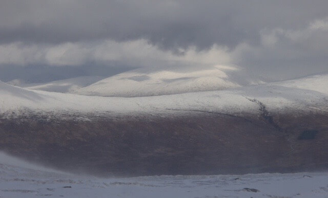
Looking towards Meall a Bhuiridh and Sron na Creise

Sron na Creise behind the flag pole….. note the flag it gives some signs! which are?
One sign, strong winds at altitude…. note the snow blowing around at surface level

Another sign of strong winds it forms windslab, note the easy fracture from damaged snow lying in sheltered areas again caused by the strong winds.
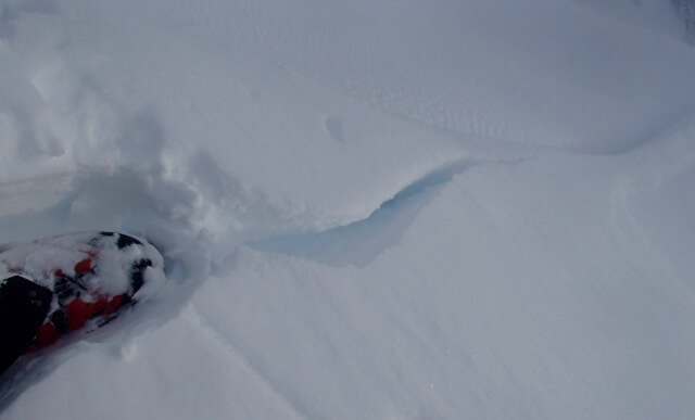
More evidence of windslab cracking and fracturing under foot.

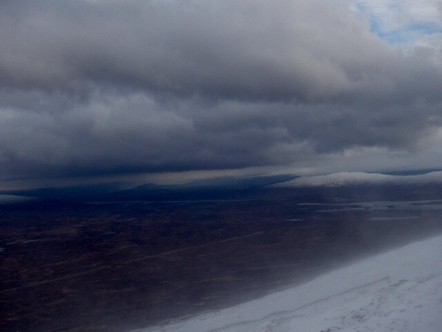
Strong winds transporting snow often giving poor visibility.
The odd bright spell.. wind still transporting snow left side of the picture.

Another sign of strong winds producing deep drifting snow accumulations.
West face of Aonach Dubh…. most of the lower numbered gullies have still not filled in.
Comments on this post
Got something to say? Leave a comment


