Bright, sunny and dry
8th April 2017
Today was much more pleasant than of late with plenty of sunshine. Summit temperature at 1pm was 5 degrees celsius with light to moderate South-Westerly winds.
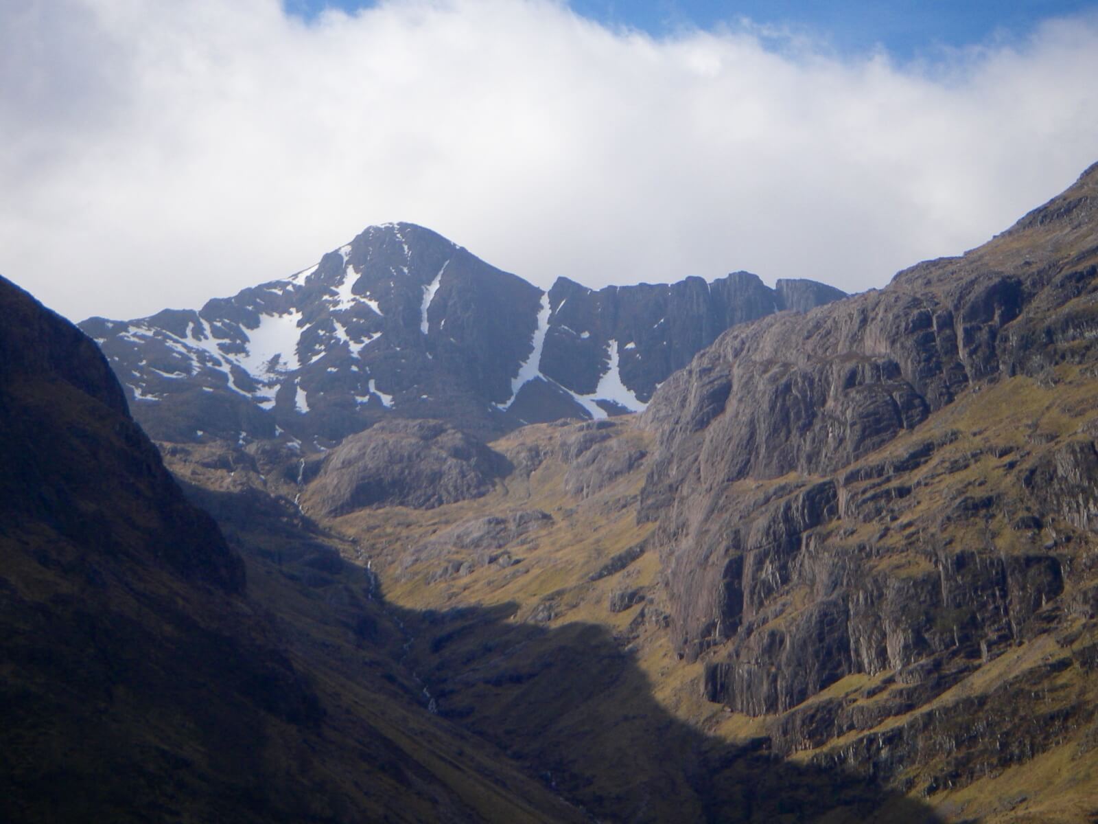
Stob Coire nan Lochan — Broad Gully still complete.
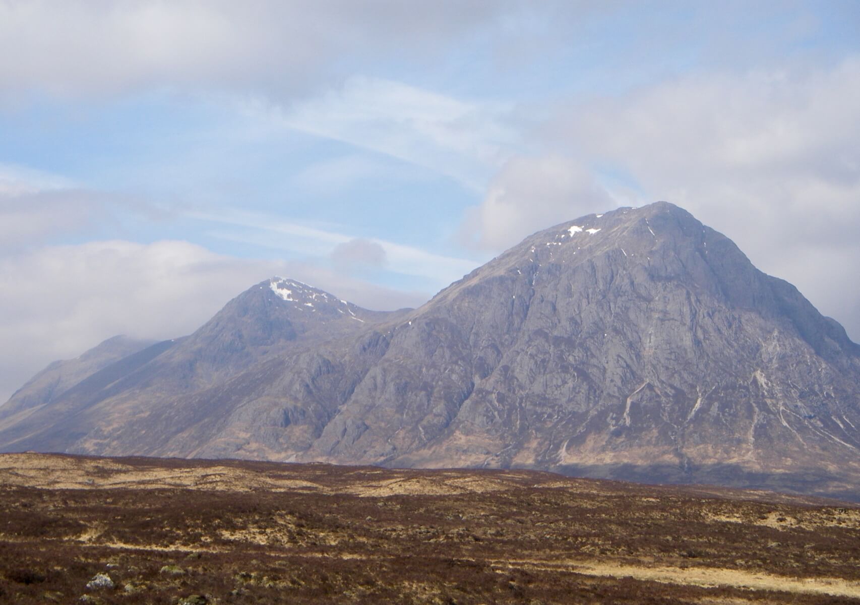
Buachaille Etive Mor

Sron na Creise

Meall a Bhuiridh

Creag Dubh 748 metres – could these two snow patched be at the lowest elevation in Glen Coe?

Winter snow sports nearly finished – alternative trill seeking starts

Check out Glencoe Mountain’s bike tracks
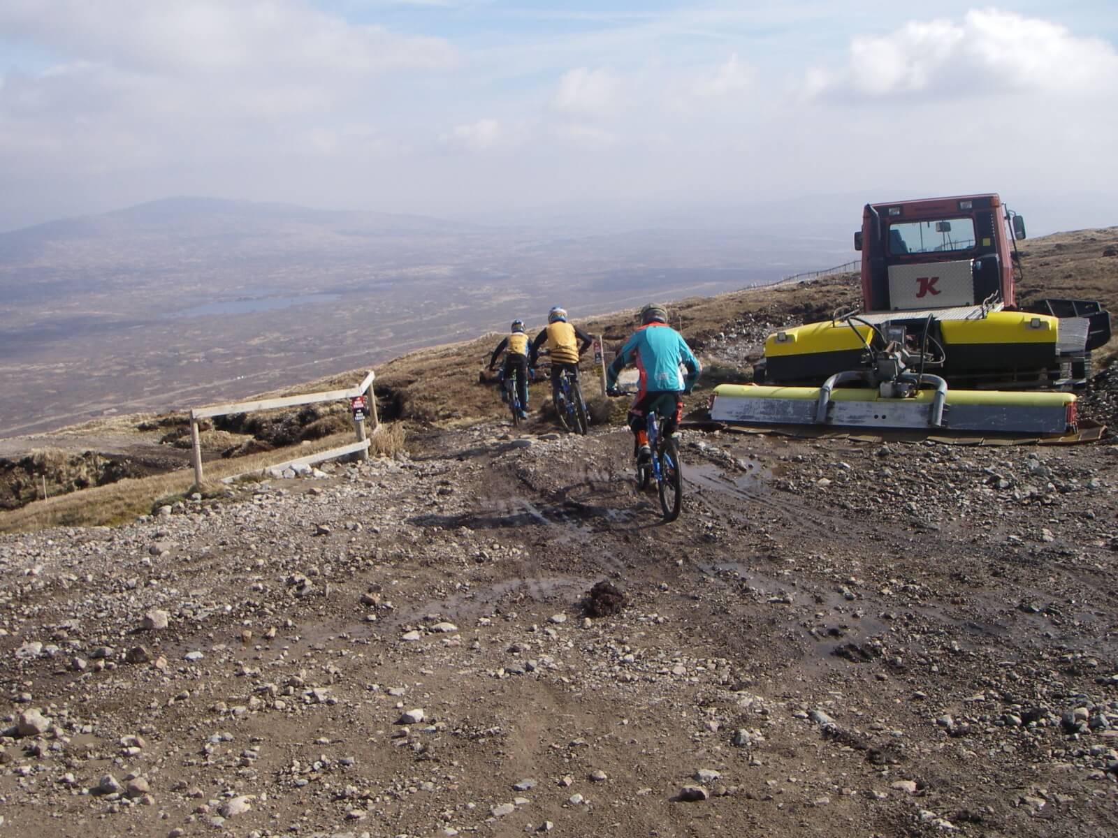
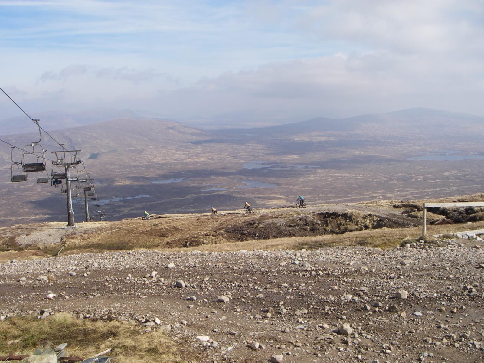
Riders having fun
|
Weather forecast and general situation (synoptic overview) |
|
Dry tonight with mostly clear skies. Dry on Sunday morning. Persistent and widespread rain will develop across West Highland ranges early on Sunday afternoon, this rain extending across East Highland ranges from mid-afternoon onwards. Rain will steadily turn to sleet or wet snow above 750 metres across all ranges in the afternoon as it becomes colder from the northwest. Wet bulb freezing levels above summit level, falling to 800 metres from the northwest by the end of Sunday afternoon. |
|
Outlook for the next 48 hrs |
|
Cold North-Westerly winds are expected on Sunday night and Monday bringing scattered snow showers, these mostly across northern ranges. North-Westerly gales expected at height. Wet bulb freezing levels on Monday 600 to 800 metres. A change expected on Tuesday with cloudy weather and patchy rain and summit snow, wet bulb freezing levels rising to 1200 metres. Storm force Westerly summit winds. |
Comments on this post
Got something to say? Leave a comment


