A Braw Day
26th January 2018
After a cold night with a frost in the glens it was a fine clear day with light variable winds. The colder conditions have helped to further stabilise the snowpack however, pockets of poorly bonded windslab still exist mainly on North to Easterly aspects above 850 metres.

Stob Coire nan Lochan. Note the climbers part way up Doral Arete
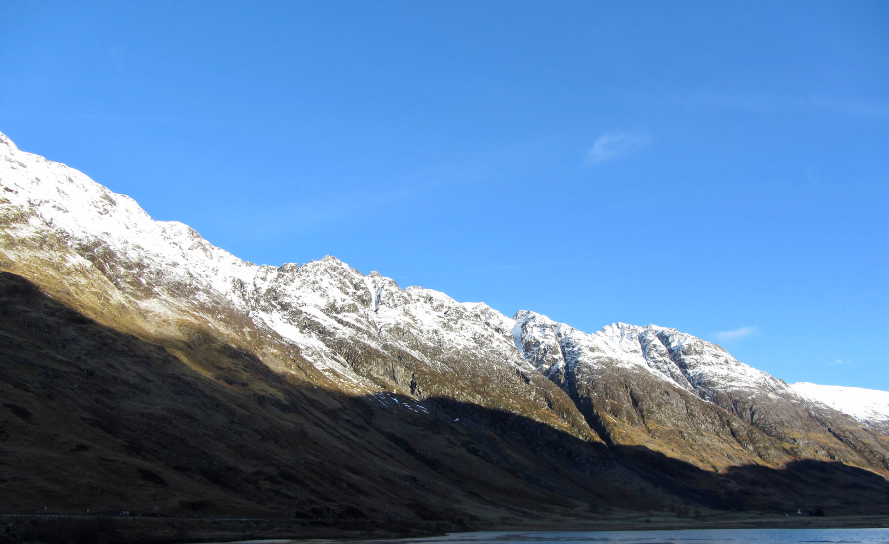
The West summit of Bidean and A-t-Sron above Stob coire nam Beith
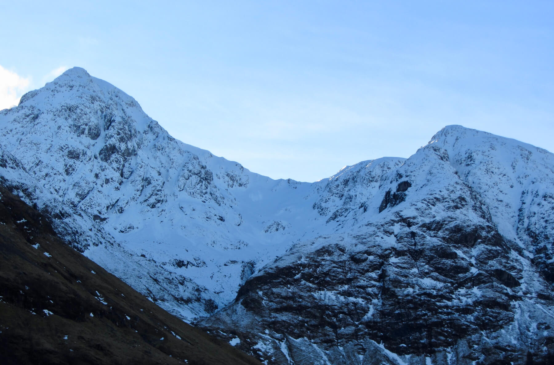
The Aonach Eagach Ridge
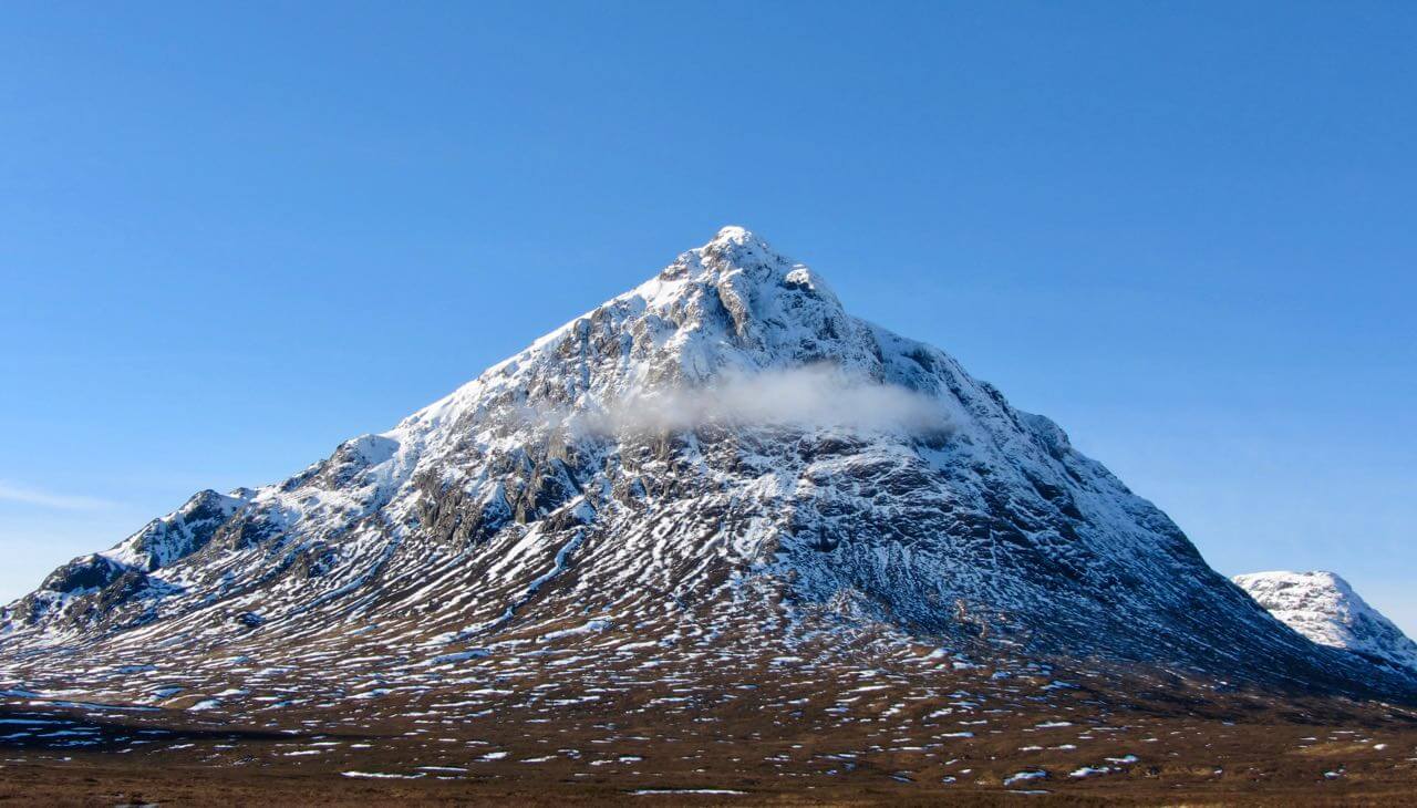
Southerly aspect of Buachaille Etive Mor – ‘the majestic shepherd of the glen”

Buachaille Etive Beag – ‘the wee buachaille”
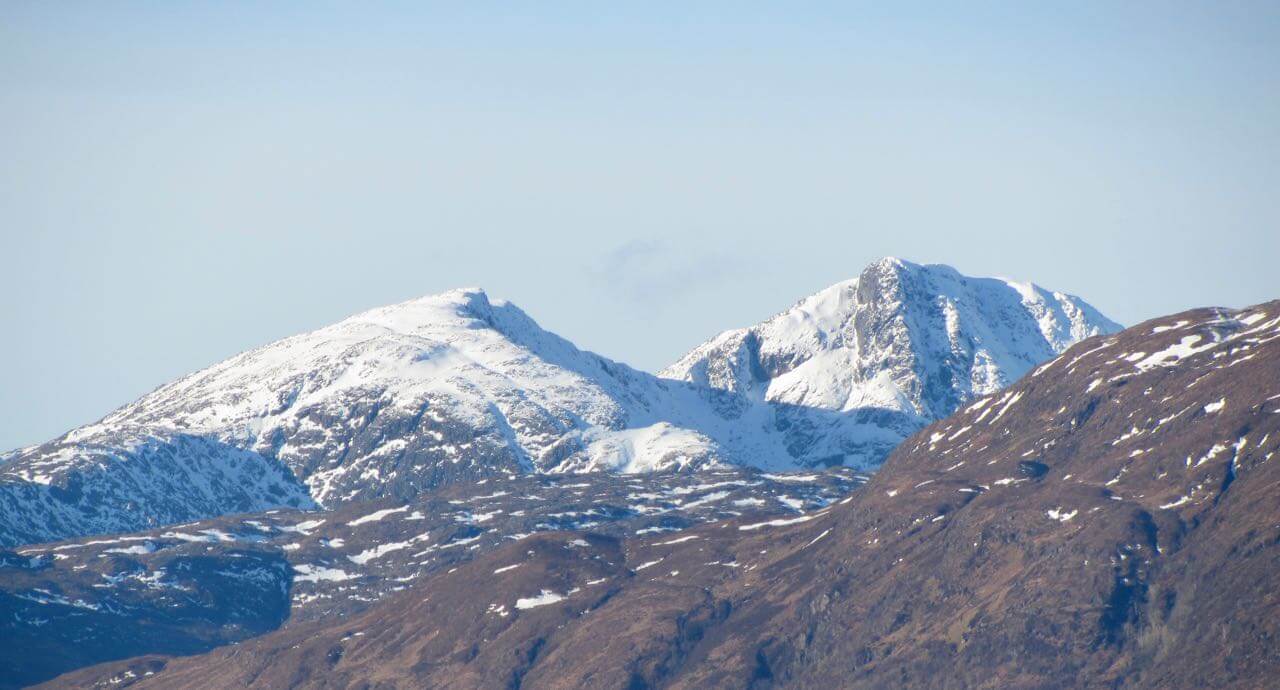
Looking at GlenCoe from the west with Sgorr nam Fiannaidh on the left (the west peak on the Aonach Eagach Ridge), centre is the West face of Aonach Dubh with the summits of Stob Coire nan Lochan and Bidean nam Bian. Loch Linnhe in the fore ground.
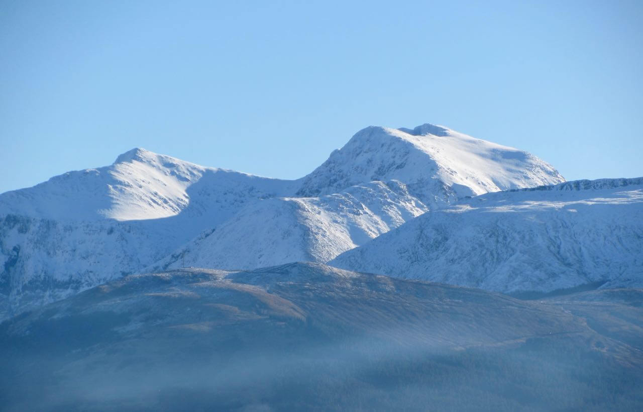
Close up of the above photo
Garbh Bheinn across Loch Linnhe in Ardgour
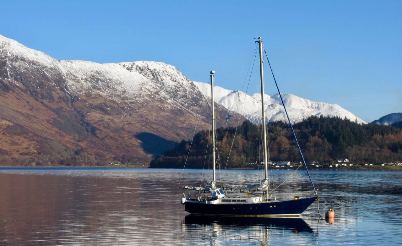
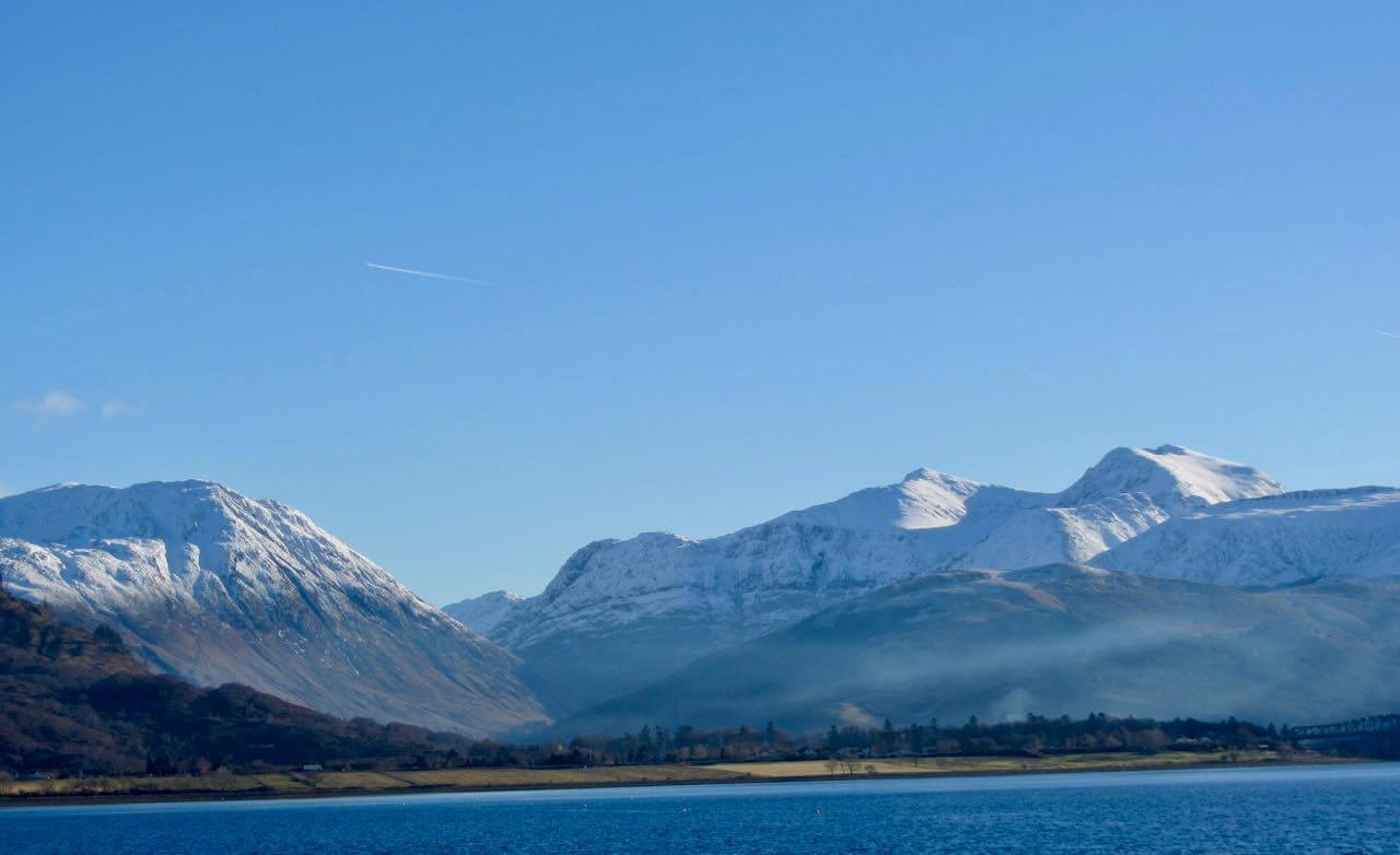
Loch Leven with the Mamores in the background
Outlook and Avalanche forecast
Overnight, at first, some light snow showers above 500 metres these will be followed by heavy rain reaching all levels as the freezing level rises to well above the summits. During the day further rain then light snow above 600 metres in the afternoon. The winds will be strong Southerly overnight veering to West and strengthening during the day.
The snowpack will go through a period of instability overnight and particularly in the morning when it becomes saturated by rain in the mild conditions. Avalanches are likely on steep slopes and gullies above 800 where significant areas of windslab existed. Most affected will be North-West, North and East aspects. Cornices will unstable and prone to collapse. Snowpack stability should improve with the cooler drier conditions in the afternoon. The avalanche hazard will be Considerable.
Comments on this post
Got something to say? Leave a comment


