Storm Georgina
24th January 2018
Last night the freezing level rose to just above the summits in Glen Coe, this was accompanied by rain and gale force South-Westerly winds. Today started out the same but the freezing level lowered to around 830 metres and snow was being blown around in all directions above this elevation. At lower levels it was wet than wet! Storm Georgina is moving away to the North-East this evening and the winds should now decrease and it will get colder.

Coire na Tulaich on Buachaille Etive Mor

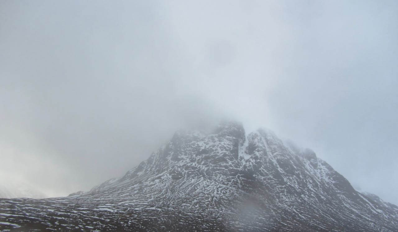
Buachaille Etive Mor
North aspect of Buachhaille Etive Mor
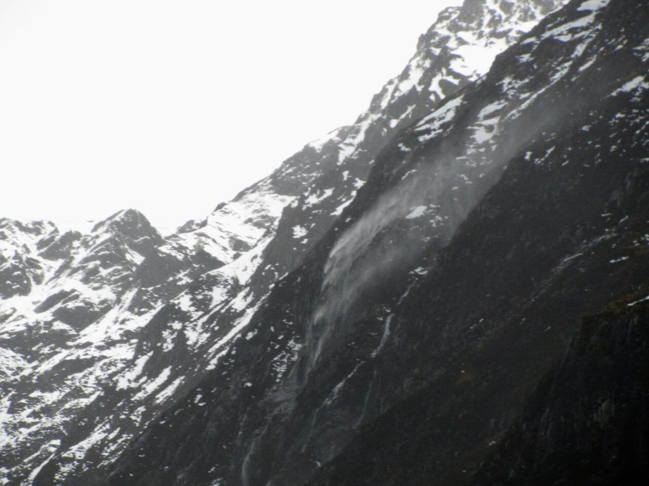
Winds blowing melt water rain back up onto the Aonach Eagach ridge
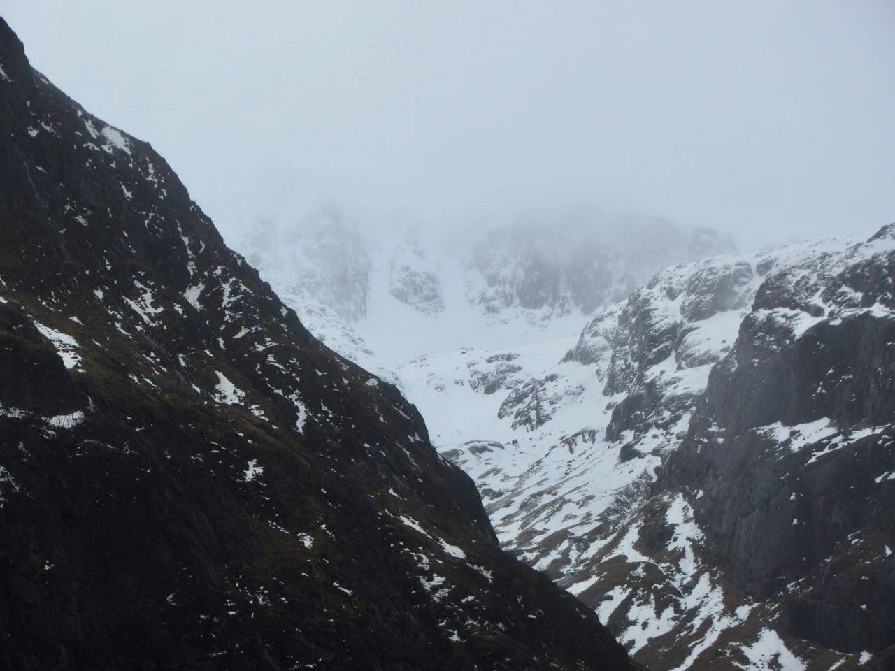
A brief clearing revealing Stob coire nan Lochan – note the new snow at high elevations

Looking into Coire Gabhail with new snow on Stob Coire Sgreamhach

The Aonach Eagach ridge

Stob Coire Raineach at 925m

Sgorr Dearg part of Beinn a Bheither above Ballachulish
Outlook; dry with lighter winds on Friday, and freezing at all levels. Strengthening Southerlies on Saturday with snow gradually turning to rain at all levels. Winds then veering Westerly increasing to gale or severe gale and freezing levels falling back to 900 metres.
Comments on this post
Got something to say? Leave a comment


