It felt like spring!
26th March 2018
A light dusting of new snow fell in the early hours of this morning after which it was generally a dry day. Winds were very light from the South-West and the freezing level was around 900 metres. Tomorrow may not feel so spring like – cloud and snow (above 500m) will arrive towards midnight on 26th March, initially across western ranges and then by Tuesday morning spreading to all areas. Snow level will increase to 1000-1200 metres during the day, but it will be heavy in places with 10-15cm of snow across the tops. Snow level dropping to 800m again towards the evening.
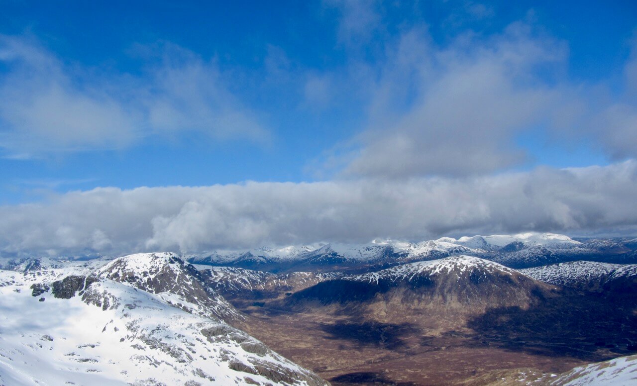
Looking Northwards towards the Mamores and Ben Nevis from Meall a Bhuiridh
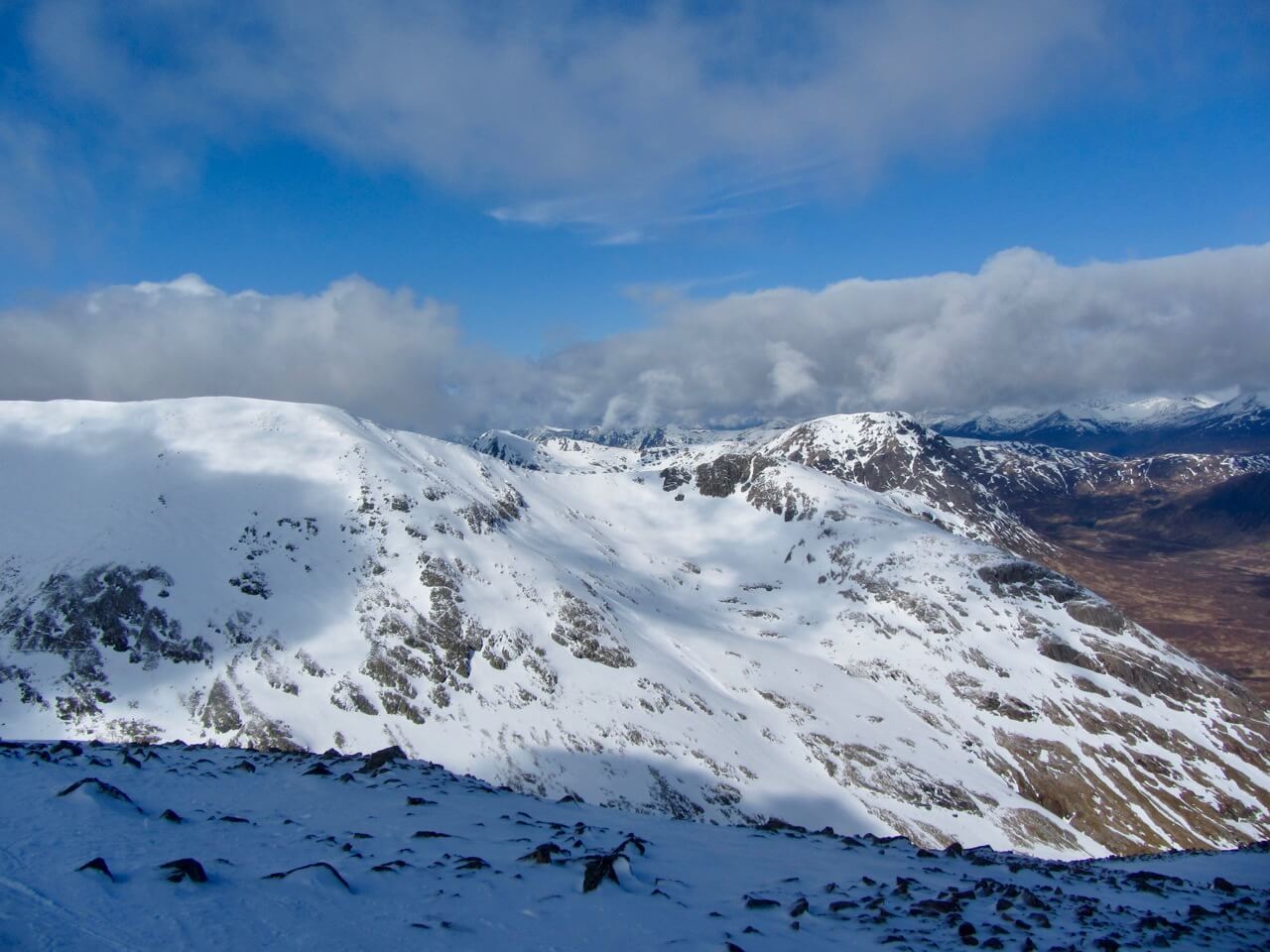
Same as above, but noted the cornices collapse debris on Sron na Creise

Cornice ridge line heading to Clach Leathad

looking south from Meall a Bhuiridh
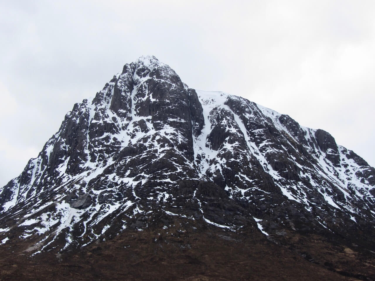
North aspect of Stob Dearg, Buachaille Etive Mor
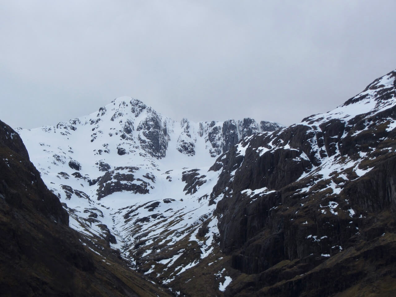
Stob Coire nan Lochan
Comments on this post
Got something to say? Leave a comment


