More Wintry
14th January 2019
Overnight was colder than of late with a frost above 500 metres leading to verglas on paths. The day began dry and clear but showers started just before mid-day falling as light snow above 750 metres. The winds were light from a Westerly direction. New snow amounts have not reached any real depth and are generally stable, mostly a very thin cover above 800 metres with slightly more at the summits. The old patchy snowpack remains very limited in extent mainly above 950 metres and deposits that exist are well bonded and stable. The avalanche hazard is Low.

Stob Coire nan Lochan wearing a whiter thin jacket

Buachaille Etive Mor

Meall a Bhuiridh at 850 metres heading for older snow depositsÂ

Another team looking for snow
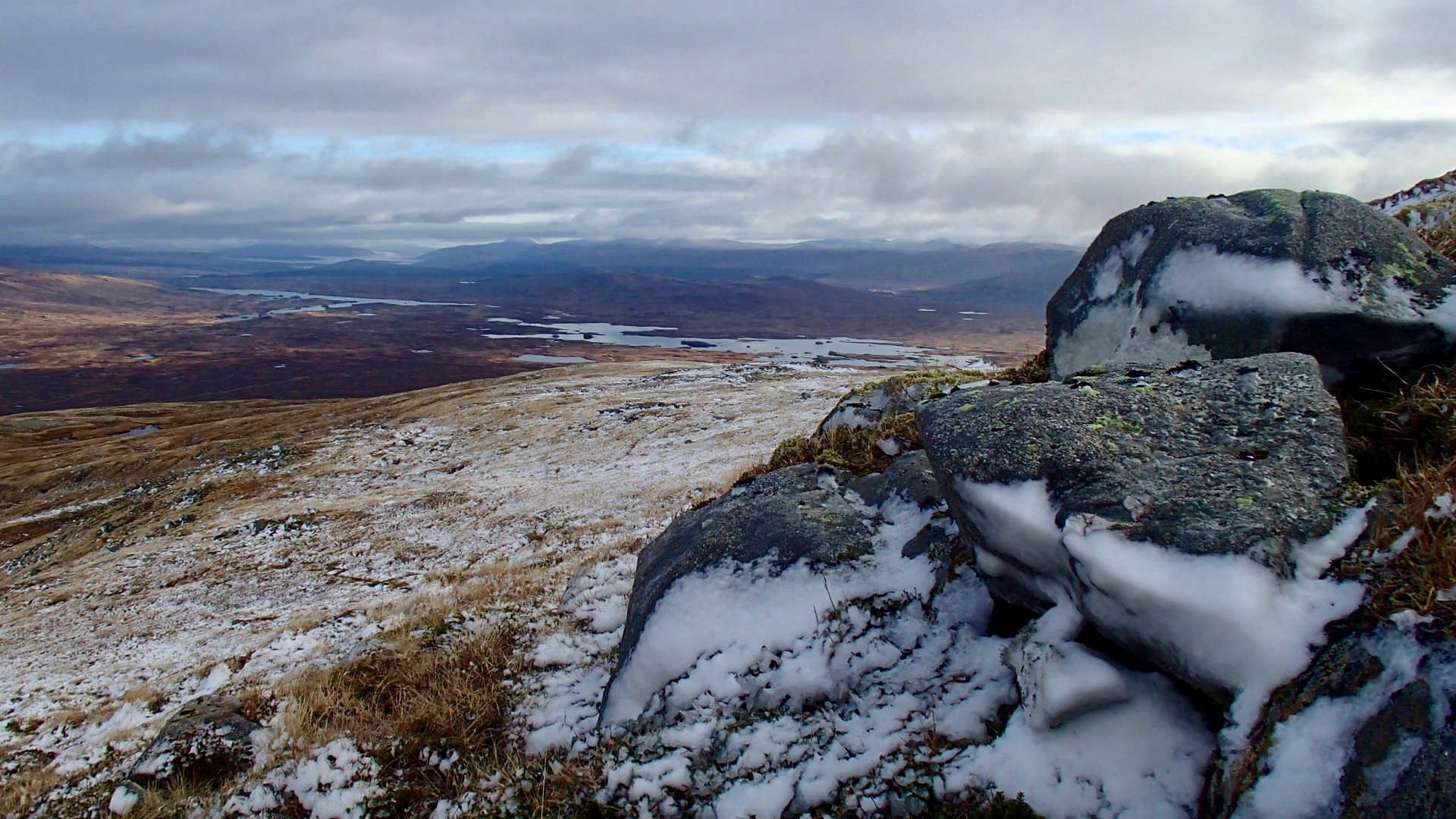
Yesterday’s winds plastered snow on the rocks. Looking across the Rannoch Moor

looking down on to the machine made snow at White Corries ski area

Buachaille Etive Mor show the extent of new snow
Comments on this post
Got something to say? Leave a comment


