A pleasant wintry day after a mild spell
4th February 2019
A brief mild spell affected the area with rain at all levels during the night and early hours of this morning. The freezing level then lowered to around 600 metres during the day which was predominantly dry with fresh Westerly winds. The surface layer of snowpack was rain affected at all levels followed by a re-freeze leading a surface crust above 600 metres. Some localised deeper drifts and areas of moderately bonded soft windslab still persist in sheltered areas such as summit gullies and on slopes with a North through to Easterly aspect mostly above 900 metres, gully exits and steep corrie headwalls are particularly affected. The avalanche hazard is Moderate.
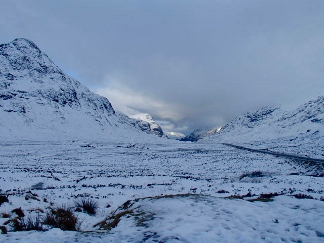
Buachaille Etive Beag on the left looking towards Glen Coe A82 road on the right @300 metres elevation
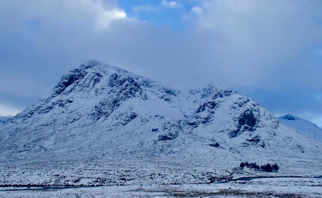
Buachaille Etive Mor
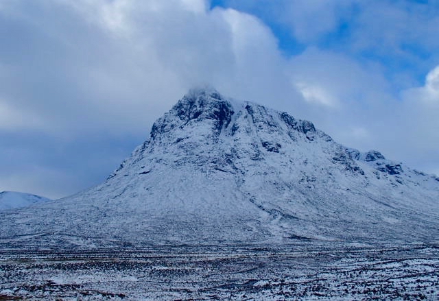
Buachaille Etive Mor

L to R Creag Dubh, Meall a Bhuiridh and Sron na CreiseÂ
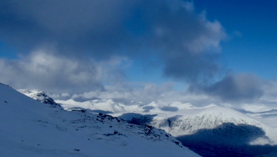
Summit of Buachaille Etive Mor on the left looking towards the Mamore hills, Ben Nevis  in the clouds
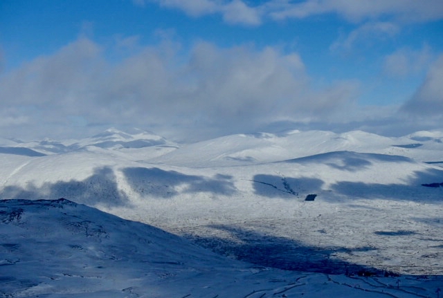
Ski area bottom right and across to Black Corries Lodge by the square woods the start of Rannoch Moor
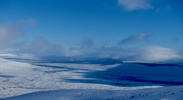
Rannoch Moor
Comments on this post
Got something to say? Leave a comment


