Slightly cooler
16th February 2019
The freezing level has remained above the summits but it was slightly cooler than of late. Intermittent light rain showers during the morning then brighter in the afternoon. Winds were fresh from a South-South-Westerly direction. The snowpack is moist but generally well bonded in most locations. Some isolated pockets of wet snow instabilities still exist mainly on steeper North to Easterly aspects above 900 metres. Gully exits and steep coire headwalls are particularly affected and cornices prone to collapse. The avalanche hazard is Low.
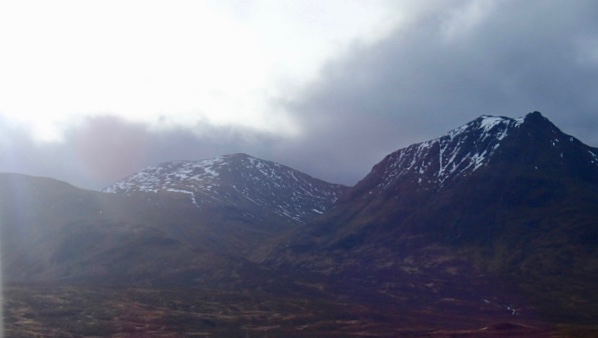
Meall a Bhuiridh with Sron an Creise on the right.

Buachaille Etive Mor

Small heard of red deer at around 450 metres…. is this a sign it may get colder soon?
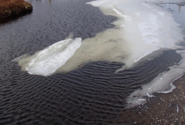
The thaws continues.
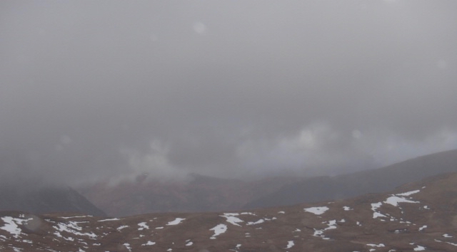
Weather and visibility at around mid-day
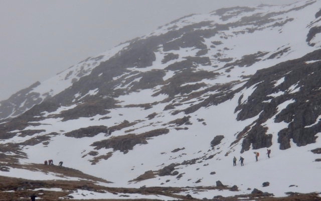
Folks looking for suitable slopes to practise winter skills.

The 3 sisters of Glen Coe
Looking ahead; Monday, Â snow expected across the Western and central Highlands. Westerly summit gales. Freezing level on Monday 1000 metres. Becoming mainly dry on Tuesday, but a warm front will bring widespread rain later in the day preceded by a period of snow above 800 metres. Freezing level on Tuesday 1000 metres rising well above summit level later.
Comments on this post
Got something to say? Leave a comment


