Snow showers fell to 250 metres
16th March 2019
Snow lying mainly above 250 metres with some deeper drifts at high elevations, exposed ridges scoured and icy where crampons are required. Poor visibility through most of the day particularly in the heavier snow showers. Winds were 20 -30 mph mainly from the East.
Unstable windslab persists mainly North through East to South-East aspects above 800 metres. Through the day, additional weakly bonded windslab deposits were developing mainly on South-West to North-West aspects above 900 metres. Cornices are fragile. The avalanche hazard is Considerable.
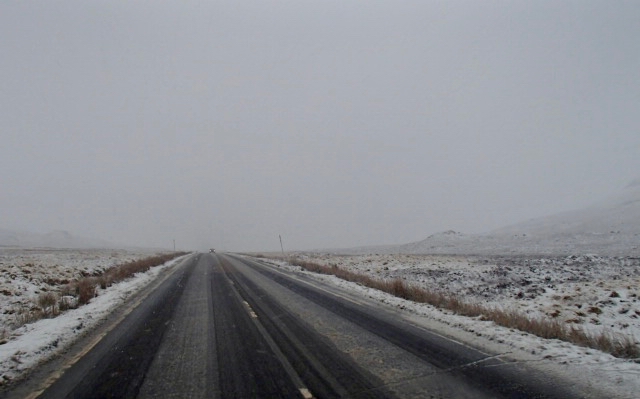
The A82 through Glen Coe this morning snow lying at 300 metres and below

Poor visibility for most of the day not great for photos, this is taken at around 940 metres
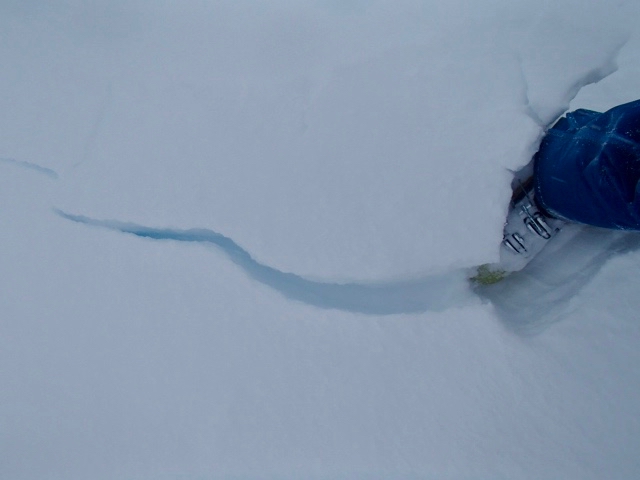
Unstable windslab cracking underfoot
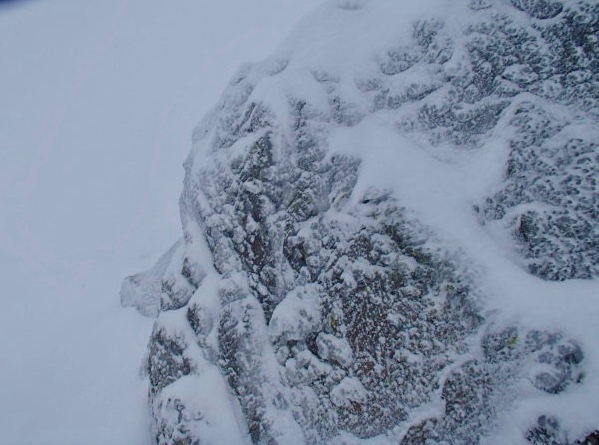
Heavy rime ice forming on the exposed rocksÂ
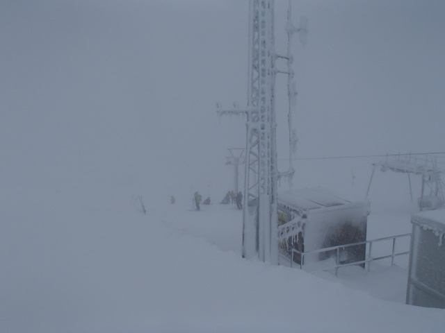
Near the summit of Meall a Bhuiridh @ 1060metres again, rime ice coating the arial mast. Visibility 30 metres at best.

A82 Â early afternoon at 320 metres
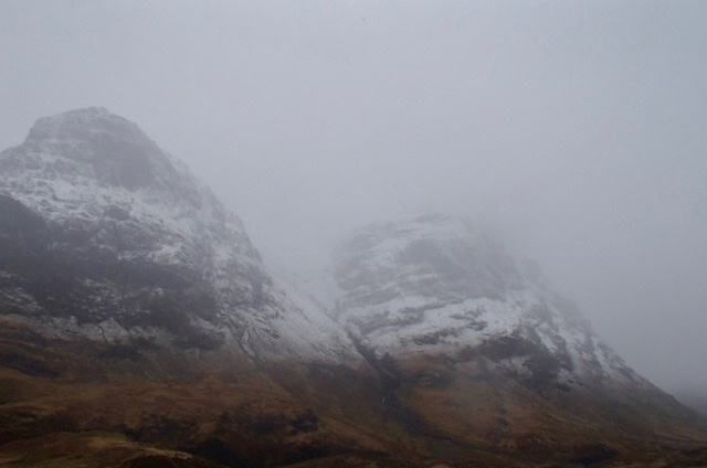
Looking Gearr Aonach and Aonach Dubh the snow-line distinct.
Comments on this post
Got something to say? Leave a comment


