Snow down to lower levels
16th December 2019
Snow showers, these were heavy at times and fell mainly above 300 metres ( onto the main A82 road). The winds were generally strong, direction was variable in the morning then mostly South-Westerly. The freezing level was around 700 metres.

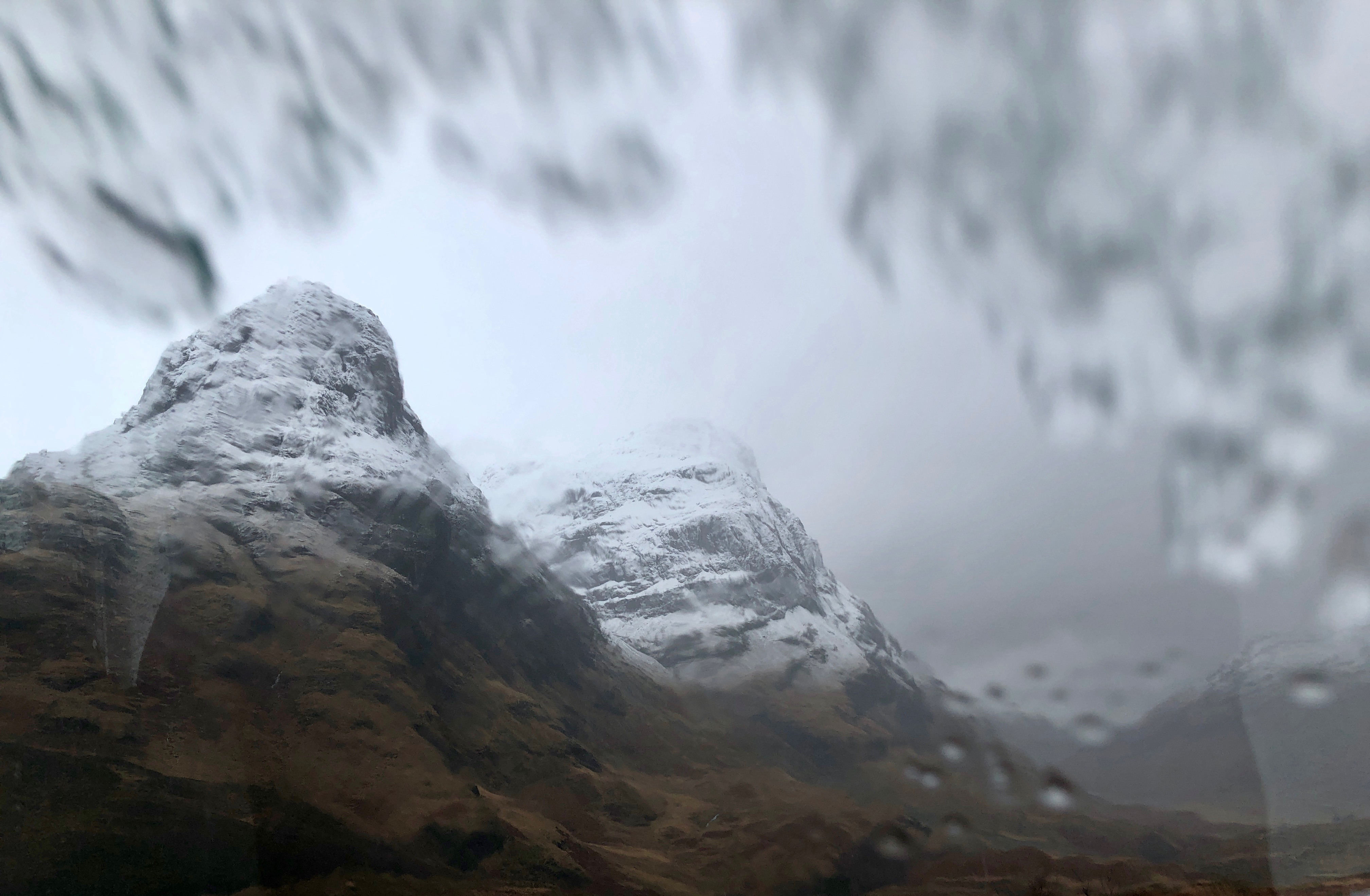
Driving through Glen Coe today was a little tricky.
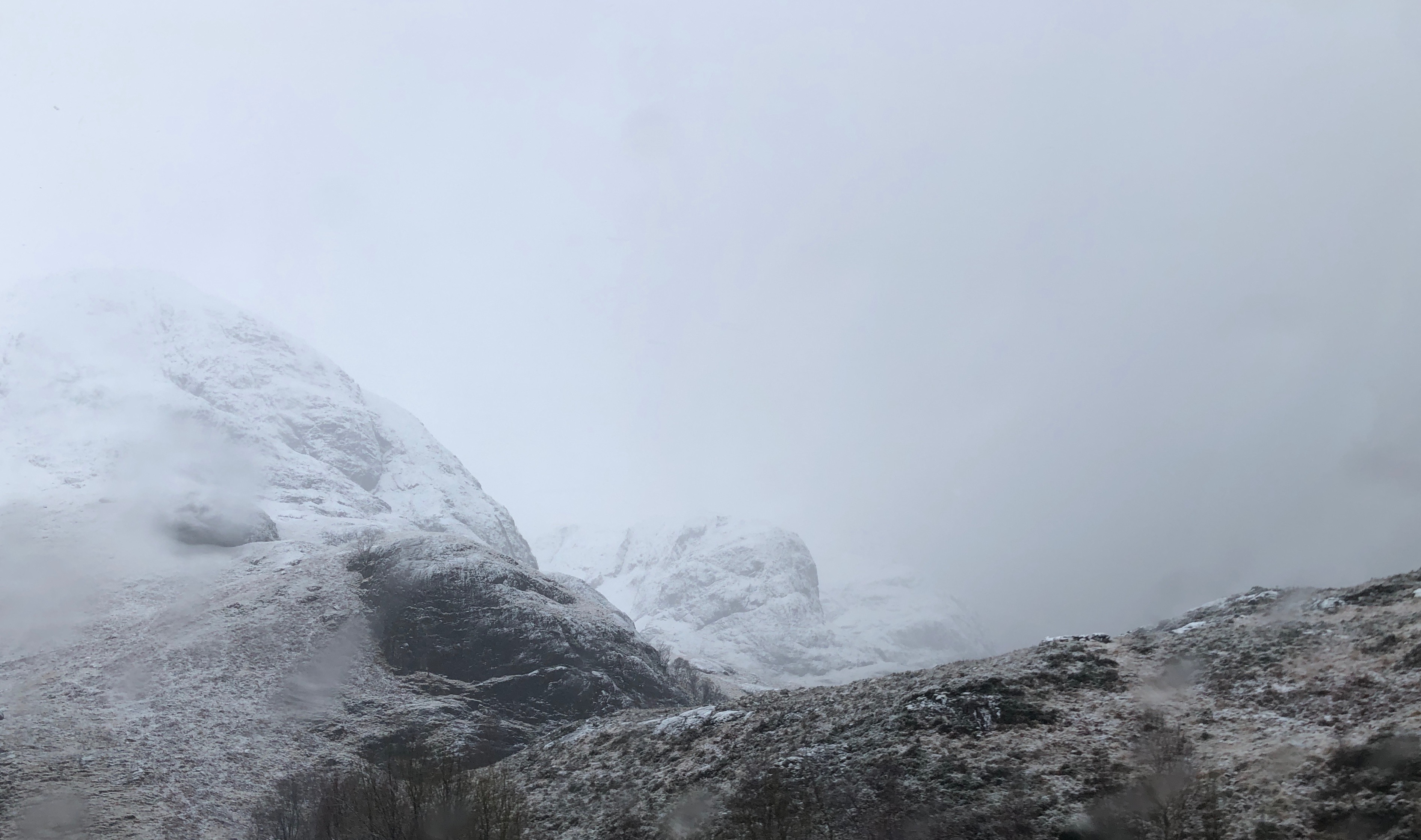
The 3 sisters of Glen Coe seen from the A82 road driving through the gorge.
Slushy snow on the windscreen.

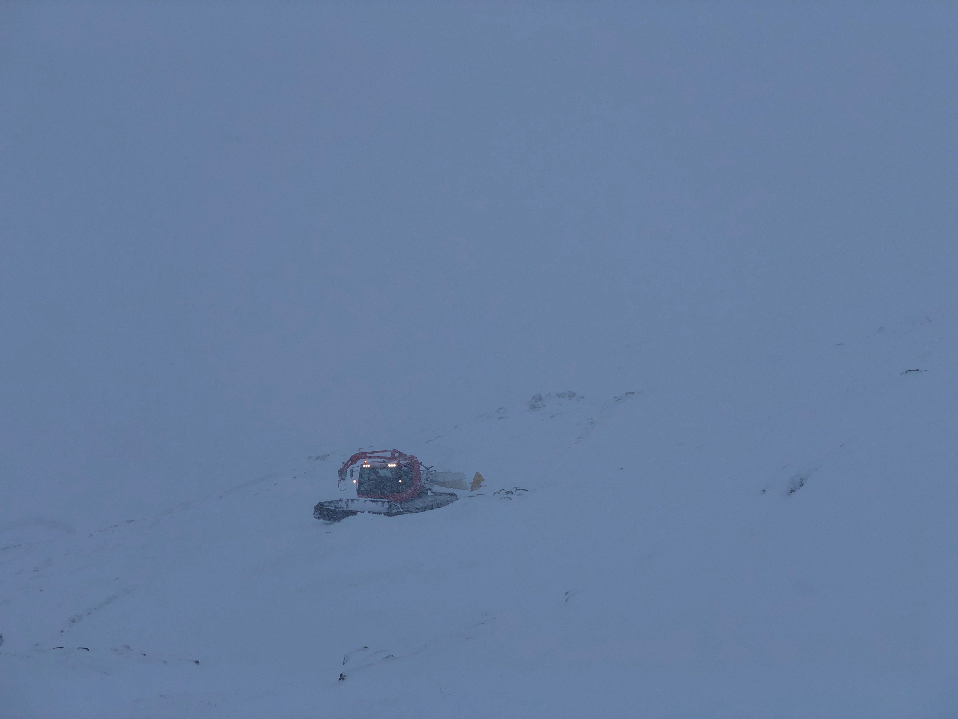
Poor visibility on Meall a Bhuiridh in the heavy snow showers.
Where’s the piste gone!
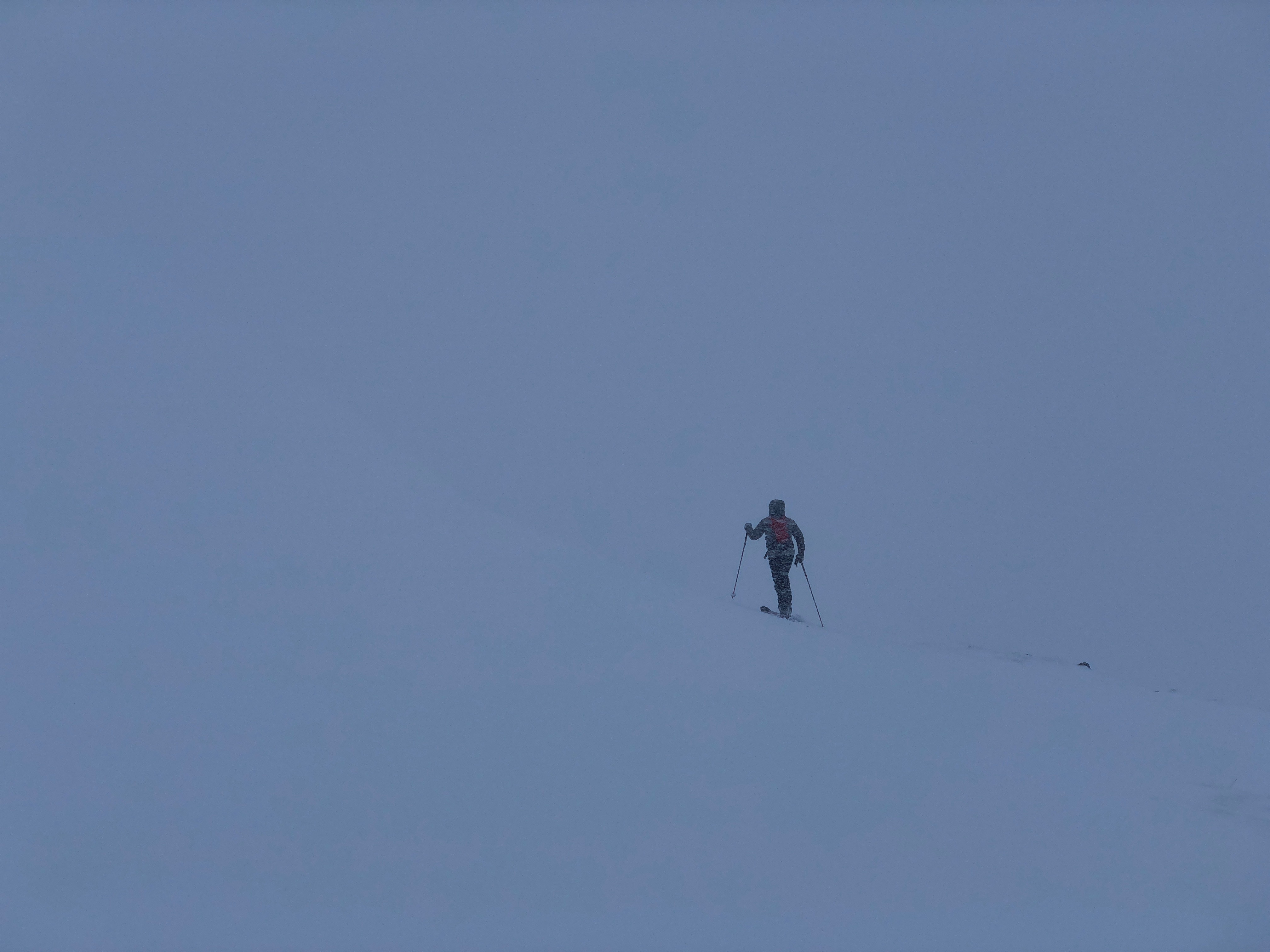
Ski tourer heading into the whiteout.
Evidence of weakly bonded windslab deposits, easy failures in the snowpack.
Overnight, further accumulations of weakly bonded windslab will continue to form on North-West through North to East aspects above 850 metres. Areas mainly affected will be steep slopes in sheltered locations, particularly corrie rims, gully flanks and exits. Other aspects may also be affected due to cross loading and cornices will be soft and fragile. The avalanche hazard will be Considerable.
Comments on this post
Got something to say? Leave a comment


