Gale Force Winds
13th January 2020
There were a few light snow showers overnight then it was a predominately dry morning with strong Southerly winds precipitation started up just after mid-day. The freezing level rose quite dramatically to around 1000 metres and winds strengthened, snow showers fell above 800 metres most of them blown to lower elevations and disappearing. New localised pockets of windslab were forming in sheltered locations mainly on Northerly aspects above 850 metres. Rain at lower levels was depleting the snow cover.
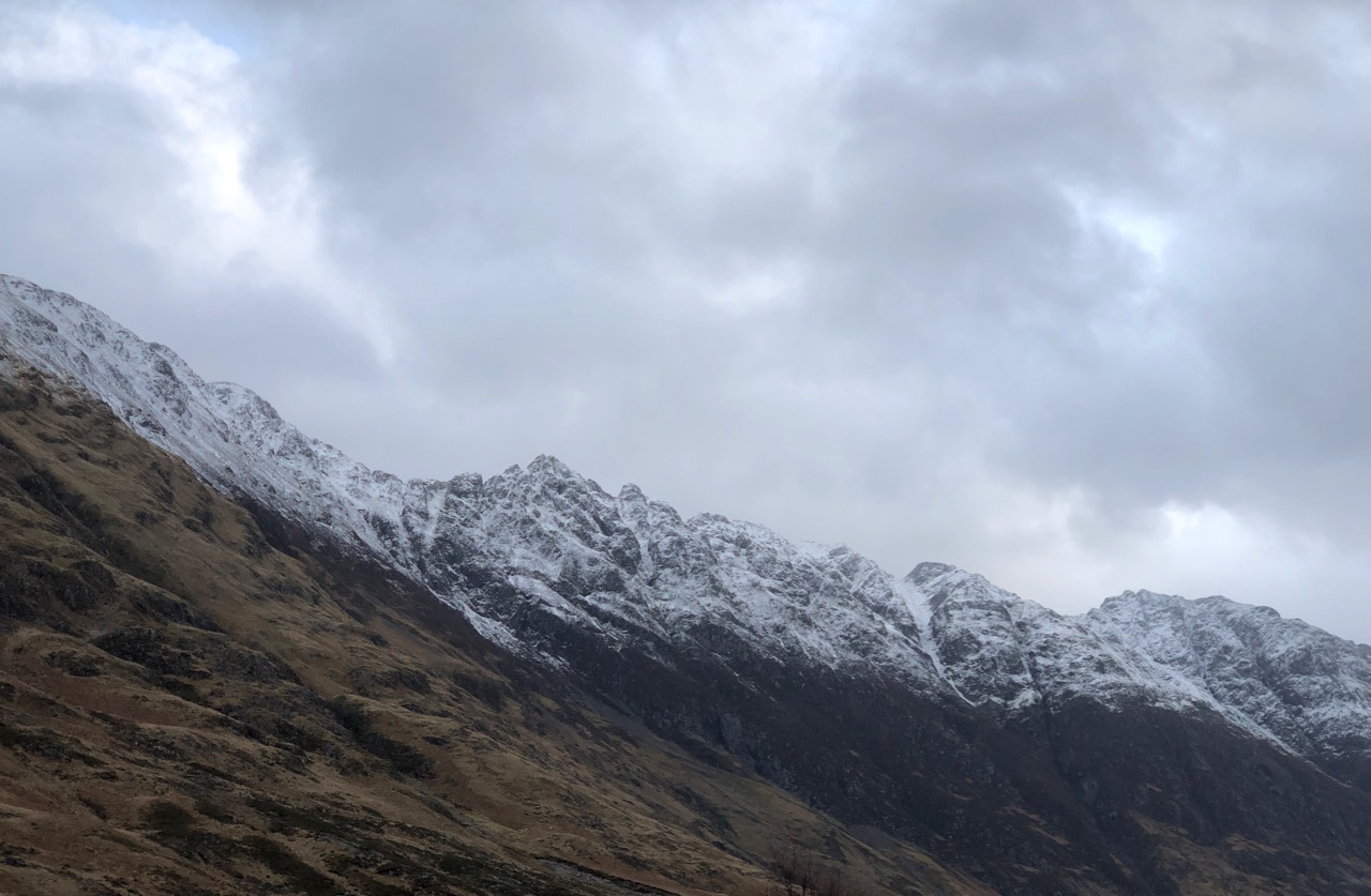
Southerly aspect of the Aonach Eagach.

Looking into Stob Coire nam Beith snow cover quite thin.
Stob Coire nan Lochan.

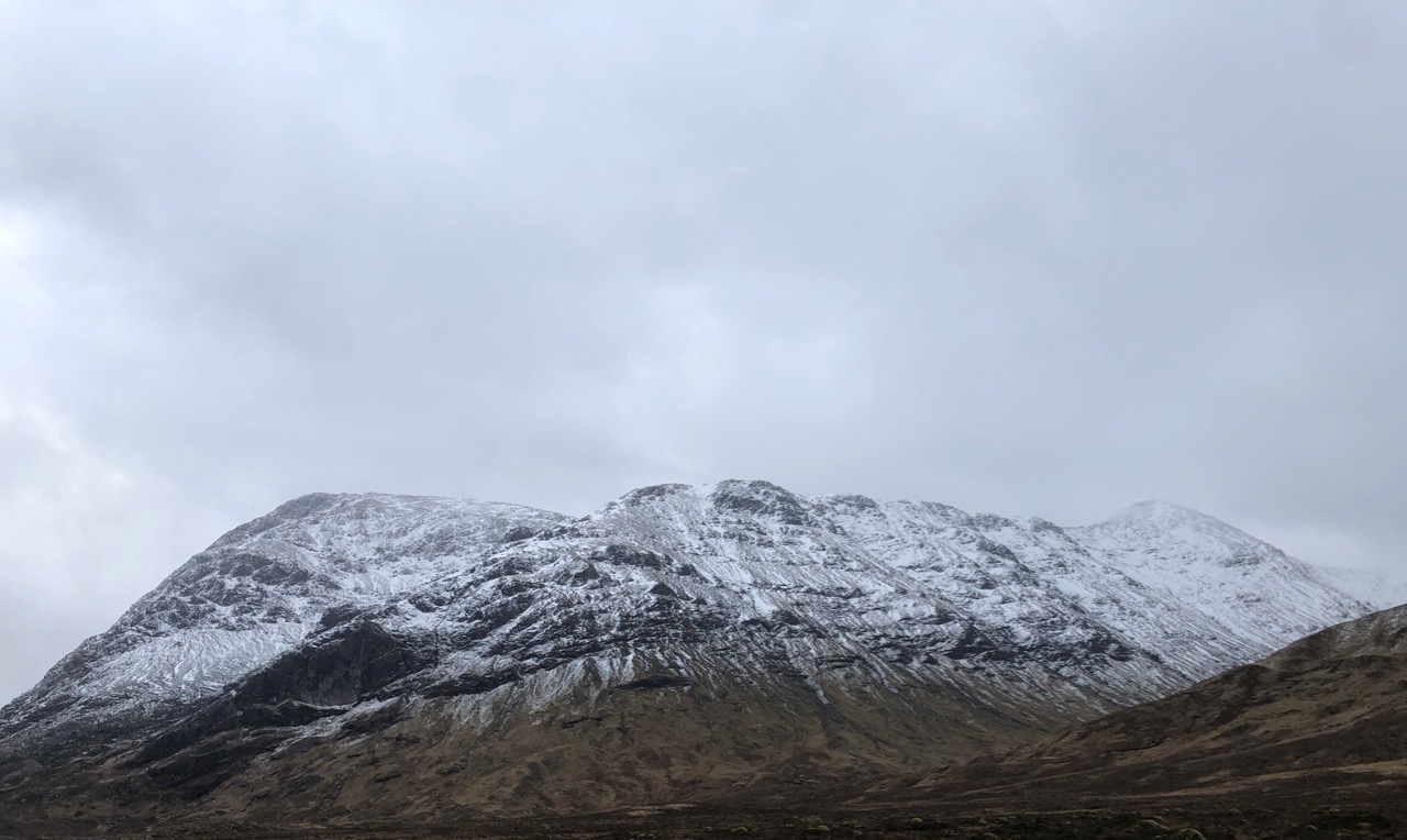
Coire Gahail.

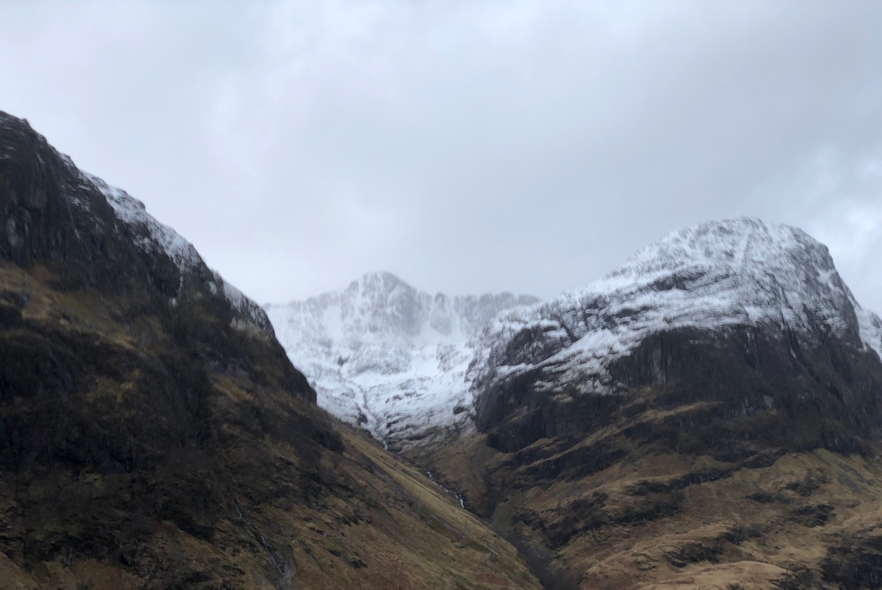
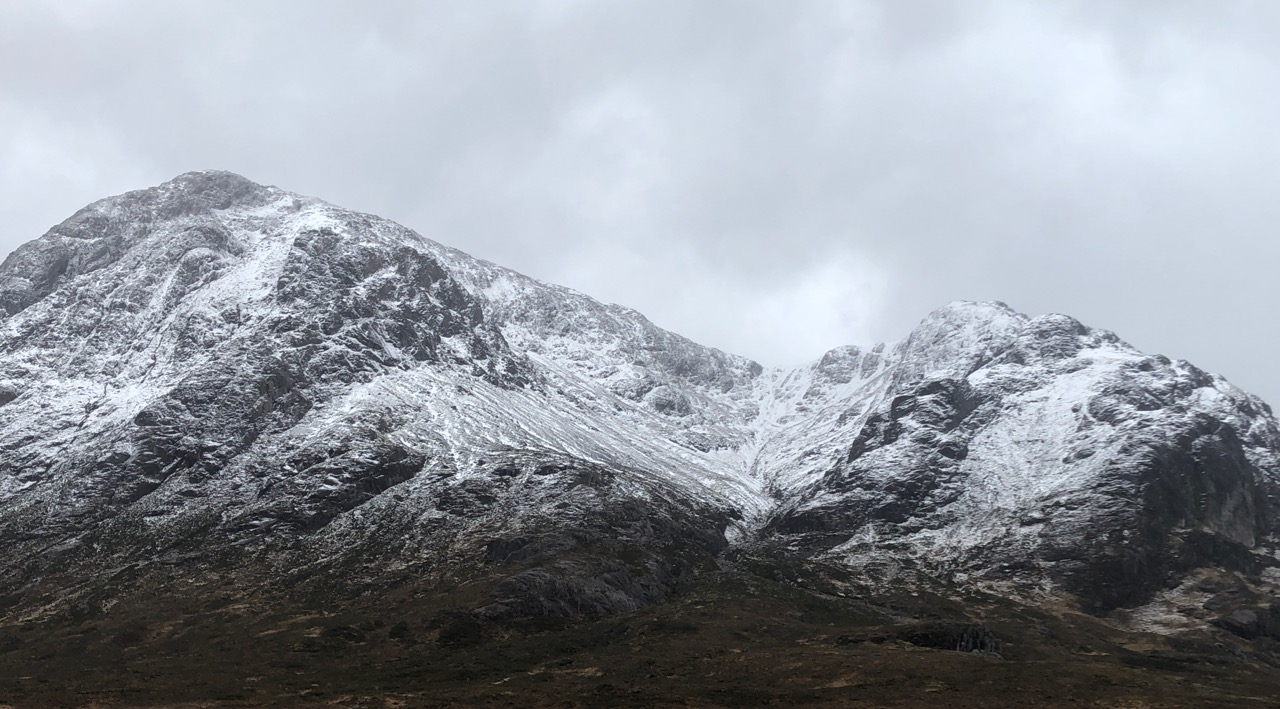
Buachaille Etive Beag.
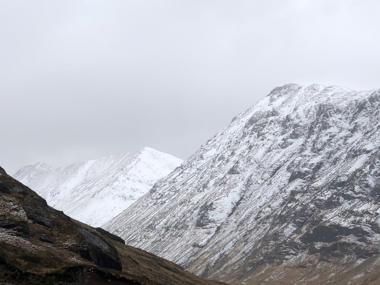
Buachaille Etive Mor.
Stob Coire Altruim – note the winds transporting snow off the summit ridges.
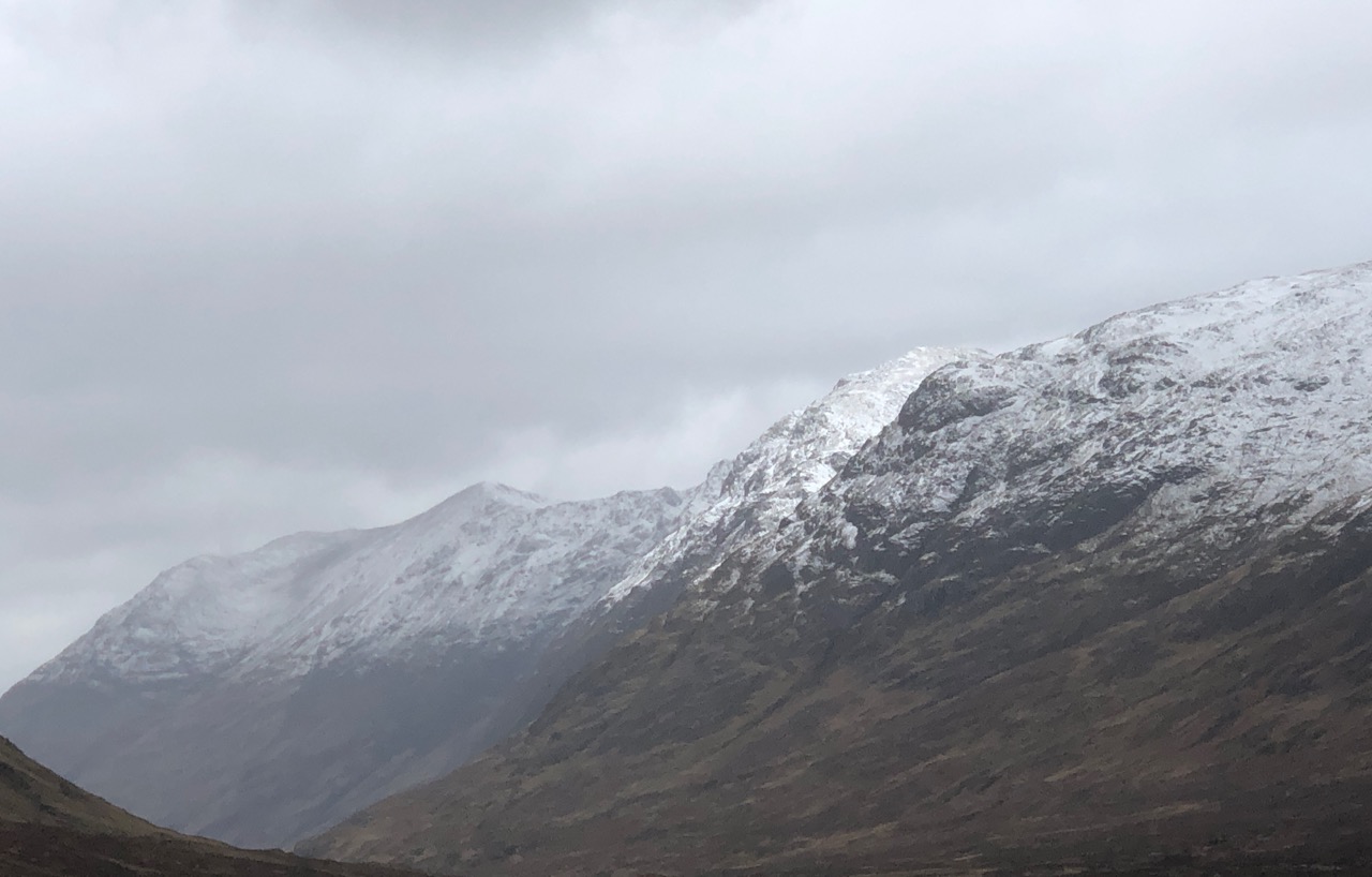
Buachaille Etive Mor and Coire na Tulaich.

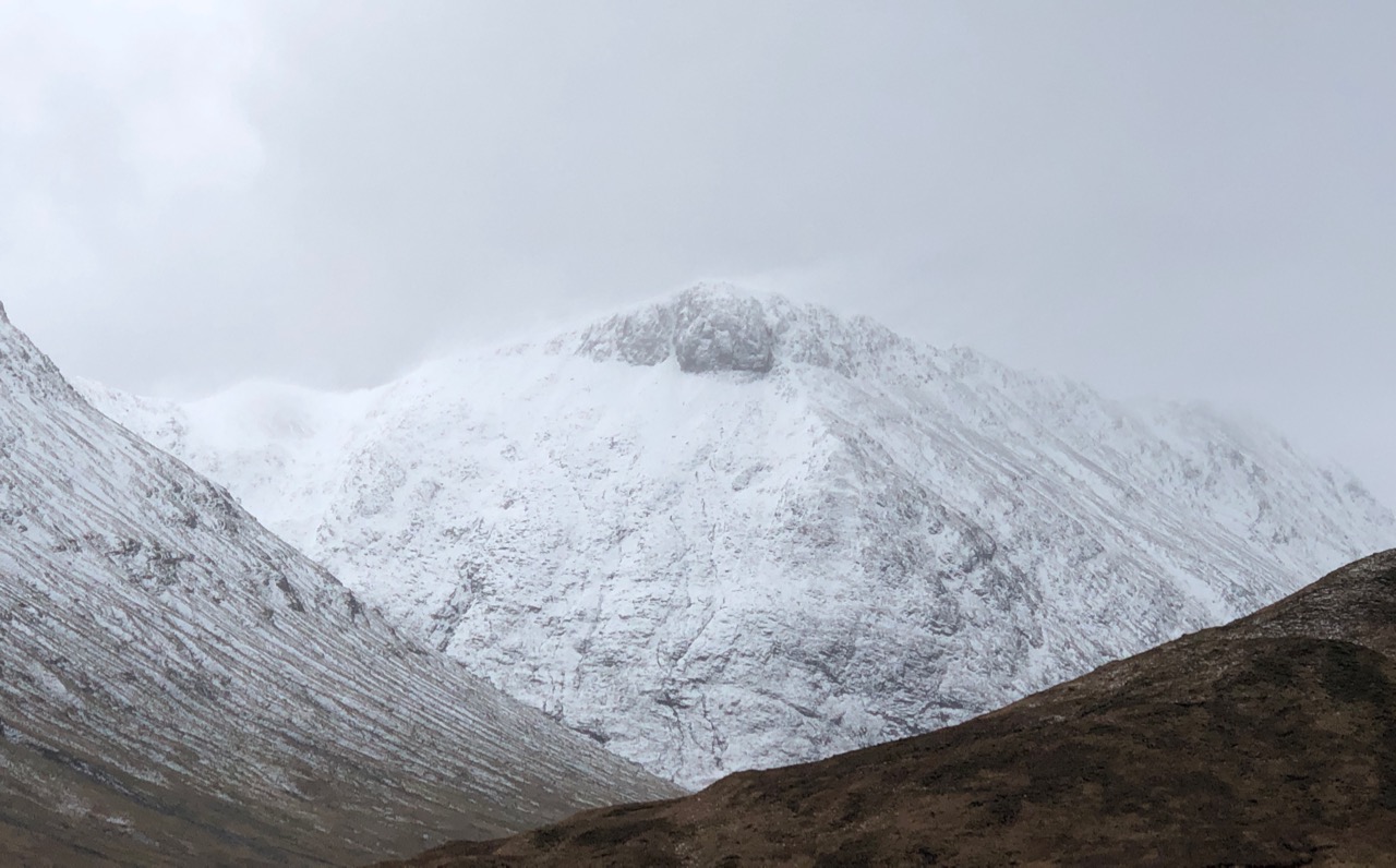
Coire na Tulaich.
Easterly aspect of Buachaille Etive Mor.
Westerly end the Aonach Eagach.
Comments on this post
Got something to say? Leave a comment


