More Wintery
27th January 2020
New snow overnight and today has given a more Wintery feel to the area. Fresh to strong South-Westerly winds are forming localised areas of unstable windslab in sheltered locations mainly above 850 metres. These accumulations will continue to develop overnight and on Tuesday with sheltered gullies and North-West through North to Easterly aspects most affected particularly where old snow underlies. Cornices will be fragile and prone to collapse.
Ice is forming on rocks, paths and watercourses giving slick underfoot conditions in places, the exposed older snow is also firm and icy.

Wind transport of snow at 950 metres, the sun made a very brief appearance.

Ice forming on rocks at 900 metres on Meall a Bhuiridh.
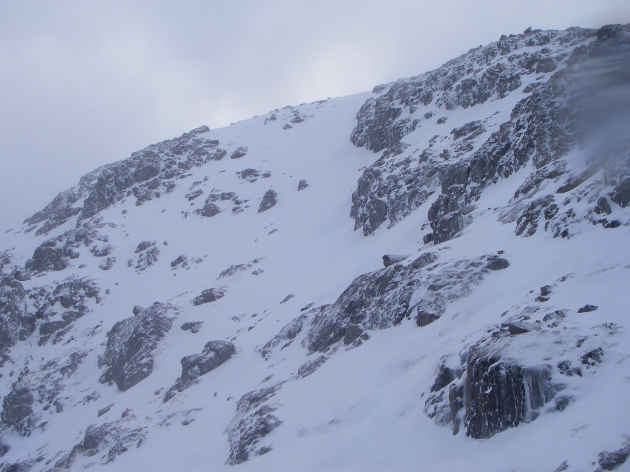
North-Easterly aspect of Meall a Bhuiridh.

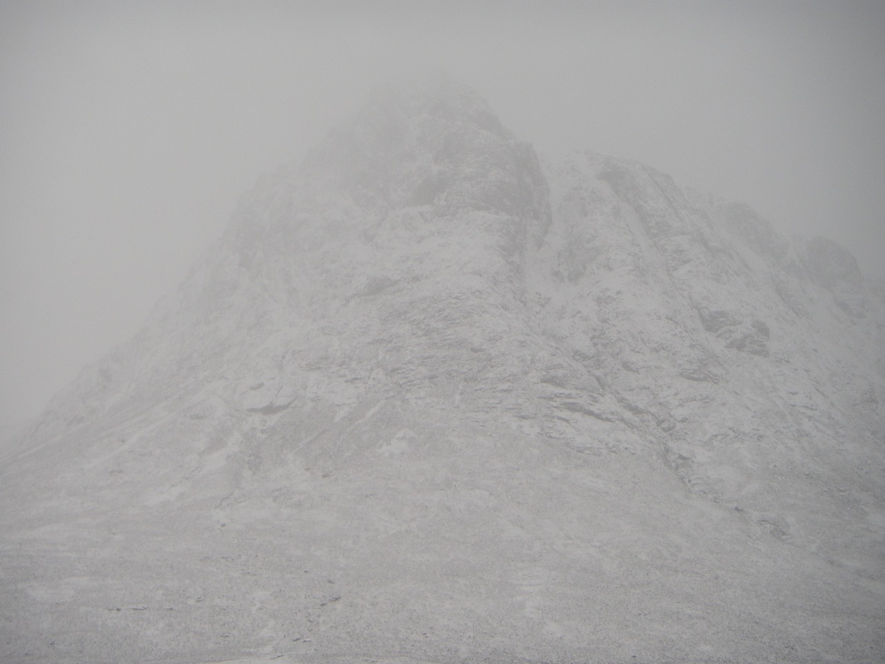
Stob Dearg, Buachaille Etive Mor made a brief appearance.
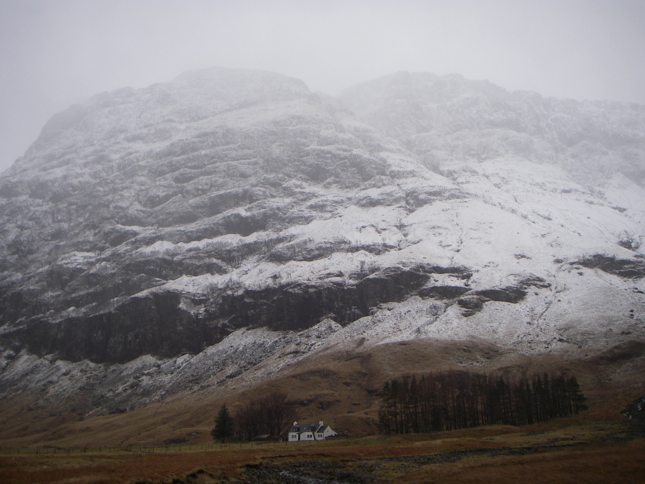
Stob Dearg, Buachaille Etive Mor from the road.
Aonach Dubh, North Face to left West Face to right.
Comments on this post
Got something to say? Leave a comment


