Rain, Rain and more Rain!
11th January 2020
Overnight, the freezing level rose to well above the summits with storm force Southerly winds these were accompanied by heavy persistent rain. These condition have continued through the day resulting in a massive thaw stripping most of the snow cover leaving only patches of the older snow in sheltered northerly locations. The freezing level did lower slightly which has produced a dusting of snow above 1000 metres.
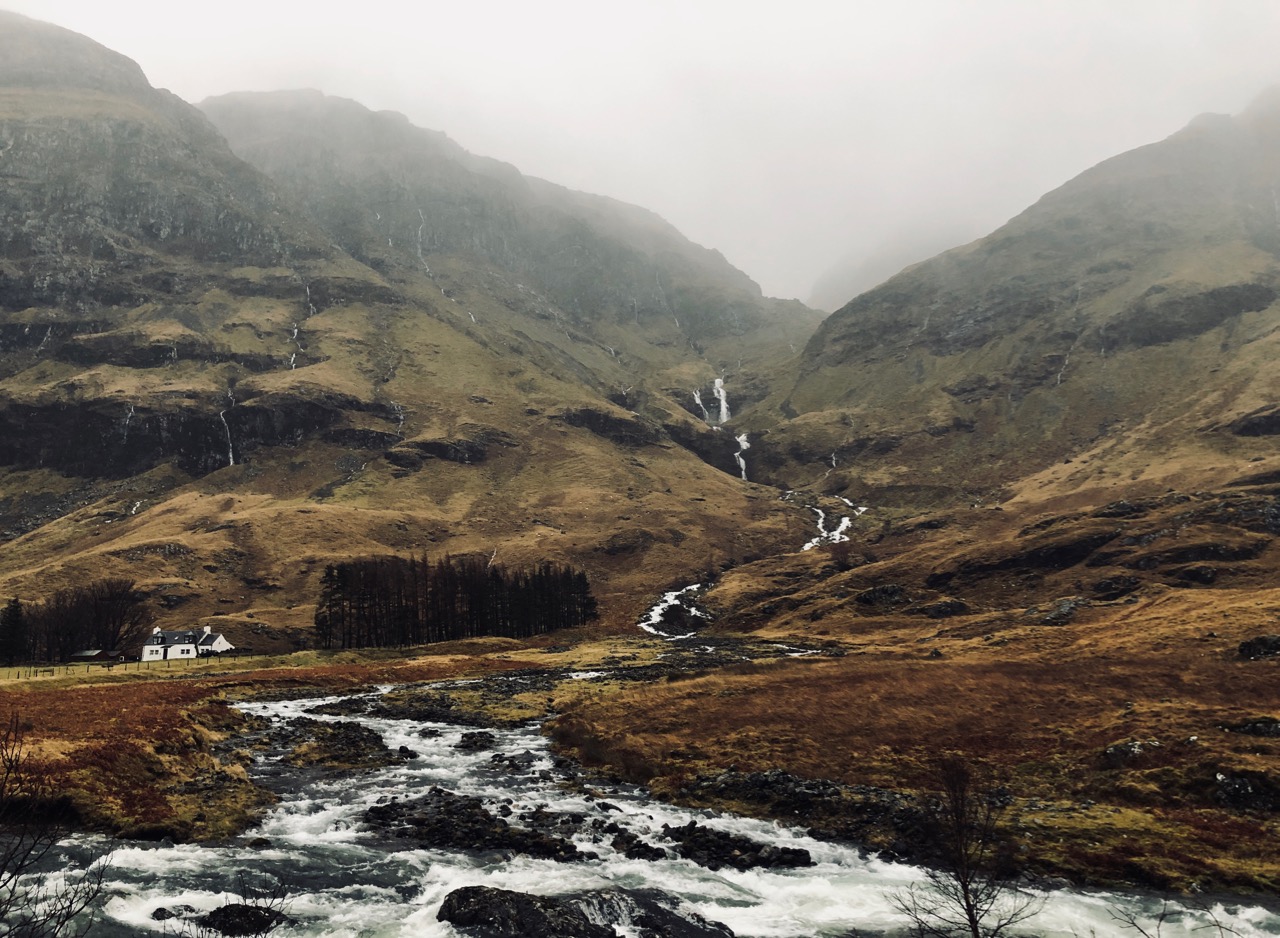
Looking into Stob Coire nam Beith not a patch of snow to be seen only large amount of snow melt pouring off the hill sides.
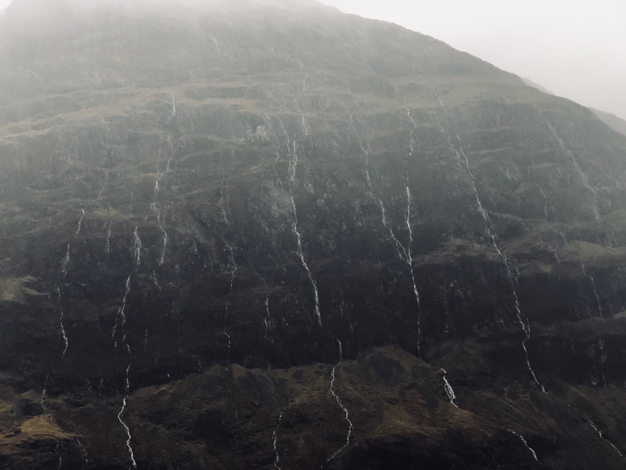
Northerly aspect of Aonach Dubh with its rivulets on rain water pouring down.
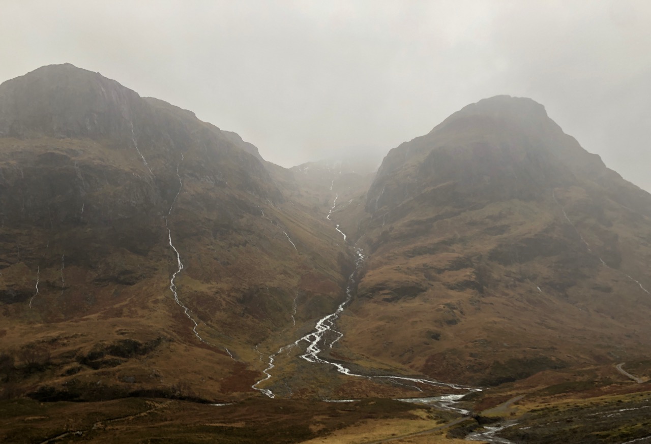
Looking into Stob Coire nan Lochan, saturated snow patches can be seen above 950 metres in the misty clouds.
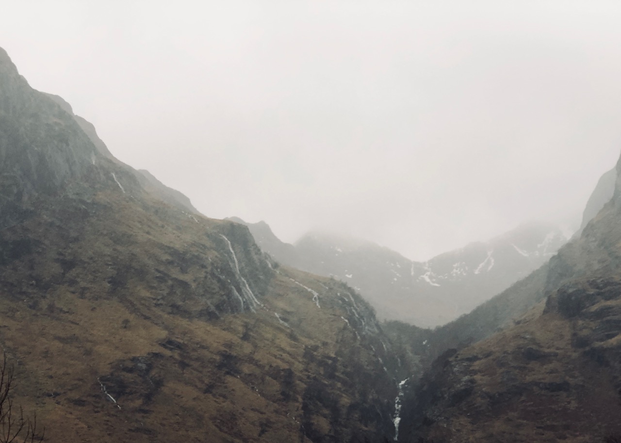
Looking into Coire Gabhail (the lost valley) note the patches of remaining snow.

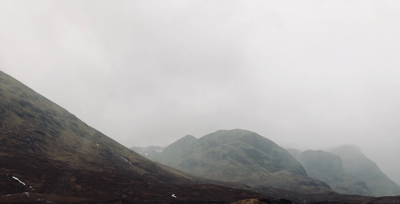
Buachaille Etive Mor.
Snow patches at the head of Lairig Eilde to the left of Sron na Lairig.
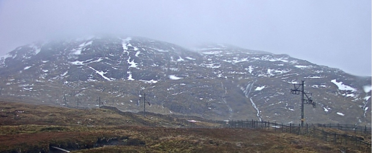
Meall a Bhuiridh from the Winterhighland web cam.

New snow @ 1100 metres at 3pm, but more to come this evening.
Comments on this post
Got something to say? Leave a comment


