Very windy becoming wet later
7th January 2020
Stormy conditions with very strong winds are affecting the area, a period of heavy rain overnight gave way to a drier morning with rain returning later. It is very mild.
Outlook is becoming colder overnight with freezing levels of around 600 metres . Snow showers, some heavy with possibility of hail and thunder. Winds will be from the West South West initially gale decreasing to strong through the course of the day. Winter returns.
Areas of unstable windslab will form on steeper slopes particularly where older refrozen snow exists. These areas will mainly be sheltered gullies and Northerly to Easterly aspects above 850 metres, weakly bonded cornices will also exist above these aspects.
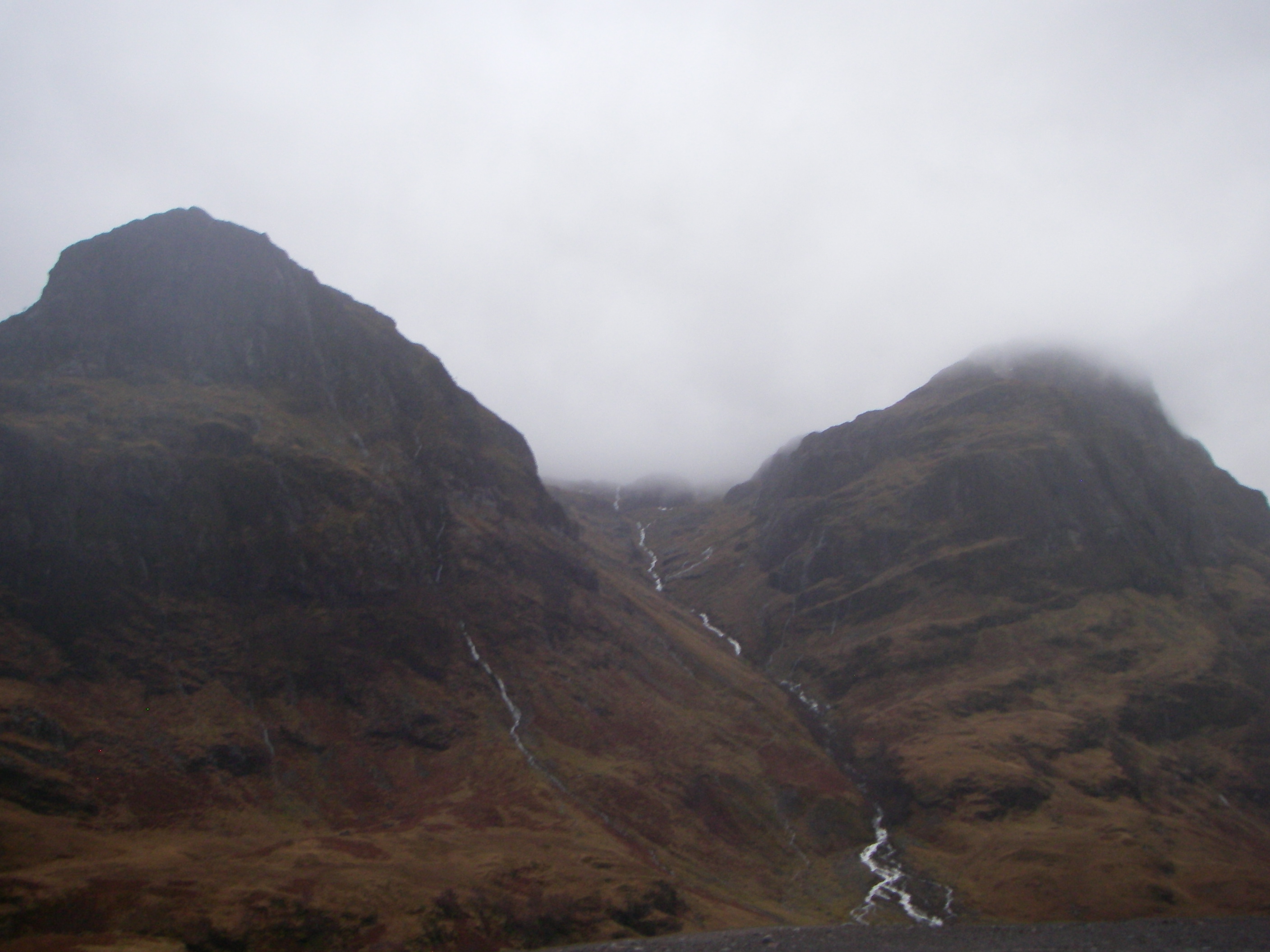
Gearr Aonach left Aonach Dubh right
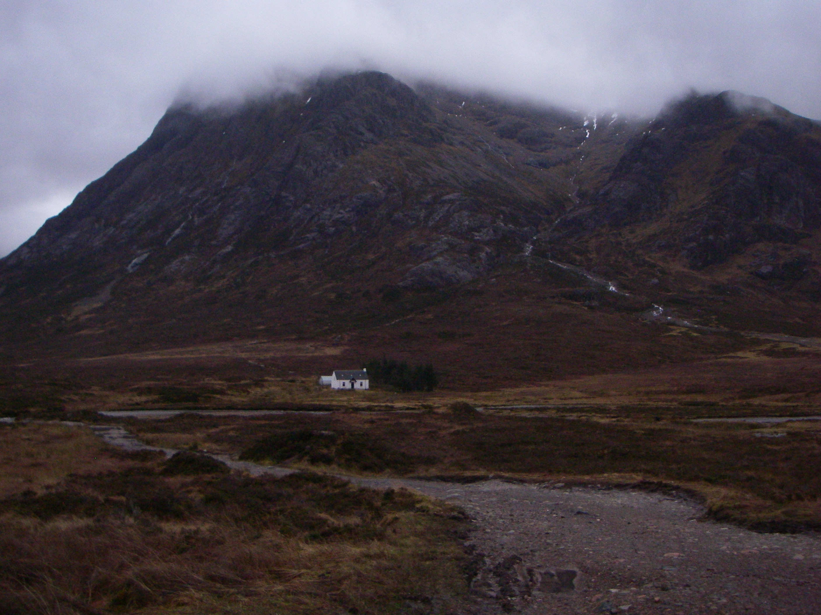
Stob Dearg Buachaille Etive Mor
Aonach Eagach left Aonach Dubh right
Comments on this post
Got something to say? Leave a comment


