What a difference a day makes
2nd February 2020
After yesterdays mild wet day it was much more wintry today. The freezing level lowered to around 500 metres and snow showers fell down to 300 metres, winds were fresh from the South-Easterly direction. It was then slightly drier in the afternoon with some clearer spells. The old moist snowpack is firm and stable. New snow accumulations are generally light but some shallow deposits of windslab have formed in wind sheltered locations, these are currently not significant. The greatest accumulations are on North-West to North-East aspects above 900 metres. The avalanche hazard is Low.

The west face of Aonach Dubh and looking into Stob Coire na Beith. Compare this to yesterdays blog photo to check out the difference.

Aonach Eagach Ridge – Southerly aspect.
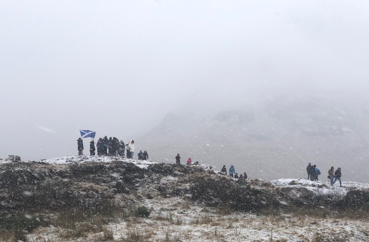
Plenty of visitors in the glen today,this scene is at 300 metres.
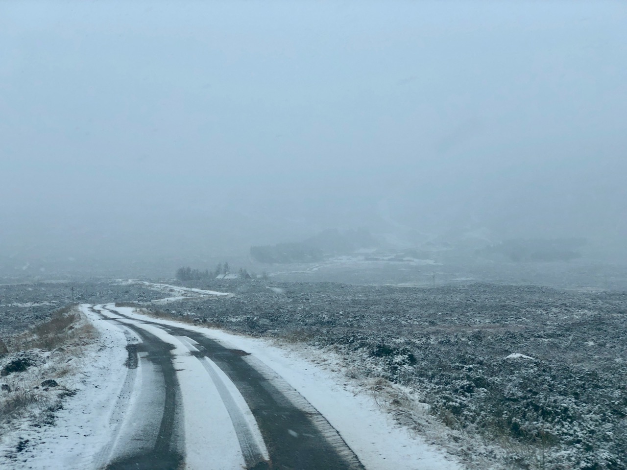
The road up to the the ski area this morning.

A group practicing winter skills on Meall a’ Bhuiridh.

Poor visibility in the snow showers today. Again, compare a similar photo from yesterdays blog to see new snow amounts.
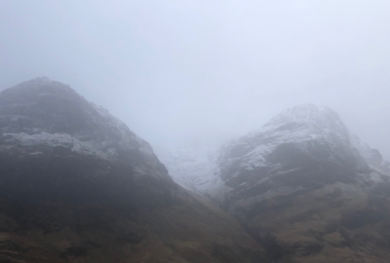
Looking into Stob Coire na Lochan.

Ski tourers heading up the hill.
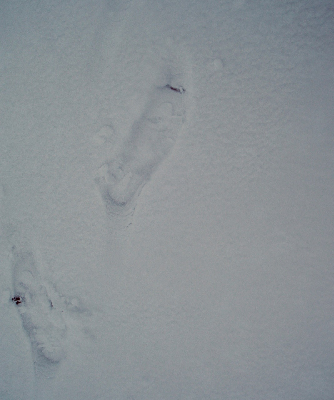
New snow amounts are relatively shallow but developing.
Comments on this post
Got something to say? Leave a comment


