Strong Westerly winds transporting snow
20th February 2020
Overnight, the freezing level rose to around 1200 metres and there was a few hours of moist precipitation some falling as sleet and snow over the highest summits and some rain below 900 metres. The strong West-South-Westerly winds transported and scoured slopes forming deposits of weakly bonded windslab in wind sheltered locations. The freezing level fell during the early hours of the morning and remained so with some snow showers, these were often quite blustery and continued through the day interspersed with brighter, calmer spells.

Southerly aspect of the Aonach Eagach Ridge

Looking into Stob Coire nam Beith this morning.
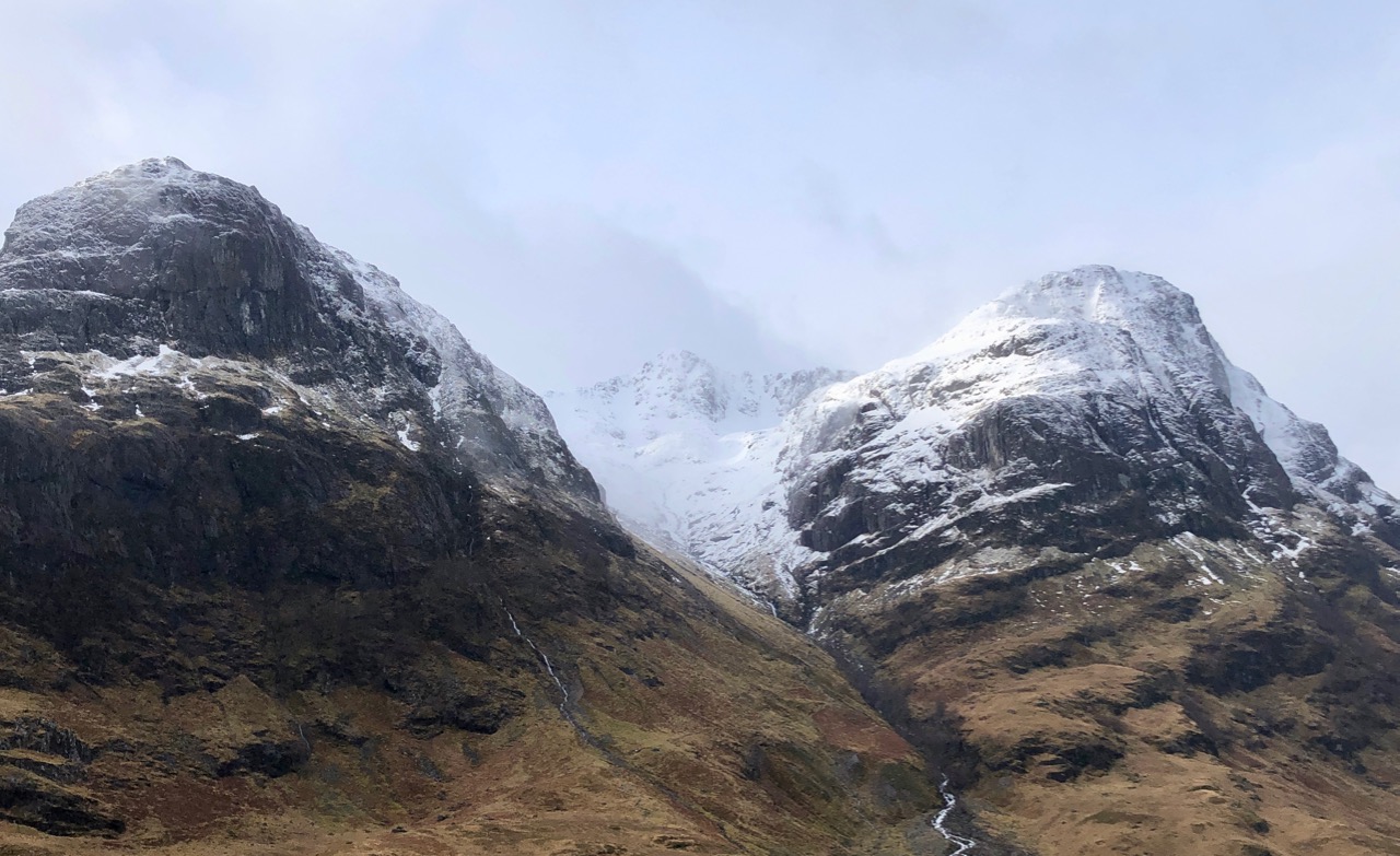
Stob Coire nan Lochan this morning.

Beinn Fhada with Stob Coire Sgreamhach at the far end.

Stob Dearg and Coire na Tulaich.
Meall a’ Bhuiridh.

Buachaille Etive Beag
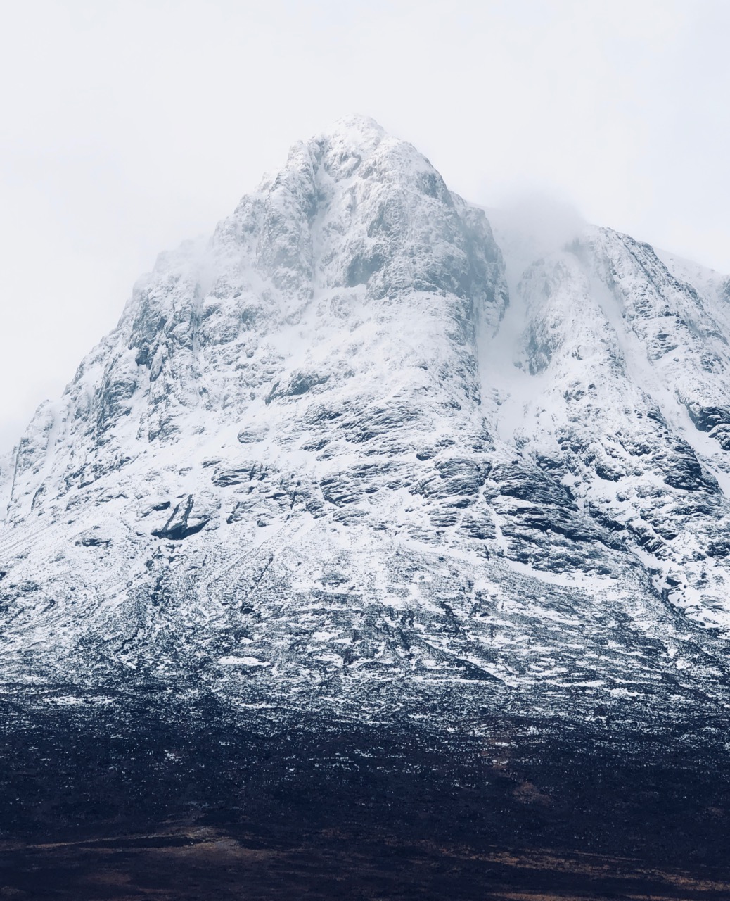
Northerly aspect of Stob Dearg
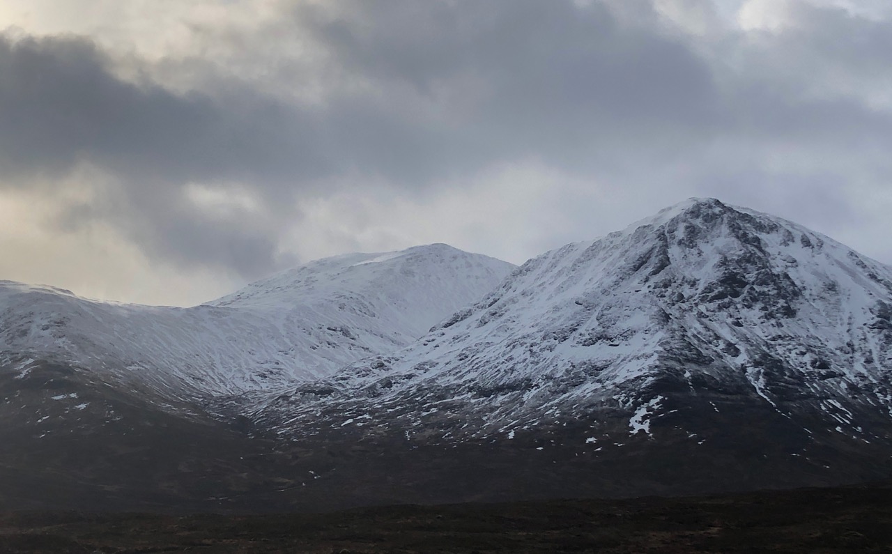
Meall a’ Bhuiridh and Sron na Creise.
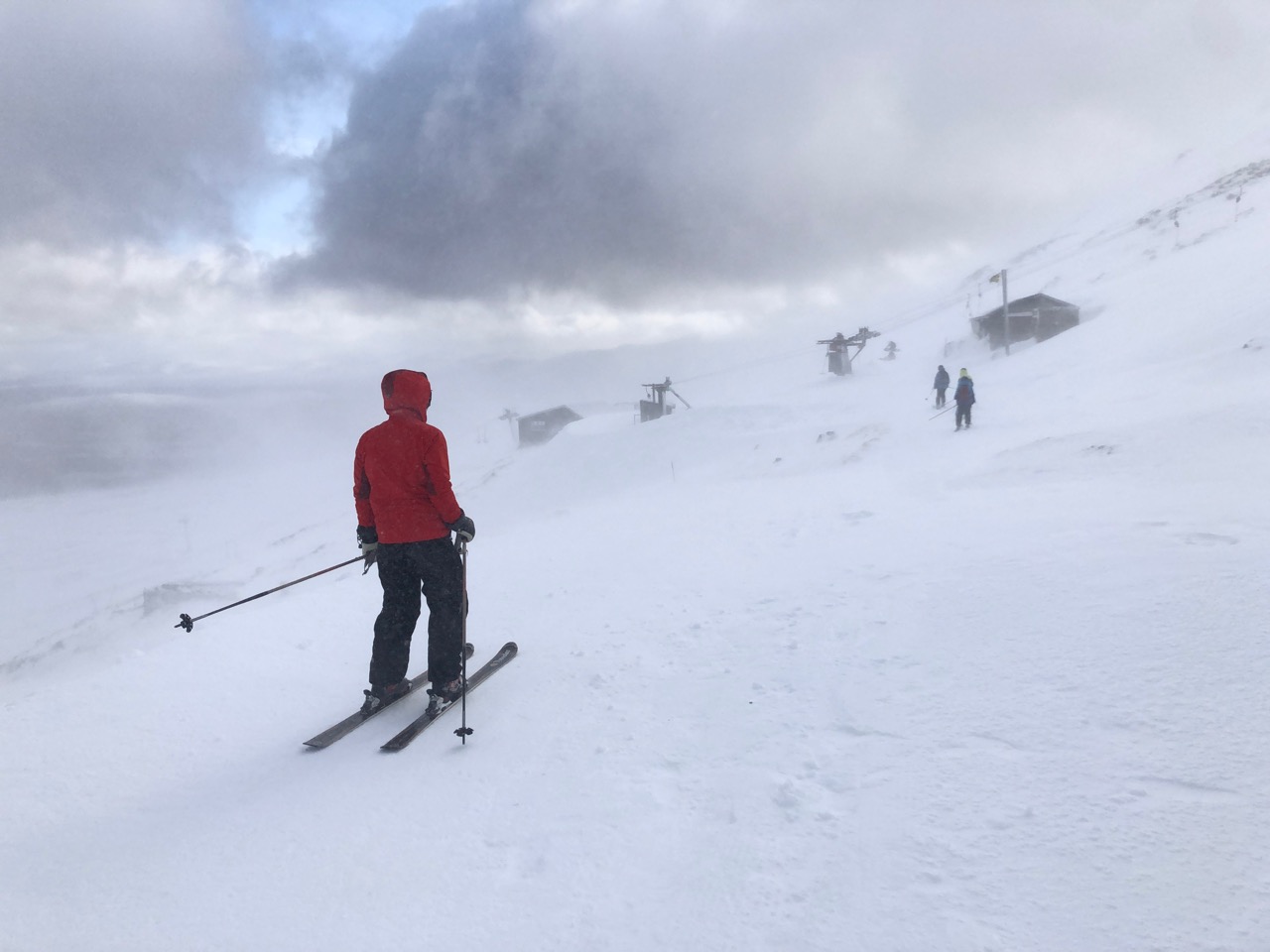
Skiiers balancing against the strong winds.

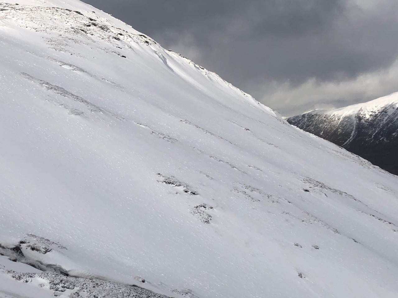
Snow being scoured off the slopes quickly forming windslab in sheltered areas.
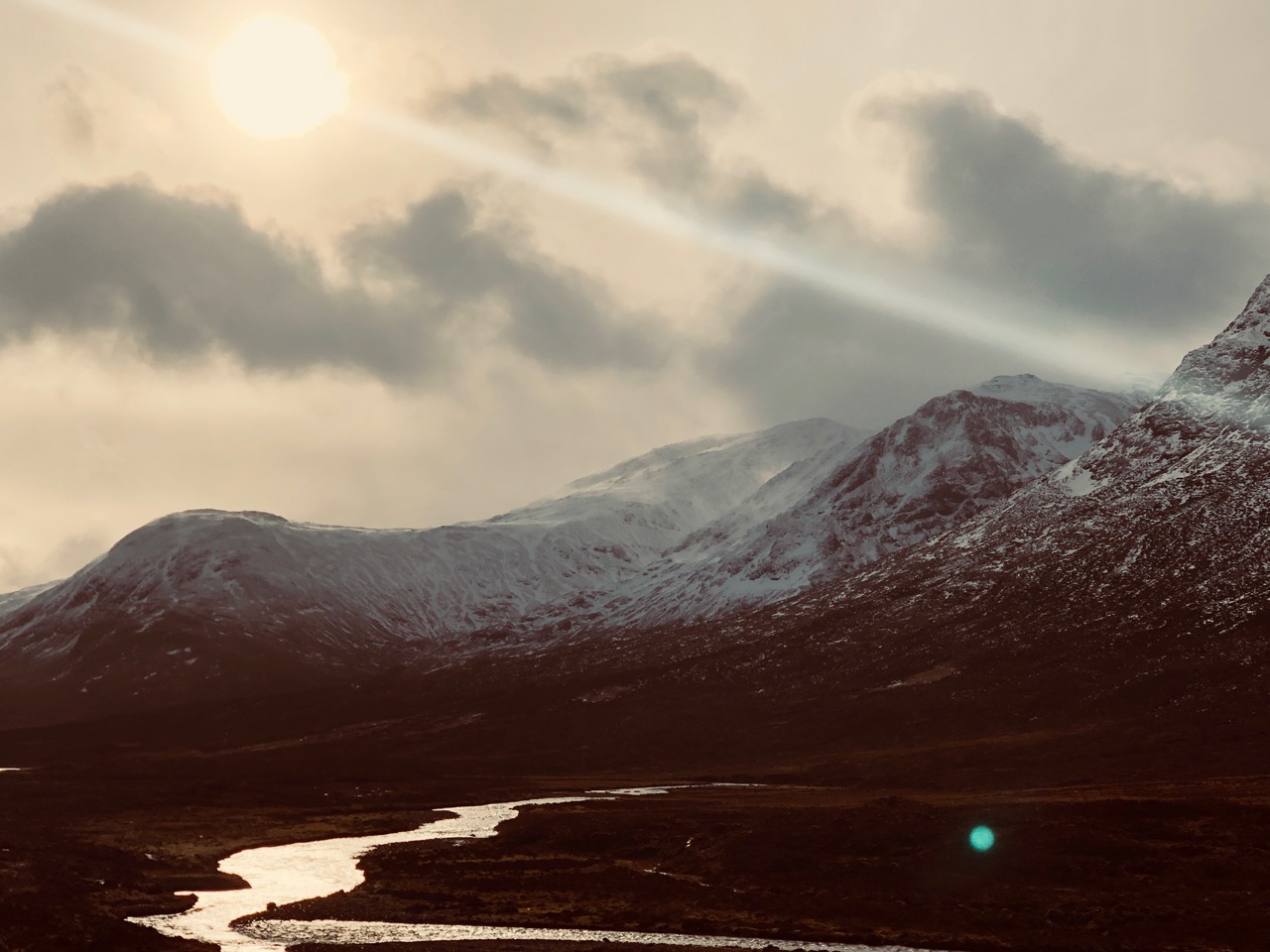
Calmer, brighter conditions at lower elevations.
Comments on this post
Got something to say? Leave a comment


