Windy with snow and hail
22nd February 2020
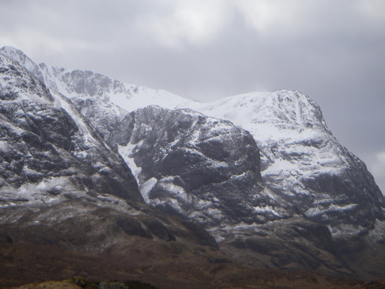
Frequent showers of snow and hail have been driven on by a strong generally South-Westerly airflow. Outlook for Sunday is further snow showers becoming heavier by afternoon. Westerly strong winds decreasing as day progresses. Exposed re-frozen older snow will be firm icy and unforgiving in the event of a slip, ice is also forming on rocks paths and watercourses, crampons and ice axe essential.

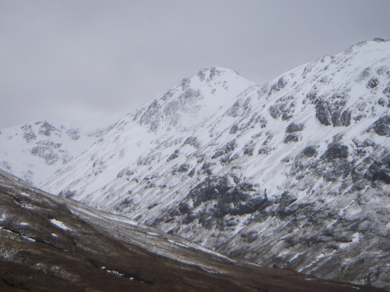
Stob na Broige left Stob Coire Raineach right the u shaped col is the high point of the Lairig Gartain.
Comments on this post
Got something to say? Leave a comment


